

TrailDamage.com

Photos, videos and information about 4x4 trails in Colorado and Utah

  • Trails
    • Colorado
    • Utah
  • Reports
    • Featured Photos
    • Reports Calendar
  • Members
  • Search
  • FAQ
  • Community
  • Upcoming Events
  • Membership
  • Log In
  • Facebook
  • Instagram
  • RSS
  • Twitter
  • YouTube
  • Trails
    • Colorado
    • Utah
  • Reports
    • Featured Photos
    • Reports Calendar
  • Members
  • Search
  • FAQ
  • Community
  • Upcoming Events
  • Membership
  • Log In

Kingston Peak 170729

July 29, 2017 by Monica

Kingston Peak

Trail Run on July 29, 2017
Report and photos by Monica I., Trail Leader
View trail information for Kingston Peak

Mike S.
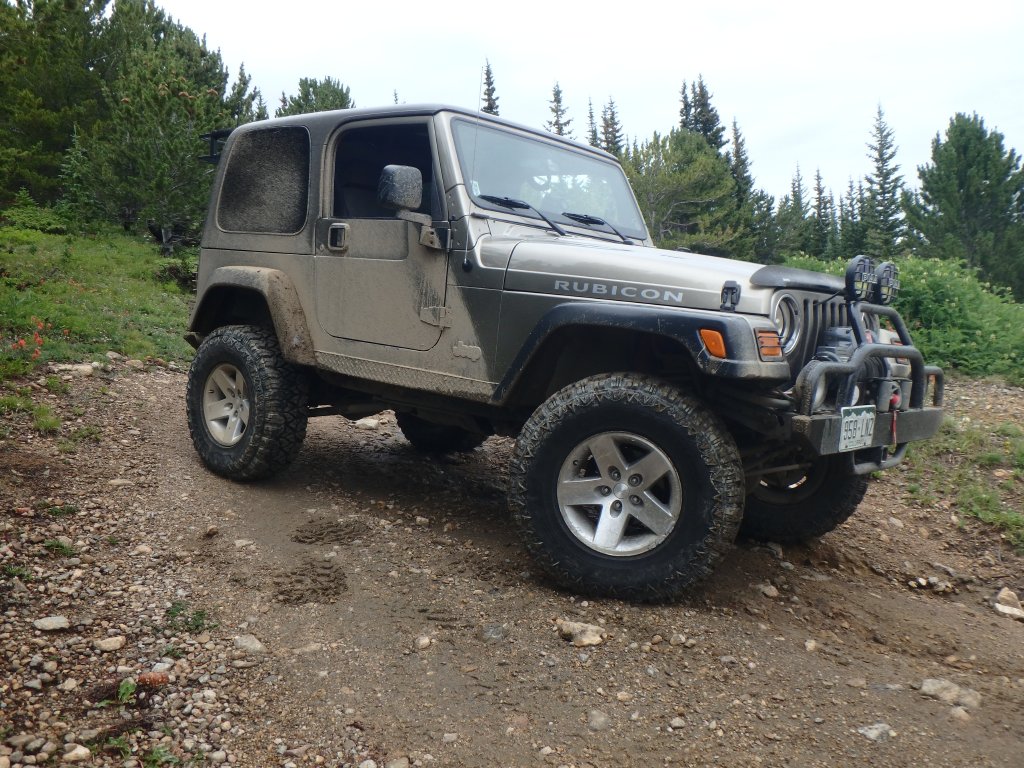
Silver 2004 Jeep Wrangler Rubicon
Tom C.
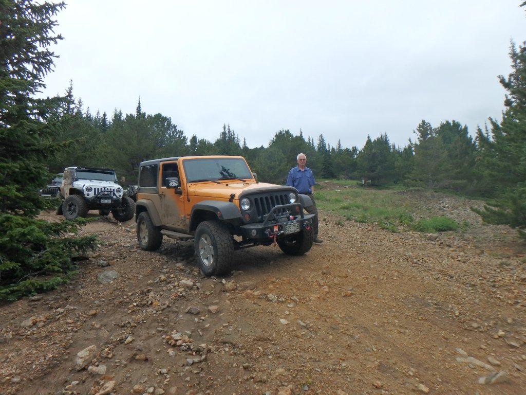
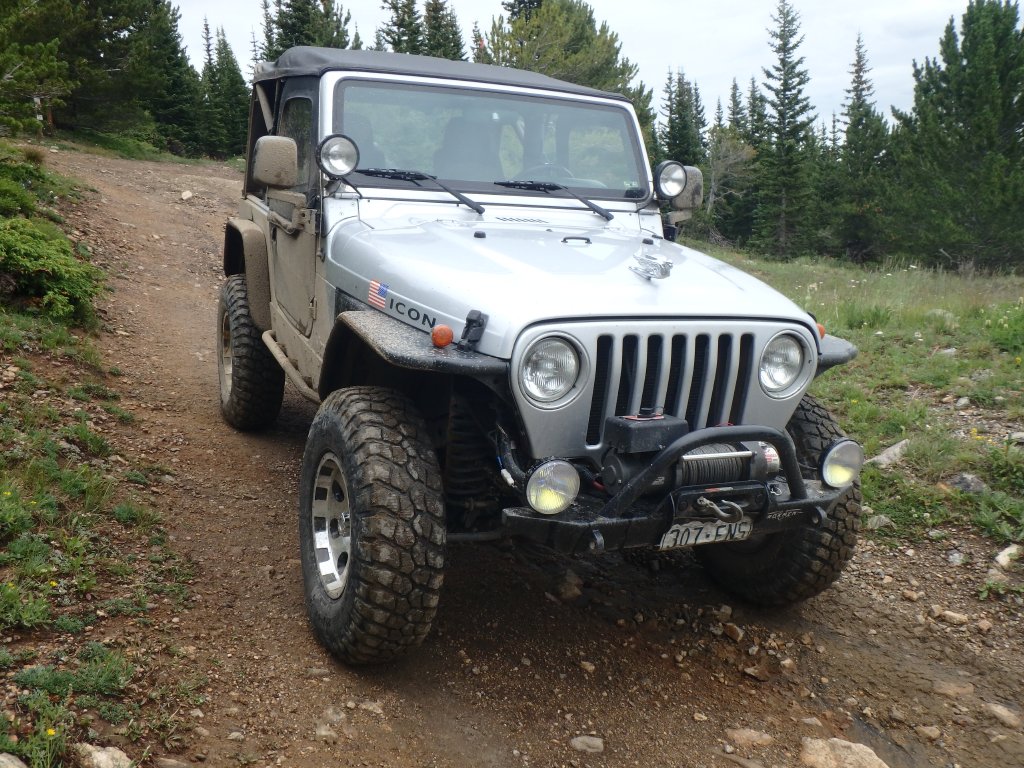
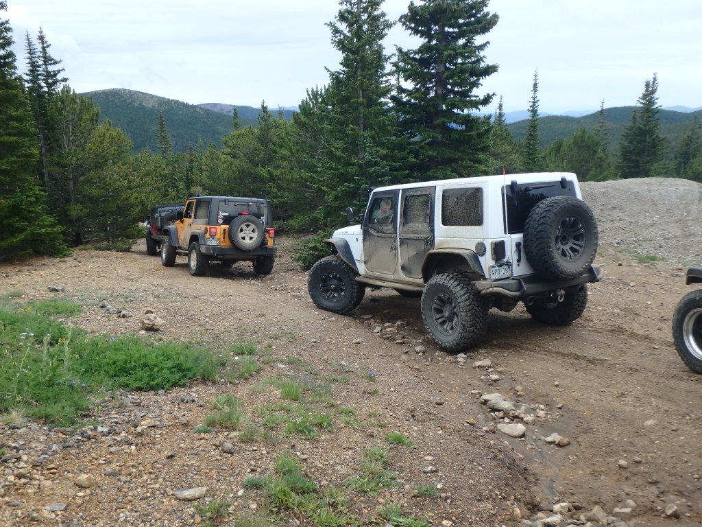
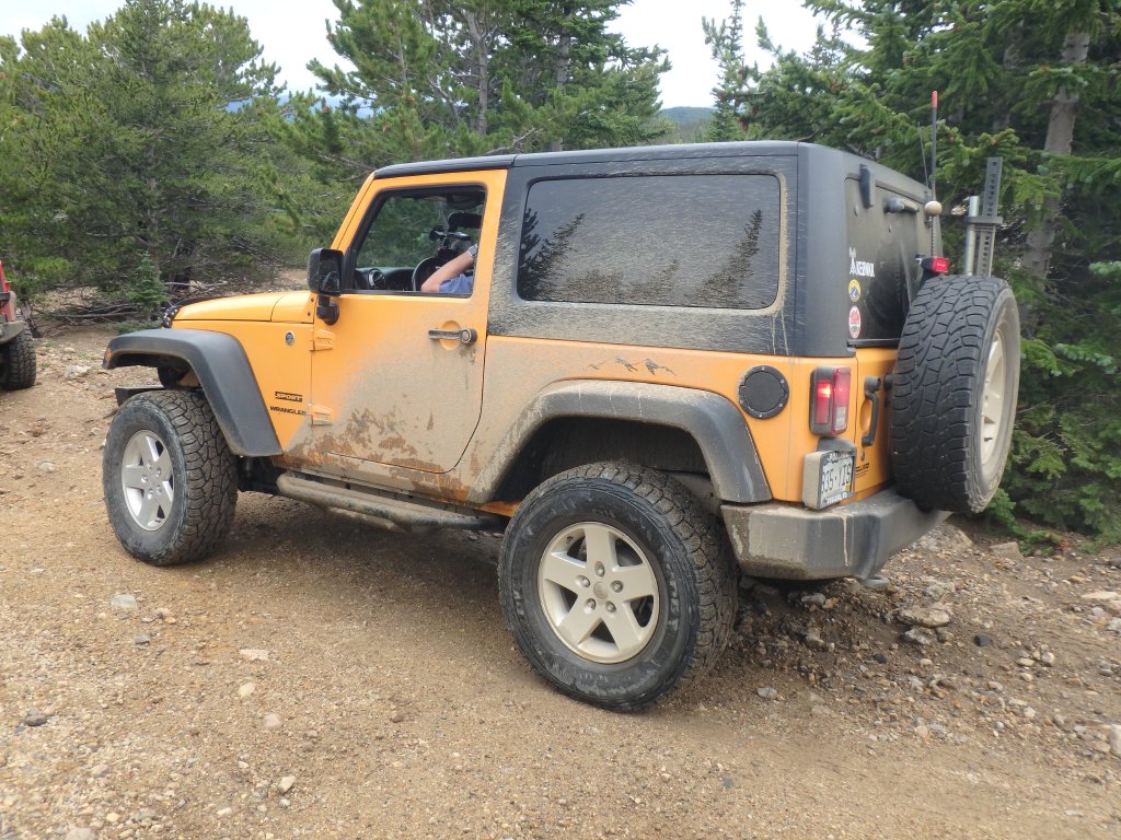
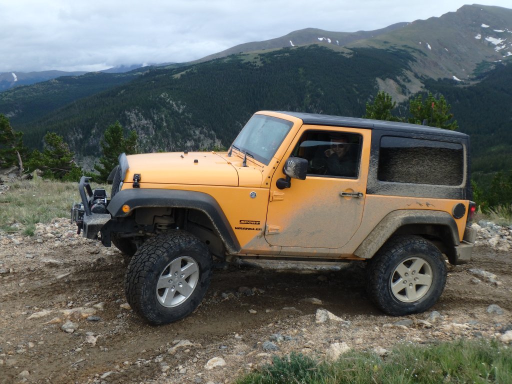
Yellow 2012 Jeep Wrangler
Matt K.
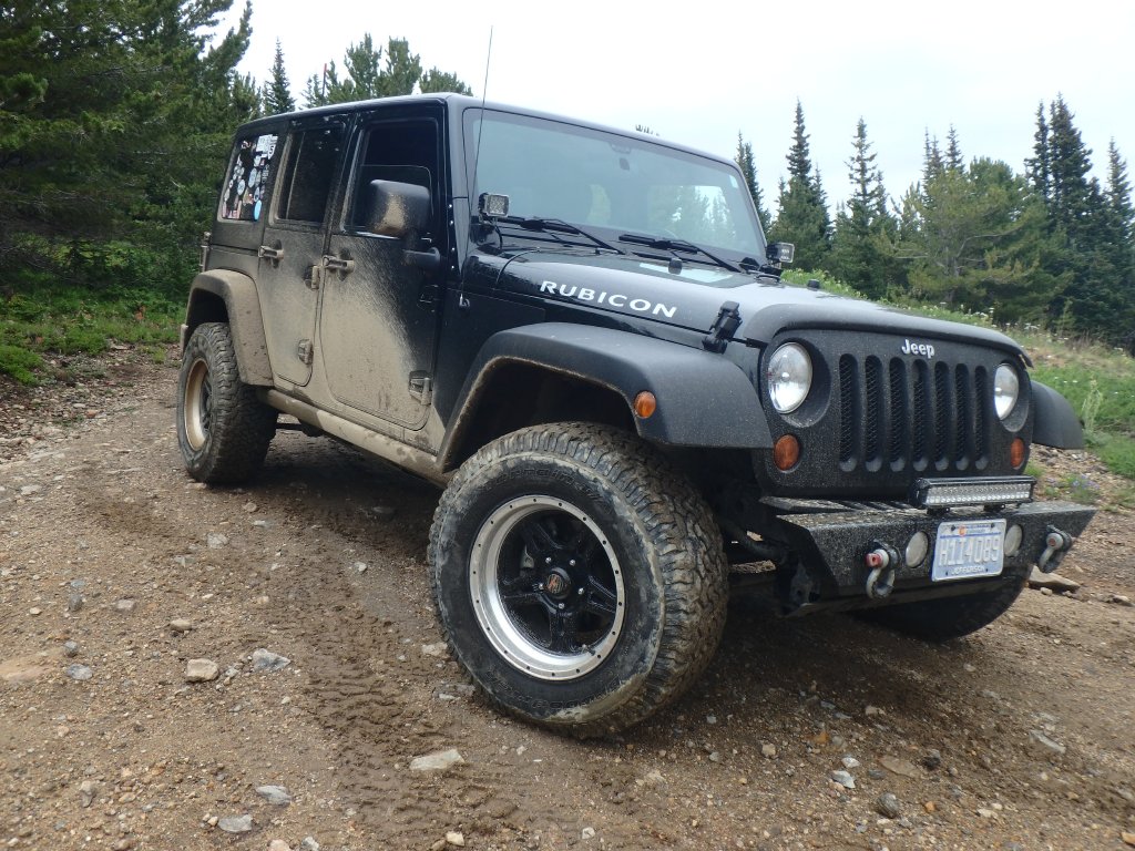
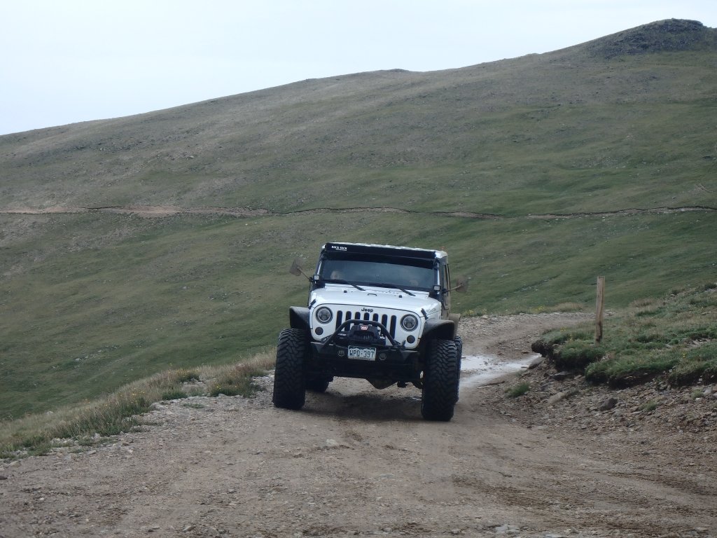
White 2016 Jeep Wrangler Unlimited Rubicon
Julie M.
Green 2012 Jeep Wrangler Unlimited Rubicon
Walt S.
Gray 2022 Jeep Wrangler Unlimited Rubicon 392
Monica I.
Red 2010 Jeep Wrangler Rubicon

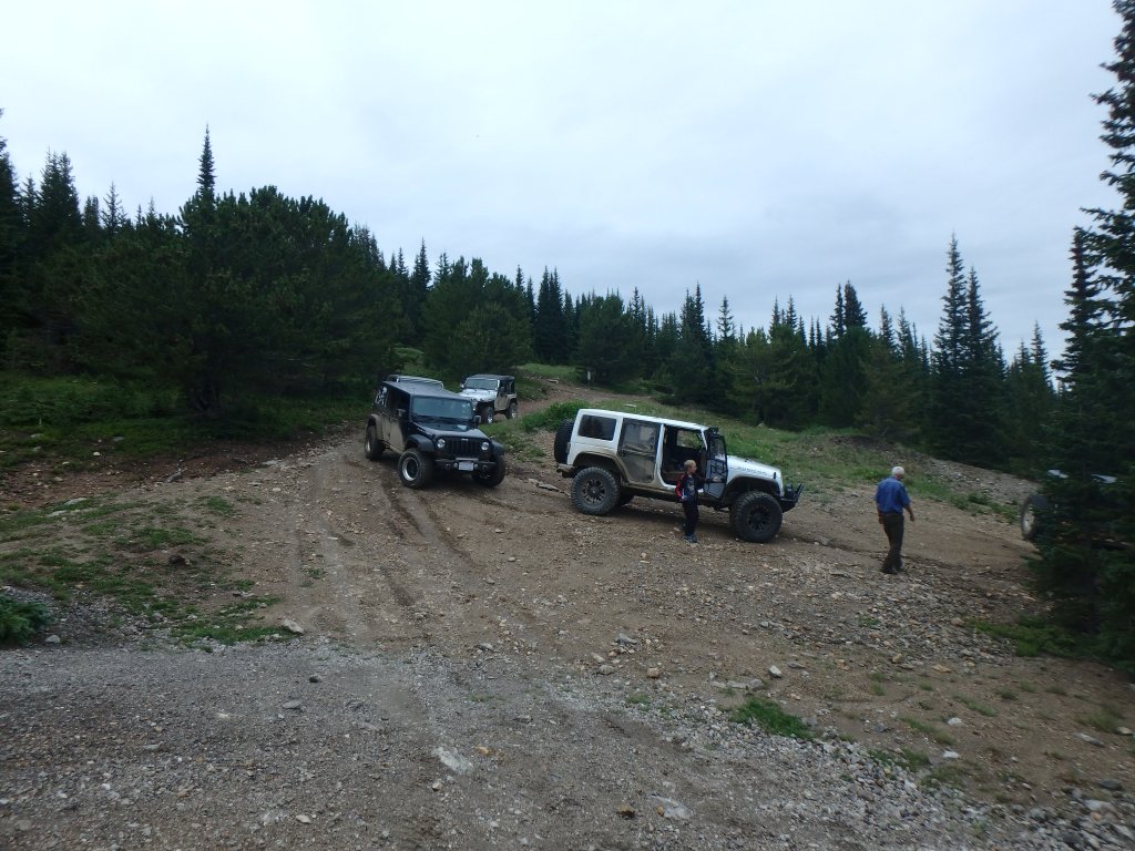
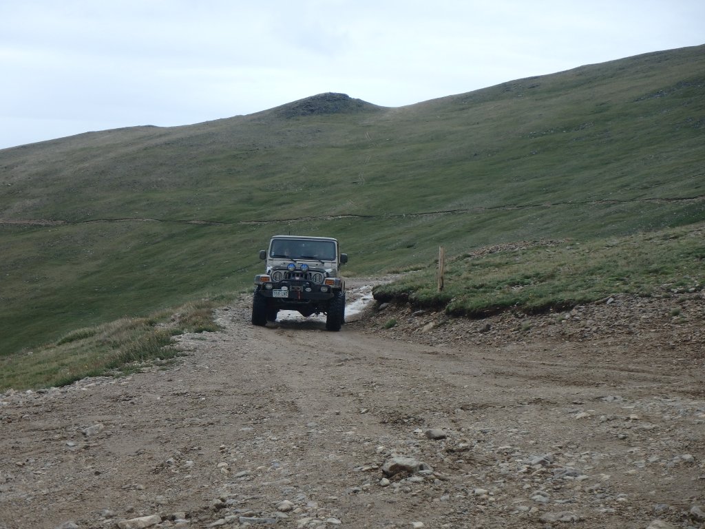
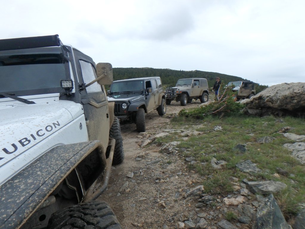
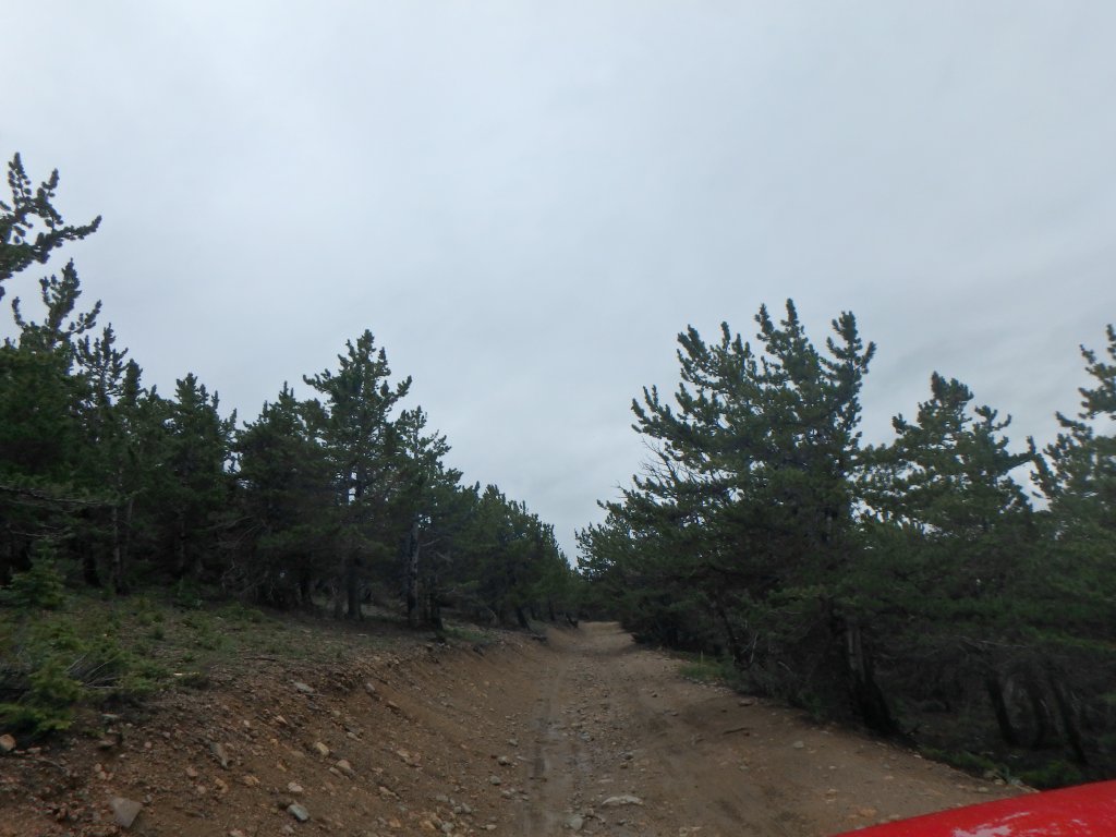
We came off of Apex Road wondering where all of the people were.  The last weekend in July is usually a busy one, but we hadn't seen many people.  As soon as we got on Kingston Peak, we found a lot of them working on the wet and slippery rocks all the way through the trail.

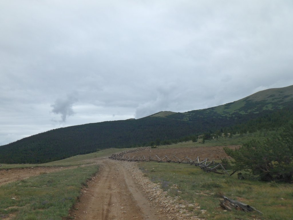
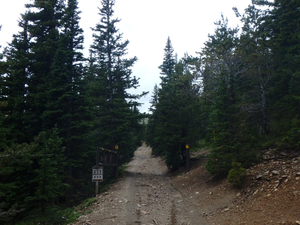
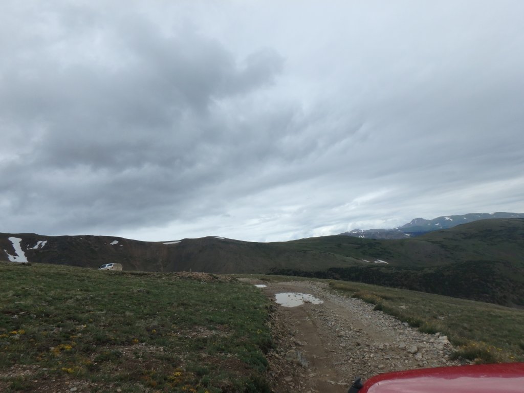
We started near the former mud puddles, still fenced off and closed.  They would have been a mess on that rainy day, and we would have avoided them anyway.  Then we headed into the trail.

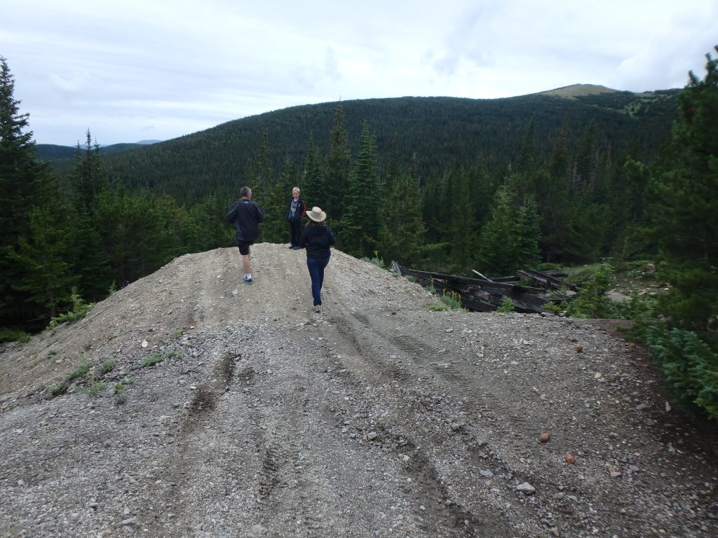
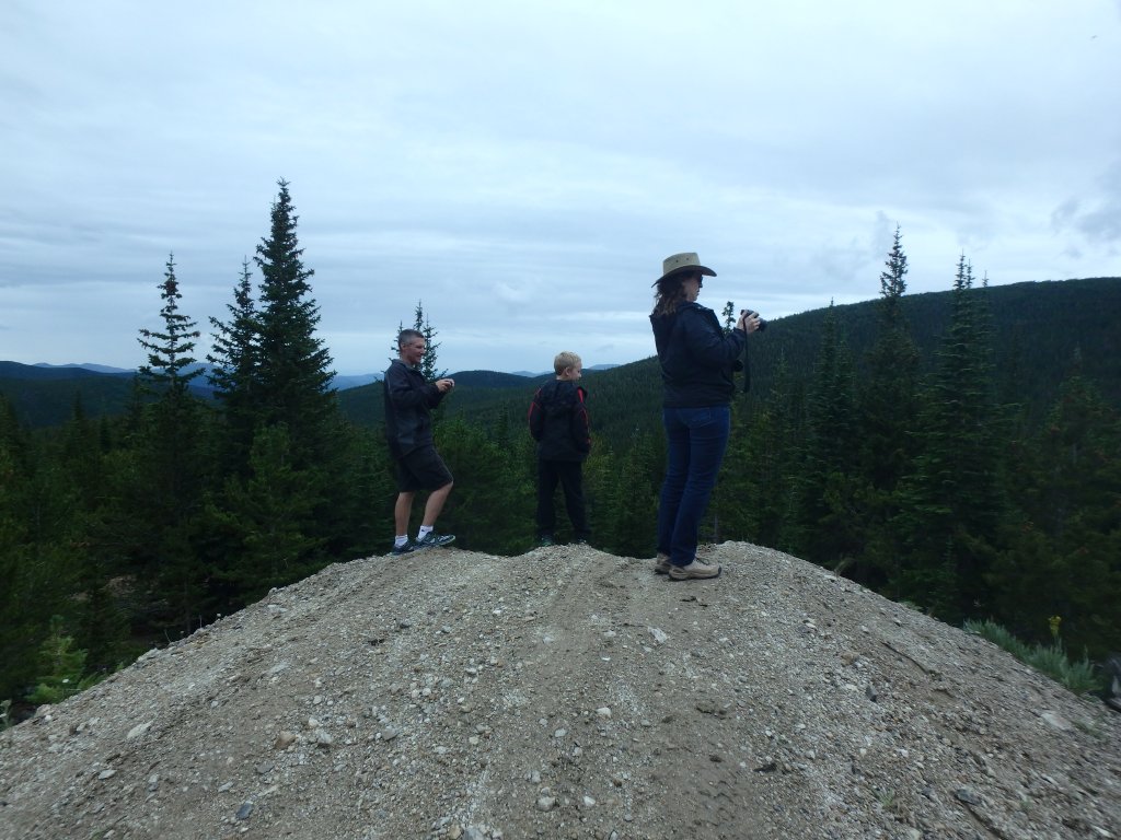
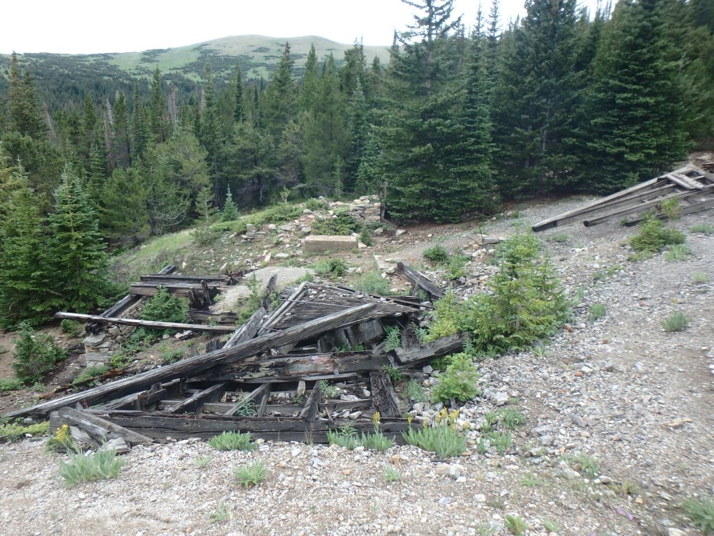
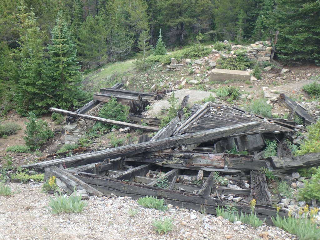
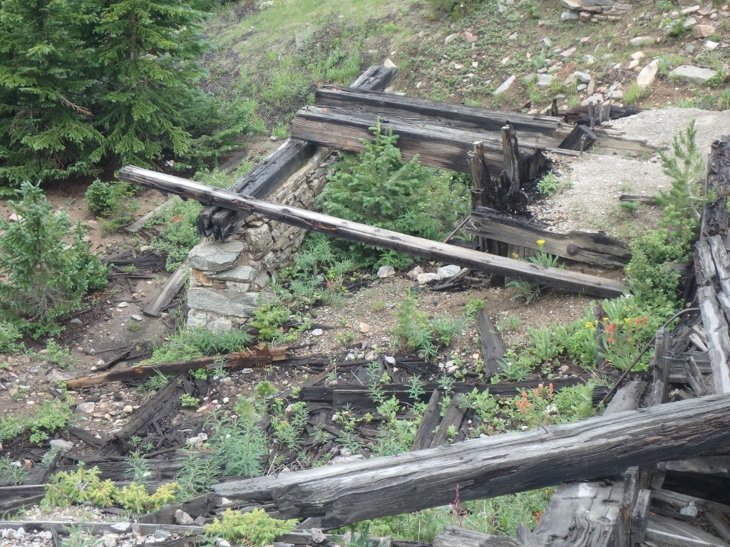
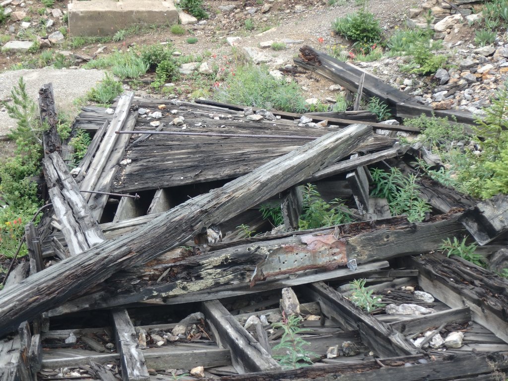
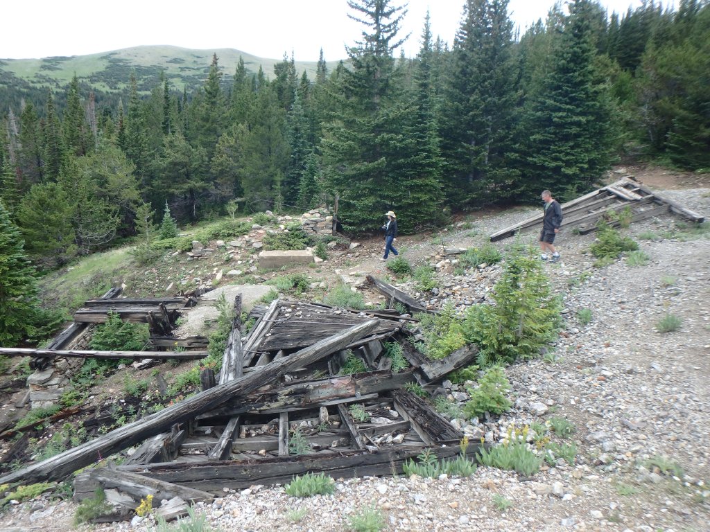
It's rare that we stop at the collection of mines near the intersection with Sheridan Hill, but we did this time.  We were glad we did, because it was nice to get out an explore.  The rain was letting up, and we walked around a bit.  We could hear some people farther down Sheridan Hill, so we didn't head off in that direction.

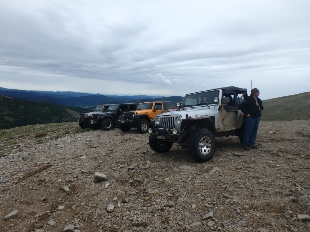
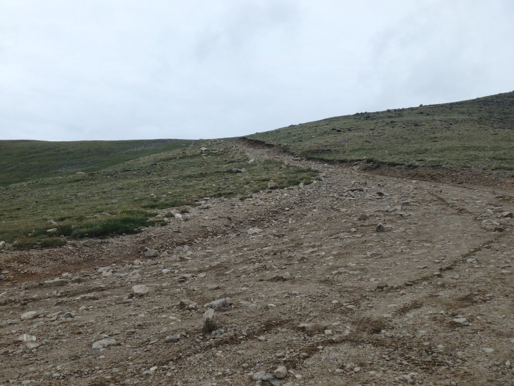
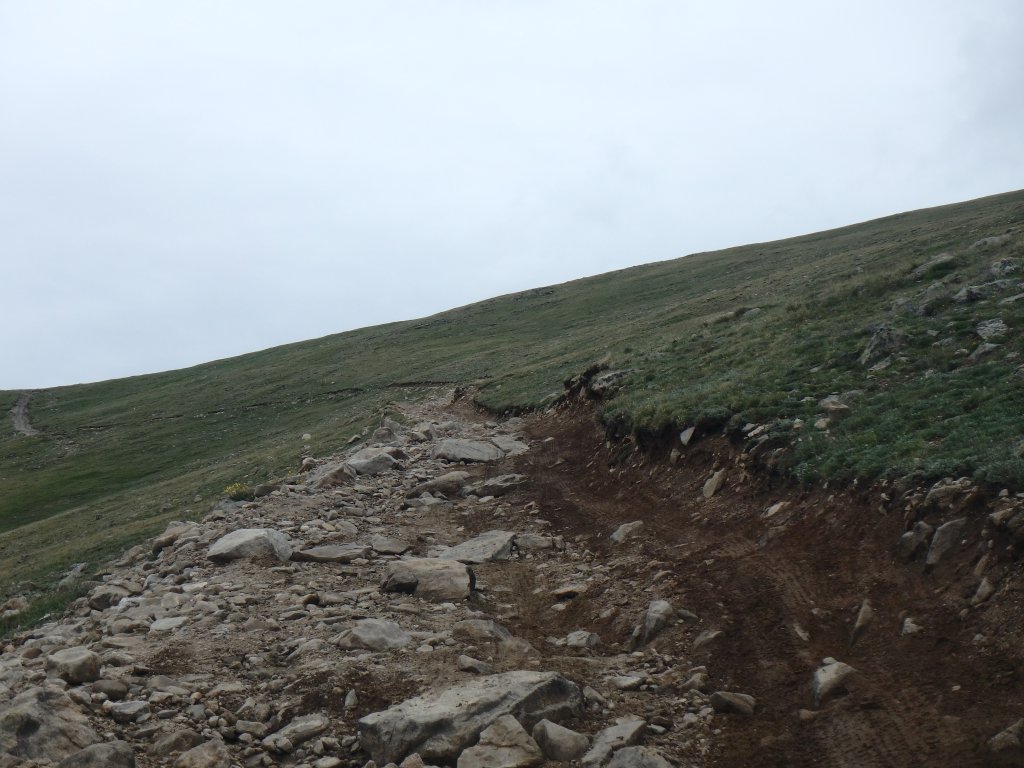
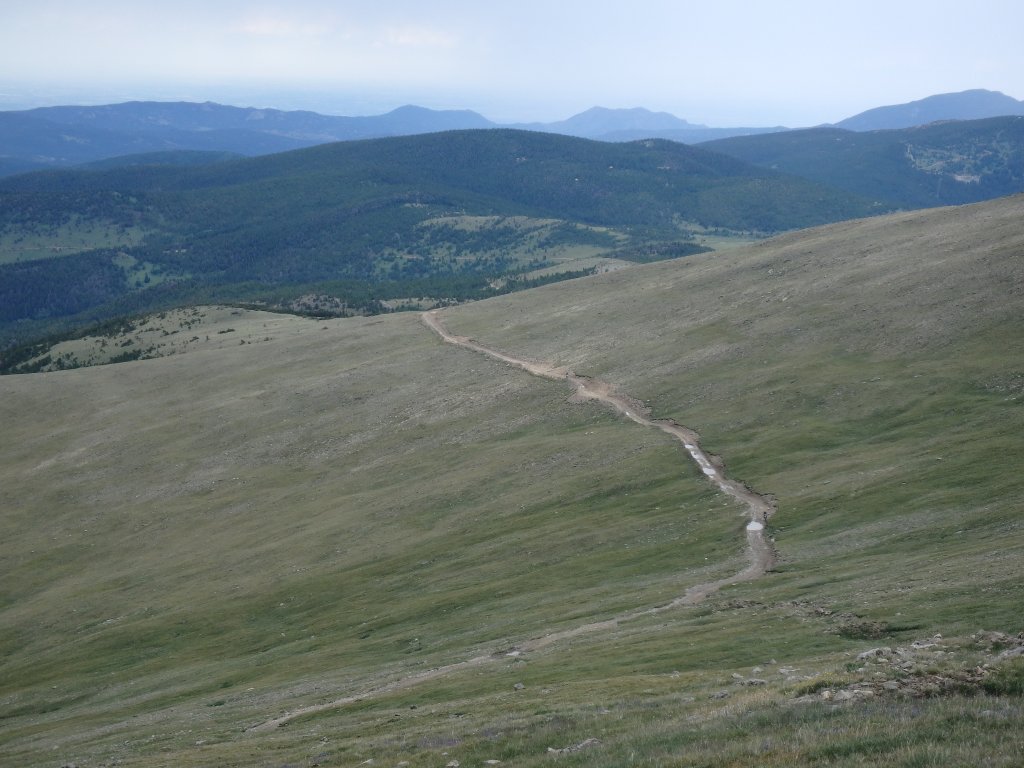
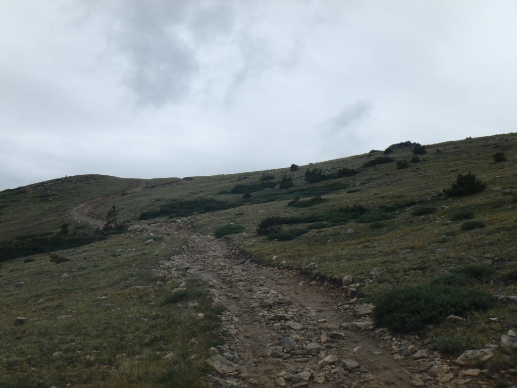
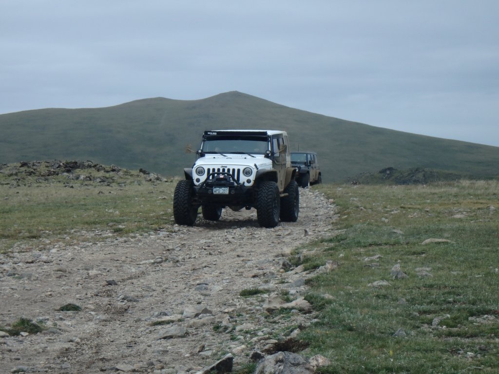
We had the long cut in the hill to ourselves, thankfully, and we made it to the James Peak overlook without incident.  There were a few cars, and it was strangely not windy.  That's one of the windiest places we know of, so it was odd.  We waited for a truck to get ahead of us, and then started up the hill climb.

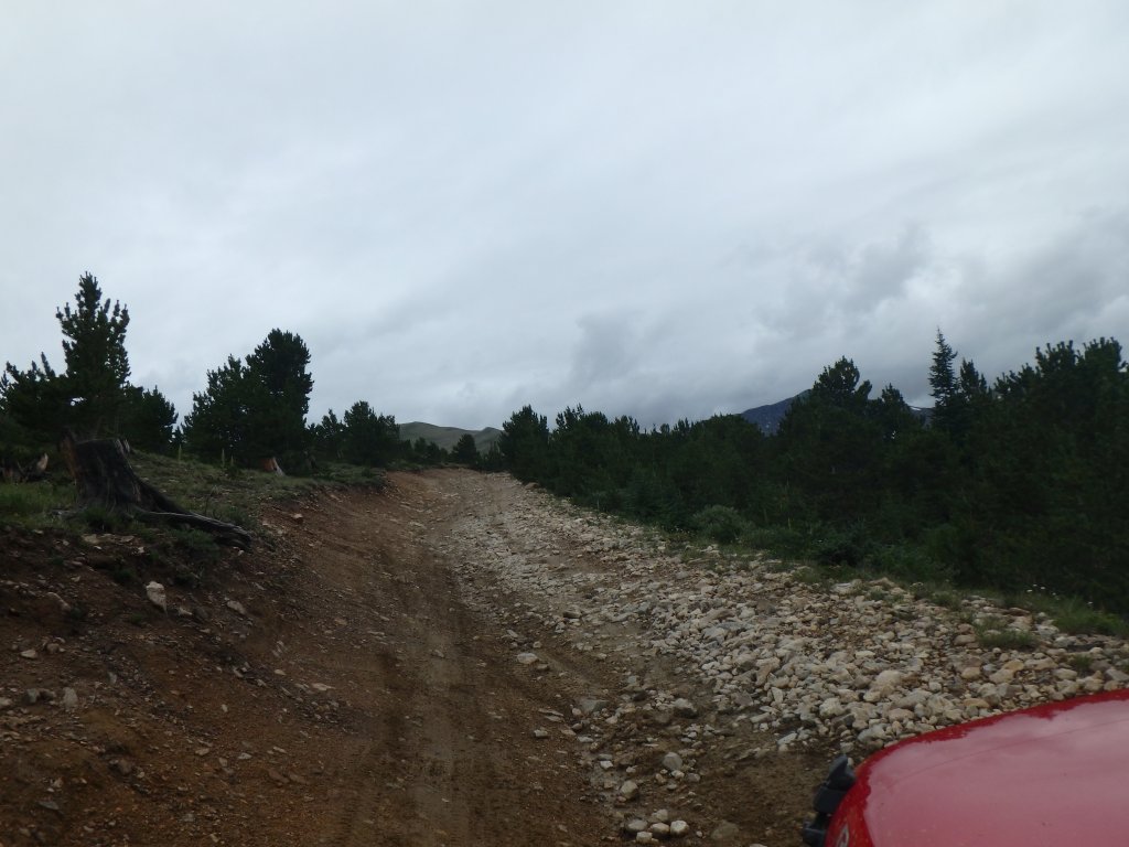
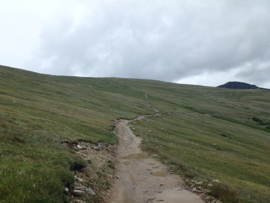
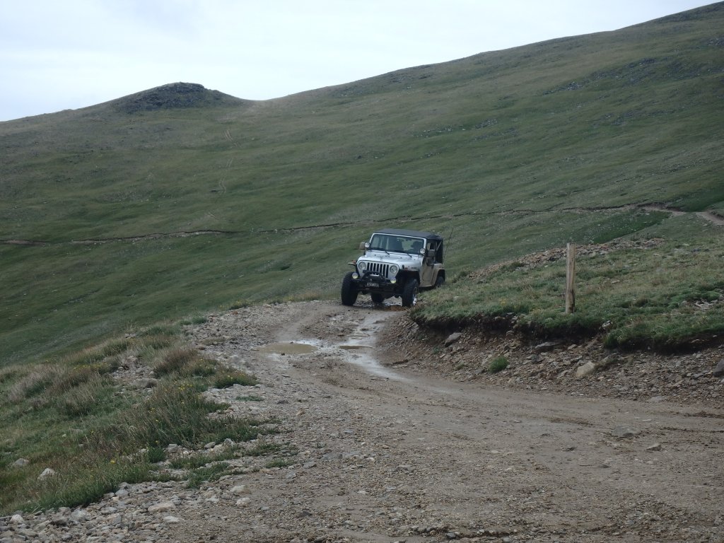
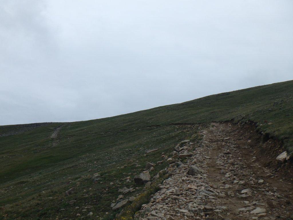
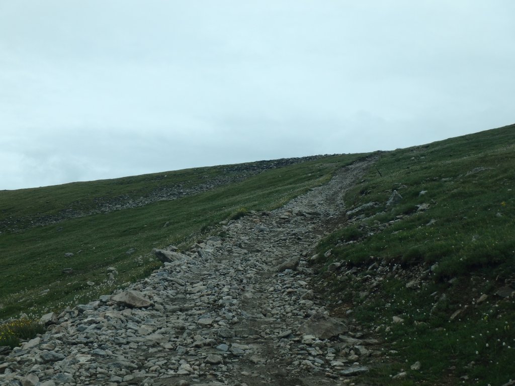
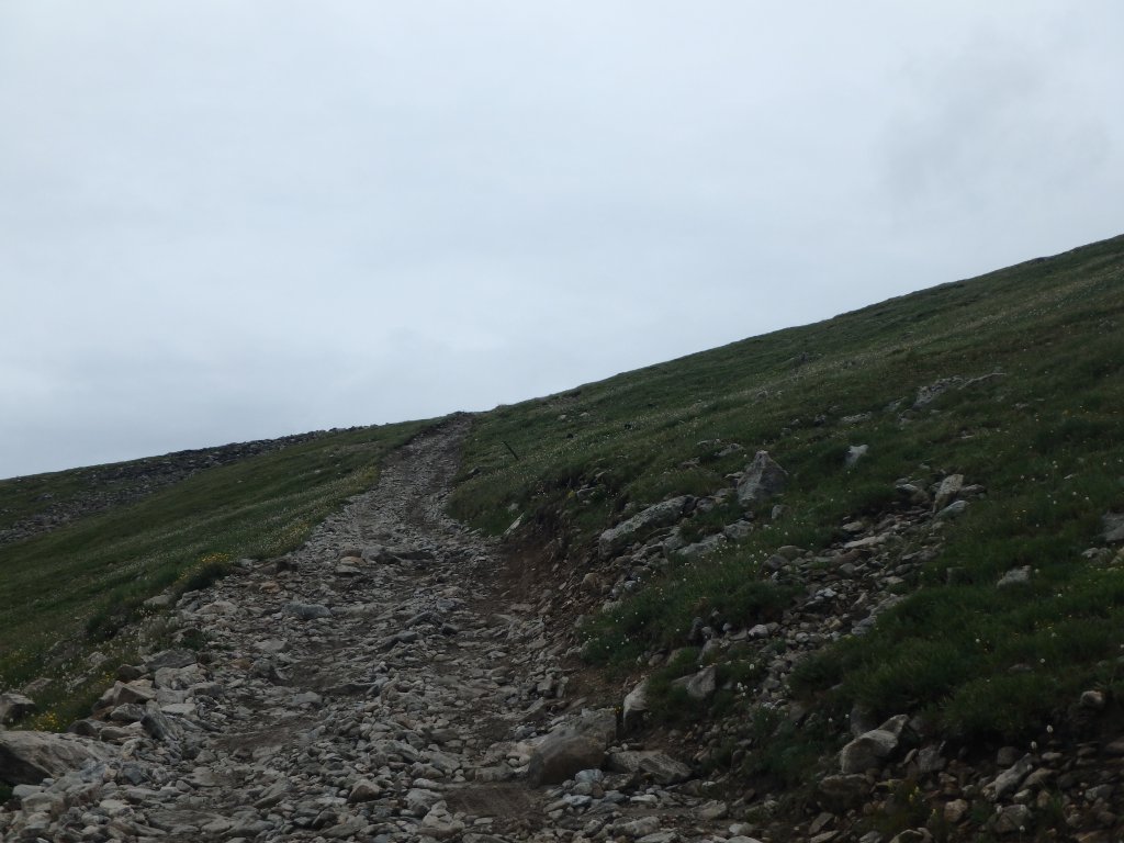
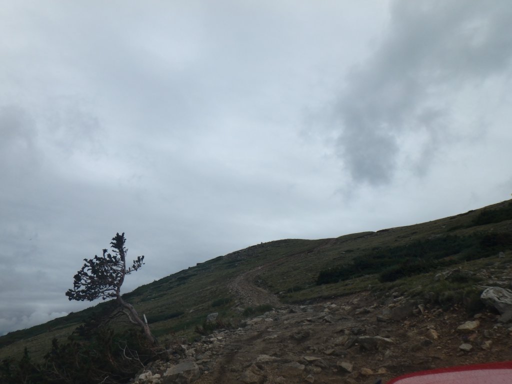
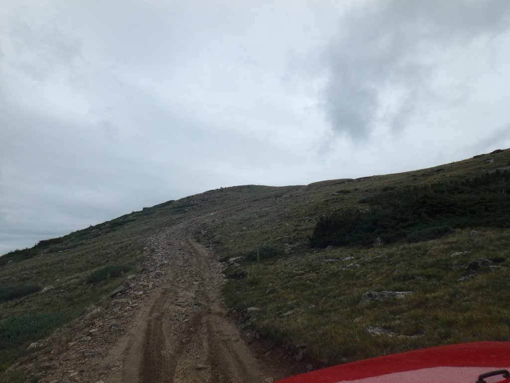
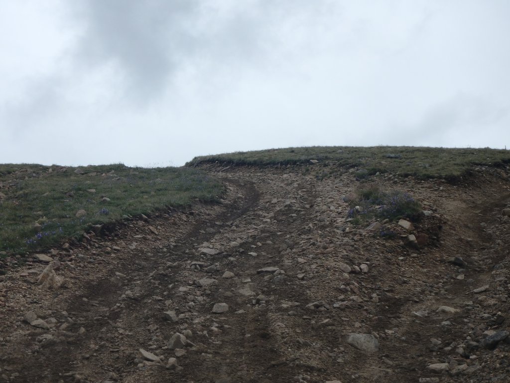
It wasn't muddy, but the rocks were definitely slick and loose.  We usually do Kingston Peak in the other direction, and we chatted about how much more fun it was this way.

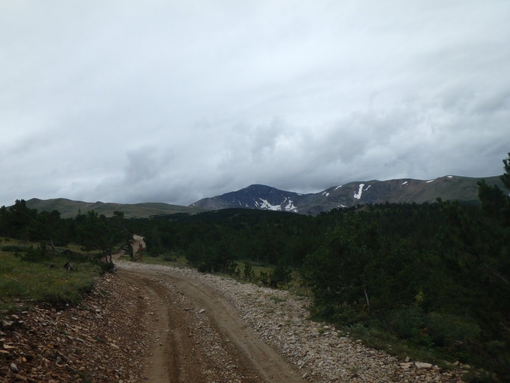
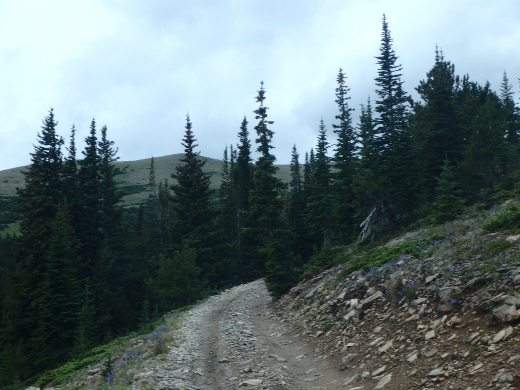
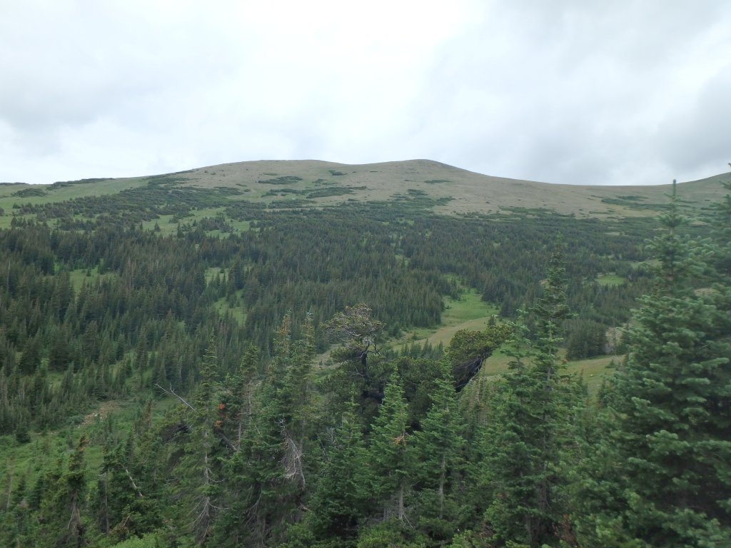
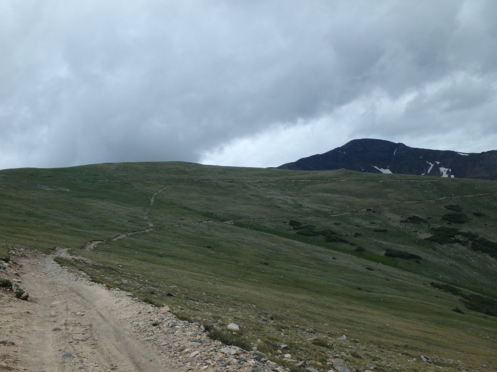
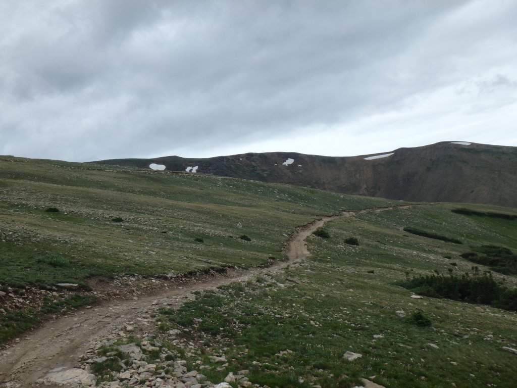
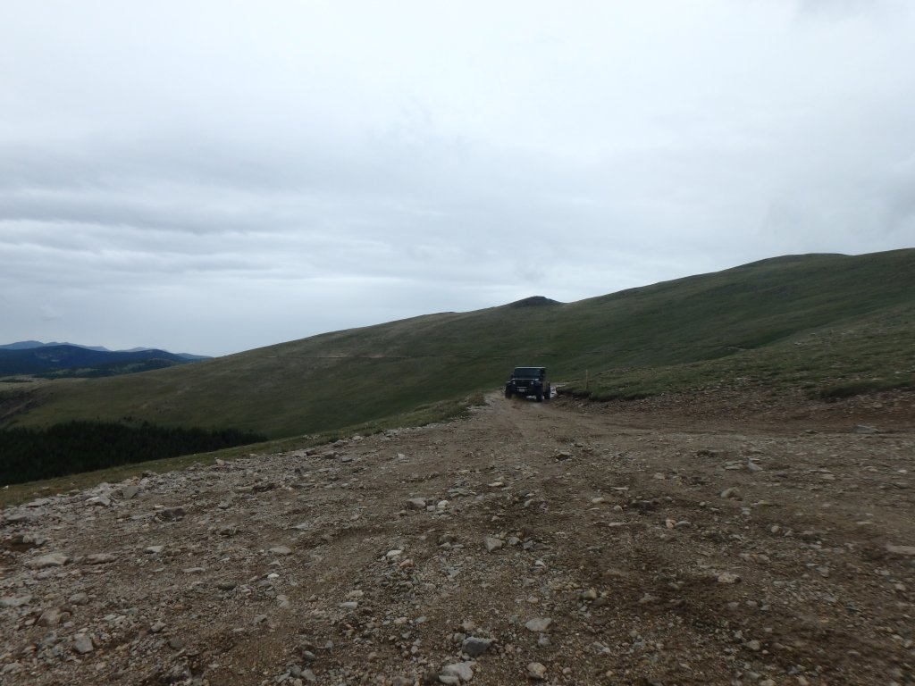
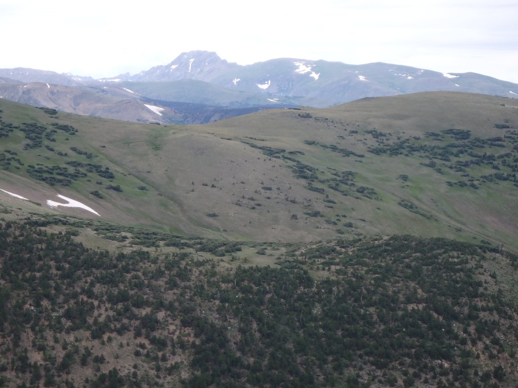
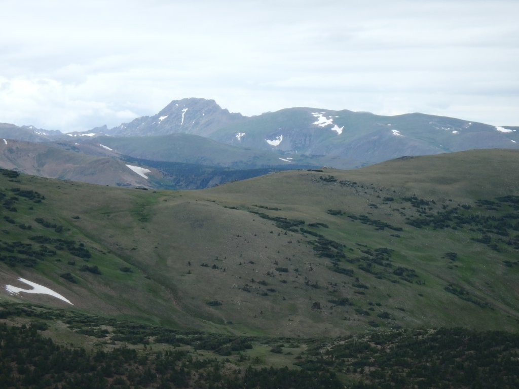
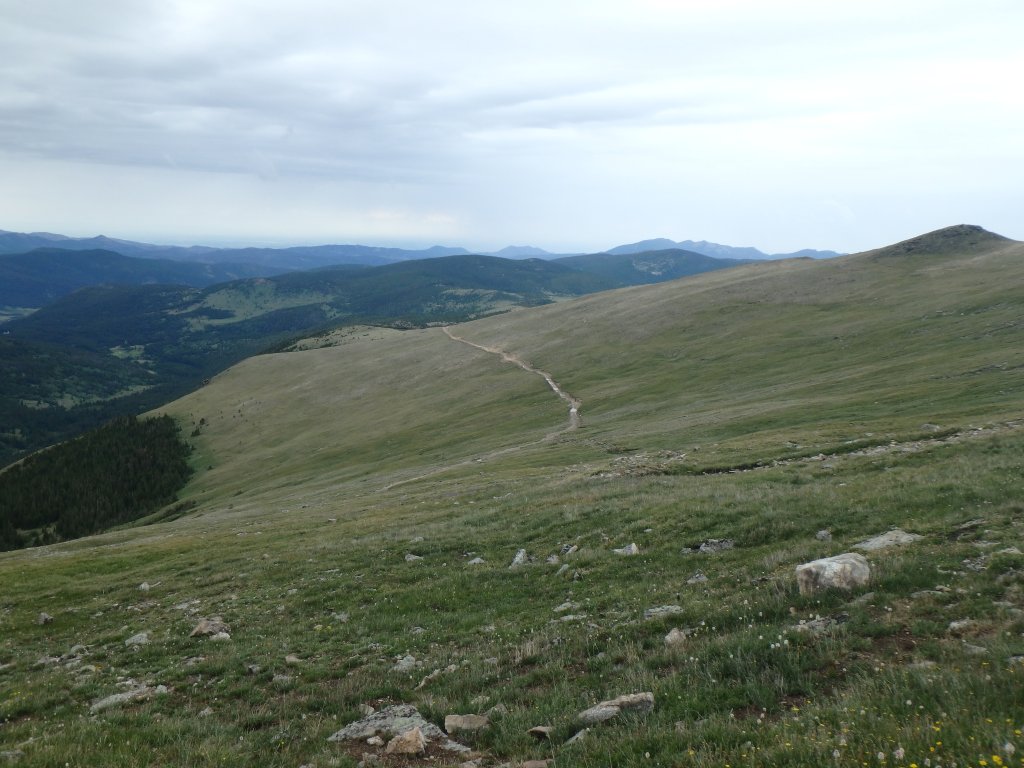
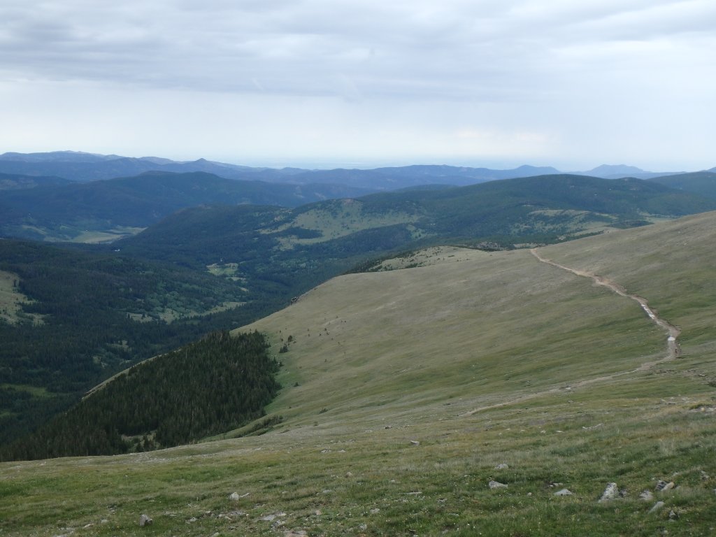
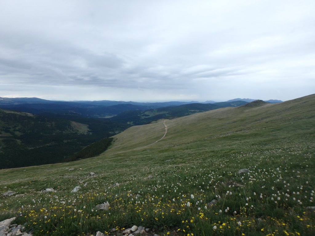
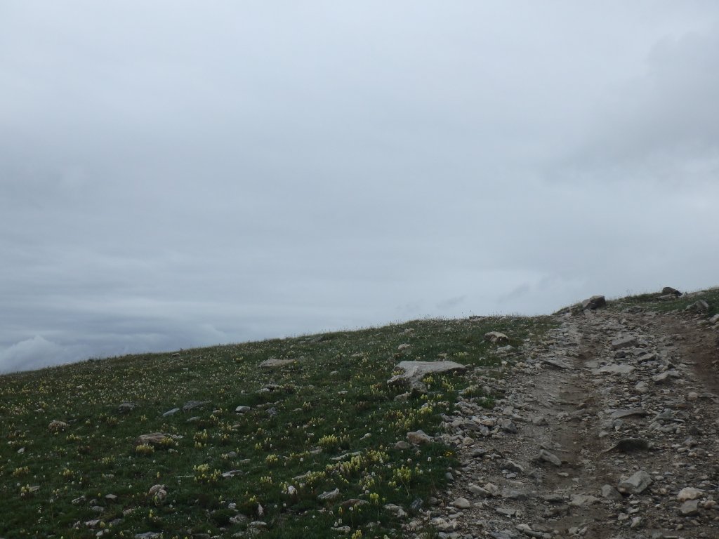
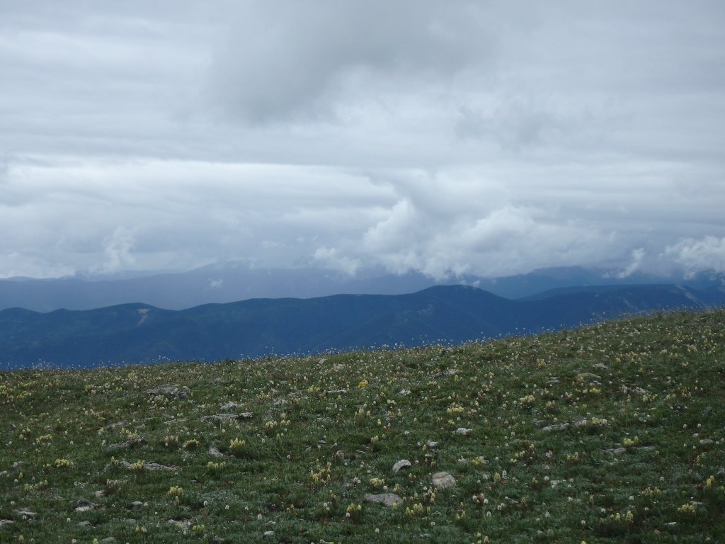
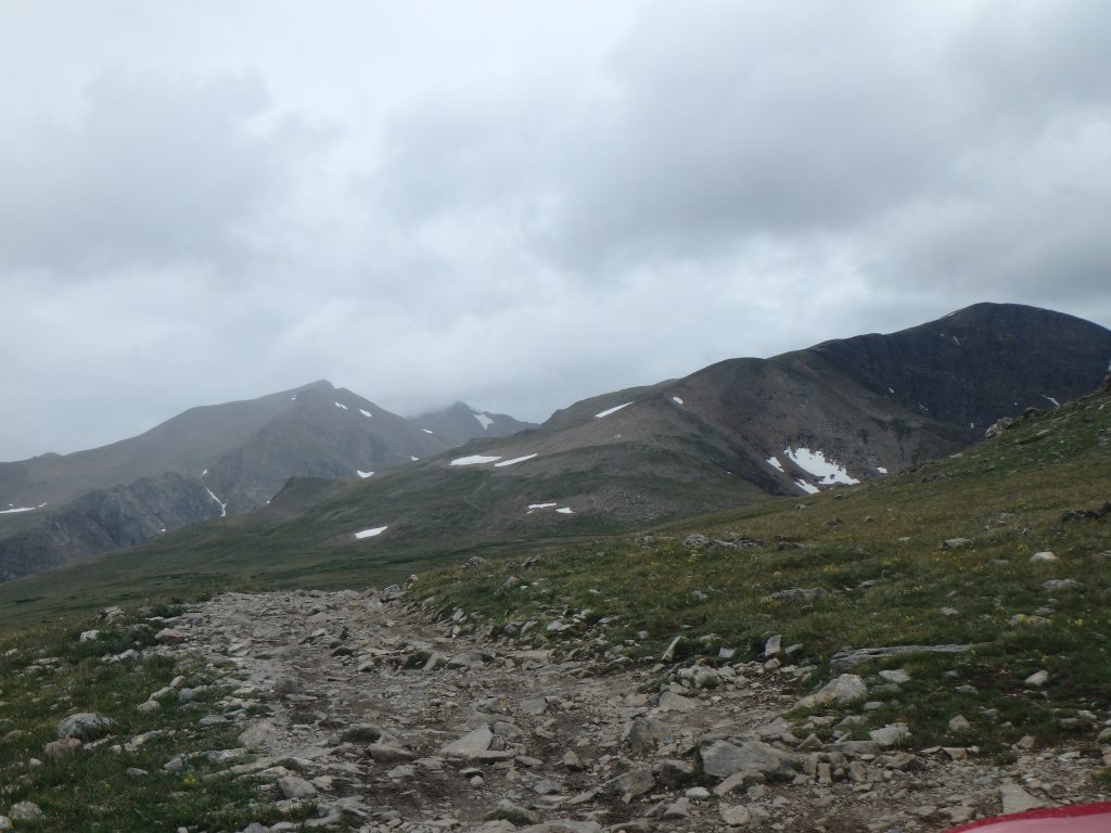
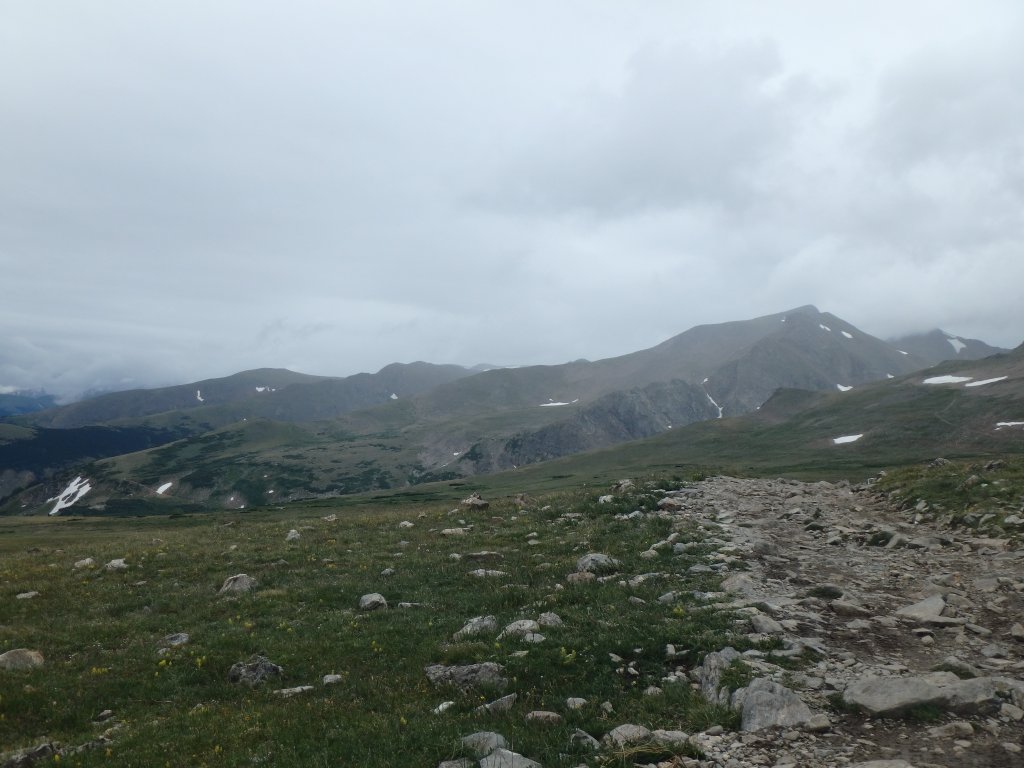
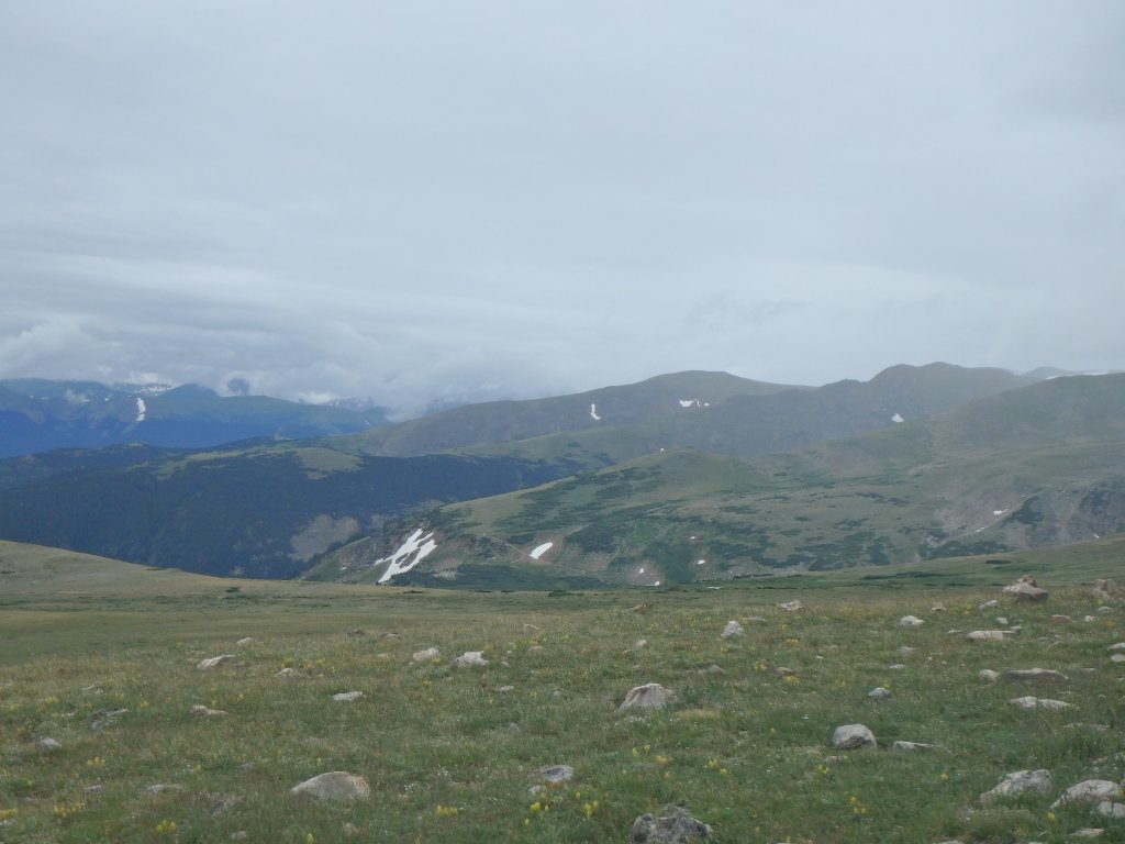
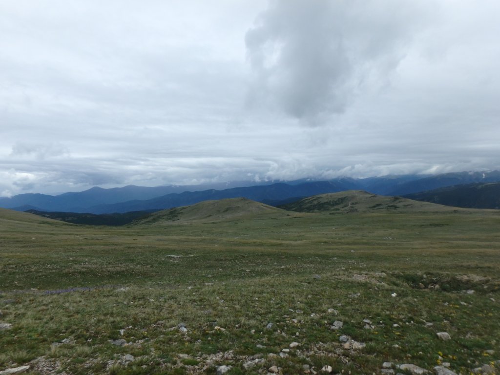
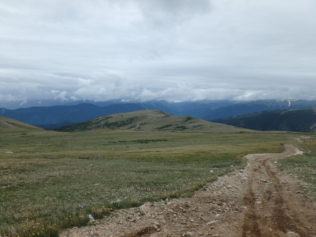
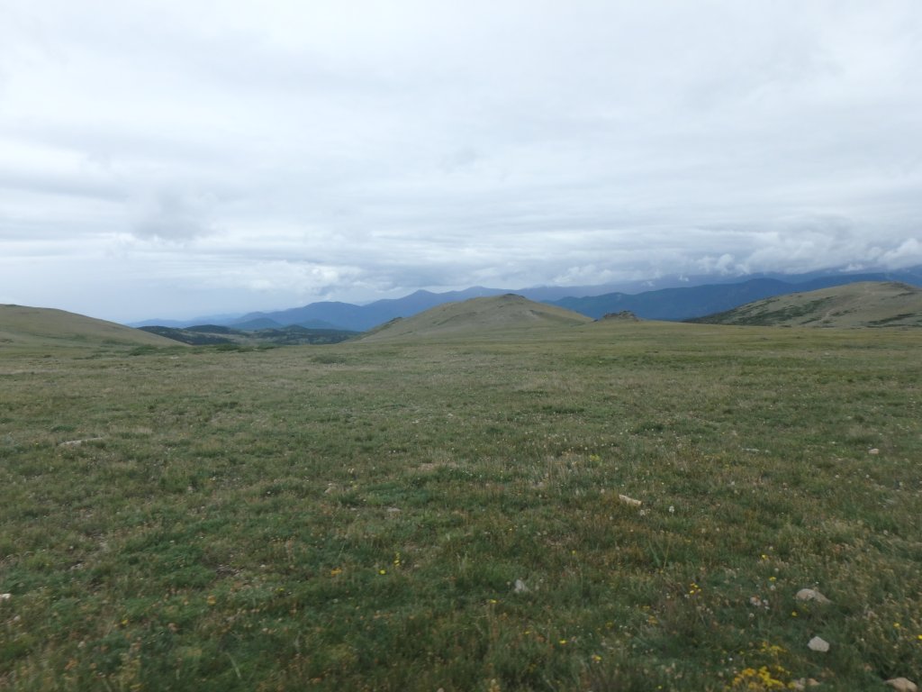
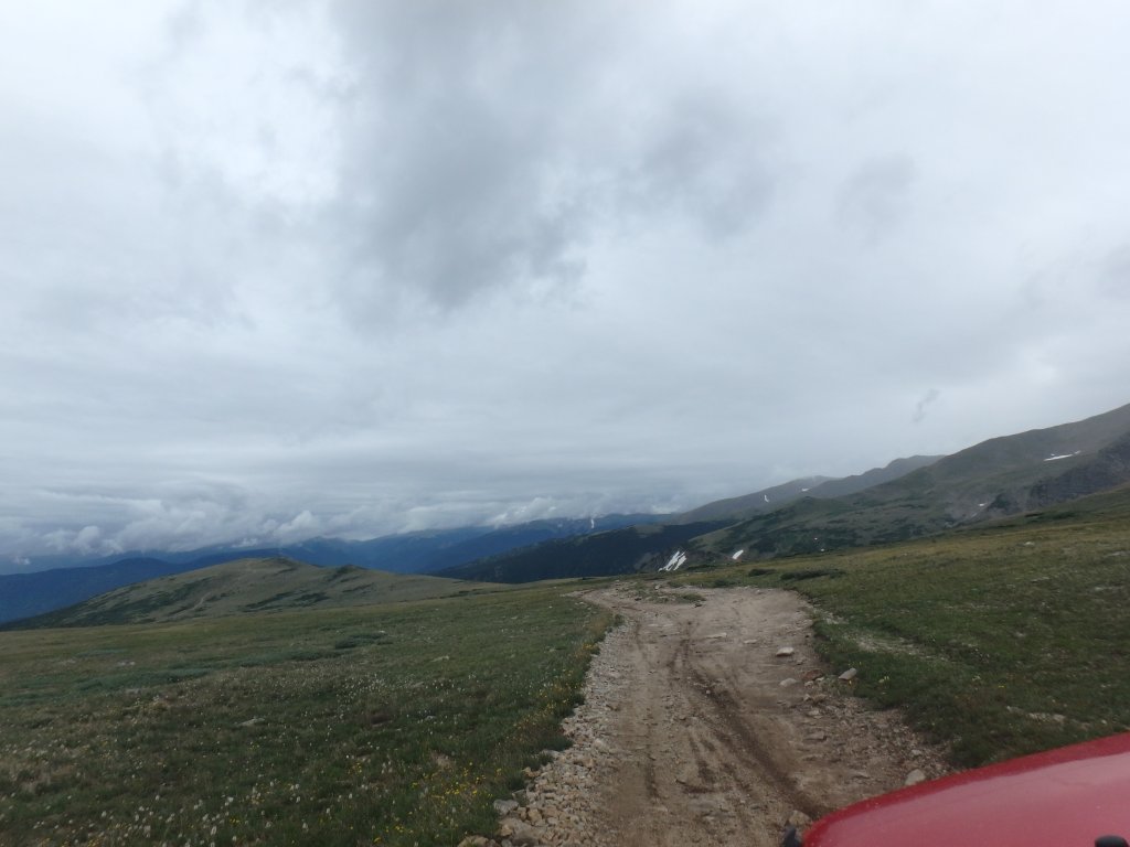
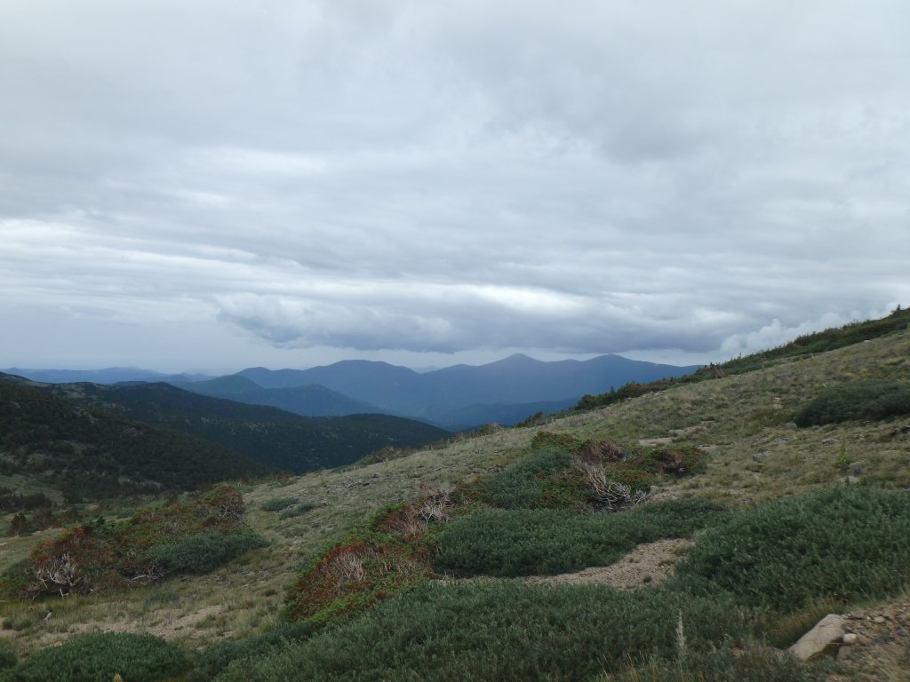
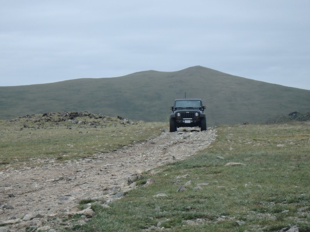
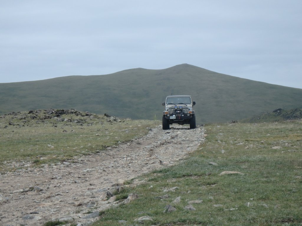
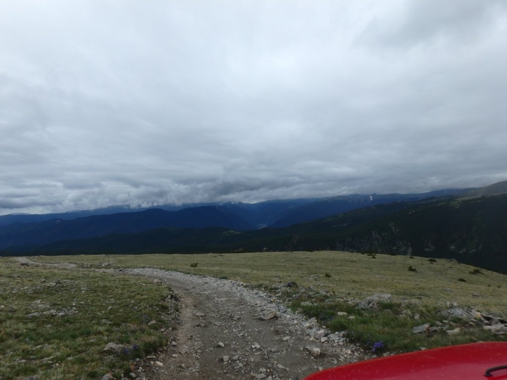
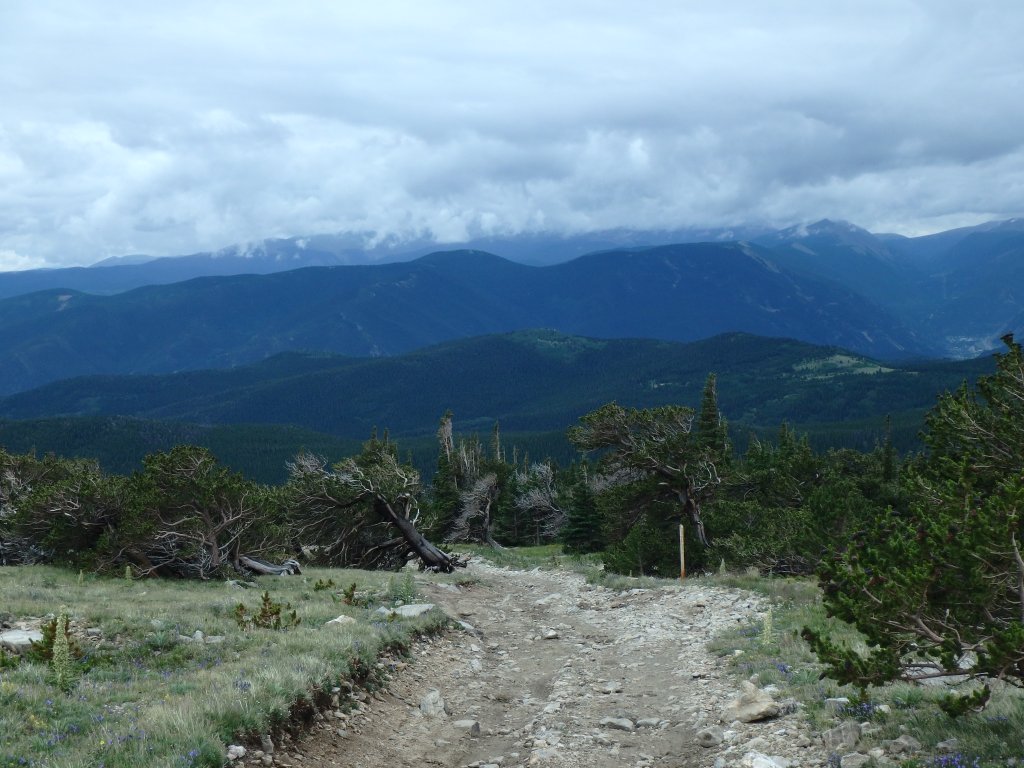
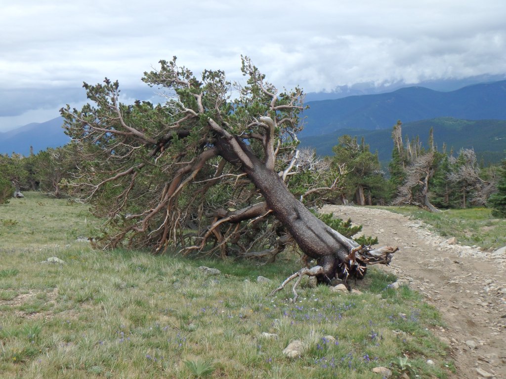
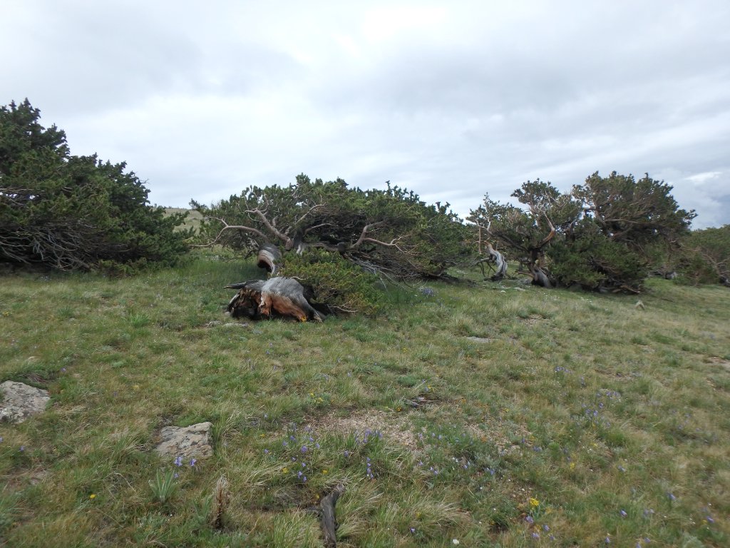
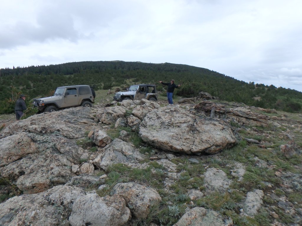
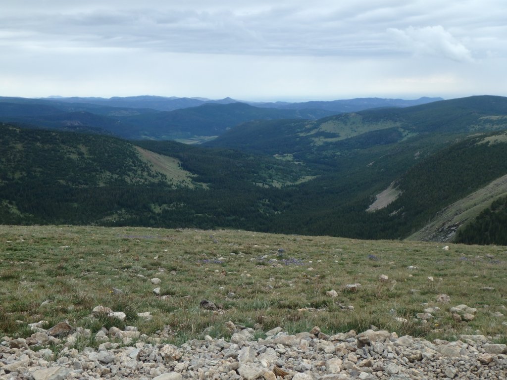
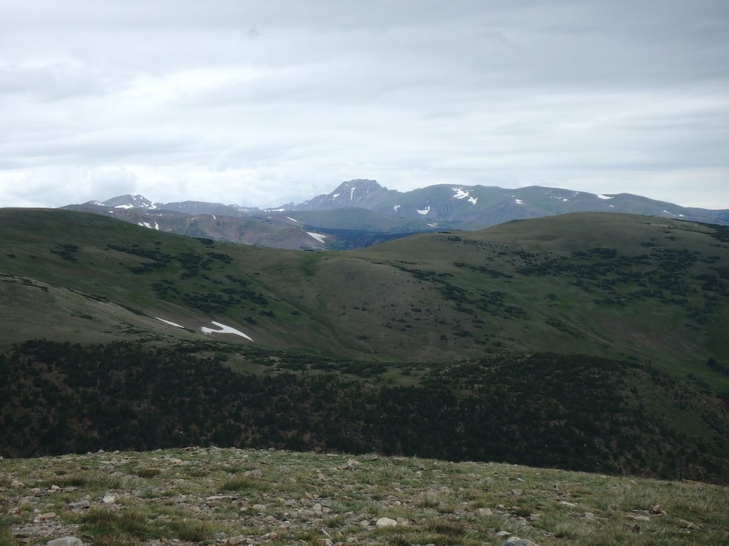
The clouds were low, and the stretch between peaks was almost creepy and definitely beautiful.  There were flowers everywhere, and we passed other vehicles and dirtbikes along the way.  It was a nice drive, and a nice hill climb at the other side.

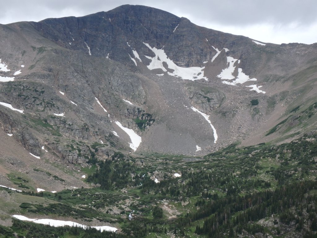
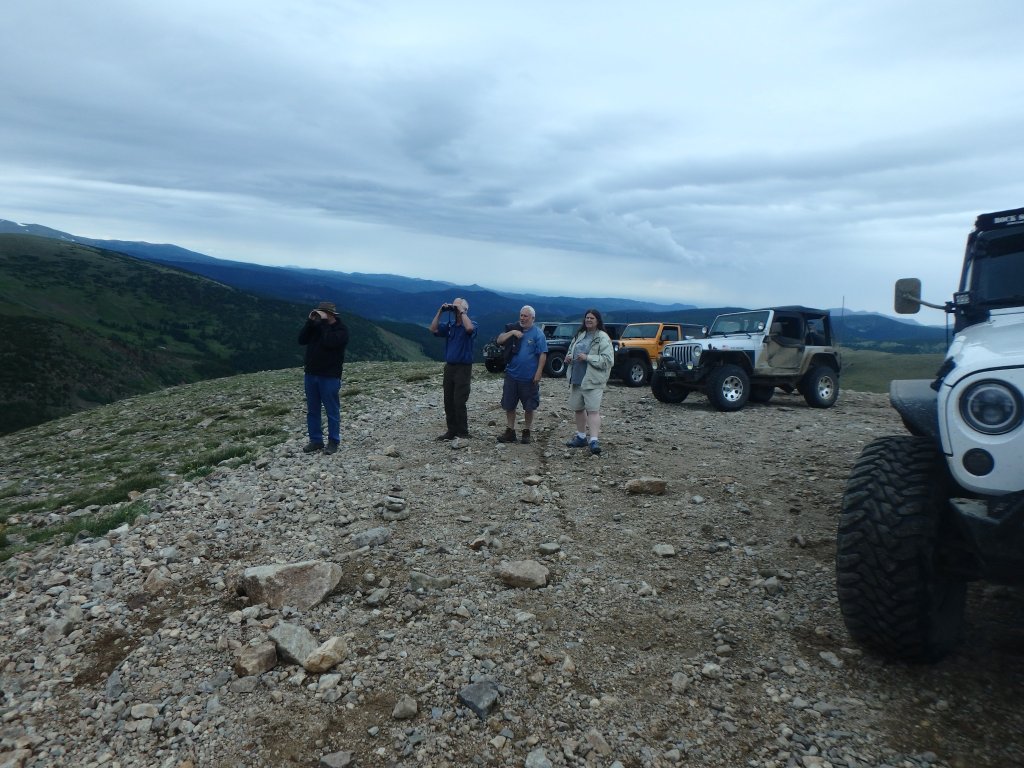
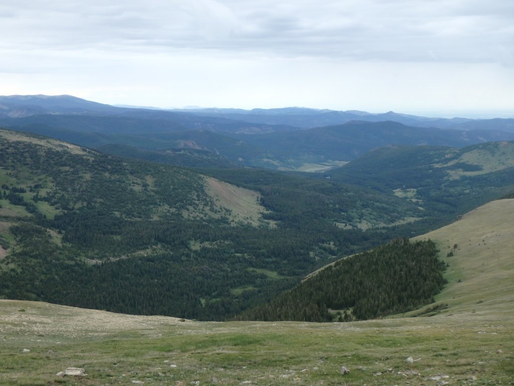
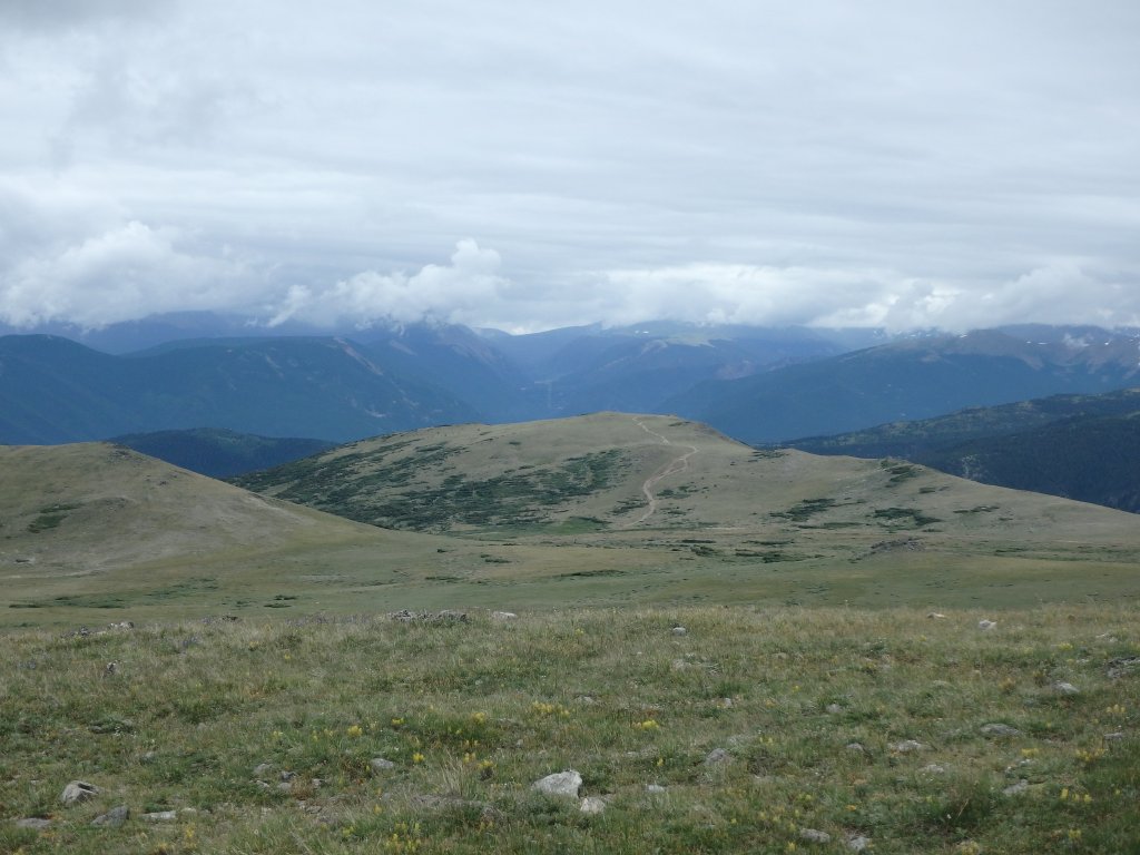
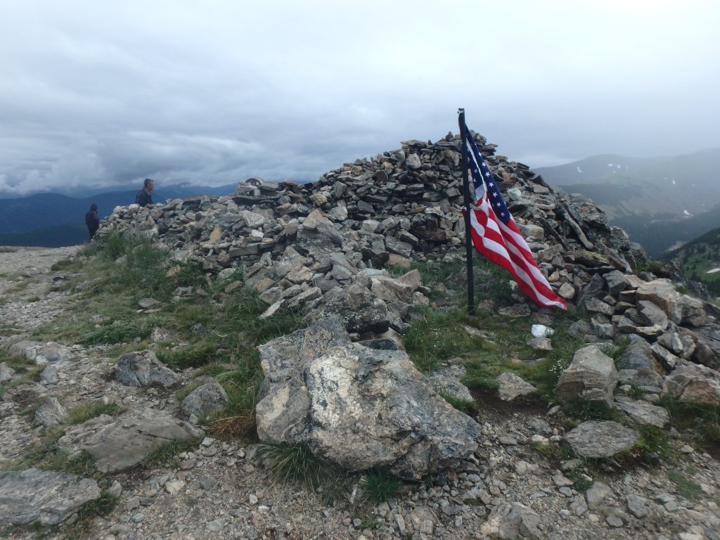
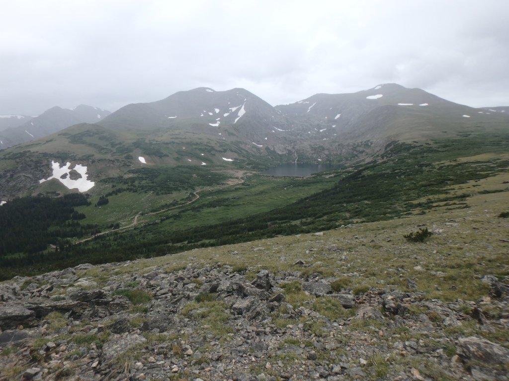
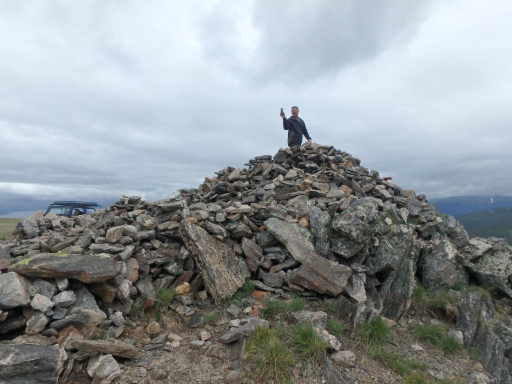
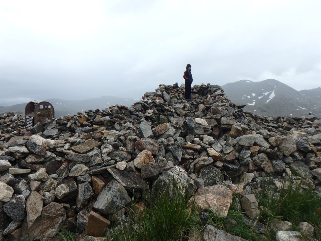
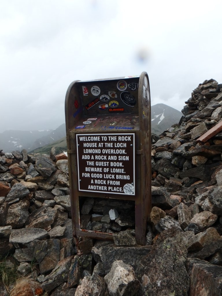
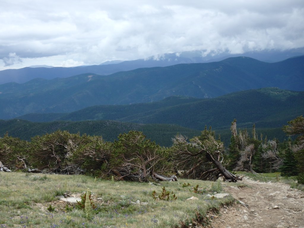
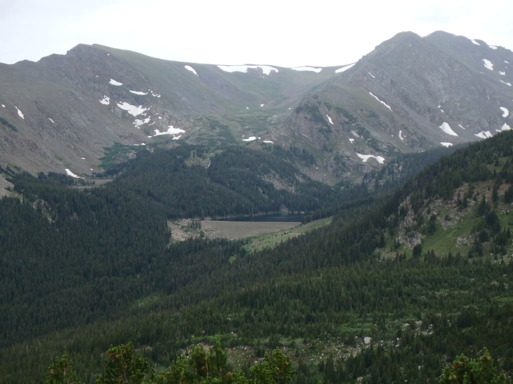
We stopped at the Rock House, of course, and Mike was the only one to remember to bring a rock with him.  There was a new flag at the House, which was a nice touch, along with a new sign on the mailbox.  We saw lots of people at Loch Lomond, but we talked about heading down there anyway.  We also stopped at the next overlook, and the views were amazing.

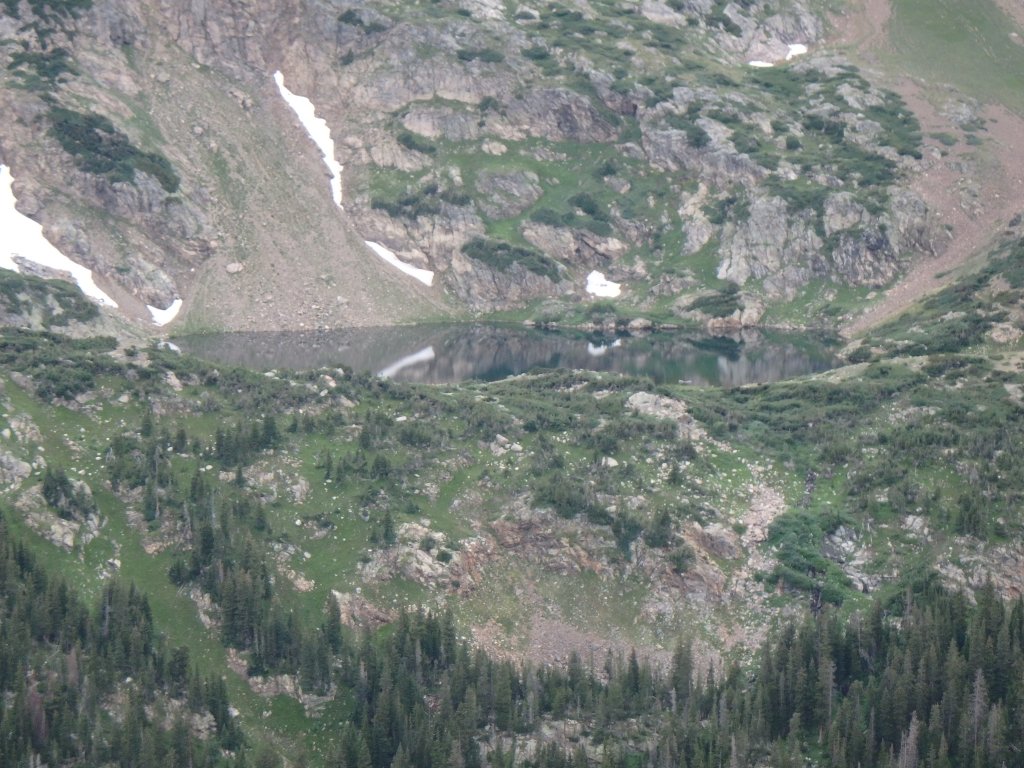
Once we hit the town of Alice, Julie and Tom headed for home while the rest of us went over to Loch Lomond.
P7290157
P7290159
P7290160
P7290161
P7290162
P7290163
P7290164
P7290165
P7290166
P7290167
P7290168
P7290170
P7290171
P7290172
P7290173
P7290174
P7290175
P7290176
P7290177
P7290178
P7290179
P7290180
P7290181
P7290183
P7290185
P7290186
P7290187
P7290189
P7290190
P7290193
P7290194
P7290195
P7290196
P7290197
P7290198
P7290199
P7290200
P7290201
P7290202
P7290203
P7290204
P7290206
P7290207
P7290208
P7290209
P7290210
P7290212
P7290213
P7290214
P7290216
P7290217
P7290218
P7290219
P7290220
P7290221
P7290222
P7290223
P7290224
P7290225
P7290226
P7290227
P7290228
P7290229
P7290230
P7290231
P7290232
P7290234
P7290235
P7290236
P7290237
P7290239
P7290240
P7290241
P7290242
P7290243
P7290244
P7290245
P7290247
P7290248
P7290249
P7290250
P7290252
P7290253
P7290254
P7290255
P7290256
P7290257
P7290258
P7290259
P7290260
P7290261
P7290262
P7290263
P7290264
P7290265
P7290267
P7290268
P7290270
P7290271

Reports from Other Days: 11

Use the arrows or dots to flip through the previews of the other reports for Kingston Peak. Click one of them to read more and see all of the photos from that day.

July 28, 2024

Led by Matt K.
Kingston Peak was the last trail of the day. We started from the Tolland side so we could end up…
»
  • 1
  • 2
  • 3
  • 4
  • 5
  • 6
  • 7
  • 8
  • 9
  • 10
  • 11
Join Us!
If you aren’t a Member or Subscriber, you can’t see all of the content on this site. Get membership information to see why this site is best when you join and log in

Information for Subscribers

When you log in you’ll see more information here:

  • Recent Community Forum posts
  • Recent polls
  • Upcoming Events you can attend
  • Links to online users

© 2000-2026 · TrailDamage.com · Terms and Conditions · About · Contact
Trail information is only accurate on the date posted. Trails may have changed or closed since that date. Use this information for historical purposes only.
Contact the Forest Service or Bureau of Land Management for up-to-date trail information.