Dry St. Vrain
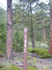
We spotted a new trail for us on the Motor Vehicle Use Map so after we ran Miller Rock we headed around the corner to check it out. We got a little turned around at first but then we found our way to the trailhead. It wasn't very obvious and we wouldn't have found it without the GPS coordinates.
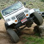
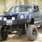
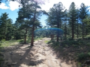
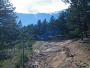
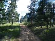
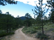
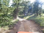
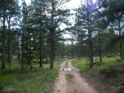
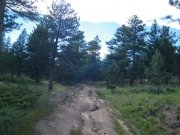
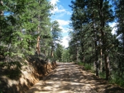
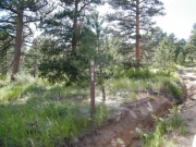
The start of it was really eroded with big ruts in the trail. It made for a fun start but that was the only challenging part. We worked our way up the trail and noted a few really nice, secluded campsites and camping areas.
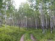
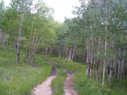
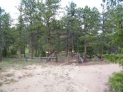
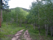
We didn't get too far before our trail ended at a fence and a big gate. We turned to check out another spur and that one led us through aspen trees on an overgrown trail that ended in an open area. The area was really scenic in the aspens, though, so it would be a nice place to camp.
Our last spur ended up taking us through and around big piles of rocks, like smaller versions of Miller Rock. It soon brought us back to intersect with the main trail, though. Then it wasn't long until we were back at the trailhead.
We'd like to see what this trail is like during the winter months. It doesn't have a gate at the entrance so it's probably open year round. It's not a skinny trail or one near cliff edges so it would be fun in the snow. We'll have to come back and check it out later.


