TrailDamage.com

Photos, videos and information about 4x4 trails in Colorado and Utah

  • Trails
    • Colorado
    • Utah
  • Reports
    • Featured Photos
    • Featured Videos
    • Reports Calendar
  • Members
  • Search
  • Trail Damage Winners
  • FAQ
  • Community
  • Upcoming Events
  • Membership
  • Log In
  • Facebook
  • Instagram
  • RSS
  • Twitter
  • YouTube

Dakan Road 060826

August 26, 2006 by Monica

Dakan Road

Trail Run on August 26, 2006
Report and photos by Monica I., Trail Leader
View trail information for Dakan Road

Roger R.
Gray 2021 Jeep Wrangler Rubicon 4xe
Matt F.
Silver 2000 Jeep Wrangler
Ladd G.
Green 2003 Jeep Wrangler Rubicon
Walt S.
Gray 2022 Jeep Wrangler Unlimited Rubicon 392
Julie M.
Green 2012 Jeep Wrangler Unlimited Rubicon
Mike S.
Silver 2004 Jeep Wrangler Rubicon
Gary R.
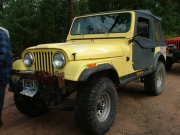
Yellow 1978 Jeep CJ-7
Dave E.
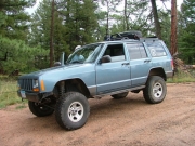
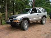
Blue 1999 Jeep Cherokee
Cheryl W.
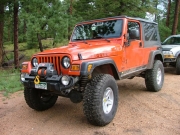
Orange 2006 Jeep Wrangler Unlimited Rubicon
Monica I.
Red 2010 Jeep Wrangler Rubicon

We were planning a marathon day -- to do seven trails in a row. We hadn't been down to the Rampart Range Road area of trails as a group, though a few of us had been there individually over the years. It is a great area because there are many trails all grouped together, and Dakan Road is a fantastic way in.

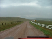
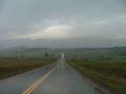
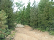
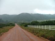
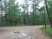
We met at the Conoco station in Castle Rock, and it was cool to see Dave E. back from Minnesota to join us. We gabbed for awhile and then headed one exit south to Wolfensburger Road. It wasn't long before we were on Dakan Road, and it turned from pavement to dirt. It was raining a bit and it wasn't very warm, and we were thinking that the rest of the day would be like this.

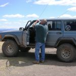
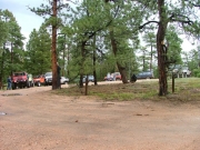
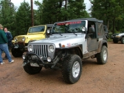
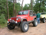
We stopped fairly early in the trail at a wide parking area to air down a bit and disconnect sway bars. Even though the trails weren't supposed to be too tough, we like a smooth ride. The weather had even started clearing up.

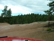
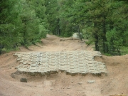
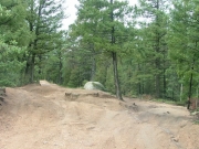
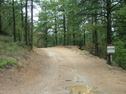
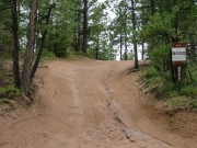
We were glad we had disconnected and aired down when we saw the rough patch. The first part is a strange hill of cement blocks in the sandy dirt. It was probably part of a smooth road at one point, but the sand around it has eroded away a bit. It wasn't too difficult to get over, but the next bit was more challenging.

We flexed and twisted our way through it because everyone took the harder line on the left. It was a nice surprise in the middle of the trail.

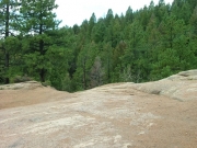
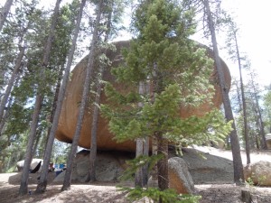
When we came to the big bump of rock we were again surprised -- there was a Volkswagen bus on the other side, coming our way. It couldn't be too difficult if the bus was doing it. We didn't stop to explore the rock because we needed to get out of the way of the VW, so we were off.

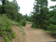
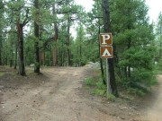
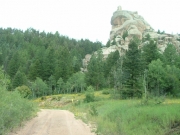
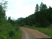
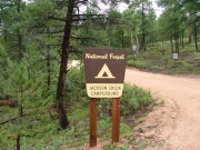
At the crossroads, we decided to take the longer way out Jackson Creek Road. It was scenic and steep in places, but not difficult. There were some cool rock formations at the sides of the road in places, and we enjoyed the scenery.

At the end, we ended up on Rampart Range Road. We headed just a bit south and started Long Hollow Road. Dakan Road was a nice trip and we enjoyed it.

airing_down
around_a_corner
camping_area
cheryl_airing_down
cool_rock_formation
curve_on_jackson_creek_road
dave_airing_down
early_dirt_road
gary_airing_down
jackson_creek_road_rock
jackson_creek_road
julie_airing_down
ladd_airing_down
matt_airing_down
mellow_trail
mike_airing_down
monica_airing_down
no_shooting
north_gate
on_our_way
road_sign
rocky_section_part_1
rocky_section_part_2
roger_airing_down
rough_patch_part_1
rough_patch_part_2
rough_patch_part_3
rough_patch_part_4
sign_at_end_of_jackson_creek_road
starting_up
through_the_trees
uphill
walt_airing_down
wet_road

Reports from Other Days: 3

Use the arrows or dots to flip through the previews of the other reports for Dakan Road. Click one of them to read more and see all of the photos from that day.

June 14, 2014

Led by Monica I.
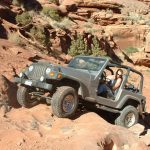
We came off of Hidden Valley Road and planned on turning right to go to Rampart Range Road, but for some unknown reason we turned left instead. We headed down the switchbacks, enjoying the view, and when we got down into the valley we realized our mistake. We needed to…
»
  • 1
  • 2
  • 3
Join Us!
If you aren’t a Member or Subscriber, you can’t see all of the content on this site. Get membership information to see why this site is best when you join and log in

Information for Subscribers

When you log in you’ll see more information here:

  • Recent Community Forum posts
  • Recent polls
  • Upcoming Events you can attend
  • Links to online users

© 2000-2022 · TrailDamage.com · Terms and Conditions · About · Contact
Trail information is only accurate on the date posted. Trails may have changed or closed since that date. Use this information for historical purposes only.
Contact the Forest Service or Bureau of Land Management for up-to-date trail information.
/* ----------------------------------------- */ /* View slug: reports-other-reports-for-same-trail-slider - start */ /* ----------------------------------------- */ /* place the prev/next controls on the sides */ .td-transition-controls .wpv-filter-next-link, .td-transition-controls .wpv-filter-previous-link { border: none; font-size: 300%; position: absolute; top: 70px; } .td-transition-controls .wpv-filter-previous-link { left: 0; } .td-transition-controls .wpv-filter-next-link { right: 0; } /* center the page selector horizonatally */ .td-transition-controls ul.wpv_pagination_dots { text-align: center; margin-top: 10px; } /* center the page selector horizonatally */ .td-transition-controls ul.wpv_pagination_dots li.wpv_pagination_dots_item, .td-transition-controls .wpv_pagination_dots li a { display: inline-block; float: none; } /* remove the default styles */ .td-transition-controls .wpv_pagination_dots li a { text-decoration: none; border-bottom: none; } .td-slider-container { padding: 0 25px; margin-bottom: 20px; position: relative; width:100%; display:table; } .td-slides { position: relative; } .td-slides-image { float:left; display:table-cell; } .td-slides-image img { border:1px solid #c0c0c0; } .td-slides-content { padding:4px 4px 4px 10px; border-top:1px solid #c0c0c0; border-right:1px solid #c0c0c0; border-bottom:1px solid #c0c0c0; display:table-cell; height:227px; overflow:hidden; } .td-slides-content h3 { margin-top:8px; } .td-slides-leader { font-size:smaller; margin-top:4px; } /* ----------------------------------------- */ /* View slug: reports-other-reports-for-same-trail-slider - end */ /* ----------------------------------------- */
/* ----------------------------------------- */ /* Content Template: Template for a Single Report - start */ /* ----------------------------------------- */ .entry-header { display:none; } .entry-content h1 { margin-top:16px; padding-top:0; } h1 a { color:#222; } h1 a:hover { color:#666; } p.entry-meta { font-size:small; } #report-body-spacer { clear:both; width:100%; height:20px; } #addtoany-bar { margin-bottom:2em; text-align:center; } .category-reports .post-info .author, .post-info .date { display: none; } .addthis_recommended_horizontal { text-align:center !important; } /* ----------------------------------------- */ /* Content Template: Template for a Single Report - end */ /* ----------------------------------------- */ /* ----------------------------------------- */ /* Content Template: Loop item in REPORTS Runners - start */ /* ----------------------------------------- */ #runners-container { width:100%; clear:both; } .runner { border:1px solid #c0c0c0; margin:0 6px 6px 0; float:left; width:49%; height:81px; } .runner-image { float: left; } .runner-image img { margin:2px 10px 0 2px; height:75px; width:75px; } .runner-name { text-transform:uppercase; } .runner-name a { color:#222; } .runner-name a:hover { color:#666; } .runner-vehicle { font-size:small; } @media only screen and (max-width: 768px) { .runner { width:100%; } } /* ----------------------------------------- */ /* Content Template: Loop item in REPORTS Runners - end */ /* ----------------------------------------- */