Sheridan Hill

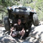
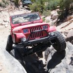
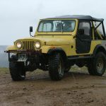

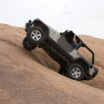
There are quite a few trails around the Yankee Hill trail, and we haven't explored all of them. Today we would add a new trail to our list by checking out Sheridan Hill. We were looking forward to it, because it provided a new way to the Kingston Peak trail.
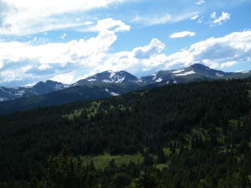
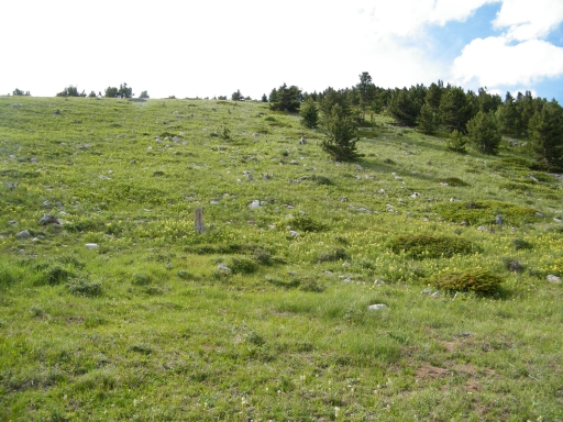
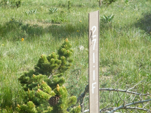
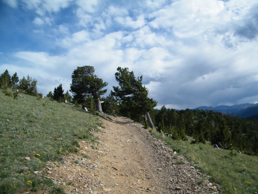
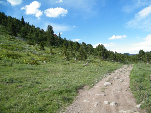
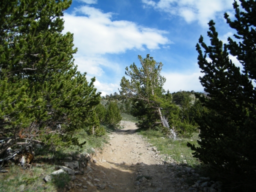
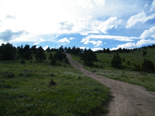
We had done the loop at the top of Cumberland Gulch, and we turned off of that trail when we reached the Sheridan Hill trailhead. The area around the trail was more open than it was on Cumberland Gulch, and it was nice to get out of the trees. The area was very green, with lots of yellow wildflowers on the slopes. We passed between Sheridan Hill and the unnamed hill next to it as we crossed from Clear Creek County into Gilpin County.
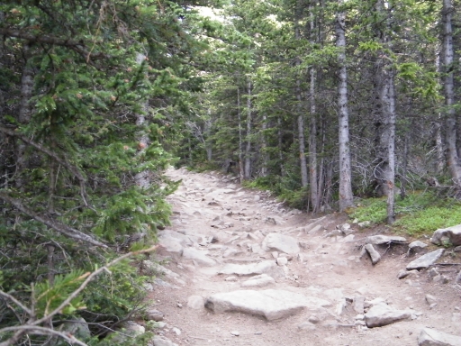
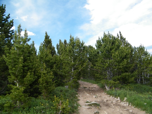
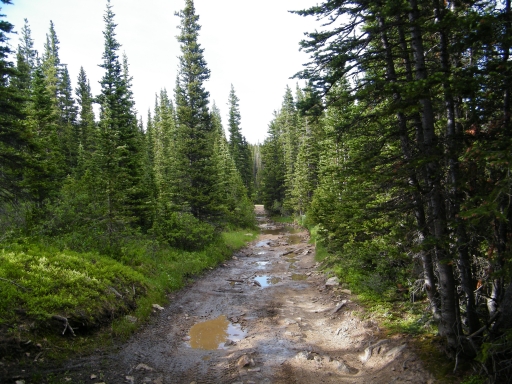
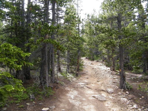
We quickly came to the intersection with the Yankee Hill trail, and we followed it west very briefly until we turned off of it again to head northeast. The trail was very different on this side. We all slowed down to a crawl as we weaved our way between the trees. It would be difficult for a large vehicle to get through here. Branches scraped against our vehicles as we worked our way through it.
We soon came to the intersection with the Miners Gulch trail. We were only on it for a few yards as we made a sharp left turn to continue along the Sheridan Hill trail. It was a tight weave in between the trees again as we left the intersection, but that soon smoothed out to a regular trail.
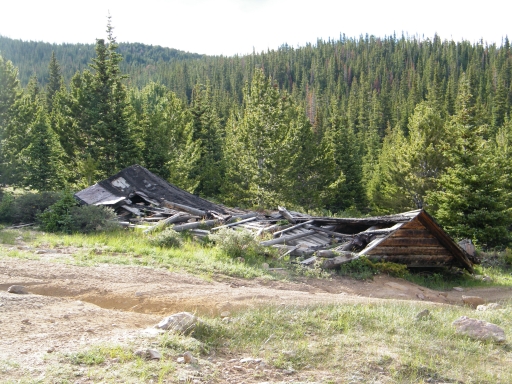
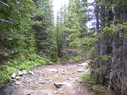
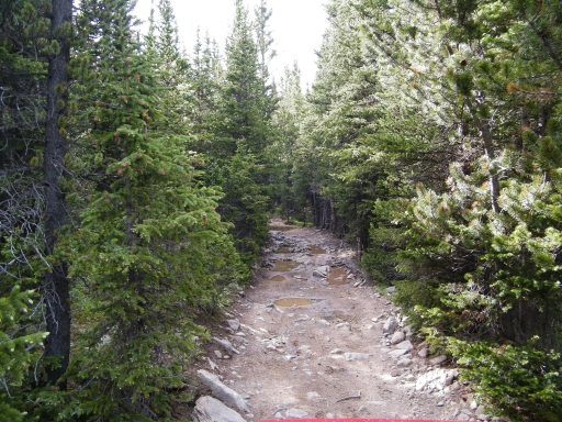
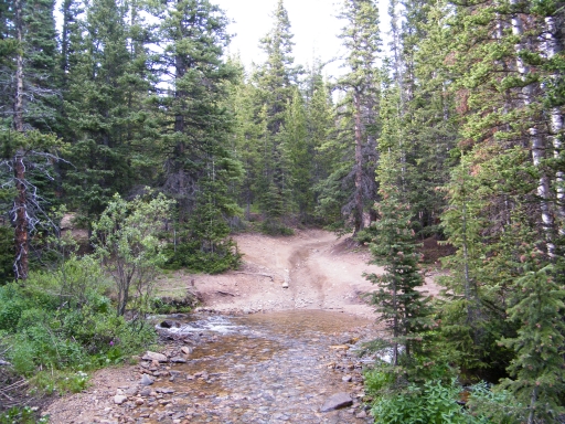
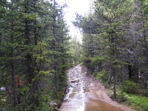
The rest of the trail was pretty cool, and we all enjoyed it. It kept changing as we kept going. It would alternate between rocky sections -- some of them a little challenging -- and watery or muddy sections. At some points the trail even shared its space with the creek bed as we kept along the trail.
The only confusing spot was at the big intersection at Mosquito Creek. We just took the trail options that would keep us going north, and that worked out. It wasn't long before we popped out on the Kingston Peak trail. We were expecting a little snow, but the trail was completely clear.
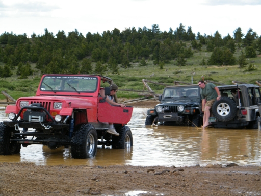
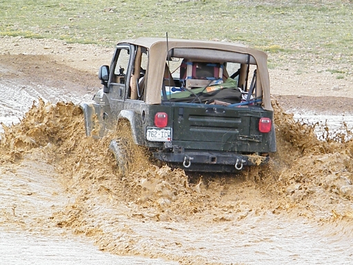
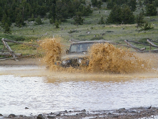
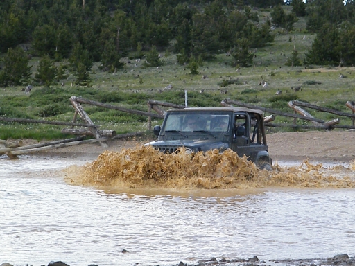
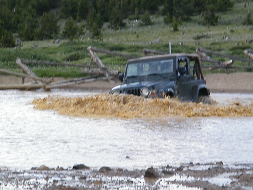
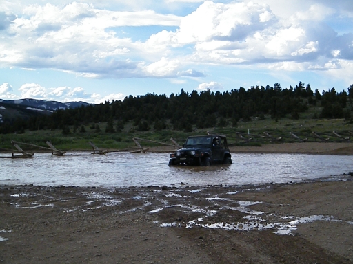
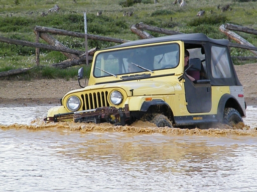
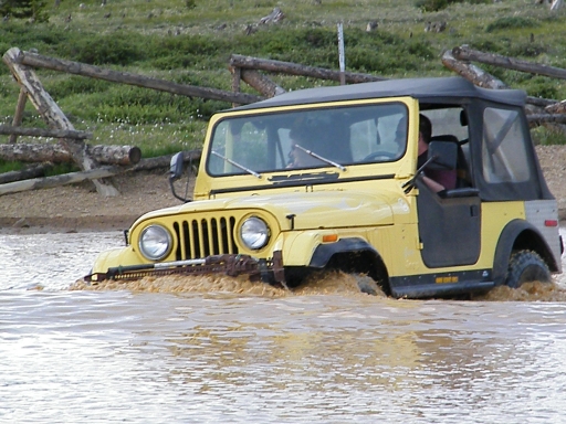
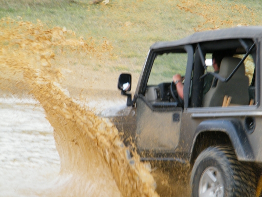
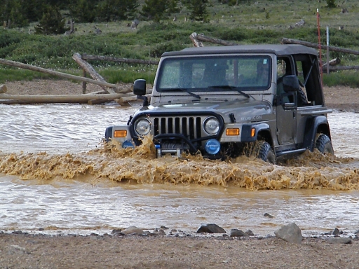
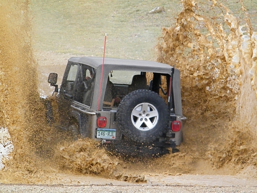
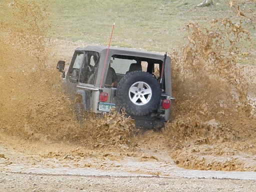
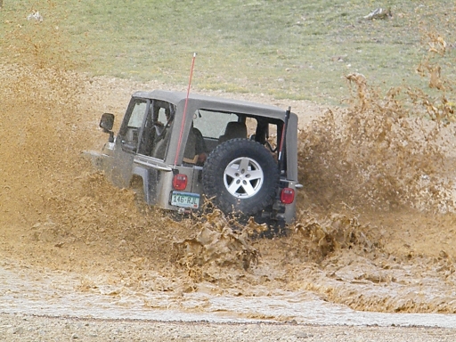
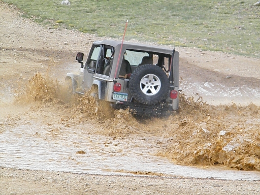
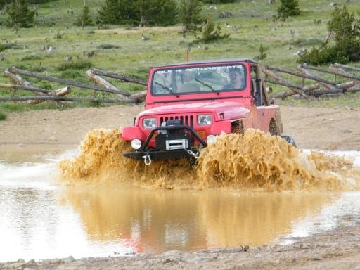
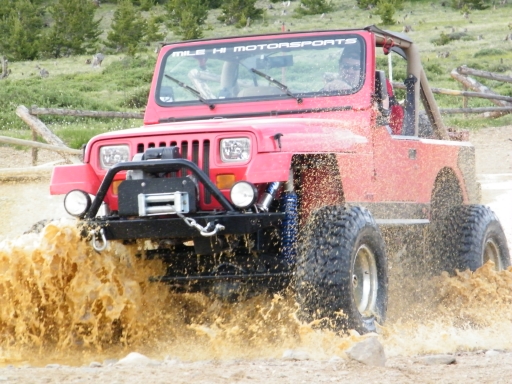
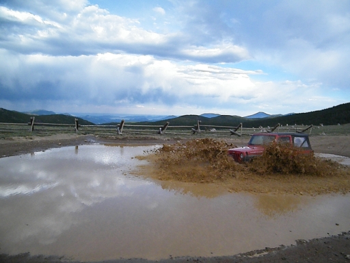
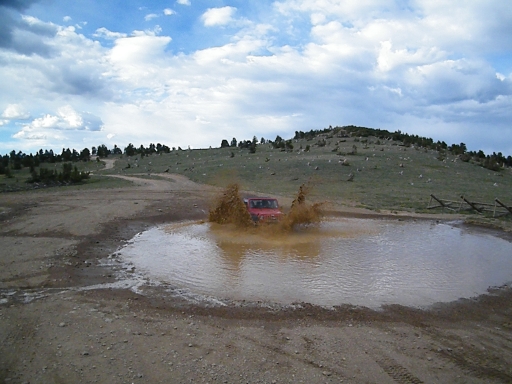
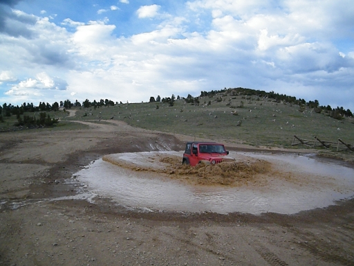
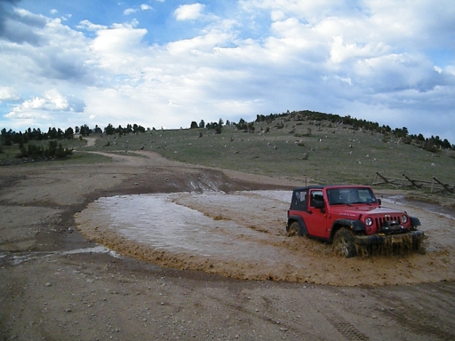
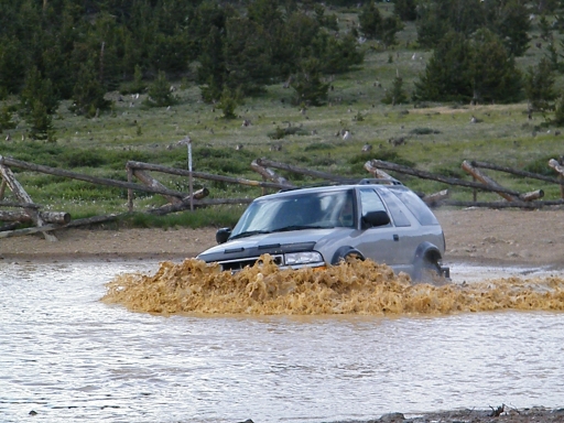
We had to check out the mud puddles, of course. At first, no one seemed very interested in flying through the muddy water, but then people started going through it. It was chilly and a bit windy, and we all stopped for a quick dinner as we watched the others play in the mud.
Mark's Jeep has never liked going through water, and it was definitely complaining. He didn't go through it very quickly, but it still didn't like it. He decided to take it easy.
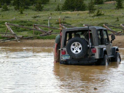
Everyone else had a good, problem-free time in the mud except for Bob. Loretta drove his Jeep quickly through the mud and right in the middle of the biggest puddle it decided that it was done running. Everyone cheered as Bob's Jeep sat dead in the middle of the puddle.
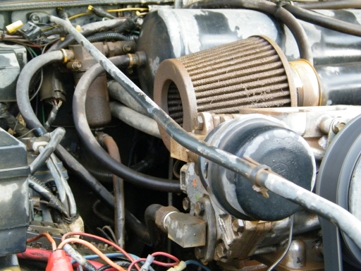
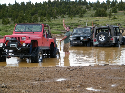
Mark and Jeffrey both went out into the muddy water to hook up a tow strap to Bob's Jeep. They towed him out of the water and opened the hood to see what was going on. Bob was happy to see that the mud that had been on his Jeep was no longer on it, washed away by watery mud that stayed. His engine was a mess but all seemed well.
Bob started the Jeep up and it wasn't too happy about it, but it ran. After a short time, Bob decided it was his turn to drive through the puddles. He took it at a good speed, and barely made it through. The Jeep was cranky, and Bob decided he'd had enough water on the engine for one day.
Everyone was happy and all vehicles were dirty as we turned around and headed back down Sheridan Hill. It seemed to go by much faster. Once we got to the intersection with Miners Gulch we left the Sheridan Hill trail and turned left.
We'll definitely use Sheridan Hill in the future to make a fun loop with Kingston Peak. This was a great "find" for the group.