TrailDamage.com

Photos, videos and information about 4x4 trails in Colorado and Utah

  • Trails
    • Colorado
    • Utah
  • Reports
    • Featured Photos
    • Reports Calendar
  • Members
  • Search
  • FAQ
  • Community
  • Upcoming Events
  • Membership
  • Log In
  • Facebook
  • Instagram
  • RSS
  • Twitter
  • YouTube
  • Trails
    • Colorado
    • Utah
  • Reports
    • Featured Photos
    • Reports Calendar
  • Members
  • Search
  • FAQ
  • Community
  • Upcoming Events
  • Membership
  • Log In

Mammoth Gulch 090815

August 15, 2009 by Monica

Mammoth Gulch

Trail Run on August 15, 2009
Report and photos by Monica I., Trail Leader
View trail information for Mammoth Gulch

Monica I.
Red 2010 Jeep Wrangler Rubicon
Walt S.
Gray 2022 Jeep Wrangler Unlimited Rubicon 392
Mike S.
Silver 2004 Jeep Wrangler Rubicon
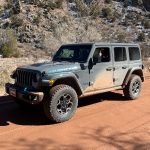
Roger R.
Gray 2021 Jeep Wrangler Rubicon 4xe
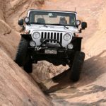
Jim D.
Silver 2003 Jeep Wrangler
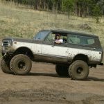
Brian D.
Brown 1978 International Scout II
Matt K.
White 2016 Jeep Wrangler Unlimited Rubicon
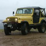
Gary R.
Yellow 1978 Jeep CJ-7

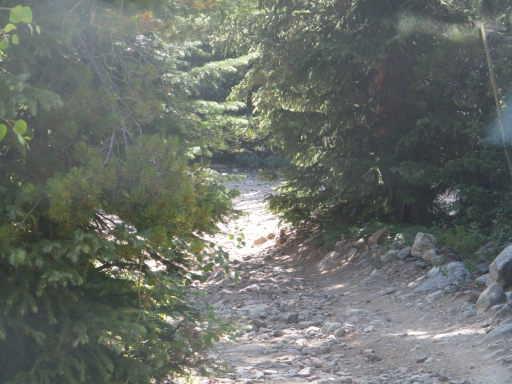
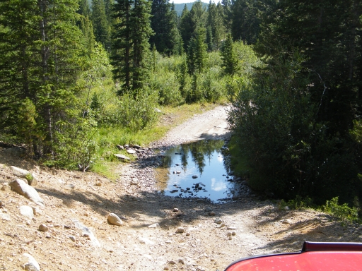
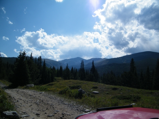
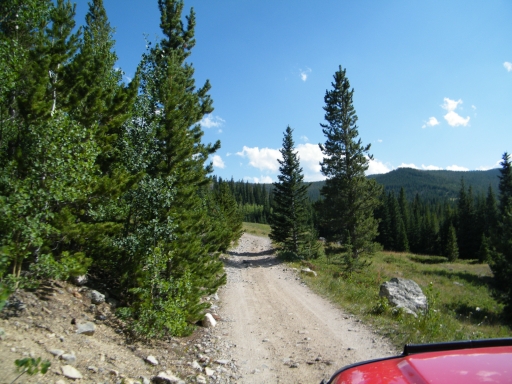
It's hard to believe that Mammoth Gulch hasn't been on TrailDamage.com until now. We've all been in the area so many times, but we never took the time to really document the trail. It was a short trip, and most of it was worth it.

There were people camping in almost all available spots. We joked that some of the sites probably had more people in them than the town of Tolland. It was really busy.

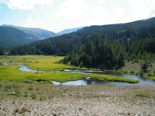
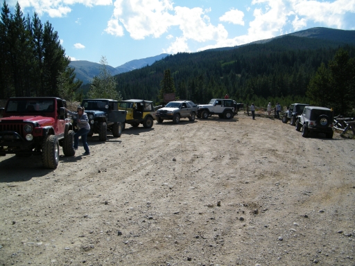
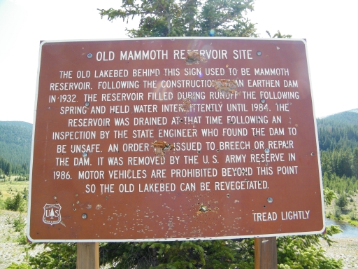
But even with all of the activity it wasn't long before we were at the site of the drained reservoir. Jim told us a story of putting out a camp fire that they once found still blazing, and Walt told us of how the trail used to go around the reservoir when it was still there. We hung out at the parking area for a bit, enjoying the view and the nice weather.

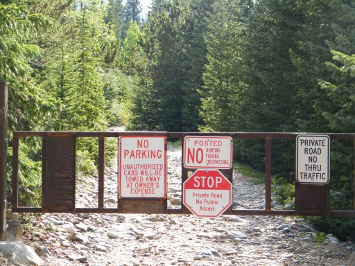
It wasn't long before we were off again, though, headed for the other spur. Mike remembered going to the Andrew Lode Mine in 2004, and we made our way there. Unfortunately, we found a gate and no access to the mine anymore.

All but four of us found a way to turn around before getting to the gate, but the four of us in front had to turn around there. It was difficult, like one of those puzzles where you have to move all of the pieces to get one piece out. We definitely wouldn't end up there again, at least not with so many vehicles.

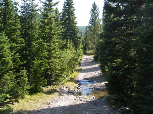
With no real scenery or challenges, that fork of the trail really wasn't worth it unless we were looking for camp spots. It was a bummer to not be able to see the mine. But it meant that we were done with the trail pretty quickly so we were soon on to the next trail, Kingston Peak.
big_view
blue_sky
drained_reservoir
forest_service_sign
gate
more_water
parked_at_the_reservoir
puddle_in_the_trees
reservoir_sign
start_of_the_trail
to_the_reservoir
water_crossing

Reports from Other Days: 3

Use the arrows or dots to flip through the previews of the other reports for Mammoth Gulch. Click one of them to read more and see all of the photos from that day.
July 28, 2024

Led by Matt K.
Mammoth Gulch was the second trail for the day, and we did it right after Jenny Creek. Mammoth Gulch is…
»
  • 1
  • 2
  • 3
Join Us!
If you aren’t a Member or Subscriber, you can’t see all of the content on this site. Get membership information to see why this site is best when you join and log in

Information for Subscribers

When you log in you’ll see more information here:

  • Recent Community Forum posts
  • Recent polls
  • Upcoming Events you can attend
  • Links to online users

© 2000-2026 · TrailDamage.com · Terms and Conditions · About · Contact
Trail information is only accurate on the date posted. Trails may have changed or closed since that date. Use this information for historical purposes only.
Contact the Forest Service or Bureau of Land Management for up-to-date trail information.