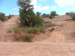
Dome Plateau

We were running the trail backwards because we were on our way into Moab. We had left Denver early and we got to the trailhead at the corral off Highway 128 at 11:30 AM. We quickly aired down and disconnected, anticipating the first trail for our spring 2008 visit.
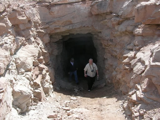
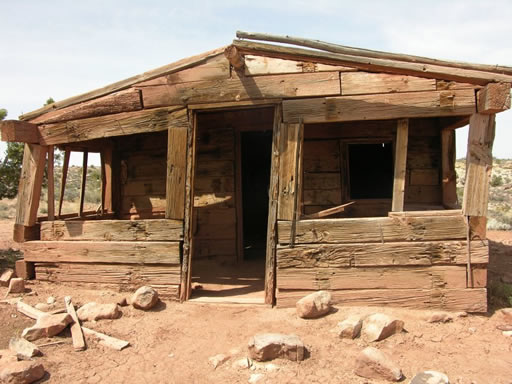
Route finding was very easy since we had the GPS track from the previous club run. The first stretch was an easy one and we were soon at the old mining camp made from railroad ties. We had our lunch there and did a little exploring, including the abandoned mine below the cabins.
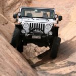
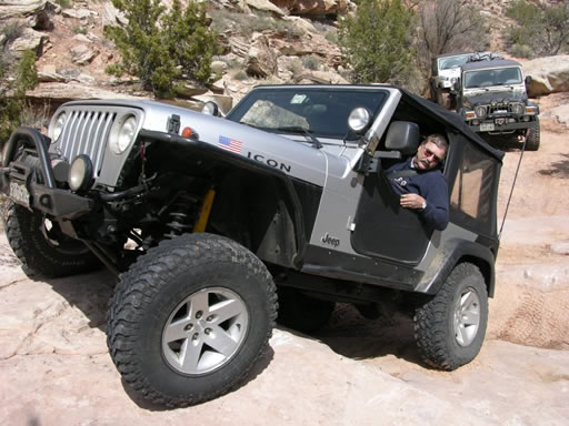
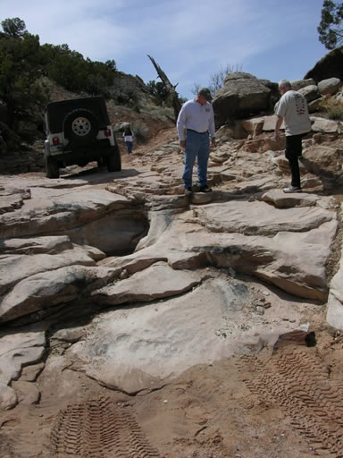
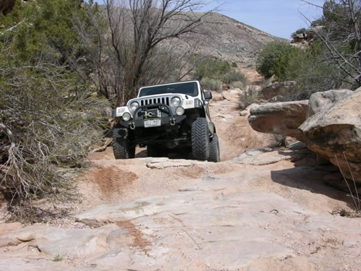
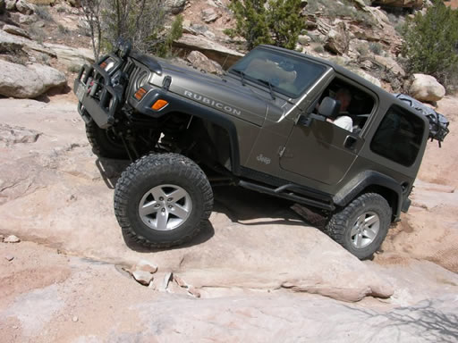
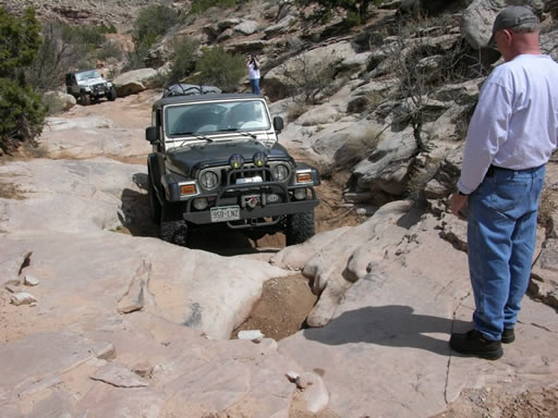
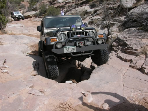
After lunch, we backtracked to the optional, more difficult route up Dome Wash. We had gone down the wash on the last trip and wanted to try it going up. With careful spotting and tire placement, we each straddled the pothole at the main obstacle and we were able to climb the rocks without incident.
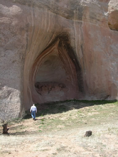
After completing the wash and after a bit of searching for the right branch of the trail, we continued on to Cave Springs. We did a bit of exploring and talked a bit with another group running the trail in the opposite direction. From Cave Springs, we followed the trail to the overlook.
We all had a good time at the overlook, but we were soon anxious to move on, knowing we had many miles to go before we were off the trail. We followed the GPS track back through the little-used trail we had followed last year. Other than a fresh set of ATV tracks, there were no signs of much traffic of any kind on that part of the trail since we last ran it. A dead tree had fallen into the trail at one spot, but with a little effort we removed some of the top limbs and we were able to squeeze past and continue the trail.
By the end of the trail, we were all more than a little saddle-sore, having been driving for about 10 hours. One disadvantage of running the trail backwards is that the final couple miles of washboard, rocky surfaces made us all welcome the end of the trail and smooth pavement.
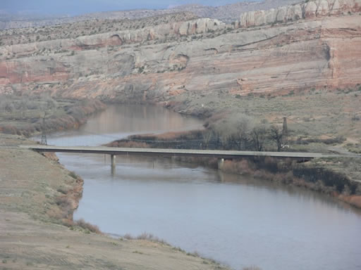
We exited the trail at the normal starting point by the Dewey Bridge and drove over to the bridge parking area to air up. The wooden bridge had just been destroyed two days earlier in a brush fire started by a young camper playing with matches. It was sad to see only the skeleton of the bridge remaining, and we all hoped that it will be restored someday. We aired up and headed into Moab.
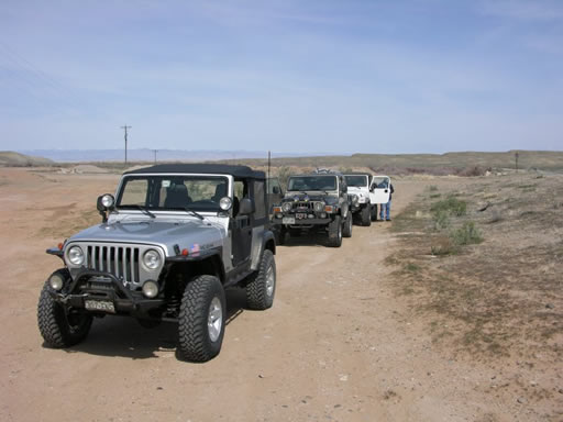












Reports from Other Days: 3
Use the arrows or dots to flip through the previews of the other reports for Dome Plateau. Click one of them to read more and see all of the photos from that day.