TrailDamage.com

Photos, videos and information about 4x4 trails in Colorado and Utah

  • Trails
    • Colorado
    • Utah
  • Reports
    • Featured Photos
    • Featured Videos
    • Reports Calendar
  • Members
  • Search
  • Trail Damage Winners
  • FAQ
  • Community
  • Upcoming Events
  • Membership
  • Log In
  • Facebook
  • Instagram
  • RSS
  • Twitter
  • YouTube

Thompson Canyon 120518

May 18, 2012 by Monica

Thompson Canyon

Trail Run on May 18, 2012
Report and photos by Monica I., Trail Leader
View trail information for Thompson Canyon

Walt S.
Gray 2022 Jeep Wrangler Unlimited Rubicon 392
Monica I.
Red 2010 Jeep Wrangler Rubicon
Mike S.
Silver 2004 Jeep Wrangler Rubicon
Eric S.
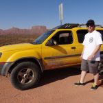
Yellow 2004 Nissan Xterra
Matt K.
White 2016 Jeep Wrangler Unlimited Rubicon
Julie M.
Green 2012 Jeep Wrangler Unlimited Rubicon

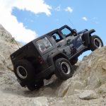
We ran Onion Creek and killed some time on Rose Garden Hill, and then we were off to do Thompson Canyon. It was a new trail for the group so we weren't too upset that Rose Garden Hill was a bust. We like new trails!

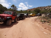
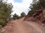
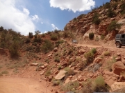
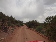
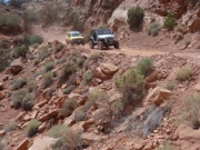
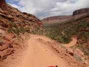
It was easy to find, right there at the end of Onion Creek. It was easy to start, but it wasn't long until the wide road closed in and we were going down steep switchbacks. We were glad the trail was dry. The switchbacks weren't too bad, and no one had any issues.

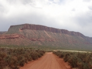
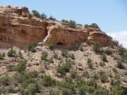
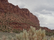
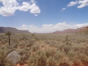
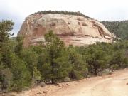
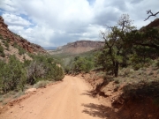
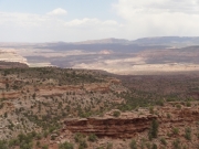
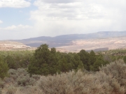
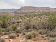
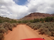
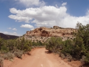
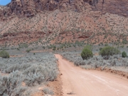
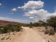
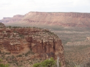
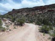
Route finding was easy as we worked our way around the hill. The dirt changed colors a few times, from red to white and back again. It was very scenic.

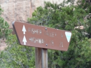
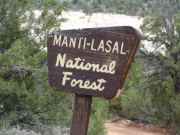
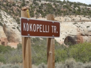
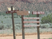
It didn't take long to get to the end of the trail where there were a few signs pointing the way. It was also the Kokopelli Trail, and we saw a few people on bicycles along the way. It looked like a lot of work in the hot sun. We'll stick with our vehicles. We turned left at the end of the trail to explore Polar Mesa, yet another new trail.

bluff_near_the_start
break_time
brush
cave
climbing_curve
clouds
desert_view
dome
down_the_switchbacks
easy_track
forest_service_sign
layers
long_views
menacing_clouds
mesa
mike_and_eric
mike_and_walt
puffy_clouds
sign_near_the_end_1
sign_near_the_end_2
sign_near_the_end_3
slickrock
start_of_the_trail
trail_ahead
trailhead_signs
two_mesas
wavy
white_dirt
Join Us!
If you aren’t a Member or Subscriber, you can’t see all of the content on this site. Get membership information to see why this site is best when you join and log in

Information for Subscribers

When you log in you’ll see more information here:

  • Recent Community Forum posts
  • Recent polls
  • Upcoming Events you can attend
  • Links to online users

© 2000-2022 · TrailDamage.com · Terms and Conditions · About · Contact
Trail information is only accurate on the date posted. Trails may have changed or closed since that date. Use this information for historical purposes only.
Contact the Forest Service or Bureau of Land Management for up-to-date trail information.

/* ----------------------------------------- */ /* View slug: reports-other-reports-for-same-trail-slider - start */ /* ----------------------------------------- */ /* place the prev/next controls on the sides */ .td-transition-controls .wpv-filter-next-link, .td-transition-controls .wpv-filter-previous-link { border: none; font-size: 300%; position: absolute; top: 70px; } .td-transition-controls .wpv-filter-previous-link { left: 0; } .td-transition-controls .wpv-filter-next-link { right: 0; } /* center the page selector horizonatally */ .td-transition-controls ul.wpv_pagination_dots { text-align: center; margin-top: 10px; } /* center the page selector horizonatally */ .td-transition-controls ul.wpv_pagination_dots li.wpv_pagination_dots_item, .td-transition-controls .wpv_pagination_dots li a { display: inline-block; float: none; } /* remove the default styles */ .td-transition-controls .wpv_pagination_dots li a { text-decoration: none; border-bottom: none; } .td-slider-container { padding: 0 25px; margin-bottom: 20px; position: relative; width:100%; display:table; } .td-slides { position: relative; } .td-slides-image { float:left; display:table-cell; } .td-slides-image img { border:1px solid #c0c0c0; } .td-slides-content { padding:4px 4px 4px 10px; border-top:1px solid #c0c0c0; border-right:1px solid #c0c0c0; border-bottom:1px solid #c0c0c0; display:table-cell; height:227px; overflow:hidden; } .td-slides-content h3 { margin-top:8px; } .td-slides-leader { font-size:smaller; margin-top:4px; } /* ----------------------------------------- */ /* View slug: reports-other-reports-for-same-trail-slider - end */ /* ----------------------------------------- */
/* ----------------------------------------- */ /* Content Template: Template for a Single Report - start */ /* ----------------------------------------- */ .entry-header { display:none; } .entry-content h1 { margin-top:16px; padding-top:0; } h1 a { color:#222; } h1 a:hover { color:#666; } p.entry-meta { font-size:small; } #report-body-spacer { clear:both; width:100%; height:20px; } #addtoany-bar { margin-bottom:2em; text-align:center; } .category-reports .post-info .author, .post-info .date { display: none; } .addthis_recommended_horizontal { text-align:center !important; } /* ----------------------------------------- */ /* Content Template: Template for a Single Report - end */ /* ----------------------------------------- */ /* ----------------------------------------- */ /* Content Template: Loop item in REPORTS Runners - start */ /* ----------------------------------------- */ #runners-container { width:100%; clear:both; } .runner { border:1px solid #c0c0c0; margin:0 6px 6px 0; float:left; width:49%; height:81px; } .runner-image { float: left; } .runner-image img { margin:2px 10px 0 2px; height:75px; width:75px; } .runner-name { text-transform:uppercase; } .runner-name a { color:#222; } .runner-name a:hover { color:#666; } .runner-vehicle { font-size:small; } @media only screen and (max-width: 768px) { .runner { width:100%; } } /* ----------------------------------------- */ /* Content Template: Loop item in REPORTS Runners - end */ /* ----------------------------------------- */