



TrailDamage.com

Photos, videos and information about 4x4 trails in Colorado and Utah

  • Trails
    • Colorado
    • Utah
  • Reports
    • Featured Photos
    • Reports Calendar
  • Members
  • Search
  • FAQ
  • Community
  • Upcoming Events
  • Membership
  • Log In
  • Facebook
  • Instagram
  • RSS
  • Twitter
  • YouTube
  • Trails
    • Colorado
    • Utah
  • Reports
    • Featured Photos
    • Reports Calendar
  • Members
  • Search
  • FAQ
  • Community
  • Upcoming Events
  • Membership
  • Log In

South Spring Gulch 150704

July 4, 2015 by Monica

South Spring Gulch

Trail Run on July 4, 2015
Report and photos by Monica I., Trail Leader
View trail information for South Spring Gulch

Frank N.
White 2010 Jeep Wrangler Unlimited Rubicon
AJ H.
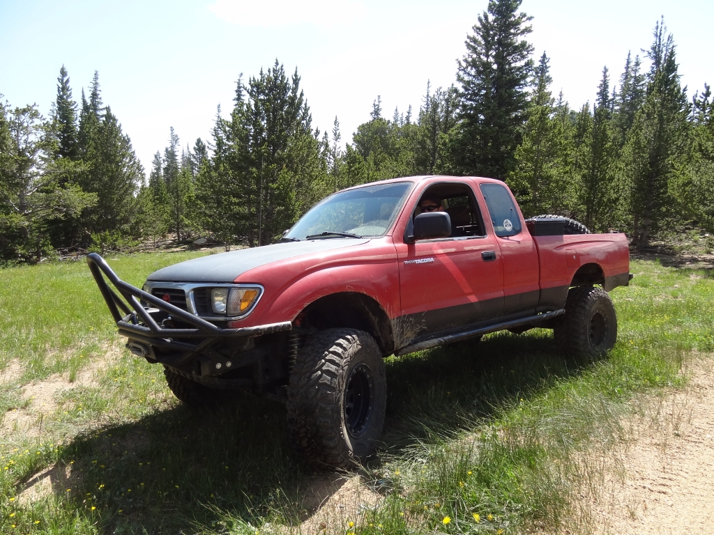
Red 1995 Toyota Tacoma
Gary R.
Yellow 1978 Jeep CJ-7
Nate T.
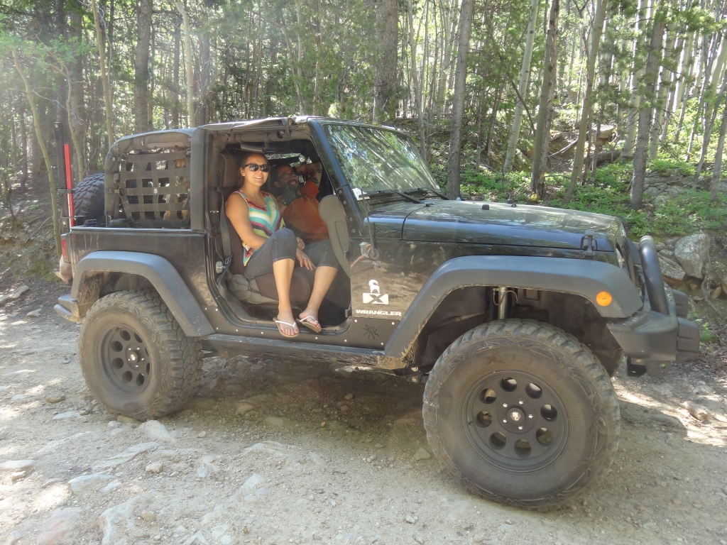
Black 2008 Jeep Wrangler
Ben P.
Green 2012 Jeep Wrangler Unlimited Rubicon
Bill S.
Yellow 2020 Jeep Wrangler Rubicon
Matt K.
White 2016 Jeep Wrangler Unlimited Rubicon
Mike S.
Silver 2004 Jeep Wrangler Rubicon
Dominik T.
Yellow 2007 Toyota FJ Cruiser
Monica I.
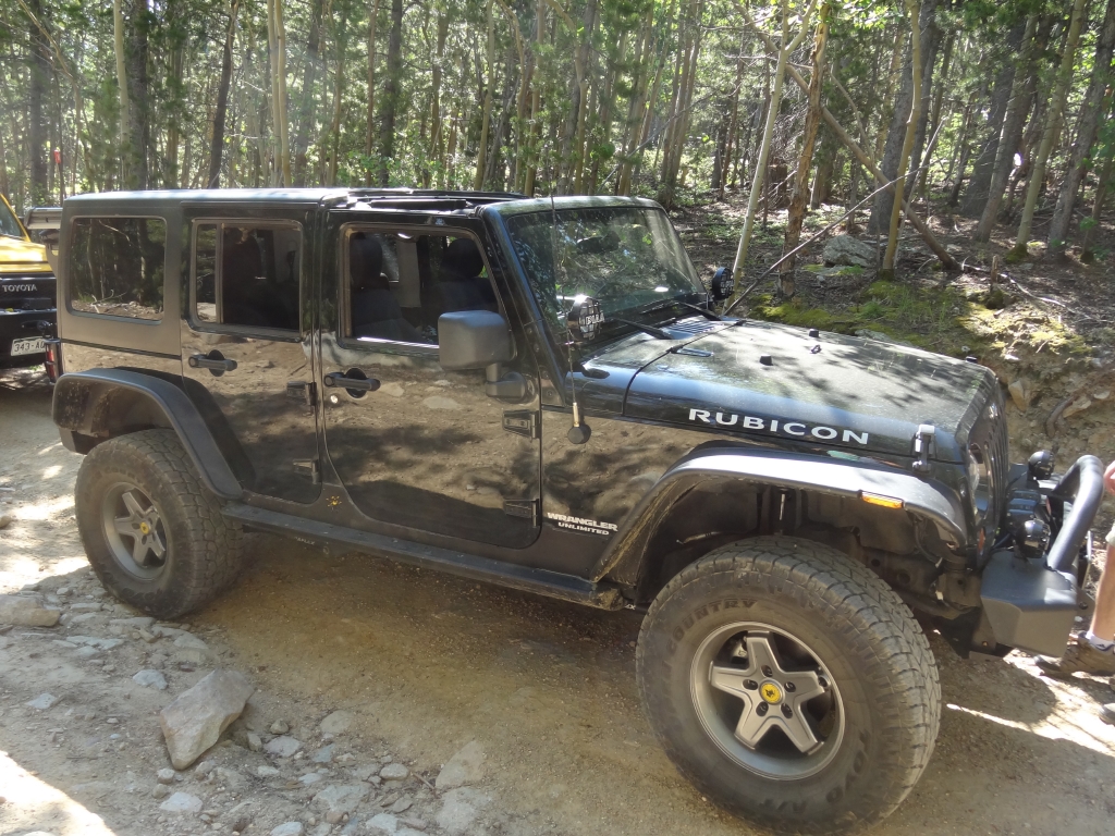
Red 2010 Jeep Wrangler Rubicon
Walt S.
Gray 2022 Jeep Wrangler Unlimited Rubicon 392

When we do Spring Creek, Cascade Creek, or Saxon Mountain we always go out via Ute Creek Road. It's the quickest way out, so it's a logical choice. We knew there were two other ways out to the pavement just east of Spring Creek and the other trails, so we planned on mapping them before the day was over.

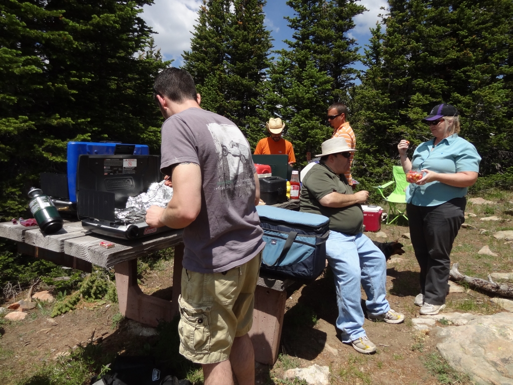
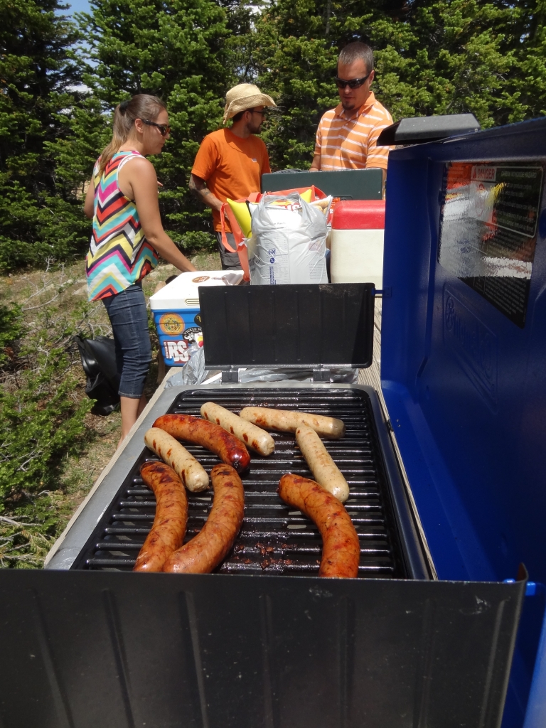
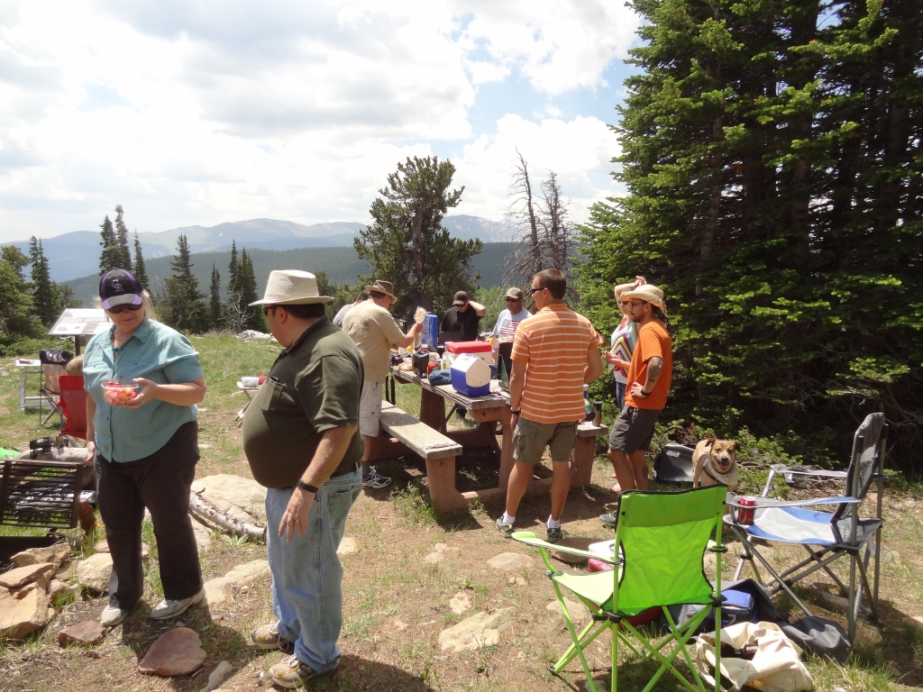
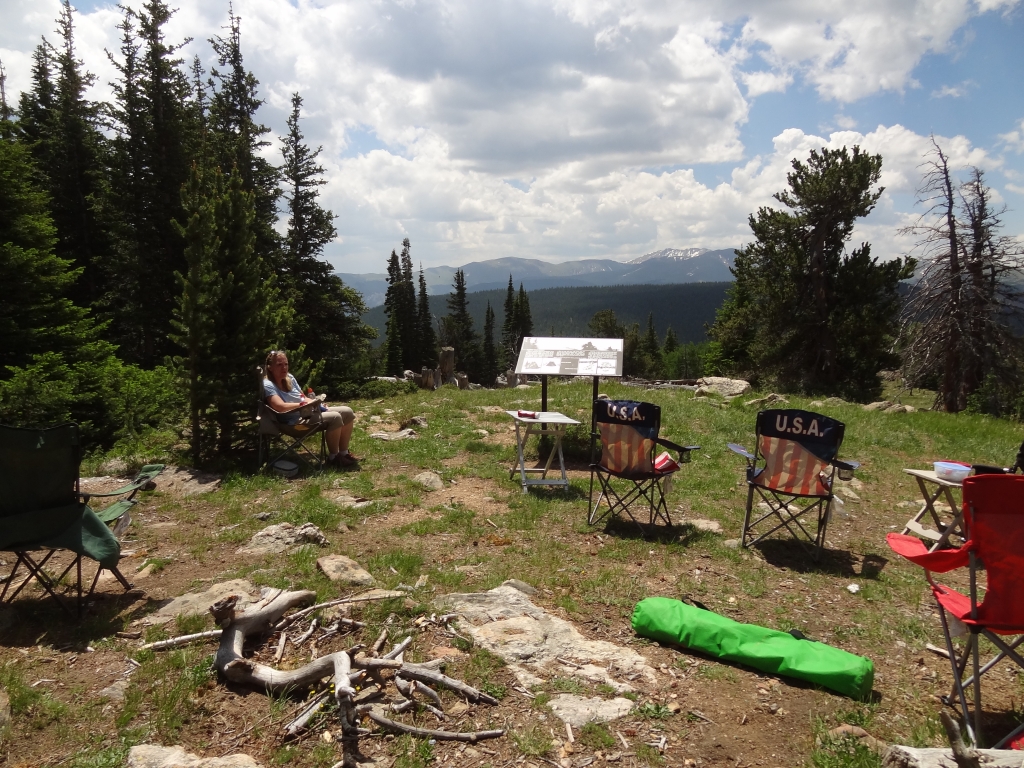
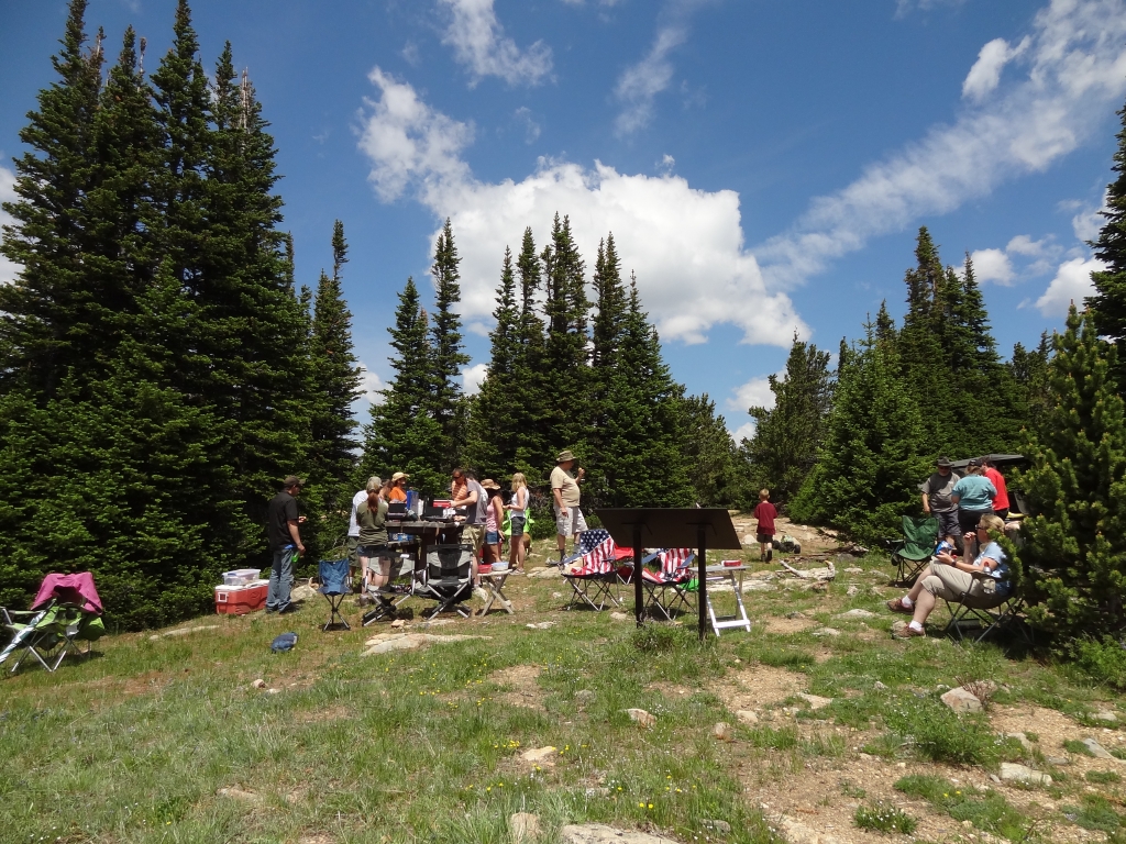
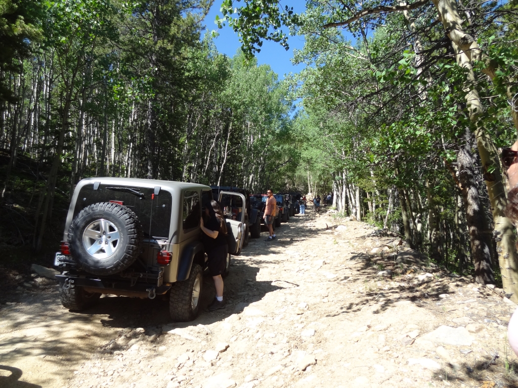
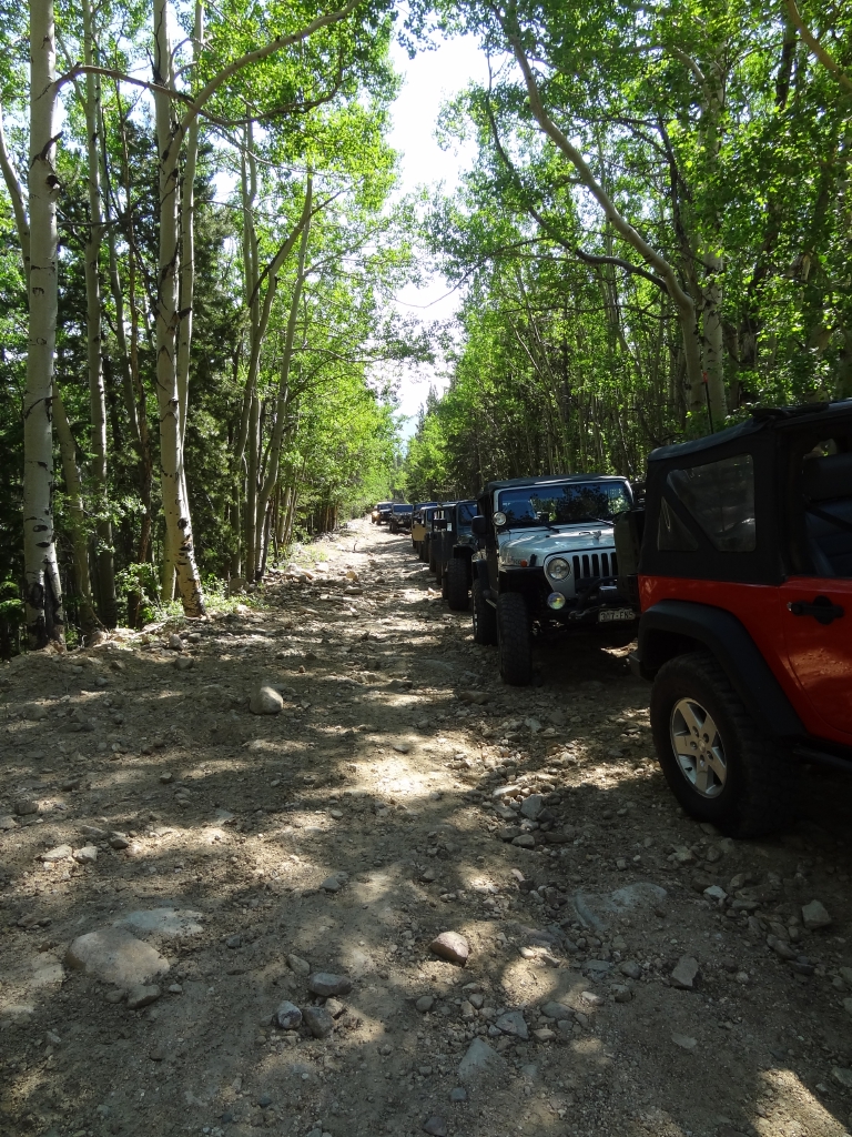
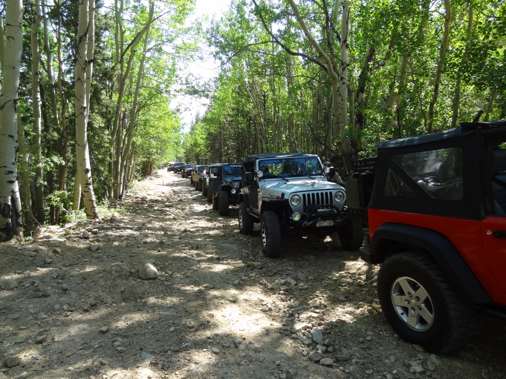
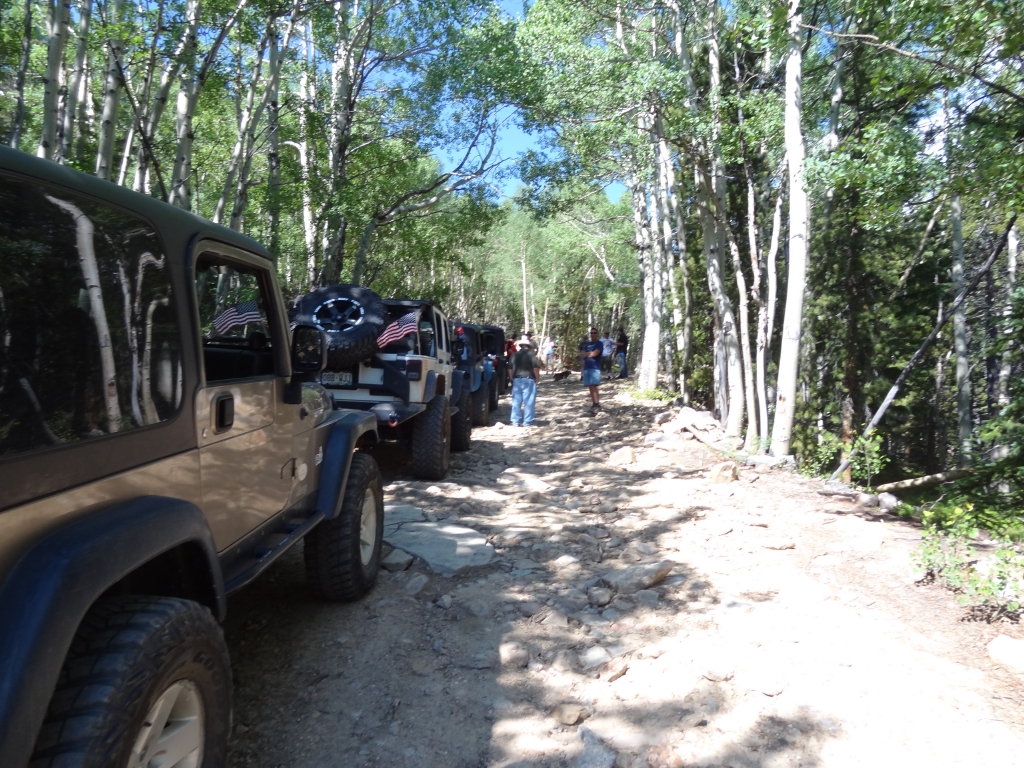
It was our annual 4th of July BBQ, too, so we had plans to stop and grill things at some point. If the timing was right, we knew the top of Saxon Mountain had picnic tables and nice views. Our big group of eleven vehicles was taking up a lot of space at the McDonald's in Idaho Springs, so we left for the trail as soon as everyone was there. Somehow, we managed to get everyone through town and to the trailhead without losing anyone.

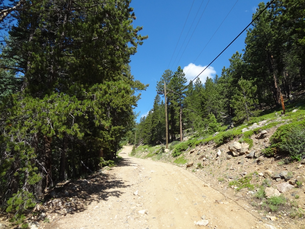
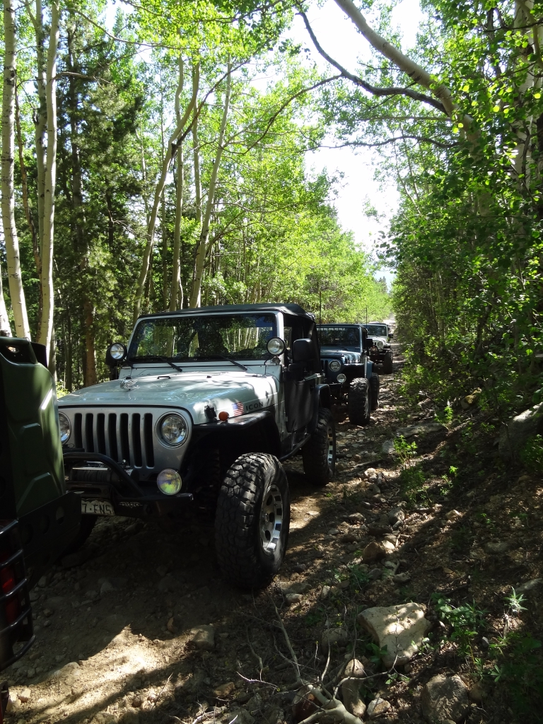
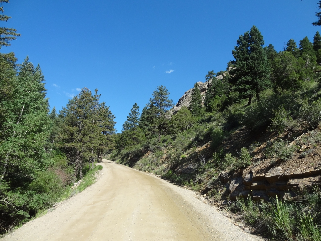
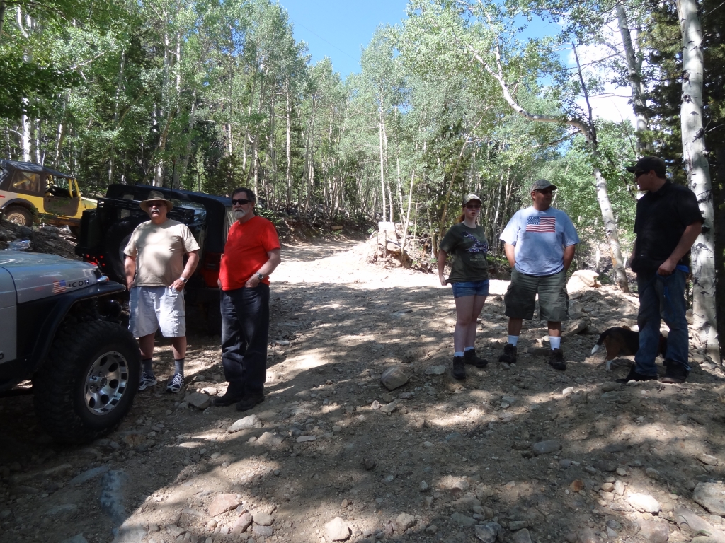
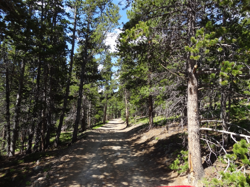
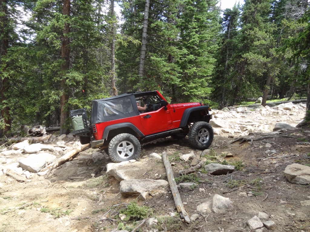
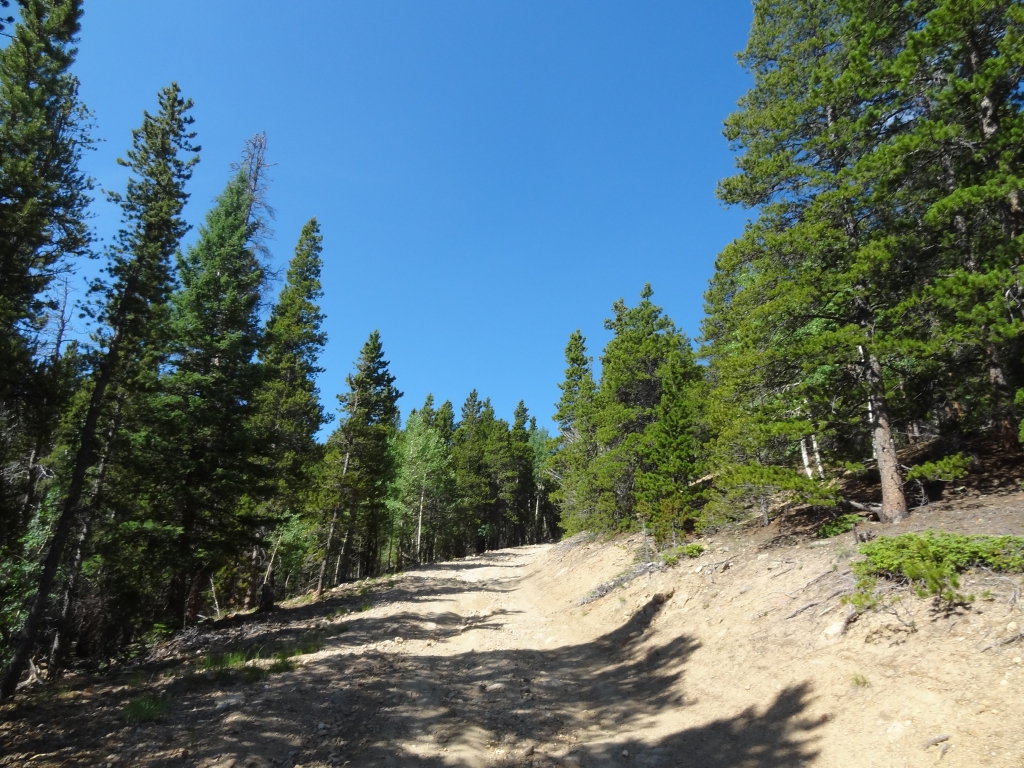
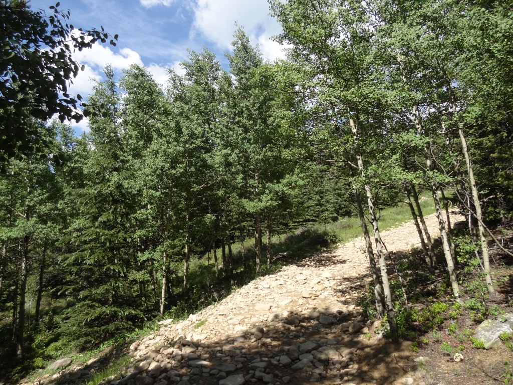
The trail was really easy and maintained for the residences, though it was steep. It was a constant climb. Ben's Jeep has been cranky when it comes to hills at any speed, so it took some effort to figure out where it was happiest. Monica's "hot oil" light came on, so we all pulled over for a break in the shade of some trees. It was nice to get out and chat.

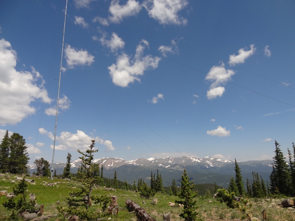
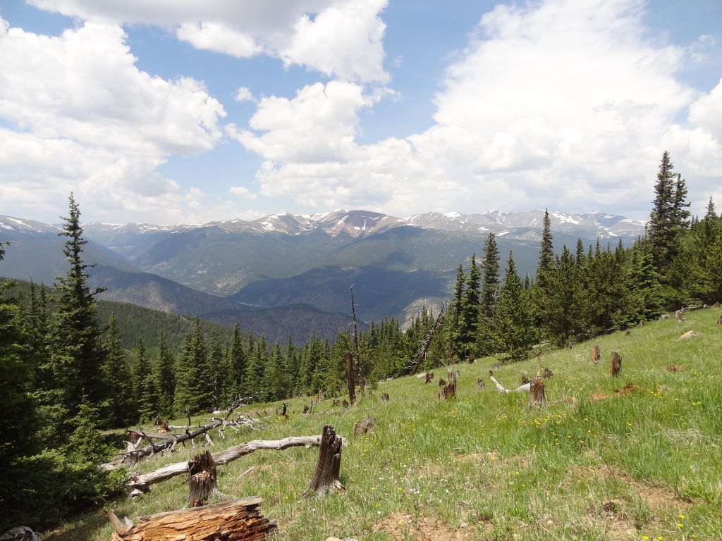
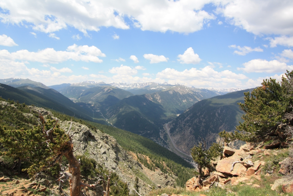
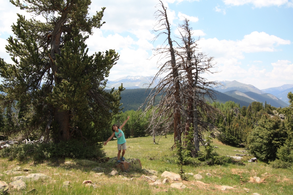
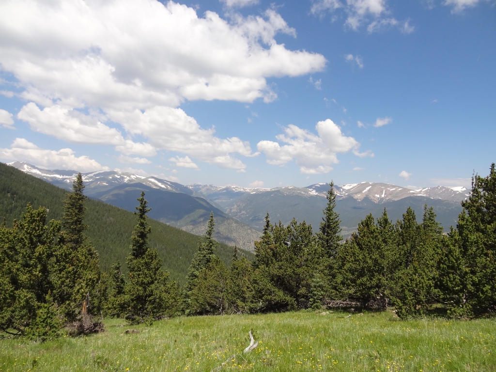
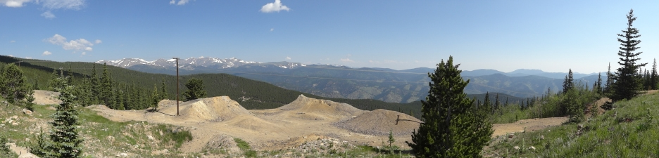
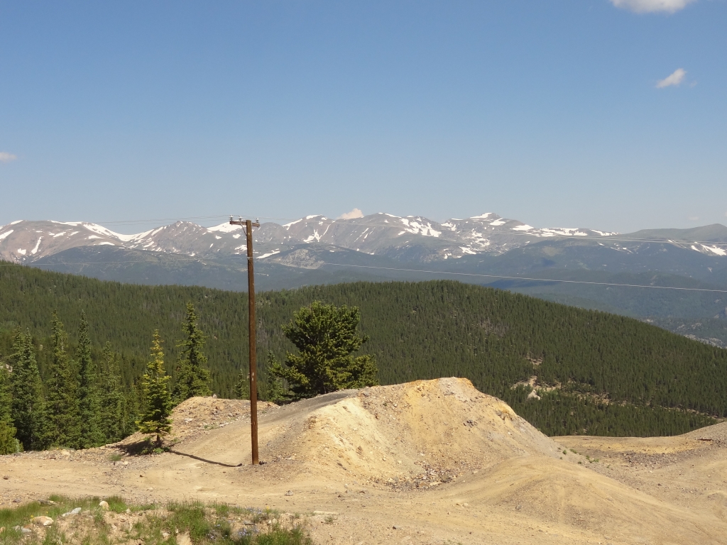
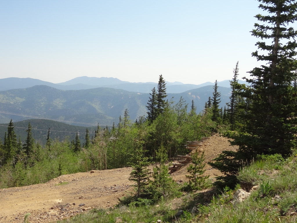
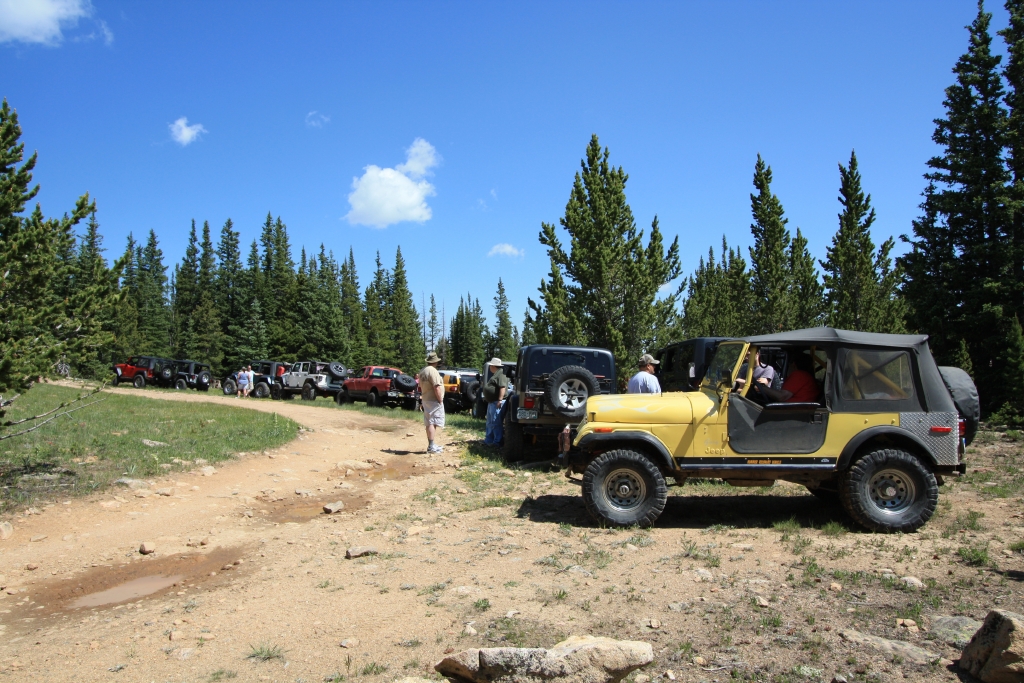
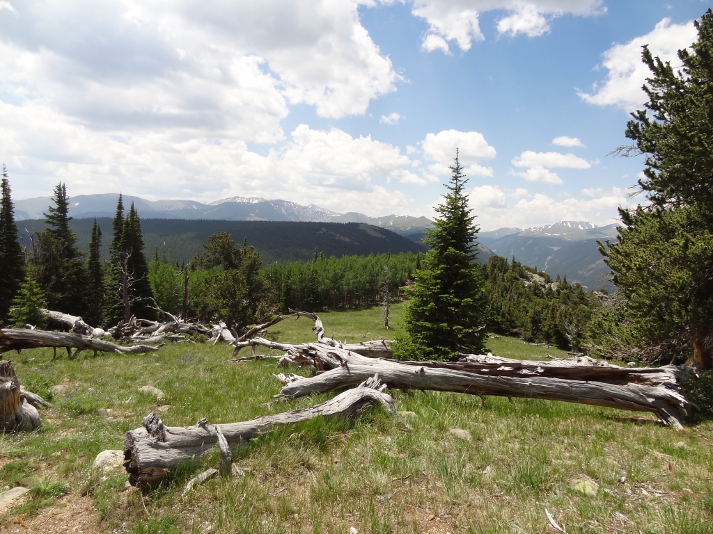
We kept going, passing the turnoff for Trail Creek Road. We were going to check that trail out later. When we got to the overlook and the Ben Harrison Mine we stopped for a bit to enjoy the sunshine and views of the mountains around us.

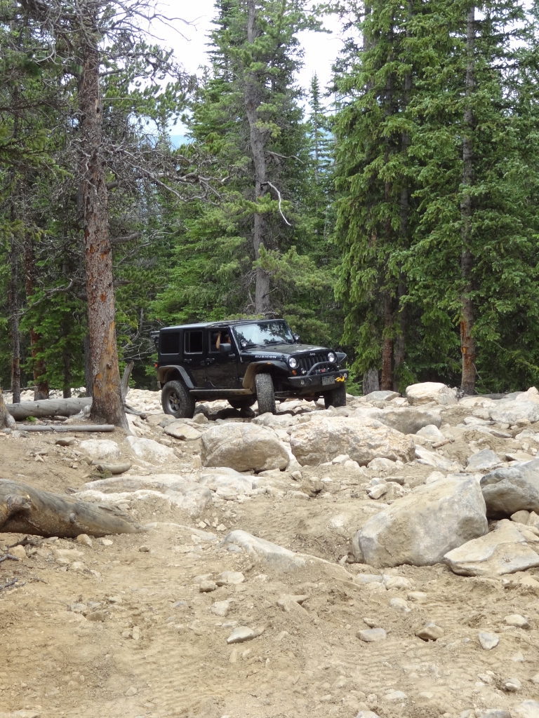
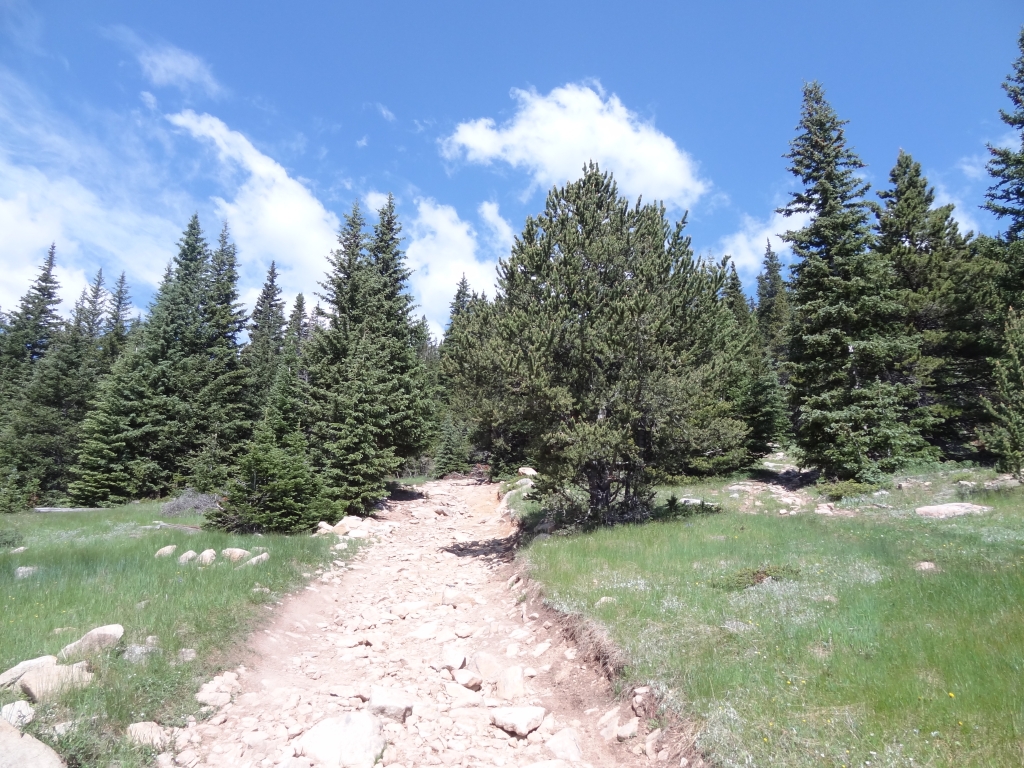
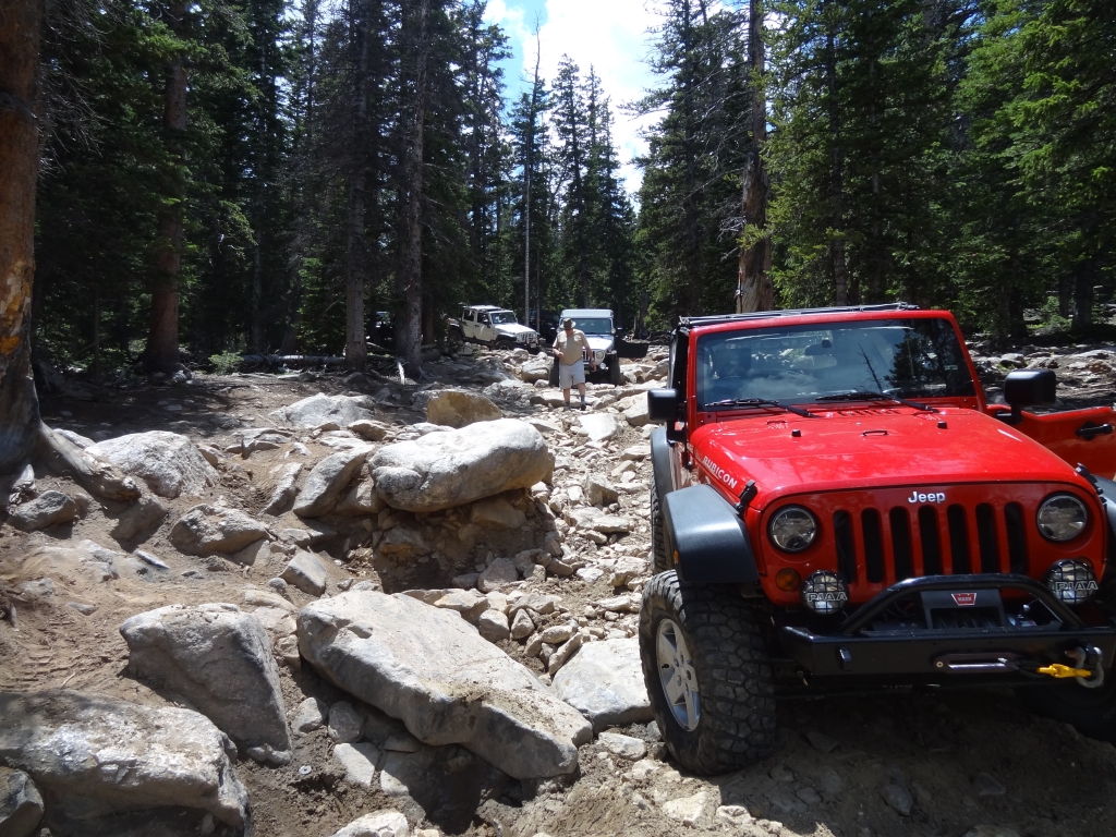
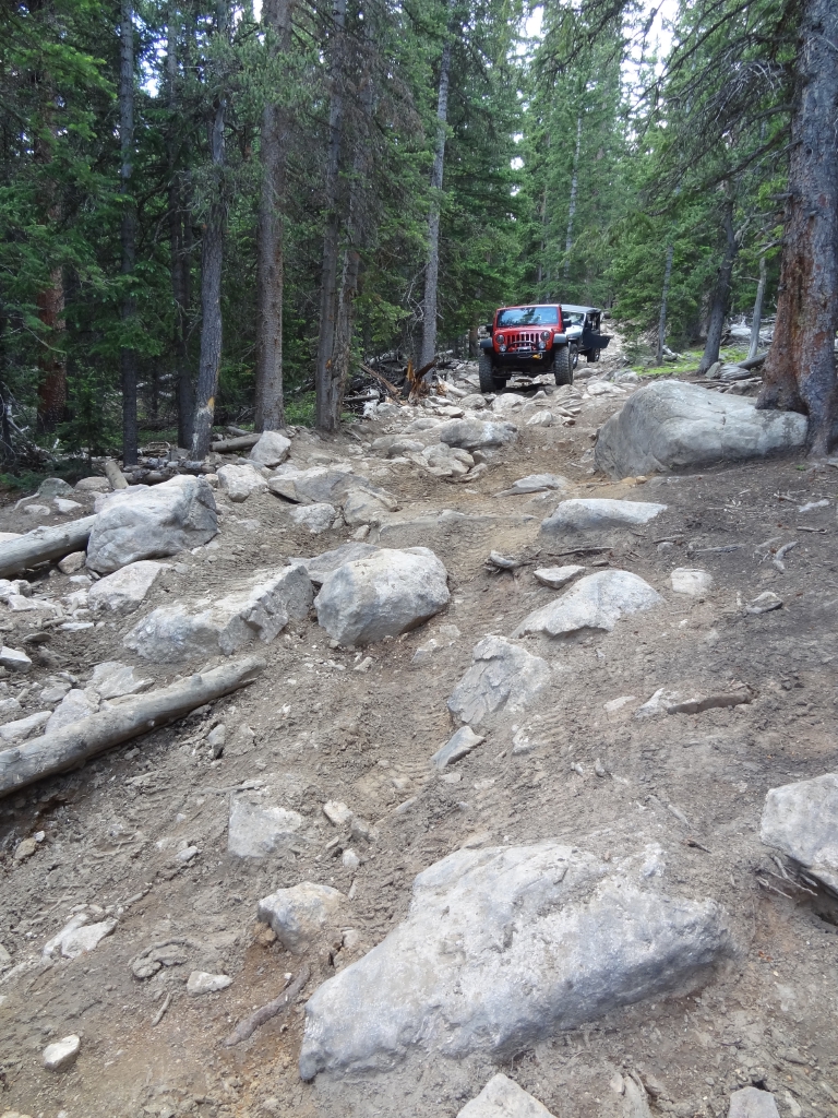
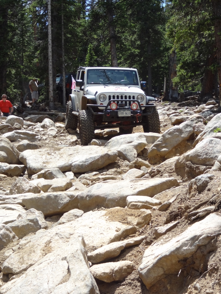
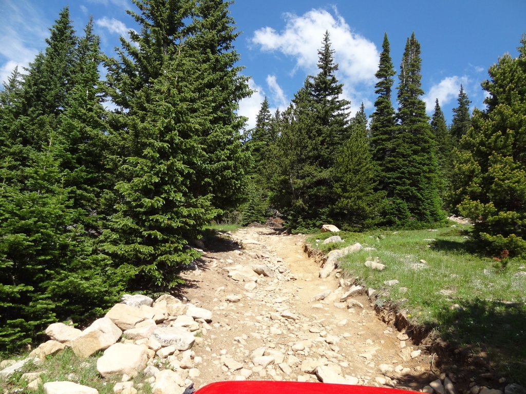
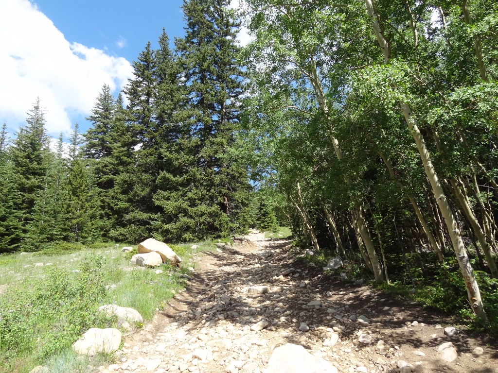
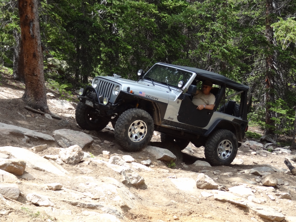
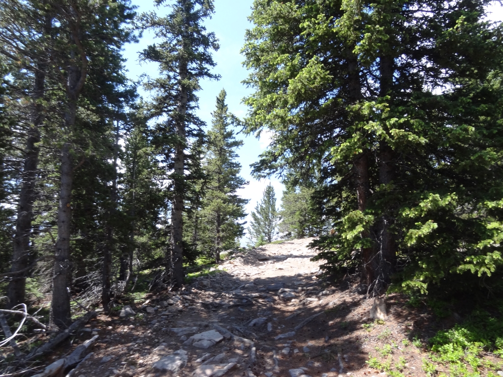
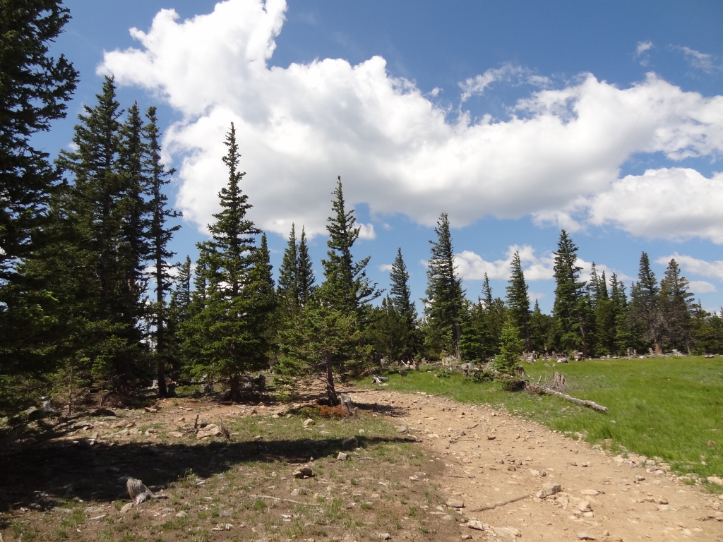
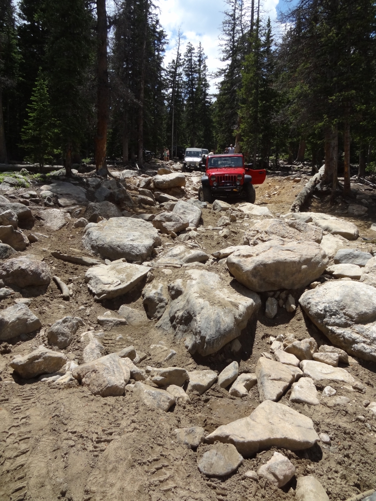
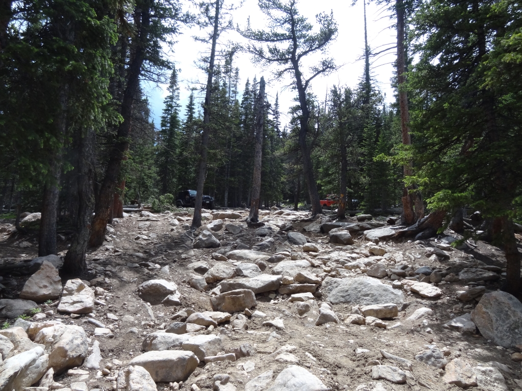
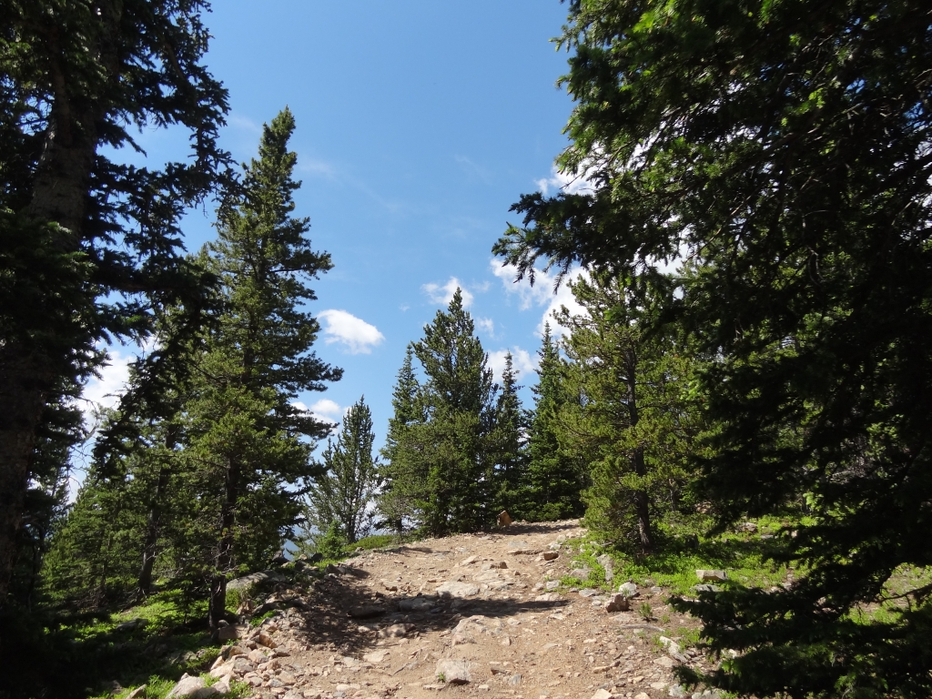
The trail got rockier, and we had a good time with the chunky, loose sections. When we got to the Spring Creek turnoff we decided to do lunch first and then come back so some of the group could tackle the Rock Garden.

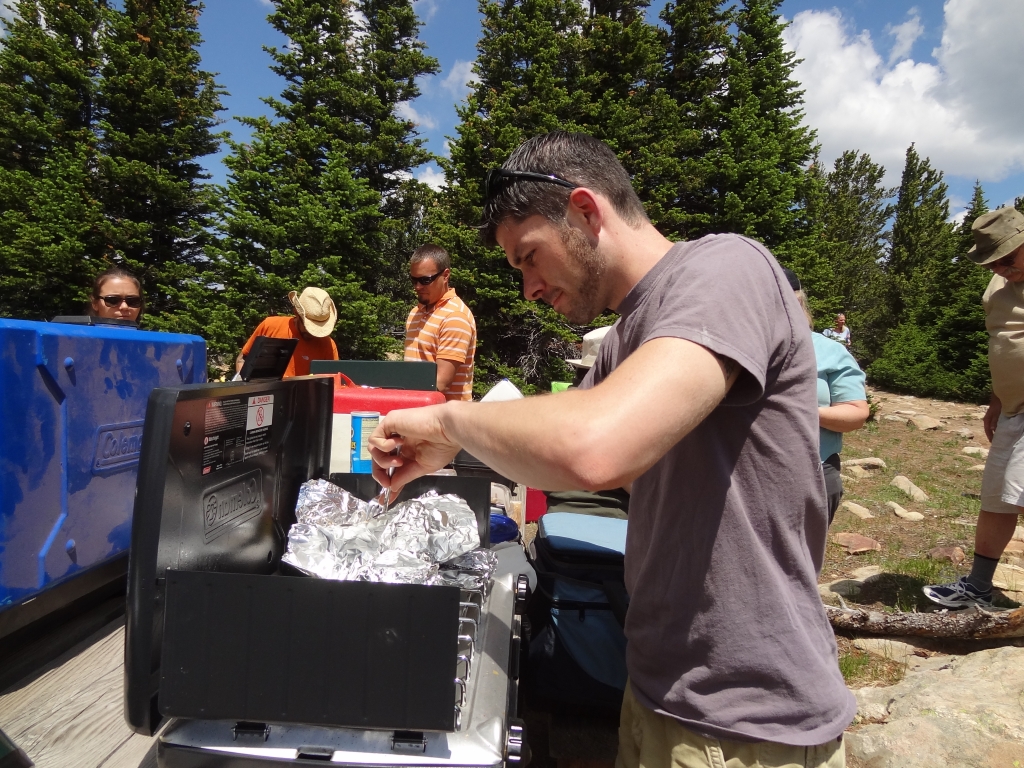
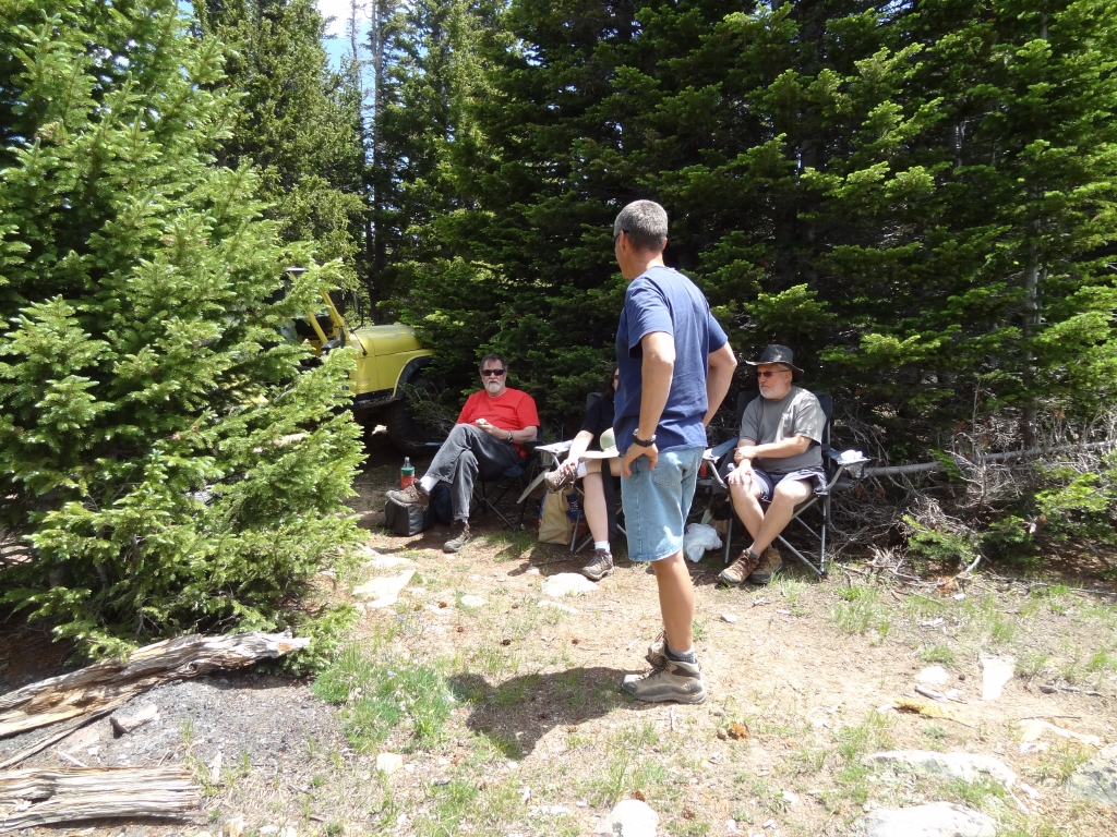
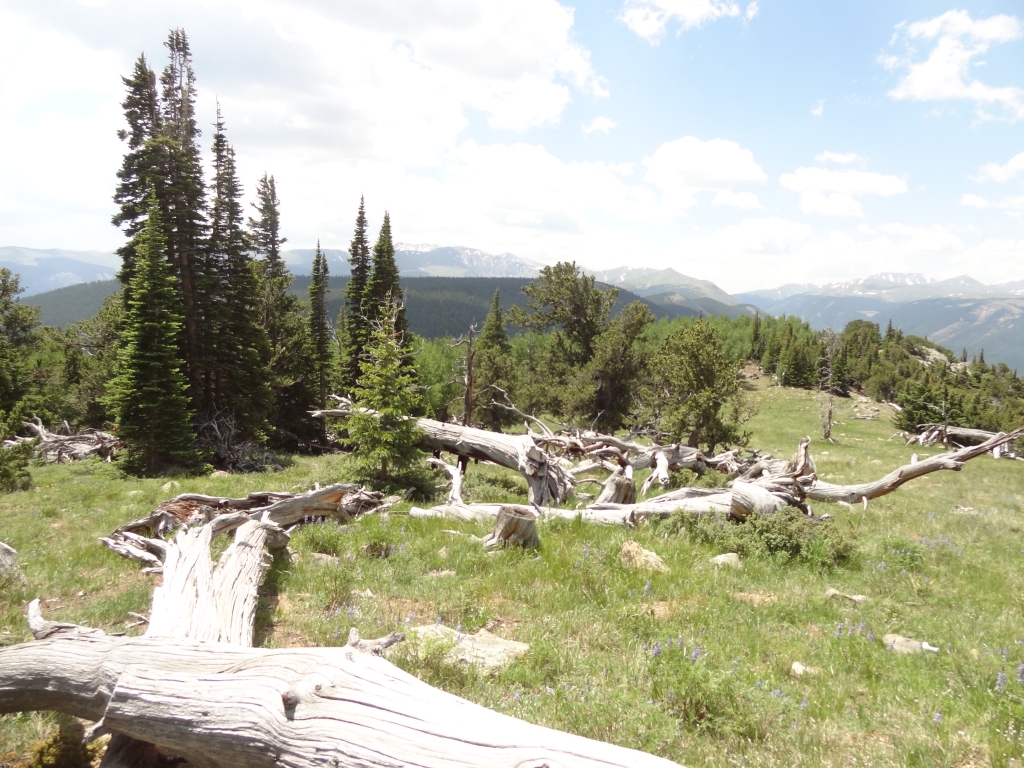
The trail ended at the Saxon Mountain trail, and we turned left to head to the top. We'd seen pictures of the washouts on that trail, and we figured that was keeping people away from the top of the mountain. We had the top to ourselves, where we had a fantastic BBQ. There was no snow, which was rare for July 4th.

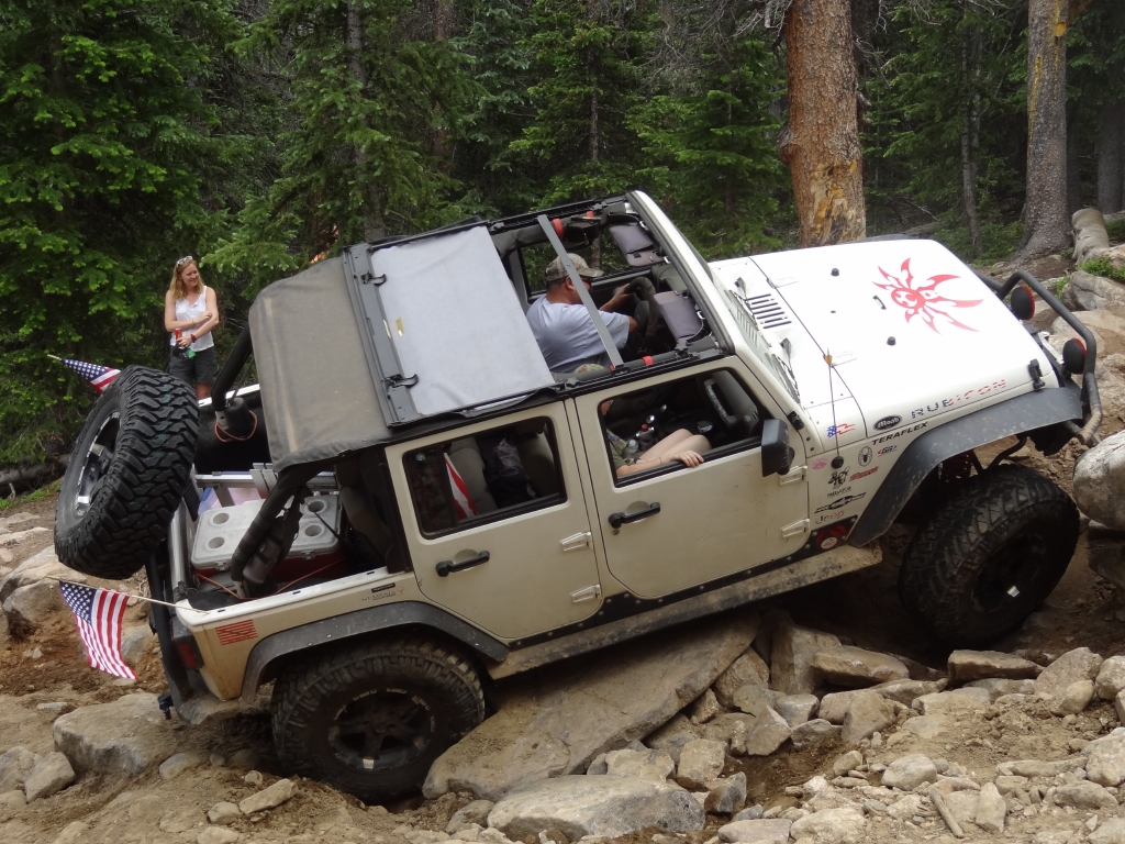
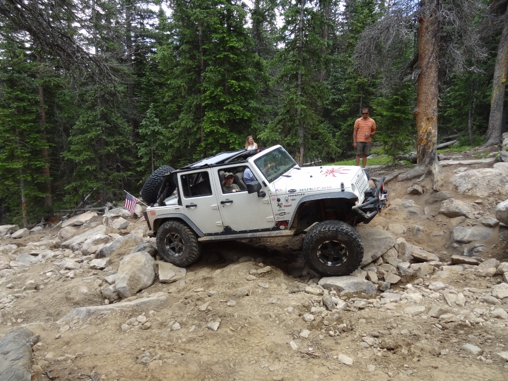
After the BBQ, we packed up and went down to the Spring Creek Rock Garden. We saw a UTV on its way up, and there was an XJ working on the rocks. He made it through like a champ, and then we had the garden to ourselves. Matt had to go home, so he didn't get to try it. Monica, Frank, and Ben all gave it a whirl.

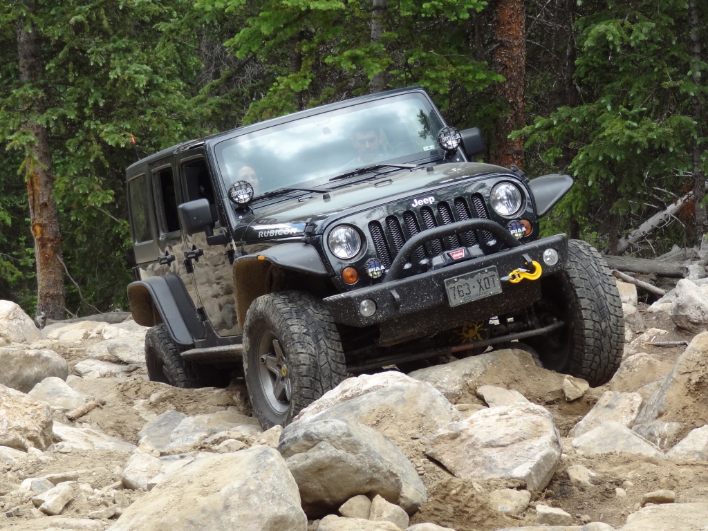
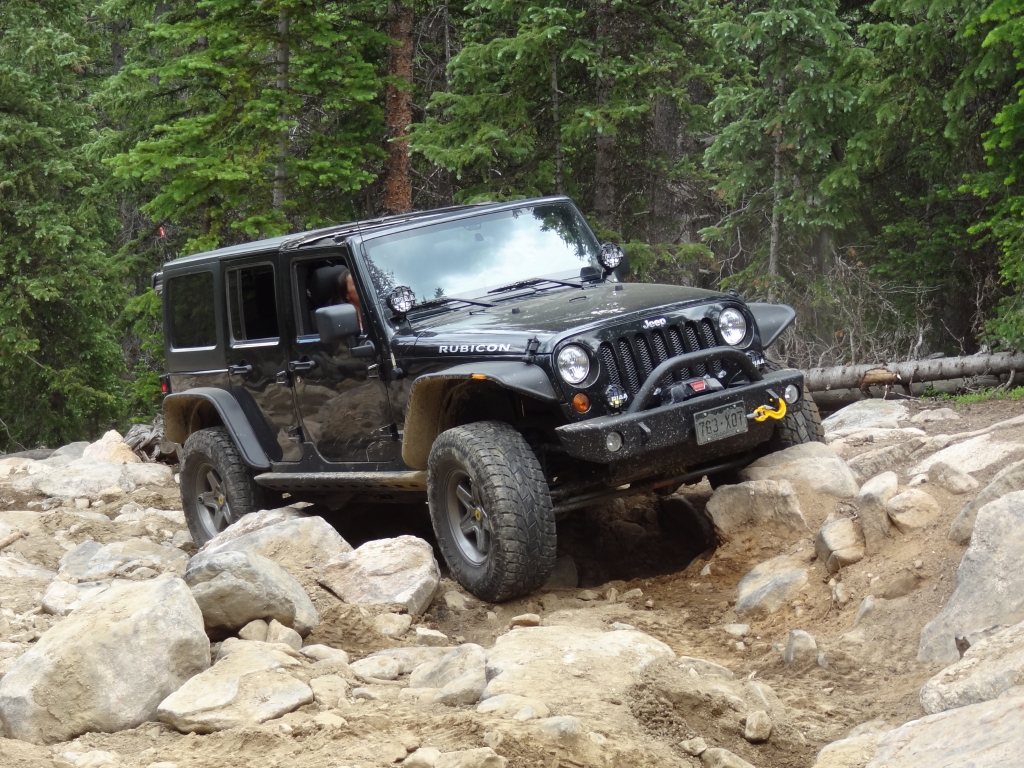
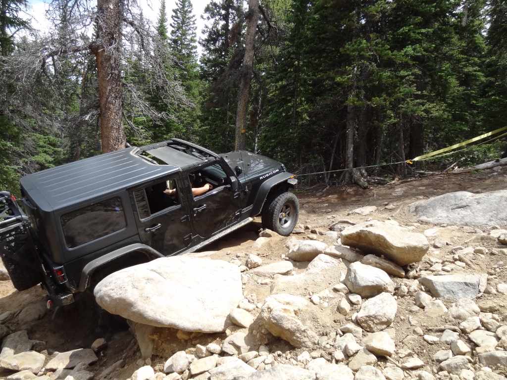
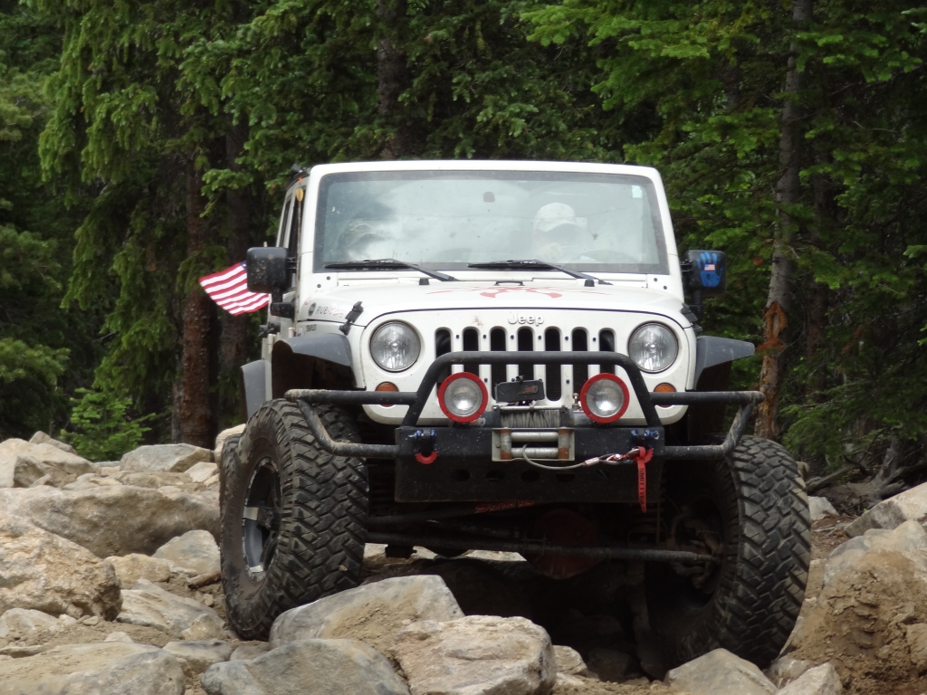
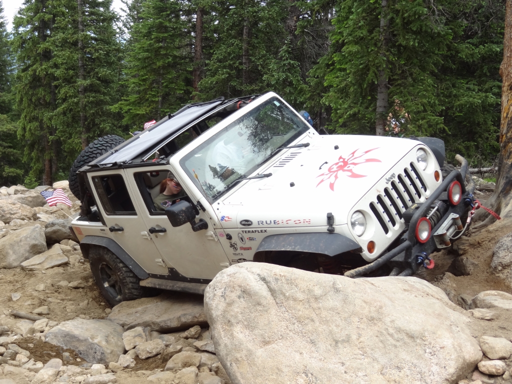
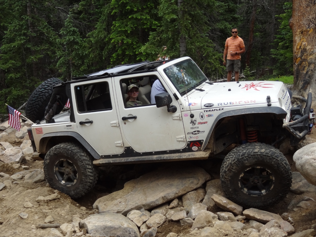
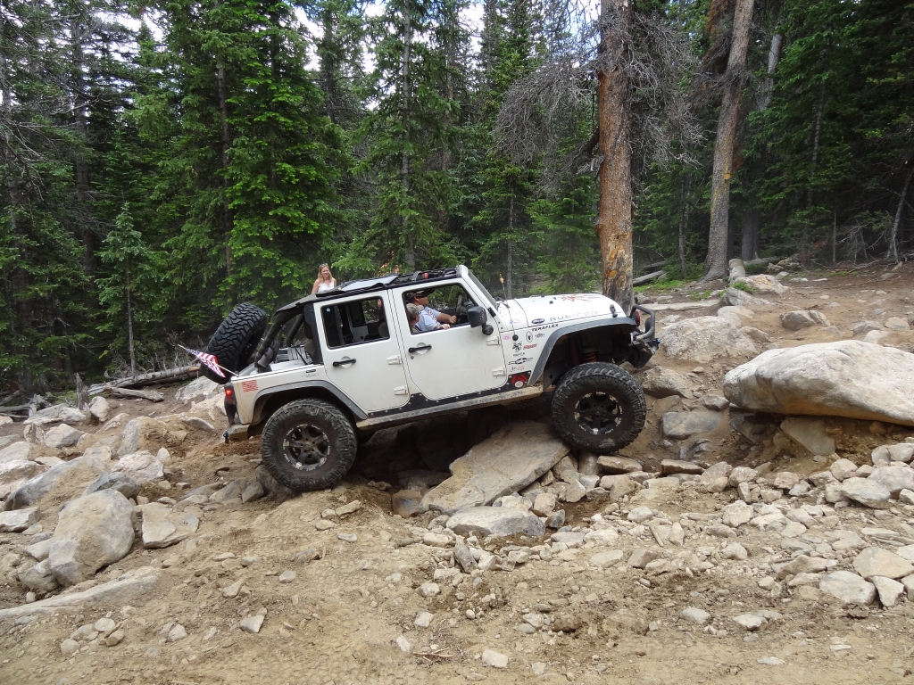
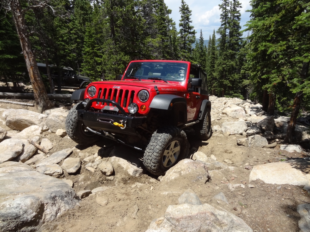
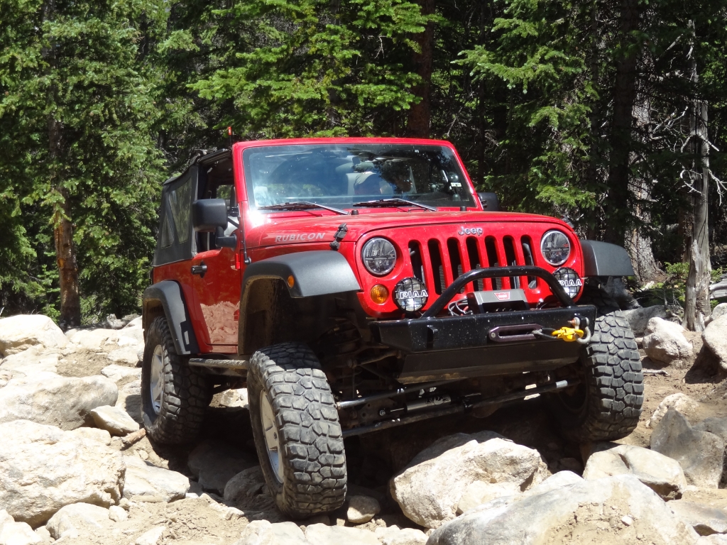
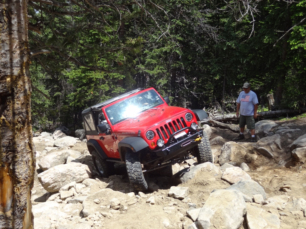
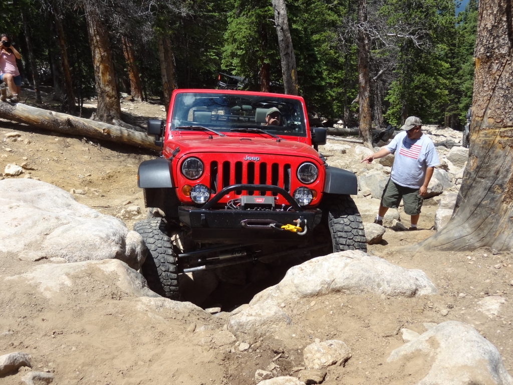
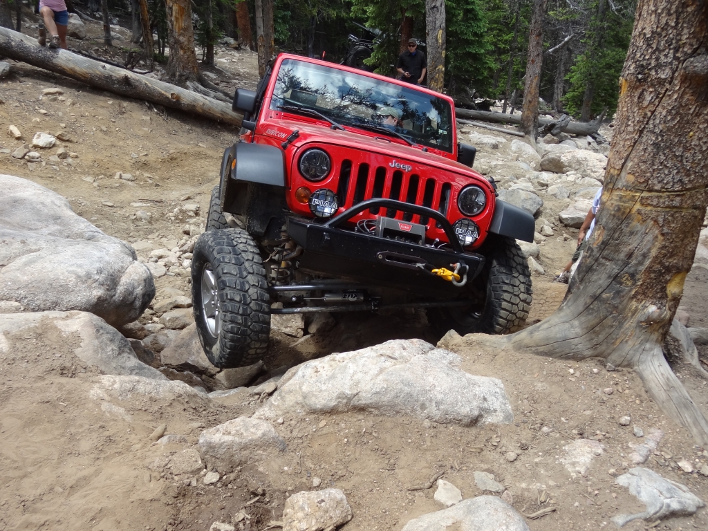
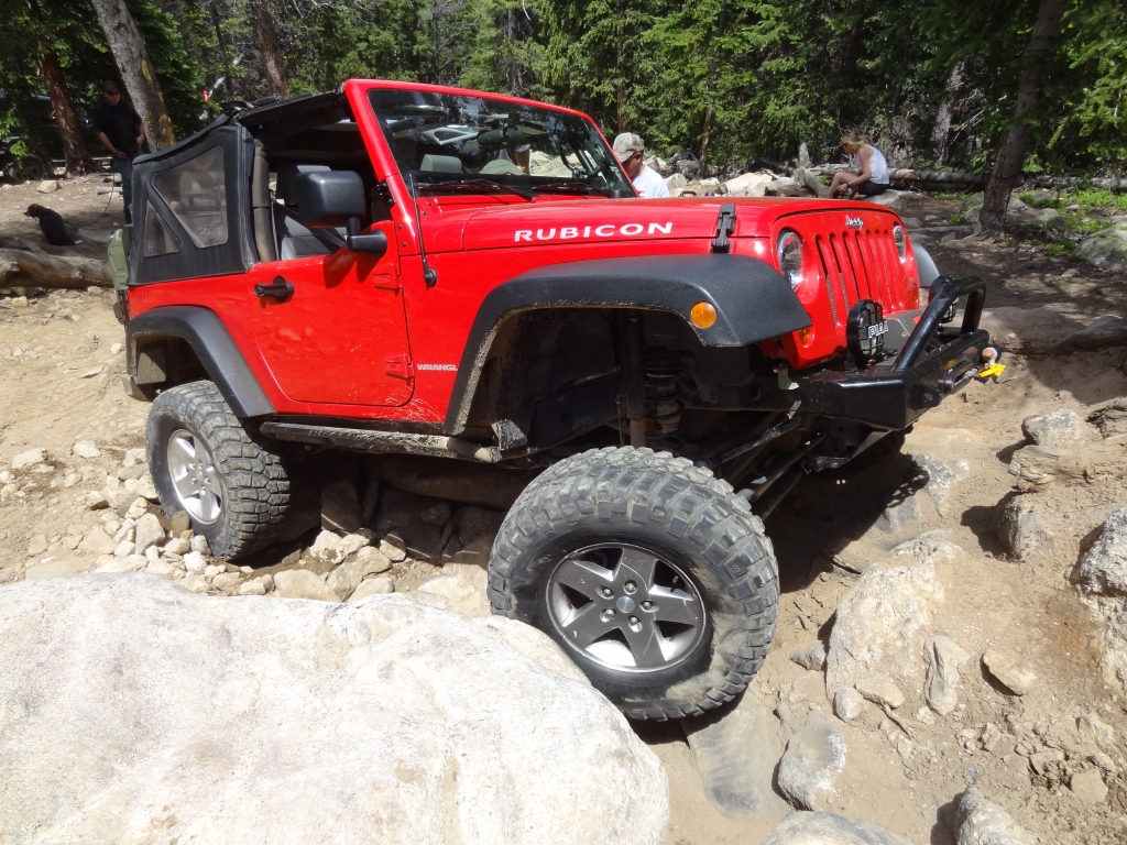
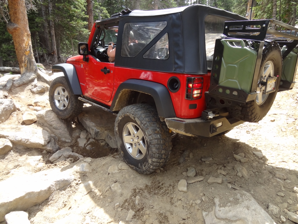
The Rock Garden is definitely eroded more and more every year. The climb by the tree was really challenging. Monica couldn't make it up with her short wheelbase, so she had to go around it. Frank would have made it, but he discovered that his rear locker wasn't working. Ben made it with the slightest of tugs from his winch.

The rest of the group was parked here and there, and we regrouped on our way back up and out of Spring Creek. The way down to the Trail Creek Road intersection was uneventful, though it started raining as we left the trail. Though South Spring Gulch isn't the most thrilling trail, it's a great way to get to the top of Saxon Mountain.
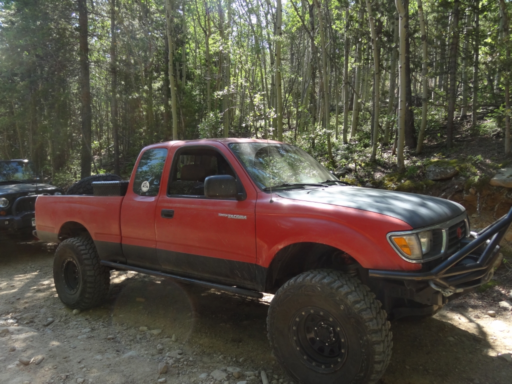
aj_on_the_trail
aj_parked
antenna_with_a_view
around_a_bend
bbq_part_1
bbq_part_2
bbq_part_3
bbq_part_4
bbq_part_5
bbq_part_6
bbq_part_7
bbq_part_8
ben_on_the_trail
ben_up_the_rock_garden_part_1
ben_up_the_rock_garden_part_2
ben_up_the_rock_garden_part_3
ben_up_the_rock_garden_part_4
ben_up_the_rock_garden_part_5
ben_up_the_rock_garden_part_6
ben_up_the_rock_garden_part_7
ben_up_the_rock_garden_part_8
ben_up_the_rock_garden_part_9
big_view
bouncy
break_time
bumpy_but_easy
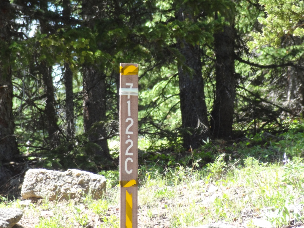
carsonite_sign
checking_out_the_rock_garden
climb
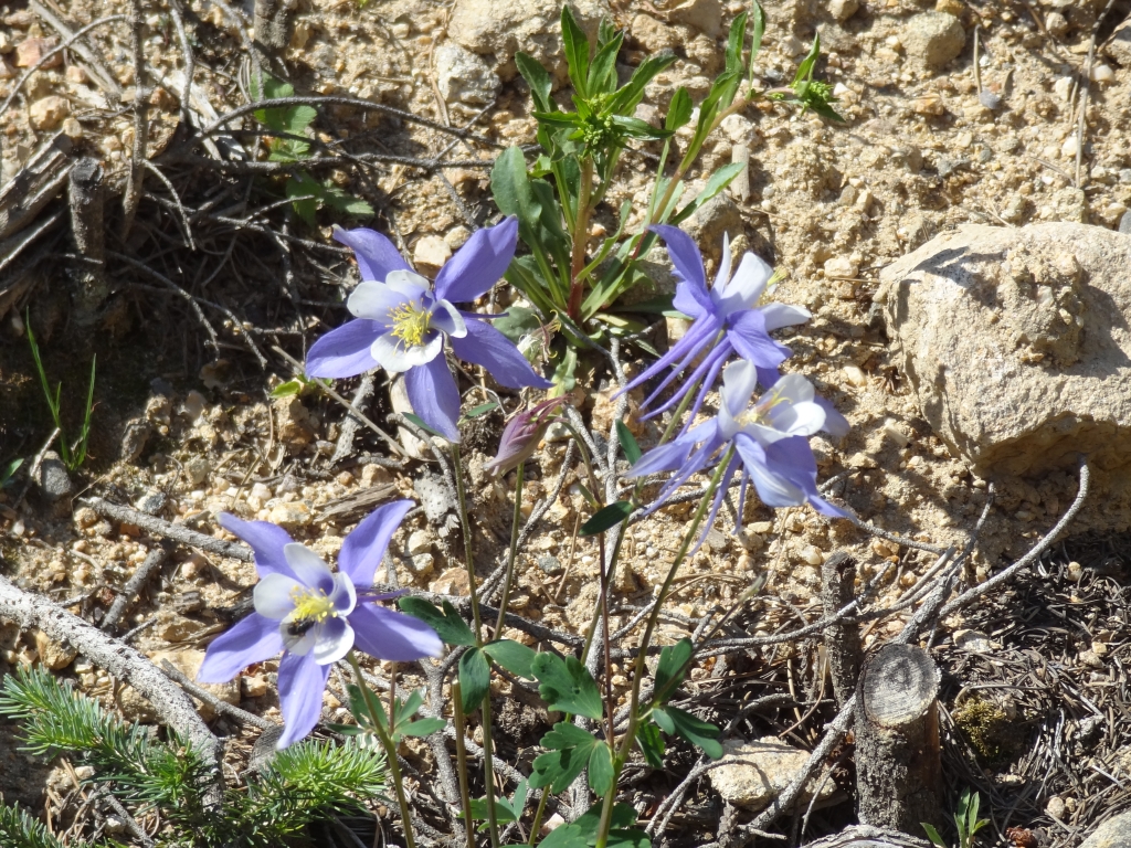
columbines
cooling_off
creek
curvy
dominik_on_the_trail
down_the_rock_garden
early_rocks
easy_climb
exposed
frank_and_aj
frank_down_the_rock_garden
frank_on_the_trail
frank_up_the_rock_garden_part_1
frank_up_the_rock_garden_part_2
frank_up_the_rock_garden_part_3
frank_up_the_rock_garden_part_4
frank_up_the_rock_garden_part_5
frank_up_the_rock_garden_part_6
frank_up_the_rock_garden_part_7
frank_up_the_rock_garden_part_8
frank_up_the_rock_garden_part_9
fun_section
gary_fixing_monicas_tire_part_1
gary_fixing_monicas_tire_part_2
georgetown_below
hanging_out
hooray
in_the_trees
jumbled
large_group
line_up
loose_rocks
mike_up_the_rock_garden
monica_up_the_rock_garden_part_1
monica_up_the_rock_garden_part_2
monica_up_the_rock_garden_part_3
monica_up_the_rock_garden_part_4
monica_up_the_rock_garden_part_5
monica_up_the_rock_garden_part_6
monica_up_the_rock_garden_part_7
monica_up_the_rock_garden_part_8
monica_up_the_rock_garden_part_9
monicas_new_stablizer
morning_shadows
mountain_view
nate_on_the_trail
near_the_end
open_space
overlook_part_1
overlook_part_2
overlook_part_3
pink_strips
regrouping
rock_garden_part_1
rock_garden_part_2
rocks
rocky_climb
saxon_mountain_intersection
saxon_mountain_part_1
saxon_mountain_part_2
saxon_mountain_part_3
saxon_mountain_part_4
saxon_mountain_sign
shorter_trees
start_of_the_trail
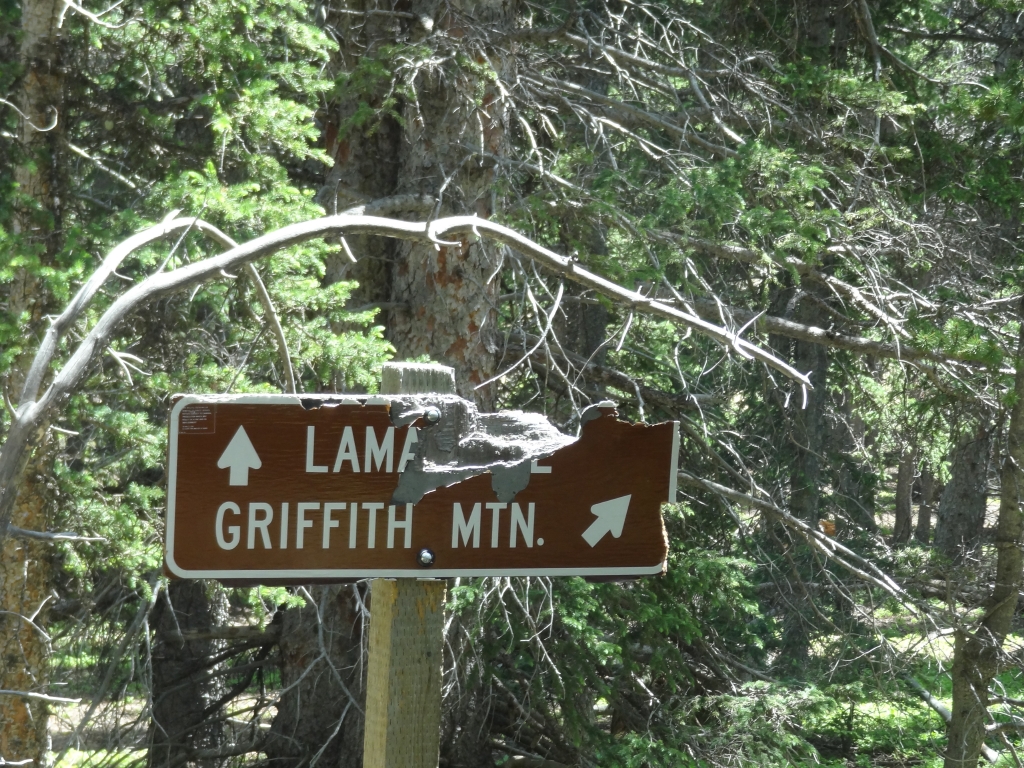
to_griffith_mountain
up_saxon_mountain
water_crossing
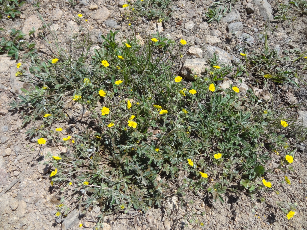
yellow_flowers
Join Us!
If you aren’t a Member or Subscriber, you can’t see all of the content on this site. Get membership information to see why this site is best when you join and log in

Information for Subscribers

When you log in you’ll see more information here:

  • Recent Community Forum posts
  • Recent polls
  • Upcoming Events you can attend
  • Links to online users

© 2000-2026 · TrailDamage.com · Terms and Conditions · About · Contact
Trail information is only accurate on the date posted. Trails may have changed or closed since that date. Use this information for historical purposes only.
Contact the Forest Service or Bureau of Land Management for up-to-date trail information.