Sheep Creek


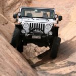
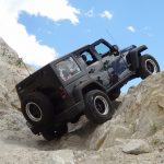
We had a successful trip through Dolores River and Scharf Mesa, and we hoped our luck would hold out. Sheep Creek was a new trail for us, though we had done the very end of it in 2008 (we called it Granite Creek at that point). We had lofty plans to take it all the way to Colorado, and we heard that it was easy and graded the whole way. That shouldn't take long!
Back in 2008 we took this trail to Dolores River and that was it. It was short and pointless. Then we found out that the "Y" intersection held much more trail, and that's what we were after this time. When we got to the intersection we turned left to do the main trail.
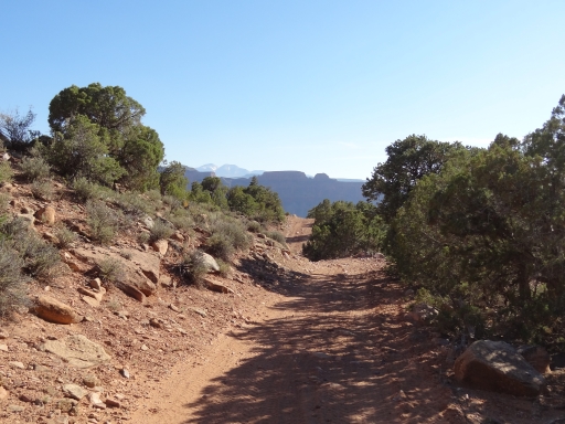
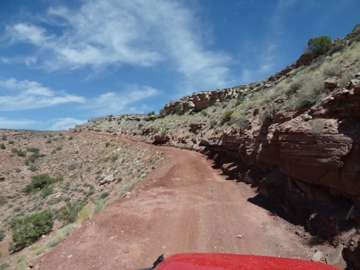
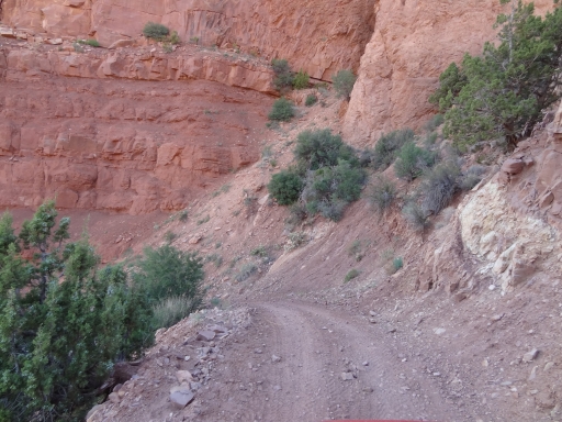
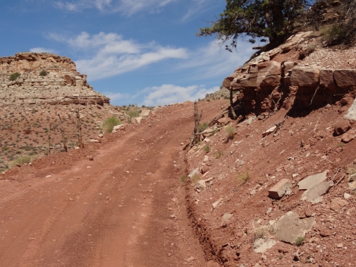
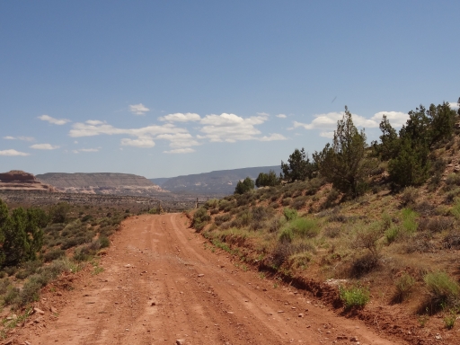
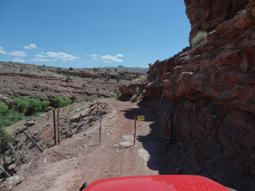
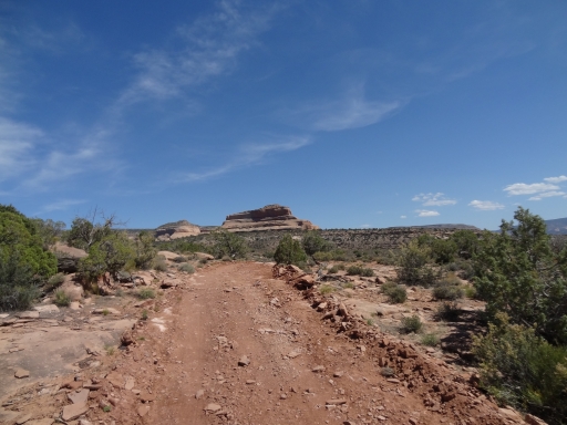
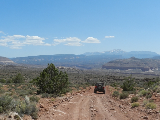
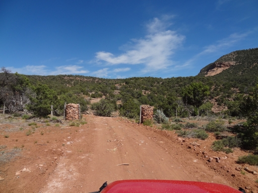
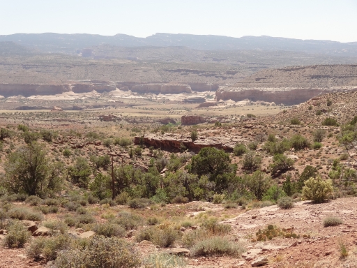
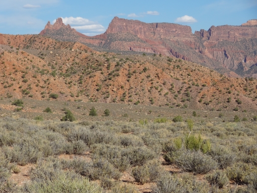
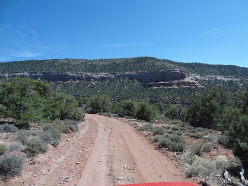
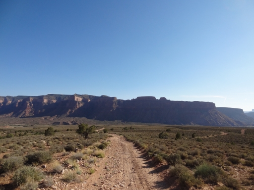
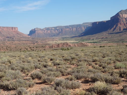
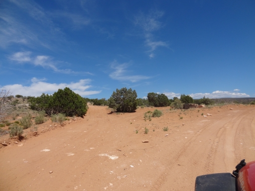
The rumors were correct, and the trail was wide, nice, and graded. We came to the gate, went through it, and closed it behind us. The creek crossing across Granite Creek was easy, with water only a couple of inches deep. The climb away from it was also easy and nice. It gave us time to enjoy the scenery, and it would make the trip a quick one.
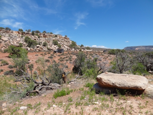
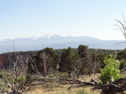
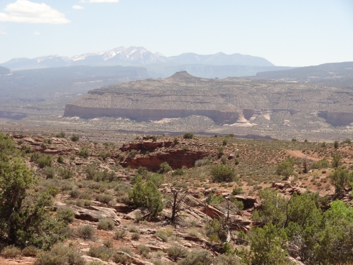
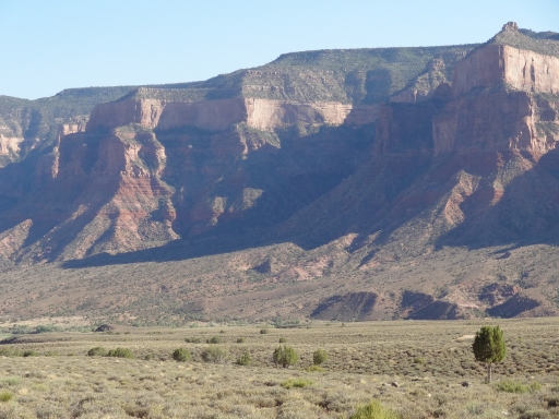
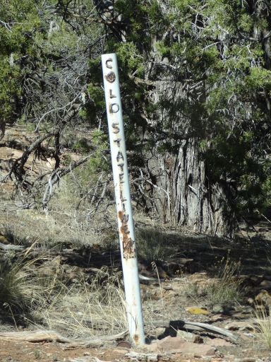
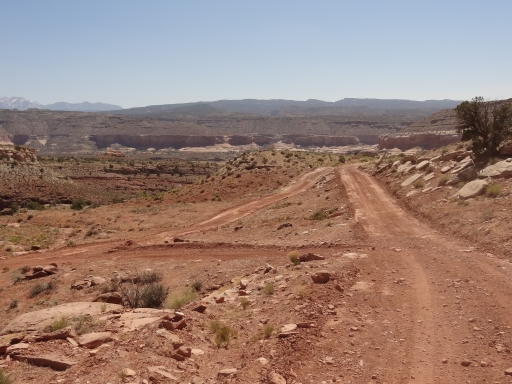
We kept heading east and we could see Steamboat Mesa ahead of us. We took the little shortcut and enjoyed the little bit of rockiness. It wasn't long before we saw a sign noting that we were crossing into Colorado. A bit farther and we saw another sign noting the state line. When we crossed into Colorado it was like night and day.
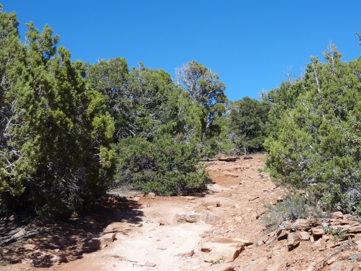
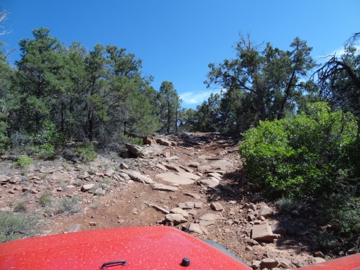
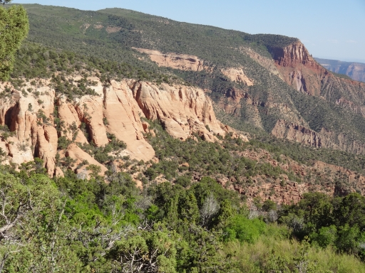
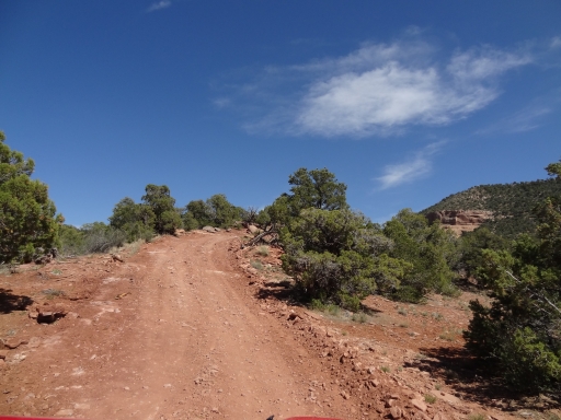
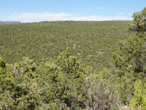
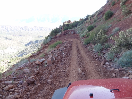
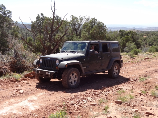
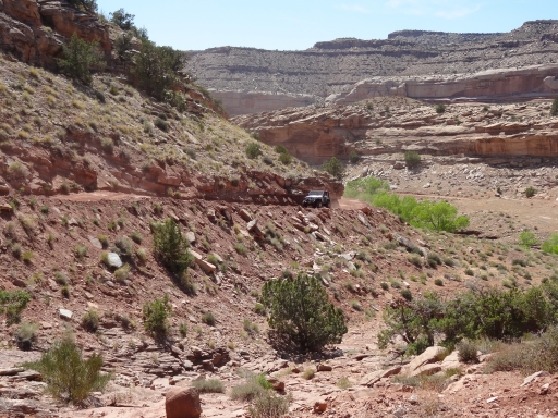
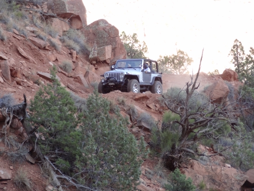
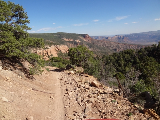
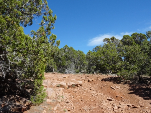
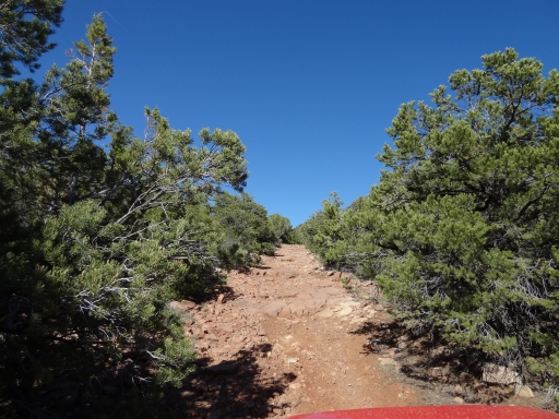
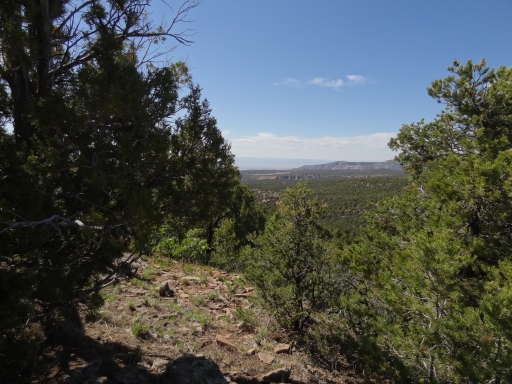
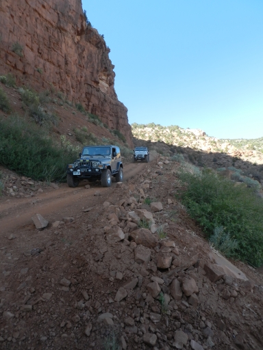
The Utah side is graded and nice. The Colorado side is an actual 4x4 trail. There were rocks and bumps in the trail, and the trees were much closer. That meant we slowed down, and soon we realized that our quick trip to Colorado was going to take a bit longer. At one point, we stopped and walked out to an edge to see what we could see. It was a sea of green trees.
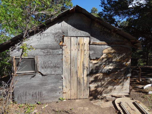
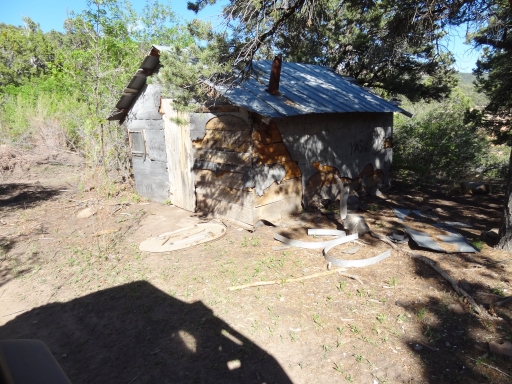
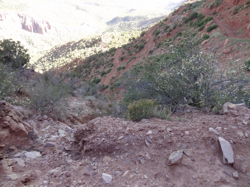
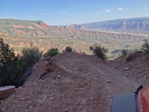
We got to the top of the switchbacks rather suddenly. The first decent was on light yellow dirt, and the trail was narrow. It opened up a bit at the cabin where it was flat, but the switchbacks kept coming after that. The dirt turned dark brown as we quickly worked our way down off of Steamboat Mesa.
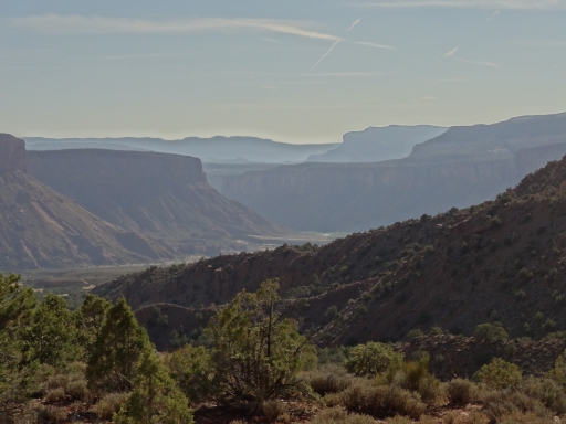
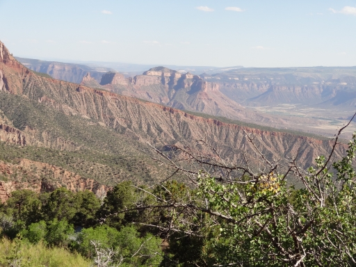
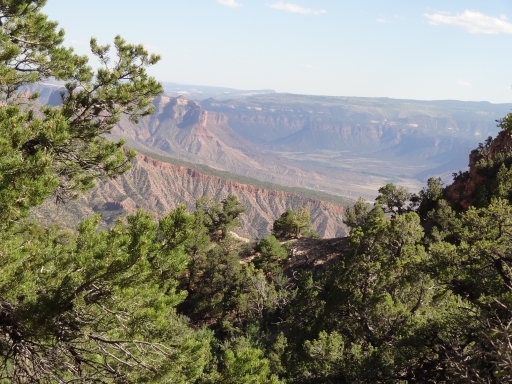
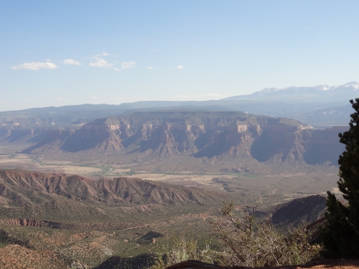
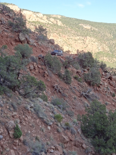
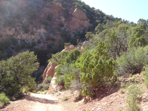
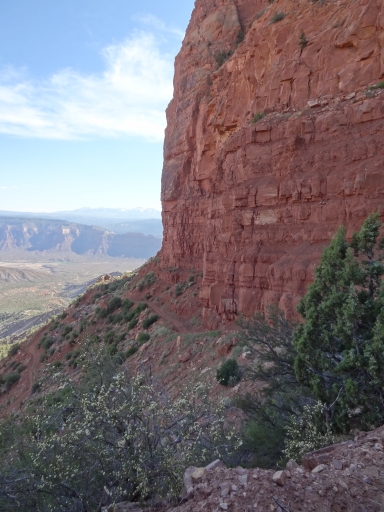
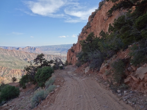
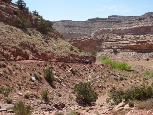
Those were some crazy switchbacks. They are steep, and some of them required a multi-point turn. We all hoped that no vehicles were on their way up because there really wasn't much passing room. It was slow going on the way down, but the scenery was amazing. It was hard to keep our eyes on the road in spots. The valley was gorgeous.
When the switchbacks ended we took a little break. But then we just kept moving. The rest of the trail was very easy, with a slow and bumpy descent down to the river. We probably should have aired up at the trailhead, but we continued on when we saw the road was dirt. It was a good dirt road, though, so we could have been aired up. That meant we had to air up when we got to the pavement, but it worked out.
We were finally headed for home at about dinner time. Julie went back to Moab and the rest of us went to Denver. We got home a bit after midnight, so everyone was tired. We were also all very dirty. But we were all very happy -- it was a great Moab trip!