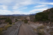
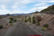
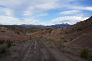
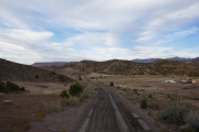
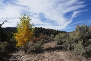
Rimrocker Trail
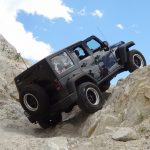
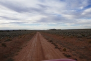
We usually go to Utah for an extended offroading trip in October, but the new Rimrocker Trail was calling to us. It connects Montrose, Colorado with Moab, Utah, and it sounded amazing. There were a few reports on the Internet and a few photos, but we wanted to see the whole thing for ourselves. It would put us in Moab at some point, and that would just have to do for us to get our Utah fix before the Colorado snows hit.
It's over 150 miles long, and we didn't really know what to expect. If it stayed easy, we could do it all in one day. But we didn't really want to. We wanted to have time to check things out along the way. Nucla and Naturita were right in the middle of the trail, so we decided to stay there and do Rimrocker over two different days. We drove from Denver, and half of us camped while the other half stayed in a hotel. Naturita would be our home base.
Day 1 - Western Side
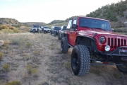
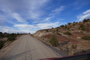
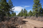
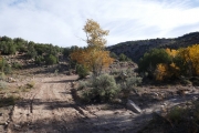
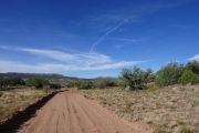
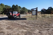
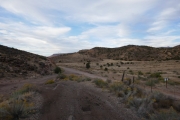
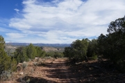
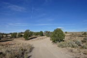
The weather was perfect when we got to the midpoint in Nucla. We took the trail a short distance west, planning on Moab for dinner. We found a place to air down soon after the pavement turned to dirt.
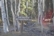
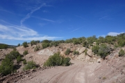
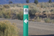
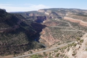
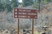
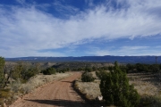
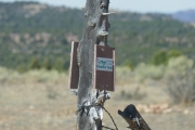
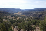
Our drive along Unaweep Valley on the way to Naturita was absolutely spectacular, so we were hoping to see it from above. We cruised along, missing our first major turn but then doubling back. The Rimrocker Trail carsonite signs were handy, so we learned to watch for them.
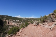
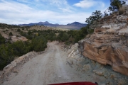
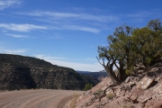
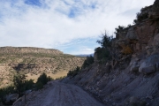
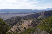
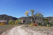
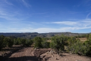
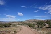
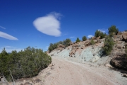
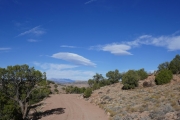
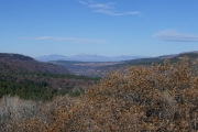
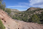
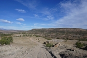
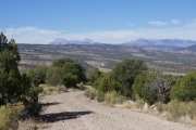
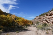
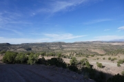
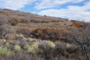
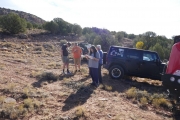
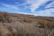
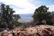
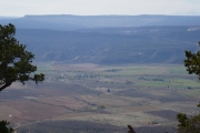
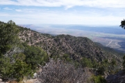
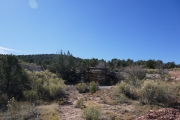
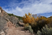
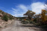
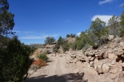
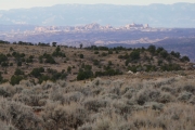
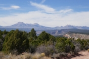
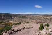
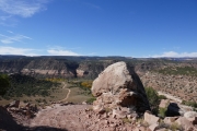
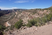
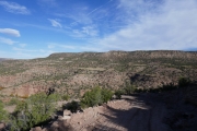
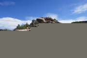
The views of the valley and everything around us were gorgeous, and we were going slowly, snapping photos and enjoying ourselves. We found a wide spot to pull off for a break, and everyone was smiling. It promised to be an amazing first day of vacation.
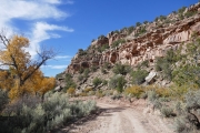
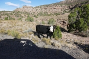
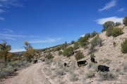
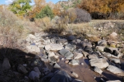
We were weaving around the trail when it suddenly dipped down and we were heading down from the mesa we'd been on. When we got to the bottom at Tebagauche Creek we found a herd of cows. The road had either walls of rock or drop offs at both sides, so the cows had a hard time getting out of the way. It caused a bit of a delay, but it worked itself out. It would turn out to be the first of many cows we'd see before we headed for home. There are cows just about everywhere in that area.
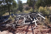
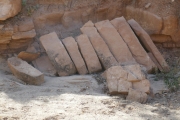
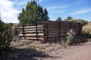
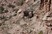
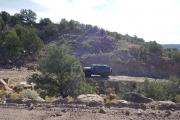
We made some turns that we would have missed without someone's Rimrocker Trail track on the GPS, but with it we found them easily enough. Then we were heading back up to the next mesa. When we got up there, we found lots of mining remnants to take pictures of. We also spotted the Hanging Flume, something we stopped to look at the day before on our way to Naturita. It's a pretty amazing feat of engineering. We wanted to check out the road that goes in the canyon and heads to Bedrock, but we probably weren't going to have time that trip. There is always something we have to skip, because there is never enough time.
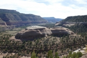
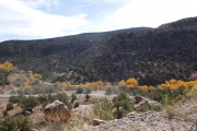
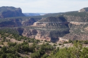
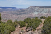
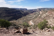
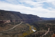
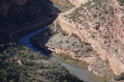
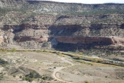
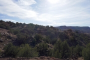
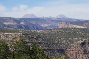
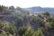
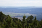
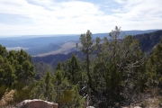
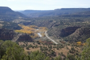
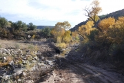
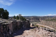
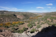
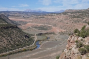
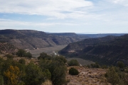
This was probably the most scenic spot we'd seen so far. The Dolores and San Miguel Rivers come together in deep and lush canyons, and we couldn't get enough of it. The Dolores Mines section was also really cool.
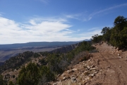
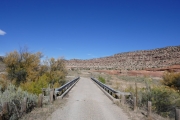
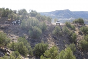
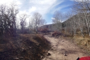
We were driving along, and then the trail went down another steep, exposed section. This one kept going, and it didn't take much trail to descend quite a distance. We knew we were going to end up at the highway, and this was where we were. We didn't know how people on ATVs connected the two sections of trail, but we were lucky enough to be driving. We took the short section of highway to find the other portion at a bridge we could see from the road.
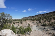
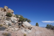
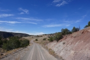
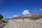
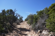
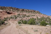
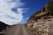
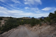
It was level for only a moment, and then it headed straight up the side of the mesa. The rocks were pretty cool in this section, but it wasn't long before we left Unaweep Valley behind us. It's not that this section isn't scenic -- it's just tough to compete with the canyons along the rivers. It was a bit of a bummer.
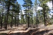
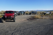
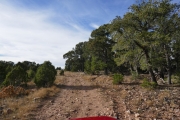
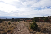
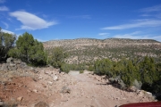
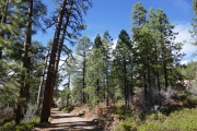
It was lunch time, so we were looking for a flat spot big enough for our group. It wasn't an easy search, and we ended up making a loop in the network of trails trying to find some scenery. There was a canyon near us, but the trail didn't get close enough to get us out of the trees. We finally gave up, and then we found a spot with a bit of a view and a place for all of us. We got lucky for lunch, like we always seem to.
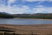
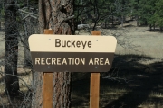
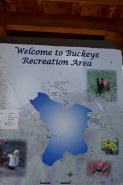
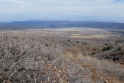
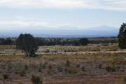
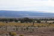
After lunch, we kept going along the mesa. Carpenter Ridge came into view, and then we could see Paradox Valley below us. It's lush farmland, and it was finally scenic again. We worked our way down, and suddenly we were at Buckeye Reservoir.
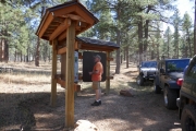
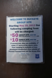
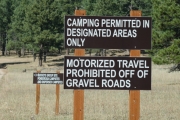
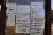
We did a drive-by of both sections of campground, just to check it all out. They were both completely empty. The spots were nice, with clean pit toilets and nice fire pits, so we hoped to come back there to camp someday.
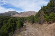
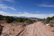
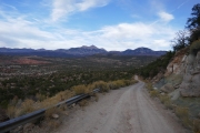
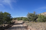
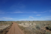
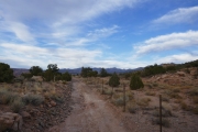
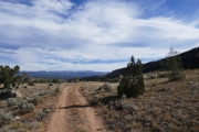
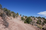
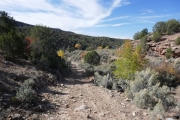
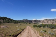
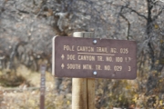
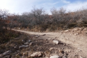
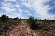
The trail was fairly easy and scenic as we got closer to the La Sal Mountains. It looked like we were headed out, and then the trail suddenly left the nice road for a rough, little-used road in Doe Canyon. This was the start of a long and bumpy section.
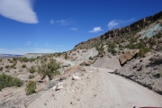
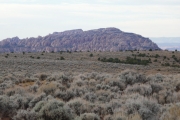
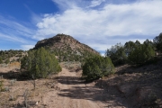
We'd gone so many miles on our first vacation day, and everyone was a bit tired as we bounced around. It was cool that we were so close to South Mountain, but the trail was pretty rough. There weren't any obstacles to speak of, either. We slowly lost elevation on loose rocks and it was pretty quiet on the CB.
We ended up going by Area BFE, suddenly knowing where we were. And it got even better when we took the frontage road instead of Highway 191 when we got there. This was handy! We'd probably take it again sometime when someone is broken and hobbling back to Moab. It was also pretty cool to find ourselves on the old pavement of the former highway.
We stopped to air up at the Spanish Valley Shell gas station, and then had a fantastic dinner at the Branding Iron, one of our favorite places. We'd hoped to do another trail, but there wasn't time. We headed home on the highway and had a great time at the campground in front of a roaring fire.
Day 2 - Eastern Side
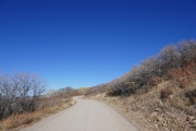
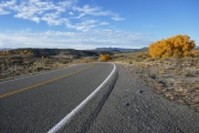
We met in the morning and aired down at a scenic spot on the pavement, getting ready to head to Montrose. We were worried that it would be rough like the western side, but we were ready for another long day if we needed to do one. We didn't have anything to worry about, though.
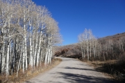
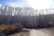
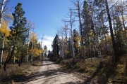
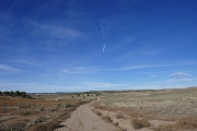
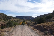
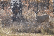
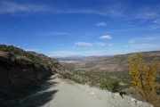
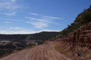
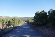
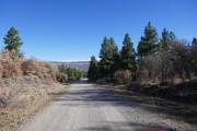
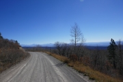
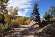
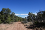
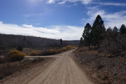
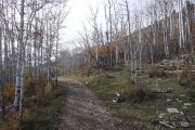
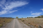
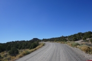
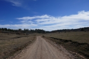
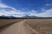
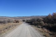
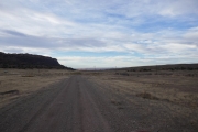
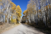
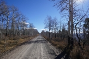
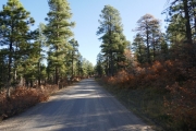
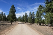
This side had lots of hunters everywhere, scouting for when hunting season started. We saw a couple elk and lots of deer, so it promised to be a good season. The road was wide gravel, so we made good time.
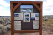
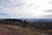
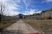
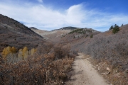
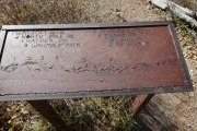
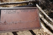
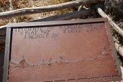
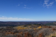
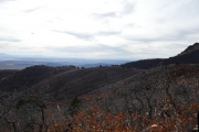
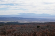
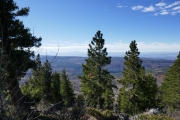
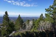
We made it up to Columbine Pass really quickly, and then we were at the Tabegauche Overlook, where we stopped for a while. It was really windy up on the ridge, and chilly. There were homemade signs done on metal plates that pointed out all of the mountains, which were pretty cool. It was well worth the stop.
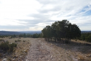
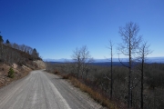
After the overlook, the trail was pretty easy and mellow. We stopped for a break once, but it was a fast trip otherwise. We were also going to do Transfer Road, so we did that on the way out so we could do all of Rimrocker Trail in the same direction.
We ended up having lunch in Olathe at a city park, and it was just about perfect. We had picnic tables, shade trees, and facilities. Then we headed up Rimrocker from the trailhead.
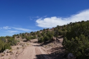
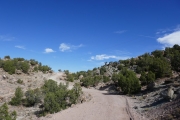
That portion of the trail is easy as it slowly and steadily heads uphill. It didn't take us long to get back to the intersection with Transfer Road, and we had lots of time to do a couple other trails, doing Rimrocker all the way back to Nucla. What an awesome trail!


