Porcupine Ranch
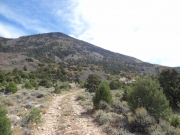
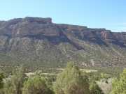
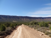
There are three trails named after the wall that is called Porcupine Rim. The Porcupine Rim trail is the most popular as it goes to the rim itself, at the top. The Porcupine 4x4 Trail next to Porcupine Rim is also popular, though it doesn't go to the rim itself. Porcupine Ranch is in the valley with Porcupine Rim towering over it. We were headed to this last one after doing Pinhook Valley, and we'd be intersecting with that trail again.
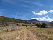
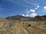
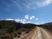
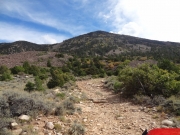
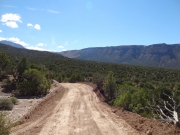
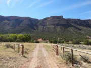
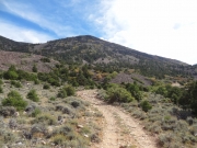
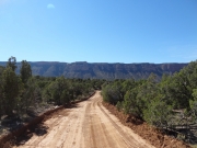
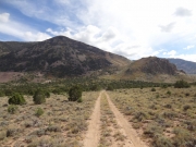
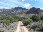
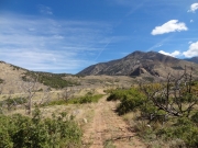
Porcupine Ranch starts next to a house and the road is graded and wide. It was easy and fast as we worked our way into the valley. Porcupine Rim looked massive ahead of us. It wasn't long at all before we found ourselves at an open gate with a "no trespassing" sign.
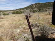
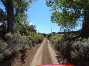
The road we wanted was on our GPS units, but it went through the gate. We stayed there for a bit trying to figure out what to do. There was a little-used trail that followed the fence next to us, and Mike took it for a bit to see if it was just for fence maintenance or if it was actually a trail. He found a forest service sign, so that was the way to go. We all followed.
It was a bit odd, following a trail with little use when we could see the trail we were expecting not too far away from us behind the fence. Luckily, it soon turned and we crossed a dry wash to find the intersection with the trail on the other side. There were signs on the fence to tell people to drive around. The trail had been rerouted around the property.
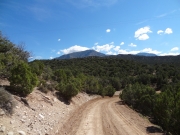
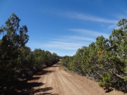
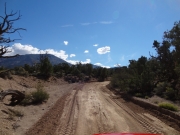
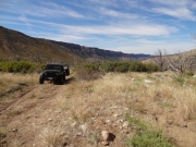
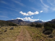
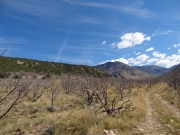
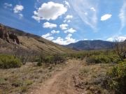
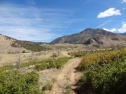
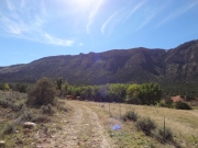
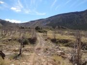
After that, the trail was pretty cool as it worked its way across the valley. It felt like we were so isolated, even though you could see us from Porcupine Rim very easily. We hoped that someone was watching us and wondering what we were doing driving across and open valley. There were bare trees around us, damaged from a fire years ago. It made it a bit creepy, even in the bright sunshine.
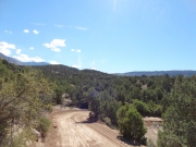
We connected with the Pinhook Valley trail and headed up to the top of the mesa. Then we turned away from that trail and headed off to explore the narrow strip of land. There was supposed to be a Pinhook Draw Historical Marker up there somewhere, so when the trail ended we all got out to look for it. Even though we really combed the area up there we couldn't find anything. Further research hasn't turned up anything, either. It's a mystery!
The trail continued, and we could see the La Sal Loop Road above us. How would we get up there? The trail weaved through some trees and we could see a final hill climb up to the pavement. We popped out at an unmarked break in the road to see people on bicycles headed down the hill. We turned right to go over to Sand Flats Road so we could see the whole area from above. This was a nice network of trails in the valley.


