TrailDamage.com

Photos, videos and information about 4x4 trails in Colorado and Utah

  • Trails
    • Colorado
    • Utah
  • Reports
    • Featured Photos
    • Featured Videos
    • Reports Calendar
  • Members
  • Search
  • Trail Damage Winners
  • FAQ
  • Community
  • Upcoming Events
  • Membership
  • Log In
  • Facebook
  • Instagram
  • RSS
  • Twitter
  • YouTube

Porcupine 4×4 Trail 151012

October 12, 2015 by Monica

Porcupine 4×4 Trail

Trail Run on October 12, 2015
Report and photos by Monica I., Trail Leader
View trail information for Porcupine 4×4 Trail

Julie M.
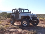
Green 2012 Jeep Wrangler Unlimited Rubicon
Monica I.
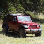
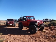
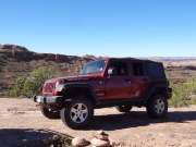
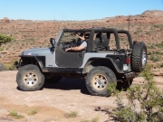
Red 2010 Jeep Wrangler Rubicon
Mike S.
Silver 2004 Jeep Wrangler Rubicon
Roger R.
Gray 2021 Jeep Wrangler Rubicon 4xe
Mike C.
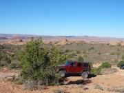
Red 2012 Jeep Wrangler Unlimited Rubicon

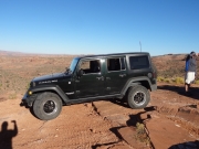
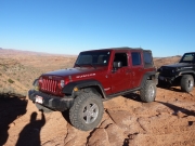
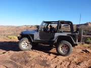
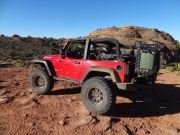
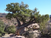
If you asked everyone in our little group what the goal of the trip was, most of us would have said that it was the Porcupine 4x4 Trail. We'd all been in the Sand Flats Recreation Area for years without even knowing it existed. When we saw it on a map a couple of years earlier, it became a priority. We were really looking forward to checking it out.

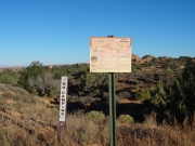
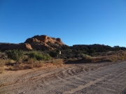
We'd seen the eastern end a few days earlier, but fading light and a long trail turned us away. This time, we scheduled it first and early in the day so we'd have time to do it, no matter how hard it was. We'd seen the trailhead quite a few times in the past few days, so it was good to finally take it. It seemed fitting to do all three trails with "Porcupine" in the name all in one trip.

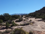
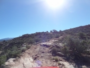
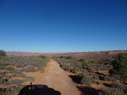
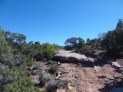
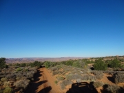
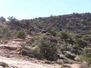
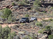
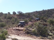
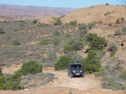
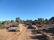
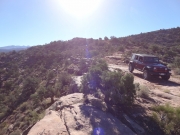
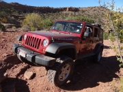
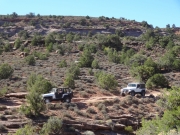
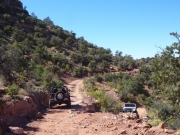
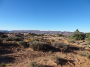
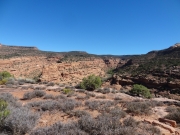
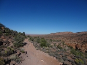
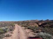
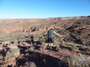
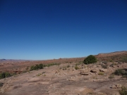
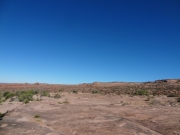
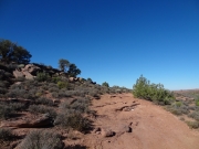
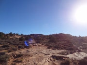
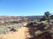
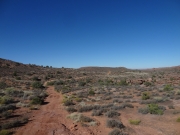
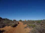
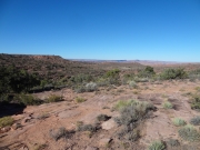
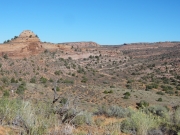
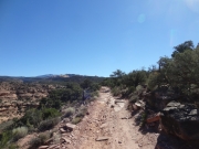
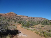
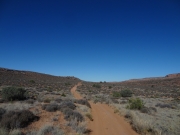
The trail was pretty easy for quite a while, but it was nice. There is something so wonderful about a cool Moab morning on the trail when the trail is wide open and mellow. There were fun, sandy stretches and you could see for miles in all directions.

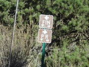
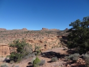
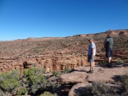
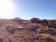
It didn't take us long to get to the Fins & Things intersection where we turned around and headed back in. Then it was only a few minutes more to get to the first overlook. Honestly, we're all pretty spoiled and the overlook left a little to be desired. We knew that the other overlook was on the canyon's rim, so we hoped it would be better. We didn't stay that long after stretching our legs and finding morning snacks to munch on.

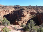
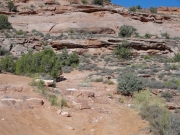
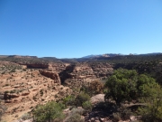
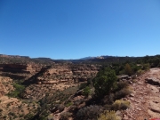
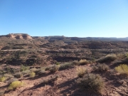
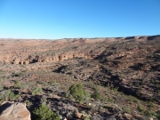
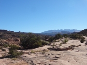
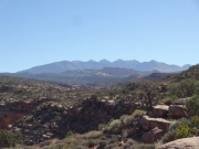
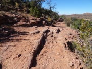
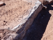
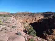
We took the main intersection over to the eastern side, and then the trail got better. It was more scenic as it almost always had the canyon in view. It's not the widest or deepest canyon in the Moab area, not by a long shot, but it's nice. We had some bumpy spots and ledges to enjoy along the way.

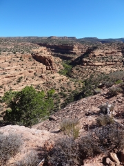
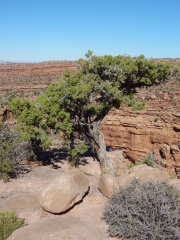
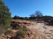
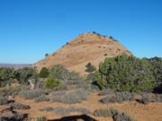
We stopped when the trail got close to the canyon's rim, just to check things out. This actually ended up being more scenic than both overlooks, so we were glad we stopped. It was at the base of a big hill that was fun in both directions.

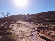
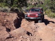
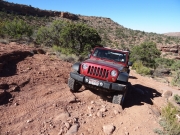
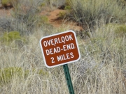
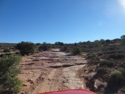
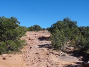
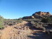
We spent a bit of time at the second overlook, and then we headed for the final leg of the trail. This ended up being the best part. It got closer to the canyon, and the scenery improved. In addition, there were better obstacles. We found a fun one with a bypass that seemed worse than the actual obstacle, so all of us took the main section. It was a great time. When we were all at the top, we found a large area with shady spots. It was lunch time, so we stopped there. Another fantastic lunch! We also got to see a side-by-side go up it, which was a nice bonus.

After lunch, we kept going and kept enjoying the obstacles and scenery. We knew we were getting close to the end when we could see Sand Flats Road above us -- or at least we could see the cut where it was. Then we hit the last obstacle.

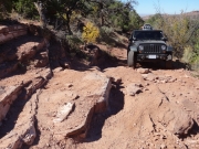
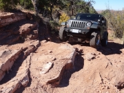
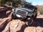
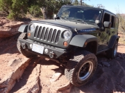
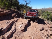
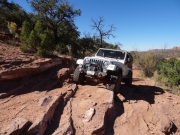
It was tippy, and near the edge. It reminded us of some obstacles on the Porcupine Rim trail. With some spotting and careful tire placement we all made it past it in one piece and up to Porcupine Rim.

Monica wanted to do the fun rocks there again so she went up Porcupine Rim a bit to turn around in a wide spot while the others made the tight right turn. They both take about the same amount of time, so it's good to have options.

It was a fun trail! When we got to the top and the parking area on Sand Flats Road we talked about options. Julie found some little trails off of the main road that we also hadn't seen, so we headed off to check those out, too. Good times!

across_slickrock
alternate_route
carsonite
climb
easy_trail
fins__things_or_porcupine_rim
gooseneck
hard_ledge
into_the_sun
jeep_line_up
jeep_shadow
julie_and_mike_s_down_the_hill
julie_and_mike_s
julie_getting_tippy_part_1
julie_getting_tippy_part_2
julie_getting_tippy_part_3
julie_getting_tippy_part_4
julie_mike_s_and_roger
julie_on_the_trail
julie_parked
ledges
little_ledge
mike_c_down_a_hill
mike_c_getting_tippy
mike_c_next_to_the_canyon
mike_c_on_slickrock
mike_c_on_the_trail
mike_c_parked
mike_c_up_the_steep_obstacle_part_1
mike_c_up_the_steep_obstacle_part_2
mike_c_up_the_steep_obstacle_part_3
mike_s_and_roger
mike_s_getting_tippy
mike_s_on_porcupine_rim_and_roger_on_porcupine_4x4_trail
mike_s_on_slickrock
mike_s_parked_part_1
mike_s_parked_part_2
moab_rim
monica_and_mike_c
monica_on_slickrock
monica_parked
negro_bill_canyon_part_1
negro_bill_canyon_part_2
negro_bill_canyon_part_3
negro_bill_canyon_part_4
negro_bill_canyon_part_5
negro_bill_canyon_rim
open_space
overlook_1_part_1
overlook_1_part_2
overlook_1_part_3
overlook_1_part_4
overlook_1_part_5
overlook_2_part_1
overlook_2_part_2
overlook_2_part_3
overlook_2_part_4
overlook_2_part_5
overlook_2_part_6
overlook_2_sign
parked_at_overlook_1
parked_at_overlook_2
red_rock
rock_and_dirt
rock_and_roll
rock_print
roger_getting_tippy
roger_on_slickrock
roger_on_the_trail
roger_parked
sandy
signs
slickrock_stairs
small_branch_big_shadow
small_trail
soft
stairmaster
start_of_the_trail
tiny_hill
tippy_part_1
tippy_part_2
to_overlook_2
trail_ahead
trail_on_the_edge
trailhead_signs
trailhead
tree
up_and_around
view_along_the_way
wavy_and_fast
yellow
Join Us!
If you aren’t a Member or Subscriber, you can’t see all of the content on this site. Get membership information to see why this site is best when you join and log in

Information for Subscribers

When you log in you’ll see more information here:

  • Recent Community Forum posts
  • Recent polls
  • Upcoming Events you can attend
  • Links to online users

© 2000-2022 · TrailDamage.com · Terms and Conditions · About · Contact
Trail information is only accurate on the date posted. Trails may have changed or closed since that date. Use this information for historical purposes only.
Contact the Forest Service or Bureau of Land Management for up-to-date trail information.

/* ----------------------------------------- */ /* View slug: reports-other-reports-for-same-trail-slider - start */ /* ----------------------------------------- */ /* place the prev/next controls on the sides */ .td-transition-controls .wpv-filter-next-link, .td-transition-controls .wpv-filter-previous-link { border: none; font-size: 300%; position: absolute; top: 70px; } .td-transition-controls .wpv-filter-previous-link { left: 0; } .td-transition-controls .wpv-filter-next-link { right: 0; } /* center the page selector horizonatally */ .td-transition-controls ul.wpv_pagination_dots { text-align: center; margin-top: 10px; } /* center the page selector horizonatally */ .td-transition-controls ul.wpv_pagination_dots li.wpv_pagination_dots_item, .td-transition-controls .wpv_pagination_dots li a { display: inline-block; float: none; } /* remove the default styles */ .td-transition-controls .wpv_pagination_dots li a { text-decoration: none; border-bottom: none; } .td-slider-container { padding: 0 25px; margin-bottom: 20px; position: relative; width:100%; display:table; } .td-slides { position: relative; } .td-slides-image { float:left; display:table-cell; } .td-slides-image img { border:1px solid #c0c0c0; } .td-slides-content { padding:4px 4px 4px 10px; border-top:1px solid #c0c0c0; border-right:1px solid #c0c0c0; border-bottom:1px solid #c0c0c0; display:table-cell; height:227px; overflow:hidden; } .td-slides-content h3 { margin-top:8px; } .td-slides-leader { font-size:smaller; margin-top:4px; } /* ----------------------------------------- */ /* View slug: reports-other-reports-for-same-trail-slider - end */ /* ----------------------------------------- */
/* ----------------------------------------- */ /* Content Template: Template for a Single Report - start */ /* ----------------------------------------- */ .entry-header { display:none; } .entry-content h1 { margin-top:16px; padding-top:0; } h1 a { color:#222; } h1 a:hover { color:#666; } p.entry-meta { font-size:small; } #report-body-spacer { clear:both; width:100%; height:20px; } #addtoany-bar { margin-bottom:2em; text-align:center; } .category-reports .post-info .author, .post-info .date { display: none; } .addthis_recommended_horizontal { text-align:center !important; } /* ----------------------------------------- */ /* Content Template: Template for a Single Report - end */ /* ----------------------------------------- */ /* ----------------------------------------- */ /* Content Template: Loop item in REPORTS Runners - start */ /* ----------------------------------------- */ #runners-container { width:100%; clear:both; } .runner { border:1px solid #c0c0c0; margin:0 6px 6px 0; float:left; width:49%; height:81px; } .runner-image { float: left; } .runner-image img { margin:2px 10px 0 2px; height:75px; width:75px; } .runner-name { text-transform:uppercase; } .runner-name a { color:#222; } .runner-name a:hover { color:#666; } .runner-vehicle { font-size:small; } @media only screen and (max-width: 768px) { .runner { width:100%; } } /* ----------------------------------------- */ /* Content Template: Loop item in REPORTS Runners - end */ /* ----------------------------------------- */