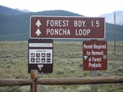
Poncha Loop
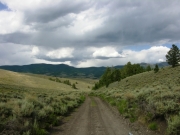
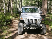
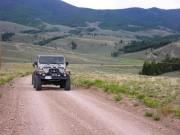
After running Clover Creek we were still in the mood to do some exploring. We turned left off Clover Creek and realized we were on Poncha Loop. We followed this for a while, trying different spurs until we found one that went west into the hills.
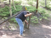
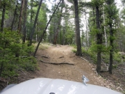
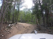
We followed the trail as it departed from Poncha Loop and began to get more difficult. After passing through a wire fence gate, we were into the trees and winding our way up the hill. We found one steep climb, but that turned into a narrow ATV trail at the top so we turned around. That was a dead end.
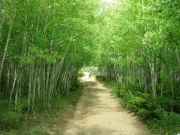
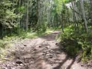
We soon found a county road that led us back to the Poncha Loop trail. We didn't realize it, but if we had turned left instead of right, we probably would have been back on Toll Road Gulch in a very short time (according to the map). We were glad we found this side trip, however, because as we approached Poncha Loop we found ourselves in an aspen grove where the young trees arched over the road creating a virtual tunnel through the trees. This would be a great spot to find when the leaves were turning in the fall!
After finding Poncha Loop again, we turned back toward Clover Creek and then ran the last mile or so of that trail in order to fully map it. Once on Highway 285 we turned towards Poncha Springs until we reached the Poncha Loop trailhead. We turned off the highway here and explored the first part of Poncha Loop, and we ended up running some of the loop for the third time that day. We took a spur that passed by Round Hill and out to the highway once more. This was the end of our day, so we headed back to Salida for dinner and some rest.


