TrailDamage.com

Photos, videos and information about 4x4 trails in Colorado and Utah

  • Trails
    • Colorado
    • Utah
  • Reports
    • Featured Photos
    • Featured Videos
    • Reports Calendar
  • Members
  • Search
  • Trail Damage Winners
  • FAQ
  • Community
  • Upcoming Events
  • Membership
  • Log In
  • Facebook
  • Instagram
  • RSS
  • Twitter
  • YouTube

Pinhook Valley 151009

October 9, 2015 by Monica

Pinhook Valley

Trail Run on October 9, 2015
Report and photos by Monica I., Trail Leader
View trail information for Pinhook Valley

Mike S.
Silver 2004 Jeep Wrangler Rubicon
Julie M.
Green 2012 Jeep Wrangler Unlimited Rubicon
Roger R.
White 2005 Jeep Wrangler Unlimited Rubicon
Monica I.
Red 2010 Jeep Wrangler Rubicon

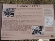
Before we got to Utah we read all about the Pinhook Battle. It was a fight between ranchers and Native Americans where many people were killed from both sides. It happened in this valley, and it was the topic of conversation as we started down. We finished Miners Basin and drove across the pavement to start the trail.

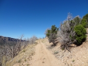
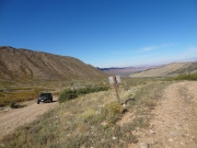
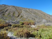
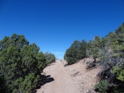
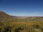
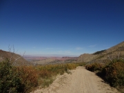
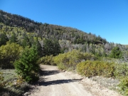
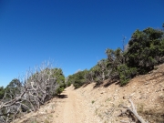
It's a big descent into Pinhook Valley at the start. The highway is much higher than the bottom of the valley, so we had many feet to drop. The trail was well maintained, though, so it was a nice drive.

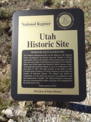
The trail was maintained all the way to the parking area at the battleground memorial -- it wasn't actually maintained once you drove past that spur. We headed to the memorial first and parked at the large, flat parking area. There were a couple signs there that detailed the battle, so we read those before using the footpath to go to the memorial itself.

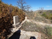
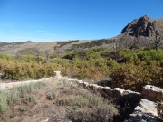
The path wasn't long or strenuous. It looked like there may have been a structure there at one point, because there was a low stone wall that didn't contain anything. Or the wall may enclose graves. There was a marker near the wall that listed the people who died, noting that it was a "massacre" by Indians. To us, it seemed like it was simply a battle. If anyone was at fault, it was the cattlemen. Still, the marker was erected in 1940 so we excused the bit of ignorance.

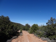
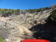
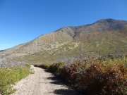
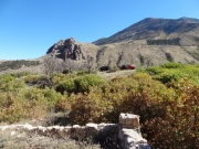
We soon moved on, taking the path that wasn't maintained. That took us through brush and farther into the valley. Porcupine Rim was above and ahead of us, where we'd be later on Sand Flats Road. It would be cool to look down on where we'd been.

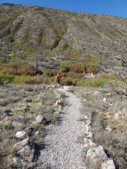
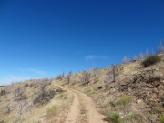
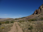
The trail intersected with Porcupine Ranch, the trail we'd do after Pinhook Valley. We passed that and headed up the hill the two trails share. Then we ended up on top of the mesa and heading back down the other side.

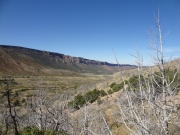
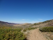
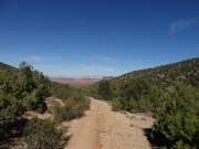
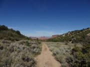
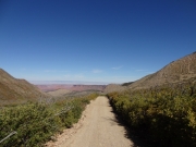
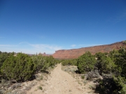
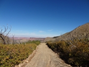
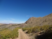
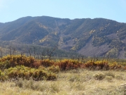
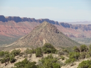
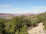
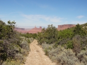
Though it was a fairly straight and mellow trail to the end, the scenery was awesome. We could see the rock formations in Castle Valley ahead of us, and they looked gorgeous under the blue sky. The trees were close in spots, so when we found a wide spot we broke for lunch. Mike played with an RC Jeep for a bit and we had a nice break in the sun.

After lunch, we kept going and found that we were nearly at the end of the trail. It was a pretty interesting trail, too. We popped out onto the pavement and drove a short distance to the trailhead for Porcupine Ranch so we could head back into the valley.

across_the_valley
brush
bumpy
castle_valley_in_sight
climb
desert_views
down_to_the_valley
exposed
grand_view
harpole_mesa
hike_to_the_memorial
historic_site_sign
julie_on_the_trail
little_used
mellow_trail
memorial_part_1
memorial_part_2
memorial_part_3
memorial_part_4
memorial_part_5
narrow
outcropping
pinhook_battle_sign
porcupine_rim
ridge
round_mountain
scenic
see_for_miles
start_of_the_trail
trail_with_a_view
trailhead_sign
two_track
up_the_side
Join Us!
If you aren’t a Member or Subscriber, you can’t see all of the content on this site. Get membership information to see why this site is best when you join and log in

Information for Subscribers

When you log in you’ll see more information here:

  • Recent Community Forum posts
  • Recent polls
  • Upcoming Events you can attend
  • Links to online users

© 2000-2019 · TrailDamage.com · Terms and Conditions · About · Contact
Trail information is only accurate on the date posted. Trails may have changed or closed since that date. Use this information for historical purposes only.
Contact the Forest Service or Bureau of Land Management for up-to-date trail information.

/* ----------------------------------------- */ /* View slug: reports-other-reports-for-same-trail-slider - start */ /* ----------------------------------------- */ /* place the prev/next controls on the sides */ .td-transition-controls .wpv-filter-next-link, .td-transition-controls .wpv-filter-previous-link { border: none; font-size: 300%; position: absolute; top: 70px; } .td-transition-controls .wpv-filter-previous-link { left: 0; } .td-transition-controls .wpv-filter-next-link { right: 0; } /* center the page selector horizonatally */ .td-transition-controls ul.wpv_pagination_dots { text-align: center; margin-top: 10px; } /* center the page selector horizonatally */ .td-transition-controls ul.wpv_pagination_dots li.wpv_pagination_dots_item, .td-transition-controls .wpv_pagination_dots li a { display: inline-block; float: none; } /* remove the default styles */ .td-transition-controls .wpv_pagination_dots li a { text-decoration: none; border-bottom: none; } .td-slider-container { padding: 0 25px; margin-bottom: 20px; position: relative; width:100%; display:table; } .td-slides { position: relative; } .td-slides-image { float:left; display:table-cell; } .td-slides-image img { border:1px solid #c0c0c0; } .td-slides-content { padding:4px 4px 4px 10px; border-top:1px solid #c0c0c0; border-right:1px solid #c0c0c0; border-bottom:1px solid #c0c0c0; display:table-cell; height:227px; overflow:hidden; } .td-slides-content h3 { margin-top:8px; } .td-slides-leader { font-size:smaller; margin-top:4px; } /* ----------------------------------------- */ /* View slug: reports-other-reports-for-same-trail-slider - end */ /* ----------------------------------------- */
/* ----------------------------------------- */ /* Content Template: Template for a Single Report - start */ /* ----------------------------------------- */ .entry-header { display:none; } .entry-content h1 { margin-top:16px; padding-top:0; } h1 a { color:#222; } h1 a:hover { color:#666; } p.entry-meta { font-size:small; } #report-body-spacer { clear:both; width:100%; height:20px; } #addtoany-bar { margin-bottom:2em; text-align:center; } .category-reports .post-info .author, .post-info .date { display: none; } .addthis_recommended_horizontal { text-align:center !important; } /* ----------------------------------------- */ /* Content Template: Template for a Single Report - end */ /* ----------------------------------------- */ /* ----------------------------------------- */ /* Content Template: Loop item in REPORTS Runners - start */ /* ----------------------------------------- */ #runners-container { width:100%; clear:both; } .runner { border:1px solid #c0c0c0; margin:0 6px 6px 0; float:left; width:49%; height:81px; } .runner-image { float: left; } .runner-image img { margin:2px 10px 0 2px; height:75px; width:75px; } .runner-name { text-transform:uppercase; } .runner-name a { color:#222; } .runner-name a:hover { color:#666; } .runner-vehicle { font-size:small; } @media only screen and (max-width: 768px) { .runner { width:100%; } } /* ----------------------------------------- */ /* Content Template: Loop item in REPORTS Runners - end */ /* ----------------------------------------- */