TrailDamage.com

Photos, videos and information about 4x4 trails in Colorado and Utah

  • Trails
    • Colorado
    • Utah
  • Reports
    • Featured Photos
    • Reports Calendar
  • Members
  • Search
  • FAQ
  • Community
  • Upcoming Events
  • Membership
  • Log In
  • Facebook
  • Instagram
  • RSS
  • Twitter
  • YouTube
  • Trails
    • Colorado
    • Utah
  • Reports
    • Featured Photos
    • Reports Calendar
  • Members
  • Search
  • FAQ
  • Community
  • Upcoming Events
  • Membership
  • Log In

Pine Creek Road 140530

May 30, 2014 by Mike Shannon

Pine Creek Road

Trail Run on May 30, 2014
Report and photos by Mike S., Trail Leader
View trail information for Pine Creek Road

Walt S.
Gray 2022 Jeep Wrangler Unlimited Rubicon 392
Mike S.
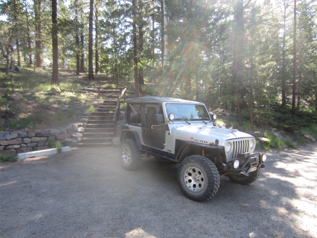
Silver 2004 Jeep Wrangler Rubicon

It was day four of our Escalante-based trip and the group's plan was to tour Bryce Canyon. Mike and Walt, however, decided to go off and explore some more trails. We were going to run Hell's Backbone and the Burr Trail, and Pine Creek Road was our route to Hell's Backbone so we ran it first. We said goodbye to the group at our usual meeting place and headed off to find the trail.

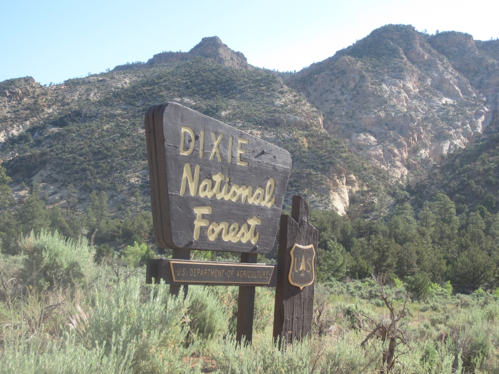
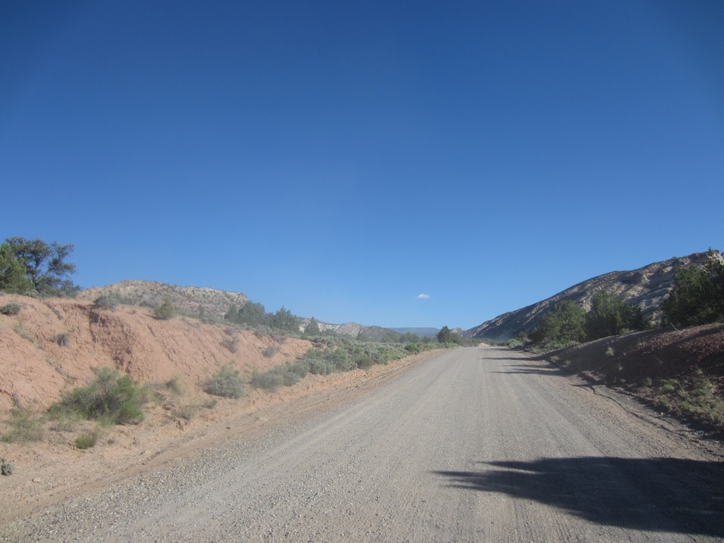
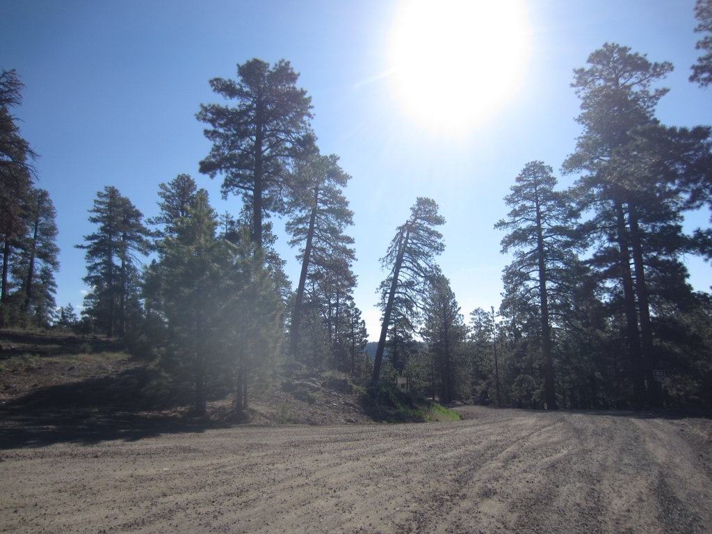
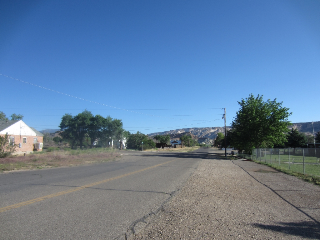
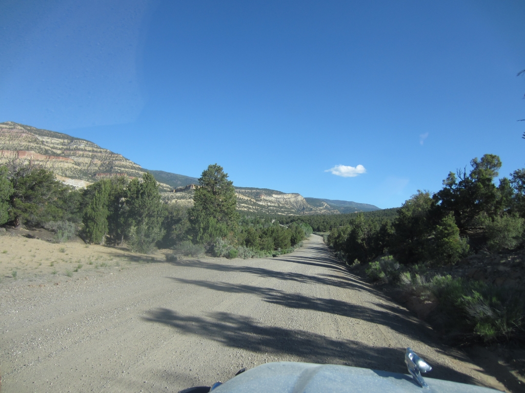
The road started out paved, but soon turned to gravel outside of town. The surface was smooth and well-graded and would stay that way for the whole trail. We drove through the ranchlands and were soon up into the pine forests of Dixie National Forest, where the air was decidedly cooler than in town.

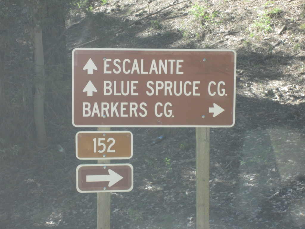
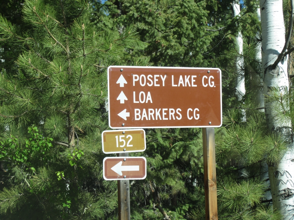
When we reached the intersection where Pine Creek Road (Also called Posey Lake Road) continued north and Hell's Backbone turned east, we stopped to decide which way to go. Walt noticed that smoke was coming from under Mike's Jeep, so we tried to figure out where it was coming from. It appeared that oil from the transfer case was leaking, and some had flashed on a hot surface. The smoke soon stopped, and nothing was dripping, so we continued on to Posey Lake. There was no further trouble from the leak for the rest of the trip, so that was good!

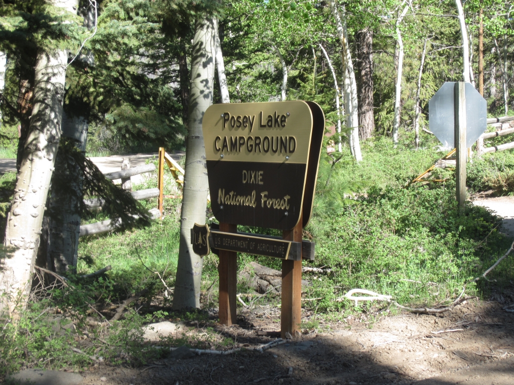
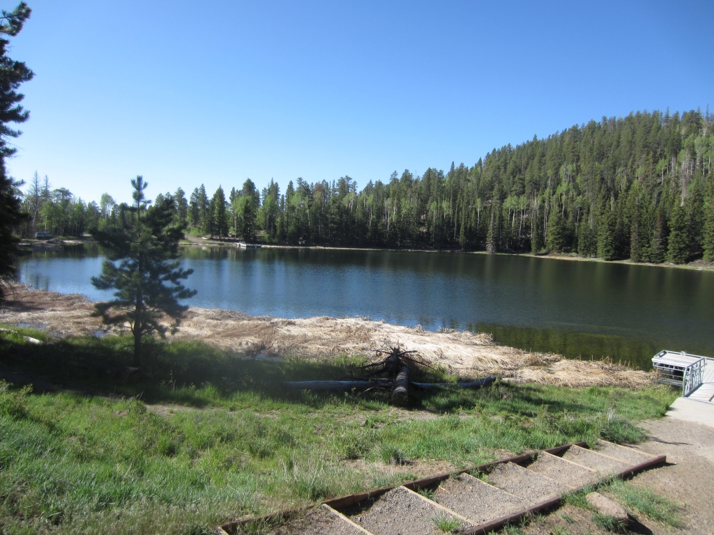
We stopped at Posey Lake to check out the campground. It would be a great option to camp out of the heat at lower elevations, and it wasn't busy. It would be good to keep in mind for future trips.

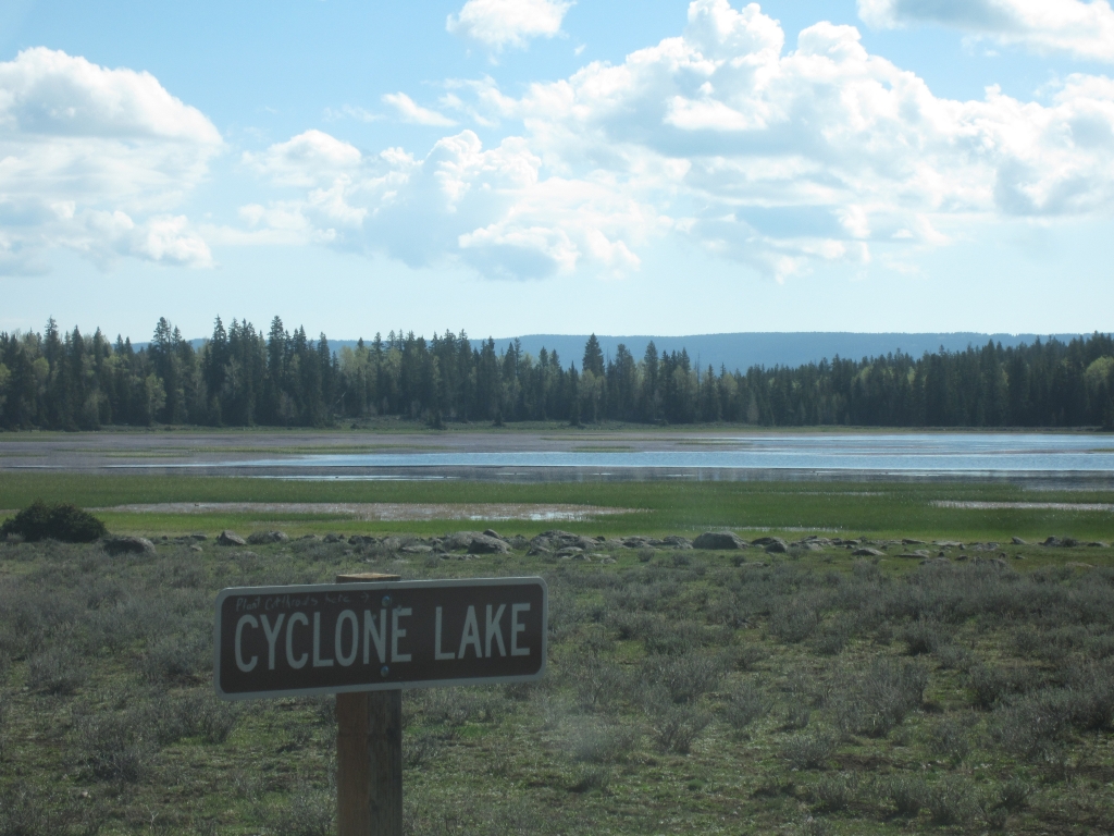
We went up to Cyclone Lake and to the end of the trail and then turned around, stopping to read the plaque about the young mother freezing on Christmas Eve in 1939. After that we were soon back at the intersection with Hell's Backbone.
below_posey_lake
bluffs_ahead
cyclone_lake
dixie_national_forest
gravel_road
historical_marker
mike_at_posey_lake
near_cyclone_lake
pine_forest
posey_lake_campground_sign
posey_lake_part_1
posey_lake_part_2
posey_lake_road_and_hells_backbone
sign
start_of_the_trail
walt_at_posey_lake
Join Us!
If you aren’t a Member or Subscriber, you can’t see all of the content on this site. Get membership information to see why this site is best when you join and log in

Information for Subscribers

When you log in you’ll see more information here:

  • Recent Community Forum posts
  • Recent polls
  • Upcoming Events you can attend
  • Links to online users

© 2000-2026 · TrailDamage.com · Terms and Conditions · About · Contact
Trail information is only accurate on the date posted. Trails may have changed or closed since that date. Use this information for historical purposes only.
Contact the Forest Service or Bureau of Land Management for up-to-date trail information.