TrailDamage.com

Photos, videos and information about 4x4 trails in Colorado and Utah

  • Trails
    • Colorado
    • Utah
  • Reports
    • Featured Photos
    • Featured Videos
    • Reports Calendar
  • Members
  • Search
  • Trail Damage Winners
  • FAQ
  • Community
  • Upcoming Events
  • Membership
  • Log In
  • Facebook
  • Instagram
  • RSS
  • Twitter
  • YouTube

Miners Basin 151009

October 9, 2015 by Monica

Miners Basin

Trail Run on October 9, 2015
Report and photos by Monica I., Trail Leader
View trail information for Miners Basin

Monica I.
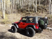
Red 2010 Jeep Wrangler Rubicon
Roger R.
Gray 2021 Jeep Wrangler Rubicon 4xe
Julie M.
Green 2012 Jeep Wrangler Unlimited Rubicon
Mike S.
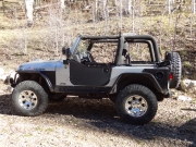
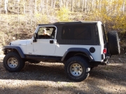
Silver 2004 Jeep Wrangler Rubicon

We were calling this trip to Utah "Classic Moab" because we were going to hit some old favorites along with a few new trails. We like exploring new areas, so we haven't seen some of the more popular trails in a while. This trip was going to be like the old days.

We all went to Moab separately instead of in one, big group like we usually do. Mike and Roger ended up in Moab in the early afternoon, but Monica and Julie left in the late morning. Construction delays in three separate spots on I-70 made the drive take over nine hours when it usually takes about six. That meant we missed a group dinner, so we were happy to see each other in the morning.

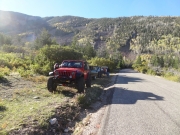
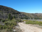
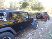
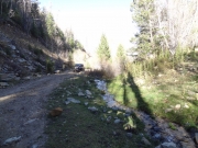
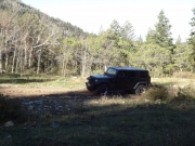
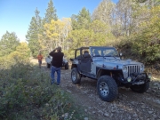
We'd start the trip with some new trails. The trailhead for Miners Basin was on the other side of Castle Valley, and there are a few ways to get there. We opted to go the southern route to get some good scenery, and we really enjoyed the trip. There was a wide spot next to the pavement near the trailhead where we aired down, and then we headed up the trail.

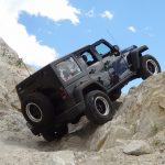
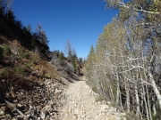
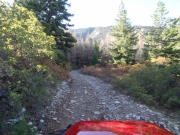
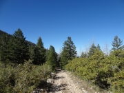
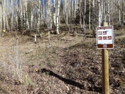
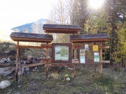
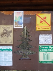
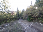
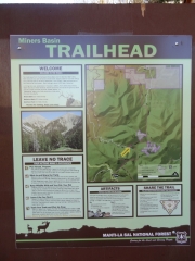
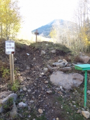
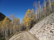
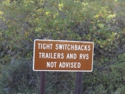
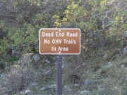
The trailhead has a funny sign noting that RVs aren't recommended -- funny to us, anyway. This definitely isn't an RV trail. It wasn't hugely challenging, but it was steep and loose in spots, with switchbacks.

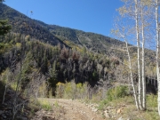
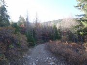
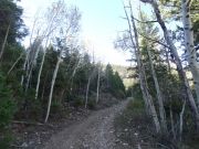
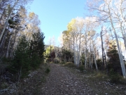
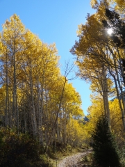
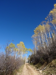
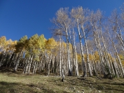
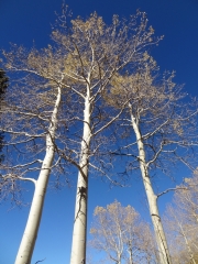
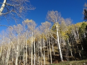
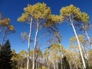
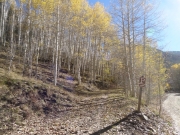
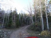
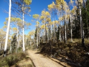
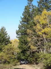
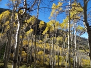
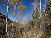
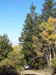
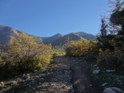
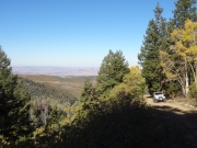
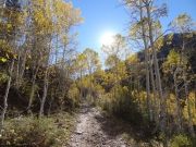
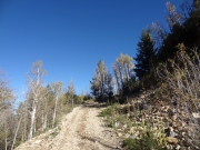
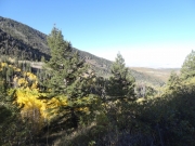
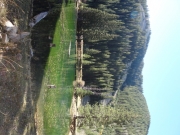
It was early in the morning, and the trail was mostly in the shade. There were trees on both sides that were big and healthy. It started off as mostly pine trees, but then it switched to aspens as we got higher along the trail.

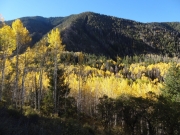
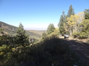
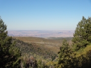
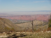
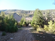
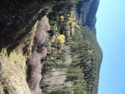
There was a spot where we could see the valleys below us, so we stopped there for a while to take pictures and chat in the perfect weather. The views of where we'd be going later made us look forward to the day even more.

We took a lot of pictures on the way, but it wasn't long before we were at the big parking lot at the top. We hung out there for a while, just taking in the scenery and considering hiking up to the old town site. In the end, though, we had a lot to see on our first day in Utah for this trip so we decided to head back down. On to the next trail!

airing_down
around_a_bend
ascent
aspens_part_1
aspens_part_2
aspens_part_3
aspens_part_4
aspens_part_5
aspens_part_6
aspens_part_7
aspens_part_8
aspens_part_9
bachelor_basin_hiking_trail
back_to_the_trailhead
bumpiest_section
bumpy_climb
castle_valley
colorful_below
curve
easy_trail
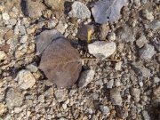
fallen_aspen_leaf
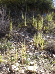
foliage
greens
hiking
hole_in_rock
julie_and_monica
julie_at_the_top
julie_in_the_trees
julie_next_to_pinhook_creek
julie_on_the_trail
kiosk_part_1
kiosk_part_2
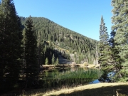
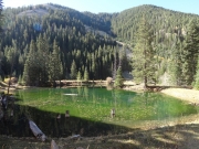
lake_part_1
lake_part_2
lake_part_3
layers
lush_autumn
mellow_trail
mike_and_roger
mike_at_the_top
mike_in_the_trees
miners_basin_hiking_trail_sign
miners_basin_hiking_trail
monica_at_the_top
morning_scenery
pinhook_valley
rocks
roger_at_the_top
roger_on_the_trail
round_mountain
shelf
sun_through_aspens
sunshine
switchback_ahead
taking_pictures
trailhead_sign_1
trailhead_sign_2
trailhead_sign_3
valley_below
varied_valley
Join Us!
If you aren’t a Member or Subscriber, you can’t see all of the content on this site. Get membership information to see why this site is best when you join and log in

Information for Subscribers

When you log in you’ll see more information here:

  • Recent Community Forum posts
  • Recent polls
  • Upcoming Events you can attend
  • Links to online users

© 2000-2022 · TrailDamage.com · Terms and Conditions · About · Contact
Trail information is only accurate on the date posted. Trails may have changed or closed since that date. Use this information for historical purposes only.
Contact the Forest Service or Bureau of Land Management for up-to-date trail information.

/* ----------------------------------------- */ /* View slug: reports-other-reports-for-same-trail-slider - start */ /* ----------------------------------------- */ /* place the prev/next controls on the sides */ .td-transition-controls .wpv-filter-next-link, .td-transition-controls .wpv-filter-previous-link { border: none; font-size: 300%; position: absolute; top: 70px; } .td-transition-controls .wpv-filter-previous-link { left: 0; } .td-transition-controls .wpv-filter-next-link { right: 0; } /* center the page selector horizonatally */ .td-transition-controls ul.wpv_pagination_dots { text-align: center; margin-top: 10px; } /* center the page selector horizonatally */ .td-transition-controls ul.wpv_pagination_dots li.wpv_pagination_dots_item, .td-transition-controls .wpv_pagination_dots li a { display: inline-block; float: none; } /* remove the default styles */ .td-transition-controls .wpv_pagination_dots li a { text-decoration: none; border-bottom: none; } .td-slider-container { padding: 0 25px; margin-bottom: 20px; position: relative; width:100%; display:table; } .td-slides { position: relative; } .td-slides-image { float:left; display:table-cell; } .td-slides-image img { border:1px solid #c0c0c0; } .td-slides-content { padding:4px 4px 4px 10px; border-top:1px solid #c0c0c0; border-right:1px solid #c0c0c0; border-bottom:1px solid #c0c0c0; display:table-cell; height:227px; overflow:hidden; } .td-slides-content h3 { margin-top:8px; } .td-slides-leader { font-size:smaller; margin-top:4px; } /* ----------------------------------------- */ /* View slug: reports-other-reports-for-same-trail-slider - end */ /* ----------------------------------------- */
/* ----------------------------------------- */ /* Content Template: Template for a Single Report - start */ /* ----------------------------------------- */ .entry-header { display:none; } .entry-content h1 { margin-top:16px; padding-top:0; } h1 a { color:#222; } h1 a:hover { color:#666; } p.entry-meta { font-size:small; } #report-body-spacer { clear:both; width:100%; height:20px; } #addtoany-bar { margin-bottom:2em; text-align:center; } .category-reports .post-info .author, .post-info .date { display: none; } .addthis_recommended_horizontal { text-align:center !important; } /* ----------------------------------------- */ /* Content Template: Template for a Single Report - end */ /* ----------------------------------------- */ /* ----------------------------------------- */ /* Content Template: Loop item in REPORTS Runners - start */ /* ----------------------------------------- */ #runners-container { width:100%; clear:both; } .runner { border:1px solid #c0c0c0; margin:0 6px 6px 0; float:left; width:49%; height:81px; } .runner-image { float: left; } .runner-image img { margin:2px 10px 0 2px; height:75px; width:75px; } .runner-name { text-transform:uppercase; } .runner-name a { color:#222; } .runner-name a:hover { color:#666; } .runner-vehicle { font-size:small; } @media only screen and (max-width: 768px) { .runner { width:100%; } } /* ----------------------------------------- */ /* Content Template: Loop item in REPORTS Runners - end */ /* ----------------------------------------- */