TrailDamage.com

Photos, videos and information about 4x4 trails in Colorado and Utah

  • Trails
    • Colorado
    • Utah
  • Reports
    • Featured Photos
    • Featured Videos
    • Reports Calendar
  • Members
  • Search
  • Trail Damage Winners
  • FAQ
  • Community
  • Upcoming Events
  • Membership
  • Log In
  • Facebook
  • Instagram
  • RSS
  • Twitter
  • YouTube

Left Hand Collet Canyon 140531

May 31, 2014 by Monica

Left Hand Collet Canyon

Trail Run on May 31, 2014
Report and photos by Monica I., Trail Leader
View trail information for Left Hand Collet Canyon

Matt K.
White 2016 Jeep Wrangler Unlimited Rubicon
Julie M.
Green 2012 Jeep Wrangler Unlimited Rubicon
Mike S.
Silver 2004 Jeep Wrangler Rubicon
Monica I.
Red 2010 Jeep Wrangler Rubicon
Bill S.
Yellow 2020 Jeep Wrangler Rubicon
Walt S.
Gray 2022 Jeep Wrangler Unlimited Rubicon 392

We'd spent most of our vacation in the Grand Staircase-Escalante National Monument. This final day of wheeling promised to be the one with the most mileage, and we planned on getting close to the water of Lake Powell in Glen Canyon National Recreation Area. We left Escalante at 8:30 and got back to Escalante at 11:30 that night, driving practically the entire time.

We weren't looking forward to doing the washboards at the start of Hole In The Rock Road again, but we had to in order to get to Left Hand Collet Canyon. It seemed to go by quickly, though, so it was okay.

We started out on the old trail into the canyon and soon found it washed out and blocked off. The new trail was big, maintained, and within sight so we knew right away that the one we were on was dead. However, we wanted to get to the Twentymile Wash Dinosaur Tracks and we weren't exactly sure where they were. We knew they were up on the slickrock above us, but where?

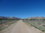
We ran out of options so we went back out to Hole In The Rock Road and the actual trail. It was much easier. We only went a short distance to find the other side of the old trail, and that took us closer to the slickrock again.

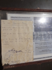
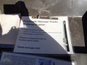
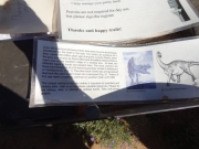
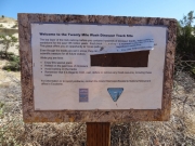
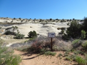
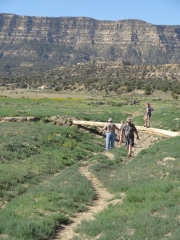
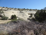
We found a metal stand with handwritten instructions for finding a second metal sign closer to the tracks. We drove around to that one and parked, and some of us walked up to the top. We had to walk around for a bit to find them, as they were raised and filled in rather than dips in the slickrock like we've seen before. Pretty cool!

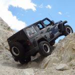
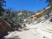
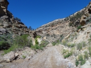
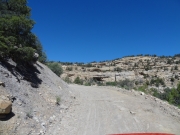
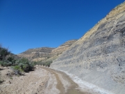
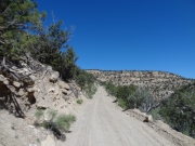
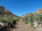
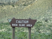
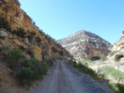
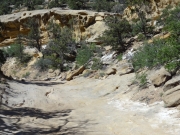
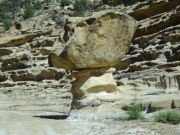
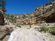
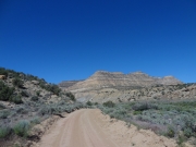
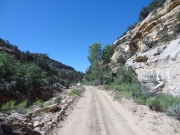
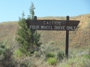
We were eventually back on the trail and into the canyon. We had seen reports of big rocks in there, but when we got there we didn't find anything other than a warning sign. The trail was fairly easy and shaded in many spots. It was a really nice canyon.

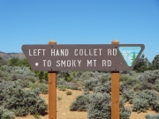
When we got to the intersection with Croton Road, some of the group waited there while others went to the end of the trail at Smoky Mountain Road and back. We had been by there a few days earlier.

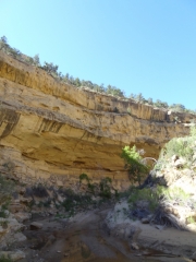
We hung out for a bit at the trailhead for Croton Road, enjoying the solitude. Left Hand Collet Canyon was nice and too short. It was definitely a fun way through the Straight Cliffs.

bright
bumpy
canyon_trail
curve
desert_under_blue_sky
dinosaur_tracks_info_1_part_1
dinosaur_tracks_info_1_part_2
dinosaur_tracks_info_1_part_3
dinosaur_tracks_info_2_part_1
dinosaur_tracks_info_2_part_2
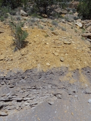
layered
old_closed_trail
out_of_the_canyon
overhang
puddles
purple_flowers
rock_slide_gone
shade
sign_at_smoky_mountain_road
slickrock
spire_part_1
spire_part_2
standing_on_dinosaur_tracks
start_of_the_trail
straight_cliffs
to_the_dinosaur_tracks
trail_number
trees
warning_sign
yellow_and_gray
Join Us!
If you aren’t a Member or Subscriber, you can’t see all of the content on this site. Get membership information to see why this site is best when you join and log in

Information for Subscribers

When you log in you’ll see more information here:

  • Recent Community Forum posts
  • Recent polls
  • Upcoming Events you can attend
  • Links to online users

© 2000-2022 · TrailDamage.com · Terms and Conditions · About · Contact
Trail information is only accurate on the date posted. Trails may have changed or closed since that date. Use this information for historical purposes only.
Contact the Forest Service or Bureau of Land Management for up-to-date trail information.

/* ----------------------------------------- */ /* View slug: reports-other-reports-for-same-trail-slider - start */ /* ----------------------------------------- */ /* place the prev/next controls on the sides */ .td-transition-controls .wpv-filter-next-link, .td-transition-controls .wpv-filter-previous-link { border: none; font-size: 300%; position: absolute; top: 70px; } .td-transition-controls .wpv-filter-previous-link { left: 0; } .td-transition-controls .wpv-filter-next-link { right: 0; } /* center the page selector horizonatally */ .td-transition-controls ul.wpv_pagination_dots { text-align: center; margin-top: 10px; } /* center the page selector horizonatally */ .td-transition-controls ul.wpv_pagination_dots li.wpv_pagination_dots_item, .td-transition-controls .wpv_pagination_dots li a { display: inline-block; float: none; } /* remove the default styles */ .td-transition-controls .wpv_pagination_dots li a { text-decoration: none; border-bottom: none; } .td-slider-container { padding: 0 25px; margin-bottom: 20px; position: relative; width:100%; display:table; } .td-slides { position: relative; } .td-slides-image { float:left; display:table-cell; } .td-slides-image img { border:1px solid #c0c0c0; } .td-slides-content { padding:4px 4px 4px 10px; border-top:1px solid #c0c0c0; border-right:1px solid #c0c0c0; border-bottom:1px solid #c0c0c0; display:table-cell; height:227px; overflow:hidden; } .td-slides-content h3 { margin-top:8px; } .td-slides-leader { font-size:smaller; margin-top:4px; } /* ----------------------------------------- */ /* View slug: reports-other-reports-for-same-trail-slider - end */ /* ----------------------------------------- */
/* ----------------------------------------- */ /* Content Template: Template for a Single Report - start */ /* ----------------------------------------- */ .entry-header { display:none; } .entry-content h1 { margin-top:16px; padding-top:0; } h1 a { color:#222; } h1 a:hover { color:#666; } p.entry-meta { font-size:small; } #report-body-spacer { clear:both; width:100%; height:20px; } #addtoany-bar { margin-bottom:2em; text-align:center; } .category-reports .post-info .author, .post-info .date { display: none; } .addthis_recommended_horizontal { text-align:center !important; } /* ----------------------------------------- */ /* Content Template: Template for a Single Report - end */ /* ----------------------------------------- */ /* ----------------------------------------- */ /* Content Template: Loop item in REPORTS Runners - start */ /* ----------------------------------------- */ #runners-container { width:100%; clear:both; } .runner { border:1px solid #c0c0c0; margin:0 6px 6px 0; float:left; width:49%; height:81px; } .runner-image { float: left; } .runner-image img { margin:2px 10px 0 2px; height:75px; width:75px; } .runner-name { text-transform:uppercase; } .runner-name a { color:#222; } .runner-name a:hover { color:#666; } .runner-vehicle { font-size:small; } @media only screen and (max-width: 768px) { .runner { width:100%; } } /* ----------------------------------------- */ /* Content Template: Loop item in REPORTS Runners - end */ /* ----------------------------------------- */