Jarosa Mesa
This was going to be a day of exploring. There are lots of lakes near Lake City (explaining the city's name) and topo maps showed trails near them. But we knew from experience that scenic areas near highways are often residential areas, so we also knew that we might not find any trails when we got there. Still, it's about the journey and not the destination.
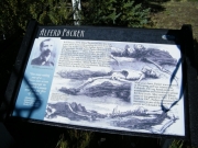
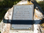
We were going to pass the Alferd Packer memorial site on the way to the trailhead, so we stopped there first. There were some informational signs and a plaque with a small pull-out area. It was right in the middle of a residential area, which was odd. Still, it's an interesting story and we were glad to stop and check it out.
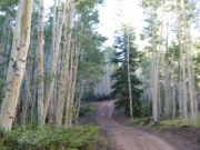
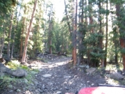
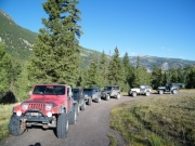
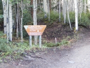
The trailhead snuck up on us, but it was easy to spot. It started uphill right away, and we could see ruts in the dirt where people had recently wrestled with mud. It must have been an ugly climb in spots, and there was obvious work involved.
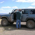
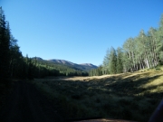
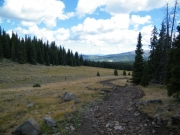
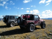
We all had a good time with the climb even though it was pretty dry. When we popped out onto Ramboullet Park we stopped and everyone got out to stretch their legs. It was gorgeous, though it was still a bit chilly that morning.
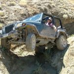
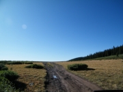
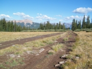
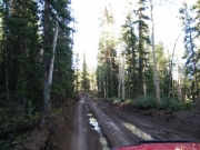
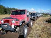
We soon continued on, and we found the remaining mud. It was fun trying to keep our vehicles straight on the trail as the muddy ruts forced us sideways in places. Good times!
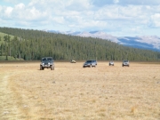
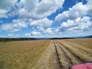
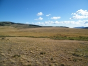
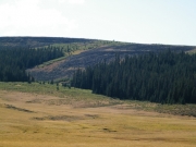
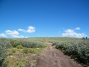
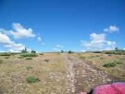
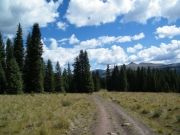
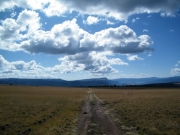
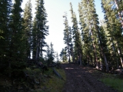
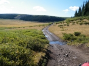
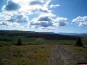
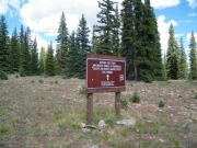
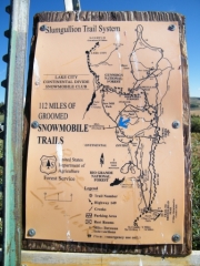
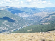
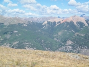
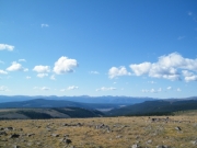
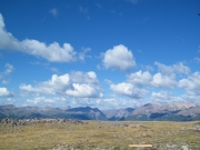
We soon started climbing to near timberline and the trees were getting scarce. We followed the trail around a stand of pine trees and soon found ourselves looking out on Jarosa Mesa. We talked about how it looked like Windows wallpaper -- big scenery and gorgeous skies. We found a sign marking snowmobile trails and the way up Hill Seventyone. It wasn't what we had on our maps, but we followed it up.
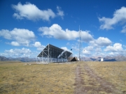
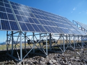
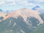
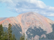
It was bumpy climbing to the top, but the spur was fairly short. When we got to the top, we found lots of equipment along with big solar panels. The views were incredible on all sides. It was windy, though, and pretty chilly.
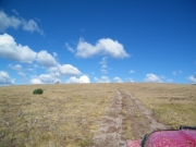
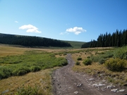
We worked our way back down to the intersection and started looking for an intersection with another trail we had found on the topo maps that would take us down to the Pearl Lakes. When we got there in the middle of the mesa we couldn't find an existing trail. We found what probably used to be the trail, but it hadn't been used in a very long time. So instead of taking that trail we continued along over the mesa.
It was beautiful the entire time. It was also one of the few places where a vehicular trail shares its space with the Colorado Trail, a popular and very long hiking trail. In fact, we found two hikers walking in the other direction, happily exploring.
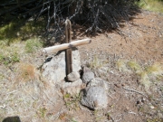
We stopped at the grave site, wondering about its history. The marker had interesting patterns of nails along it, but we couldn't make anything of it. There were also remnants of what seemed to be a fence that probably enclosed the small area. It left a lot of questions unanswered.
We continued to follow the trail, spotting deer to the sides. The descent was easy and mellow, and we soon found ourselves at the camp site. We stopped to use the pit toilets and discuss our plan. Mike had explored the area before with Roger, and he knew about the Heart Lake trail near Pearl Lakes. Additionally, we had seen its other end the day before on Wager Gulch. We weren't going to connect to that spur as we had hoped, so we adjusted our plan and headed out to Pearl Lakes via the pavement instead.
It's definitely about the journey and not about the destination, and we were already having a memorable journey.
