TrailDamage.com

Photos, videos and information about 4x4 trails in Colorado and Utah

  • Trails
    • Colorado
    • Utah
  • Reports
    • Featured Photos
    • Featured Videos
    • Reports Calendar
  • Members
  • Search
  • Trail Damage Winners
  • FAQ
  • Community
  • Upcoming Events
  • Membership
  • Log In
  • Facebook
  • Instagram
  • RSS
  • Twitter
  • YouTube

Hohnholz Lakes 110716

July 16, 2011 by Monica

Hohnholz Lakes

Trail Run on July 16, 2011
Report and photos by Monica I., Trail Leader
View trail information for Hohnholz Lakes

Austin C.
Khaki 2004 Jeep Wrangler Unlimited Rubicon
Walt S.
Gray 2018 Jeep Wrangler Unlimited Rubicon
Monica I.
Red 2010 Jeep Wrangler Rubicon
Mike S.
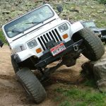
Silver 2004 Jeep Wrangler Rubicon
Katie L.
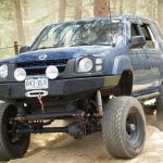
Blue 2004 Nissan Xterra

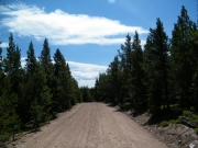
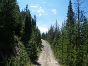
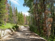
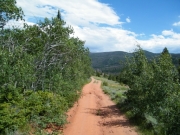
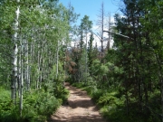
We took the Mendenhall trail to the end at the big intersection and then headed down Hohnholz Lakes from the end to the trailhead. Along the way we thought we'd see intersections with other trails. It wasn't meant to be.

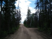
The first intersection we were looking for was one that would take us into the Old Roach aread of Roosevelt National Park, trails that promised to take us all the way up to Wyoming. Unfortunately, that intersection was long gone and closed. It looked like it hadn't been used for a long, long time.

We kept heading down to the lakes, looking for another intersection that would take us to trails that snaked along the border between Larimer and Jackson counties. Those trails also didn't exist anymore. What a bummer.

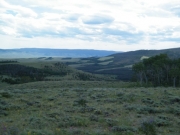
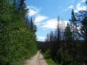
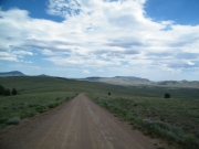
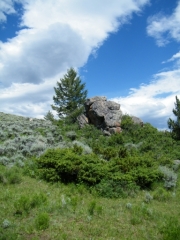
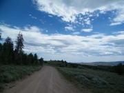
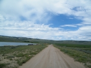
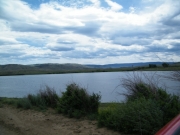
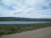
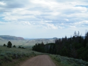
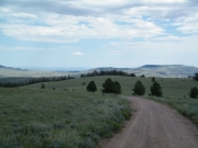
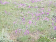
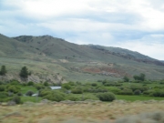
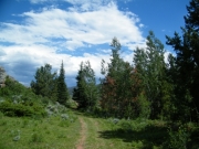
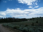
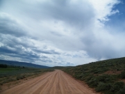
So we ended up just heading all the way down to the lakes. Coming out of the trees, we were treated to amazing views of the valley below us as we descended. It was absolutely gorgeous. We saw more campers and more people out exploring as we got closer to the trailhead.

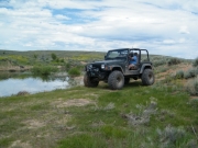
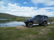
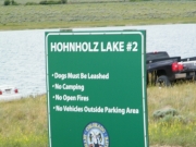
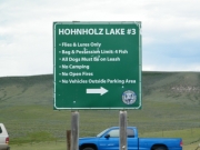
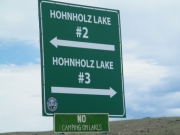
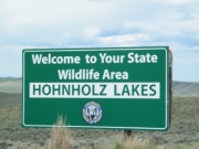
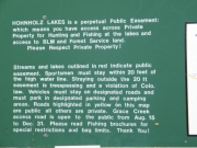
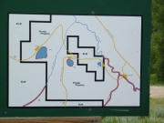
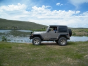
We stopped at the big lake, Hohnholz Lake, for a short break. It was nice to stop but there were lots of people in the parking area and fishing on the lake so we decided not to stop there for lunch. We stopped to look at the other two lakes on the way out but we didn't get out of our vehicles.

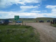
When we got out to the trailhead we headed south on Laramie River Road to check out other possible trails. We stopped at the trailhead for Bull Mountain Road but we decided to keep going, planning on coming back there later.

We drove by a couple other possible trails but they were all owned by the ranches in the area. Apparently only the Hohnholz Lakes trail gives you access to the Medicine Bow Mountains from Laramie River Road. It was a bummer but at least now we know.

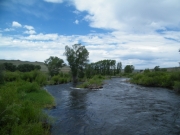
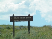
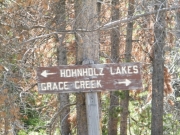
We headed back up to do Bull Mountain Road. After that we did Hohnholz Lakes again in the usual direction. We didn't stop at the lakes but we did venture down a spur marked Grace Creek. It was a nice descent and we hoped to be able to cross the creek at some point but the trail dead-ended at a big drop off at the creek. Turning around there was tight but we all eventually got back to the main trail.

It was a lot of exploring but we know the area pretty well now. It was worth it.

austin_next_to_lake_number_1
big_view
blue_sky
colorful
distant_hills
easy_trail
greens
hill_climb
intersection
into_the_valley
katie_next_to_lake_number_1
lake_number_2_sign
lake_number_2
lake_number_3_parking
lake_number_3_part_1
lake_number_3_part_2
lake_number_3_sign
laramie_river
layers
live_and_dead_trees
lush
old_barn
purple_flowers
rolling_hills
sign_for_directions
sign_for_spur
spur_part_1
spur_part_2
spur_part_3
trail_ahead
trail_near_the_start
trail_sign_part_1
trail_sign_part_2
trail_sign_part_3
trail_sign_part_4
trailhead_sign_part_1
trailhead_sign_part_2
trailhead_sign_part_3
walt_next_to_lake_number_1
Join Us!
If you aren’t a Member or Subscriber, you can’t see all of the content on this site. Get membership information to see why this site is best when you join and log in
Information for Subscribers

When you log in you’ll see more information here:

  • Recent Community Forum posts
  • Recent polls
  • Upcoming Events you can attend
  • Links to online users

© 2000-2021 · TrailDamage.com · Terms and Conditions · About · Contact
Trail information is only accurate on the date posted. Trails may have changed or closed since that date. Use this information for historical purposes only.
Contact the Forest Service or Bureau of Land Management for up-to-date trail information.

/* ----------------------------------------- */ /* View slug: reports-other-reports-for-same-trail-slider - start */ /* ----------------------------------------- */ /* place the prev/next controls on the sides */ .td-transition-controls .wpv-filter-next-link, .td-transition-controls .wpv-filter-previous-link { border: none; font-size: 300%; position: absolute; top: 70px; } .td-transition-controls .wpv-filter-previous-link { left: 0; } .td-transition-controls .wpv-filter-next-link { right: 0; } /* center the page selector horizonatally */ .td-transition-controls ul.wpv_pagination_dots { text-align: center; margin-top: 10px; } /* center the page selector horizonatally */ .td-transition-controls ul.wpv_pagination_dots li.wpv_pagination_dots_item, .td-transition-controls .wpv_pagination_dots li a { display: inline-block; float: none; } /* remove the default styles */ .td-transition-controls .wpv_pagination_dots li a { text-decoration: none; border-bottom: none; } .td-slider-container { padding: 0 25px; margin-bottom: 20px; position: relative; width:100%; display:table; } .td-slides { position: relative; } .td-slides-image { float:left; display:table-cell; } .td-slides-image img { border:1px solid #c0c0c0; } .td-slides-content { padding:4px 4px 4px 10px; border-top:1px solid #c0c0c0; border-right:1px solid #c0c0c0; border-bottom:1px solid #c0c0c0; display:table-cell; height:227px; overflow:hidden; } .td-slides-content h3 { margin-top:8px; } .td-slides-leader { font-size:smaller; margin-top:4px; } /* ----------------------------------------- */ /* View slug: reports-other-reports-for-same-trail-slider - end */ /* ----------------------------------------- */
/* ----------------------------------------- */ /* Content Template: Template for a Single Report - start */ /* ----------------------------------------- */ .entry-header { display:none; } .entry-content h1 { margin-top:16px; padding-top:0; } h1 a { color:#222; } h1 a:hover { color:#666; } p.entry-meta { font-size:small; } #report-body-spacer { clear:both; width:100%; height:20px; } #addtoany-bar { margin-bottom:2em; text-align:center; } .category-reports .post-info .author, .post-info .date { display: none; } .addthis_recommended_horizontal { text-align:center !important; } /* ----------------------------------------- */ /* Content Template: Template for a Single Report - end */ /* ----------------------------------------- */ /* ----------------------------------------- */ /* Content Template: Loop item in REPORTS Runners - start */ /* ----------------------------------------- */ #runners-container { width:100%; clear:both; } .runner { border:1px solid #c0c0c0; margin:0 6px 6px 0; float:left; width:49%; height:81px; } .runner-image { float: left; } .runner-image img { margin:2px 10px 0 2px; height:75px; width:75px; } .runner-name { text-transform:uppercase; } .runner-name a { color:#222; } .runner-name a:hover { color:#666; } .runner-vehicle { font-size:small; } @media only screen and (max-width: 768px) { .runner { width:100%; } } /* ----------------------------------------- */ /* Content Template: Loop item in REPORTS Runners - end */ /* ----------------------------------------- */