
TrailDamage.com

Photos, videos and information about 4x4 trails in Colorado and Utah

  • Trails
    • Colorado
    • Utah
  • Reports
    • Featured Photos
    • Reports Calendar
  • Members
  • Search
  • FAQ
  • Community
  • Upcoming Events
  • Membership
  • Log In
  • Facebook
  • Instagram
  • RSS
  • Twitter
  • YouTube
  • Trails
    • Colorado
    • Utah
  • Reports
    • Featured Photos
    • Reports Calendar
  • Members
  • Search
  • FAQ
  • Community
  • Upcoming Events
  • Membership
  • Log In

Hayden Pass 230618

June 18, 2023 by Matt Kuczborski

Hayden Pass

Trail Run on June 18, 2023
Report and photos by Matt K., Trail Leader
View trail information for Hayden Pass

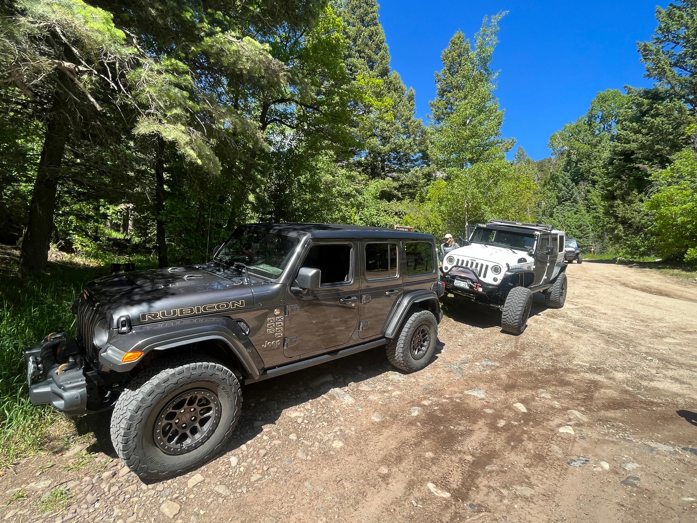
Walt S.
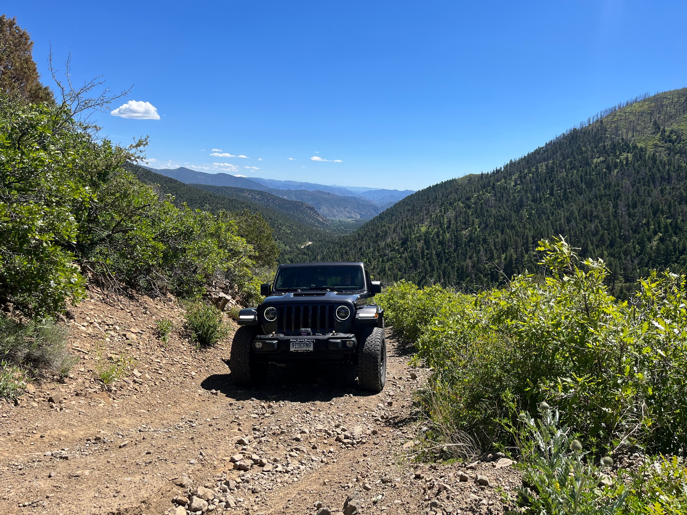
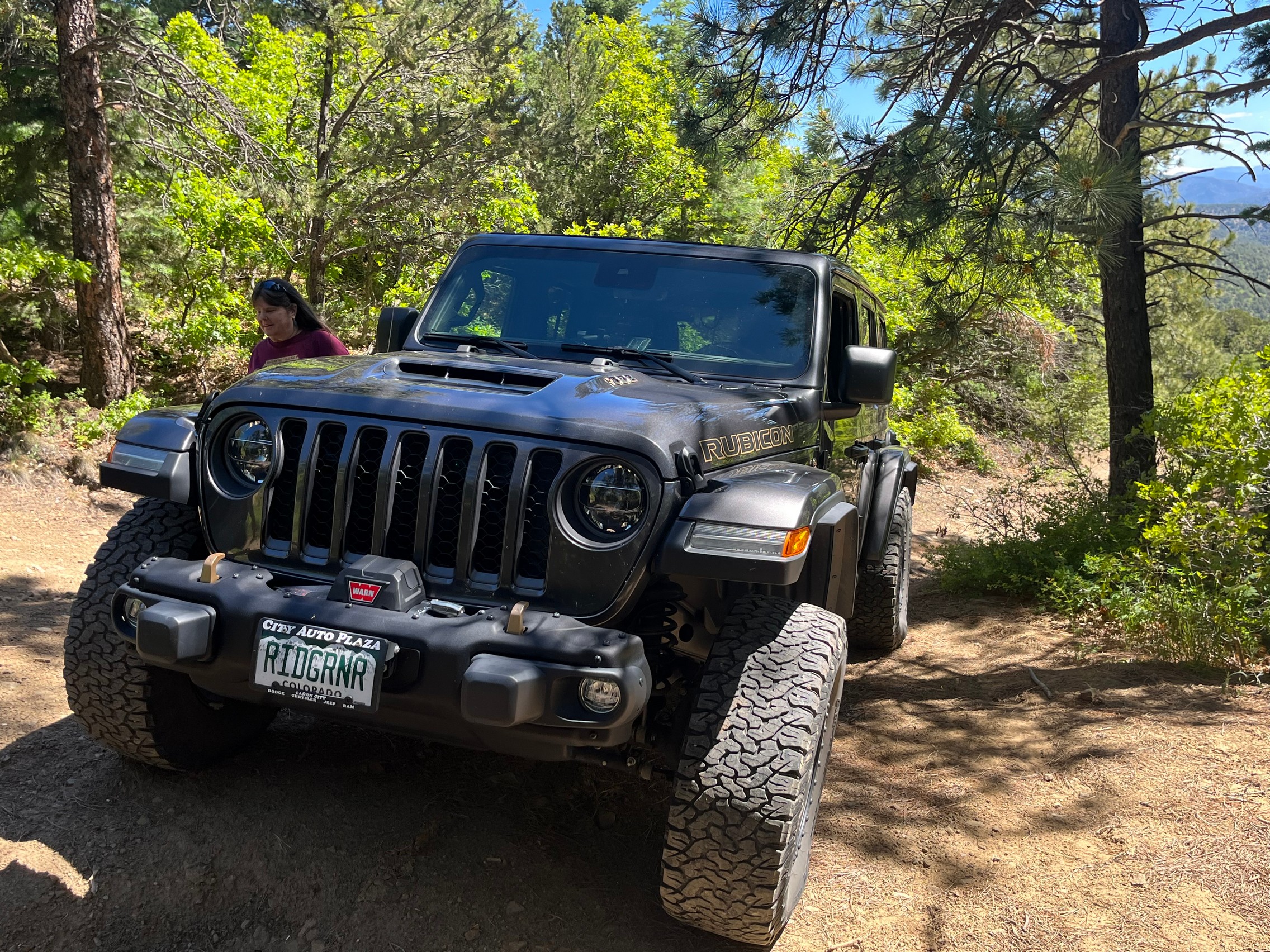
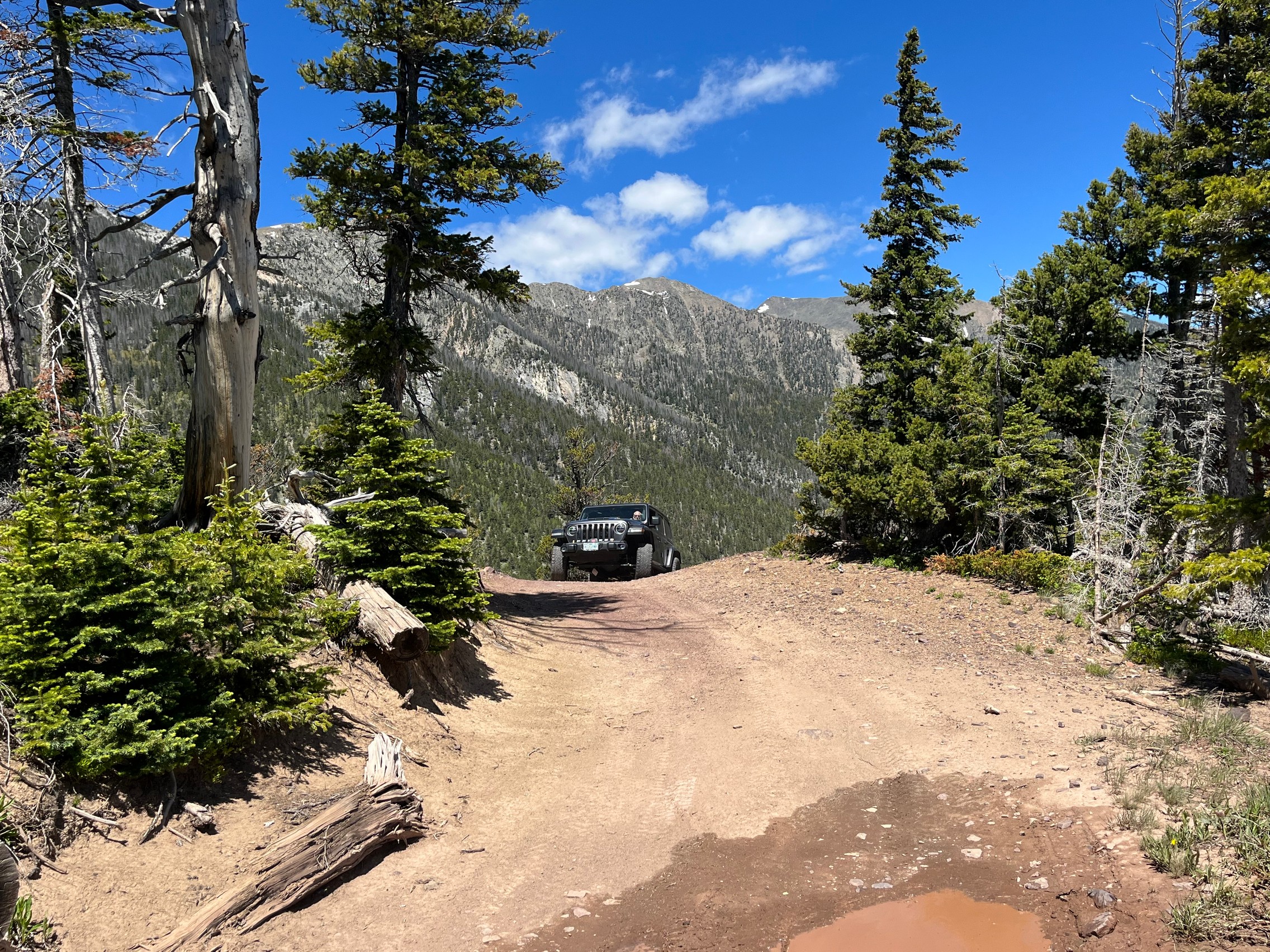
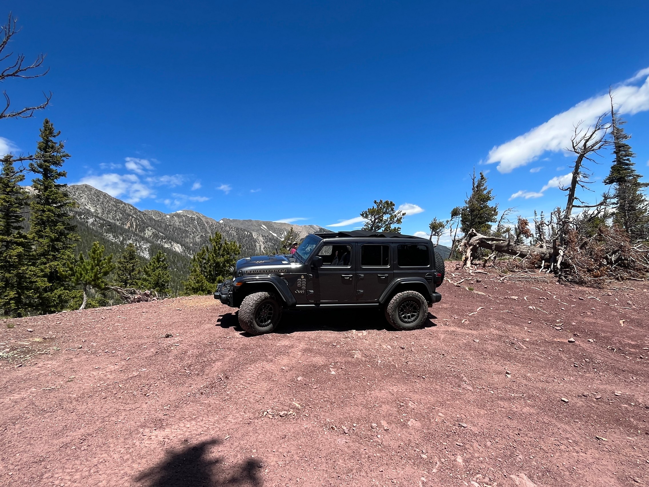
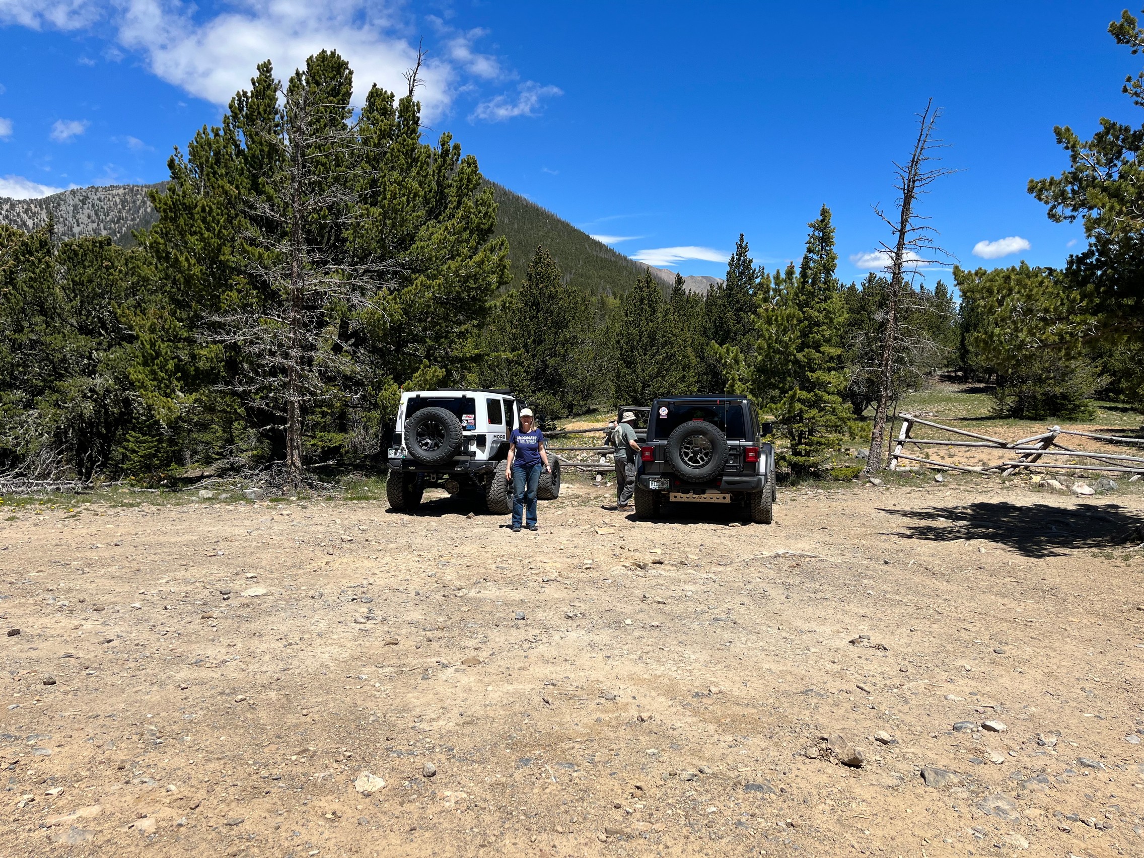
Gray 2022 Jeep Wrangler Unlimited Rubicon 392
Matt K.
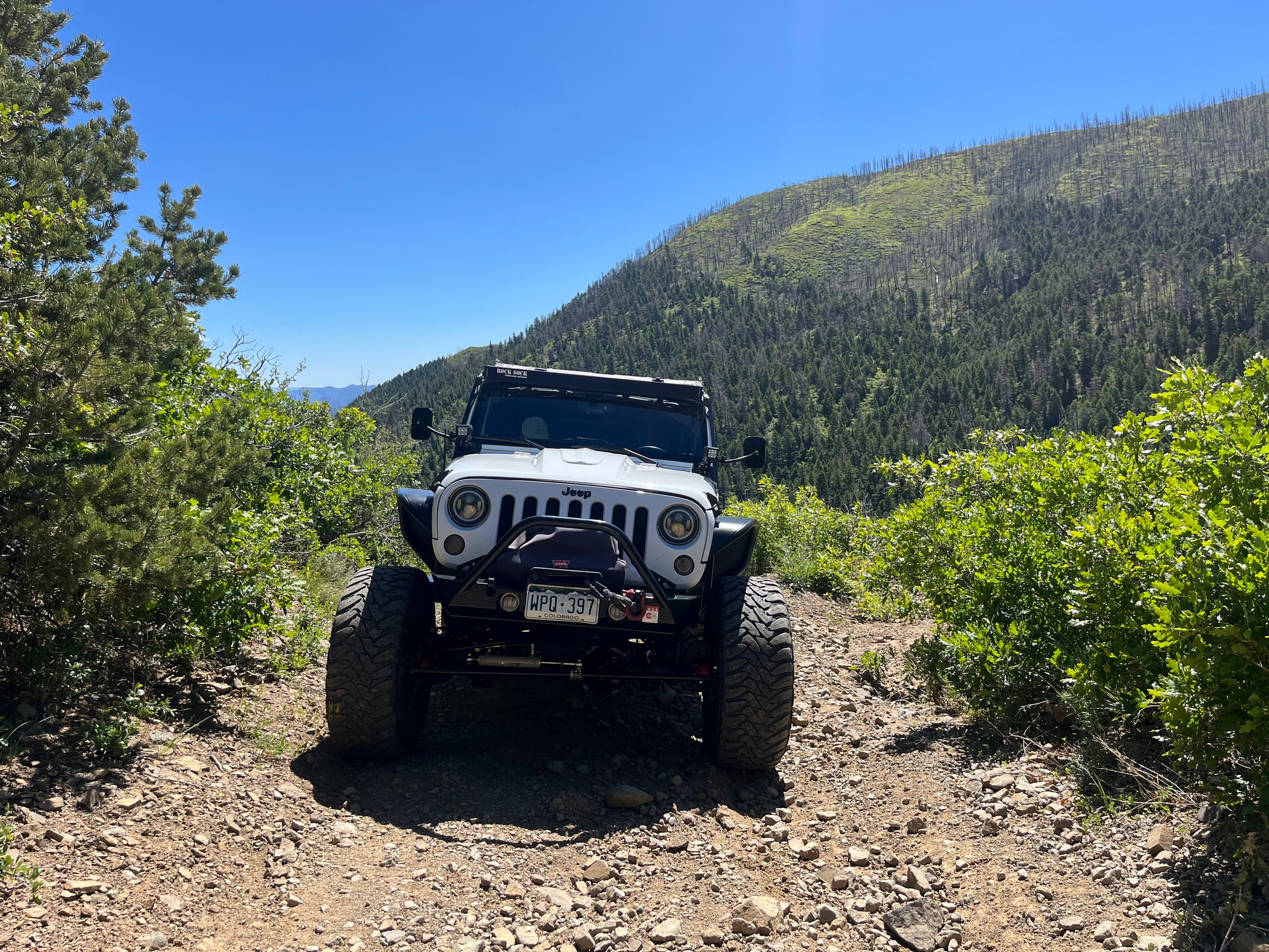
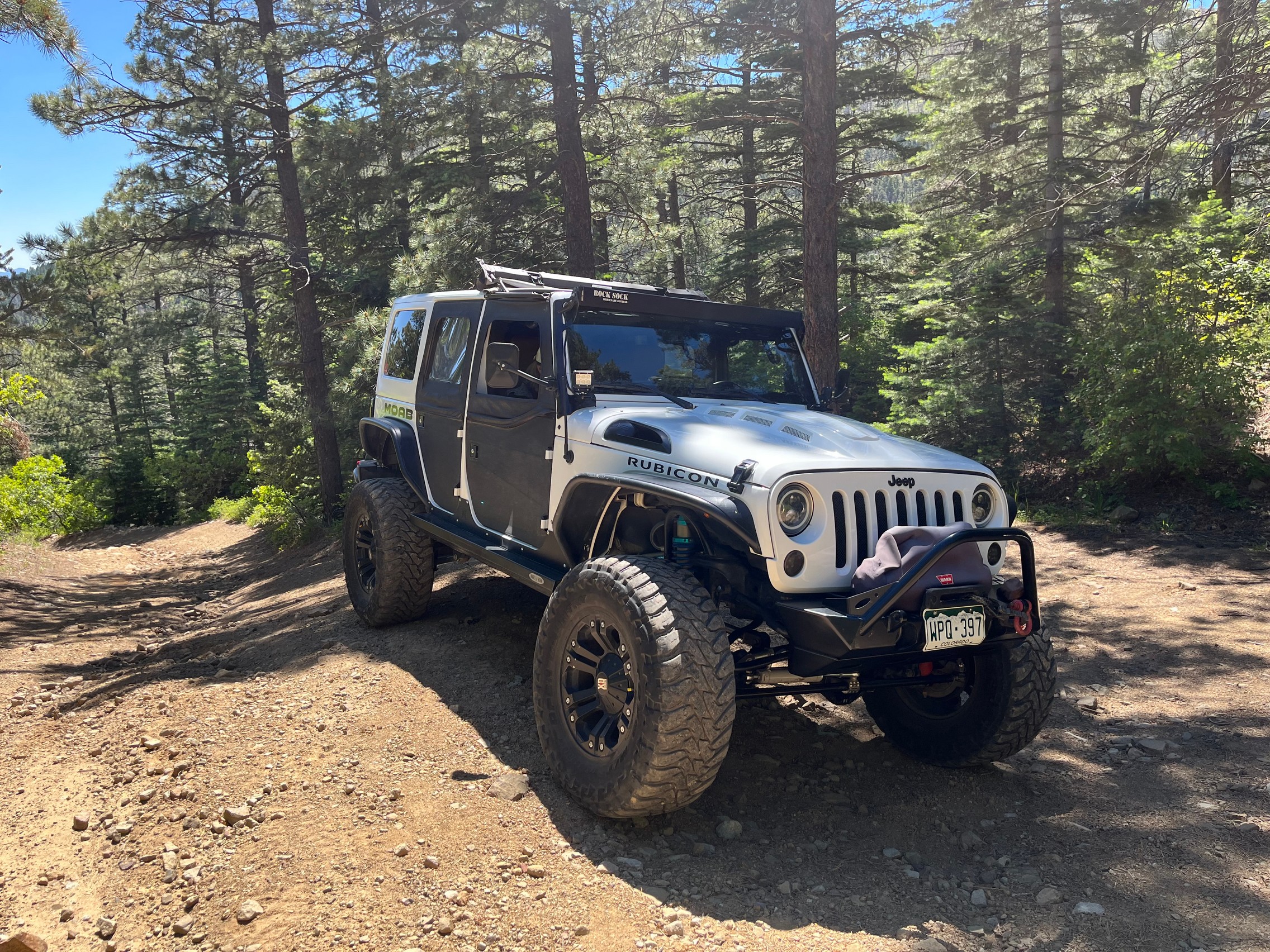
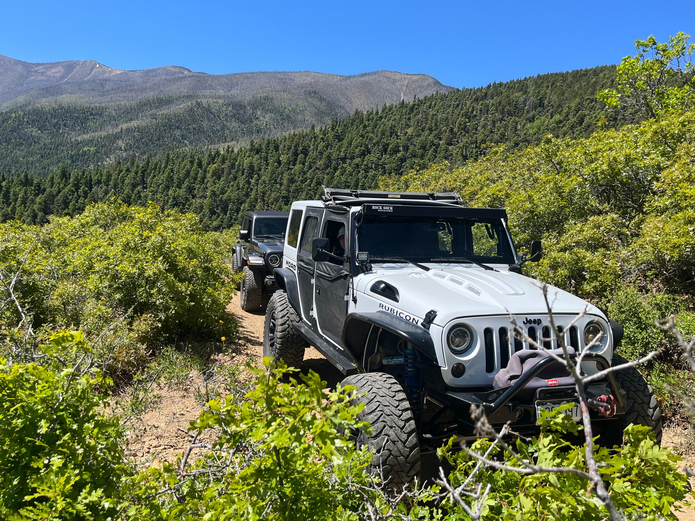
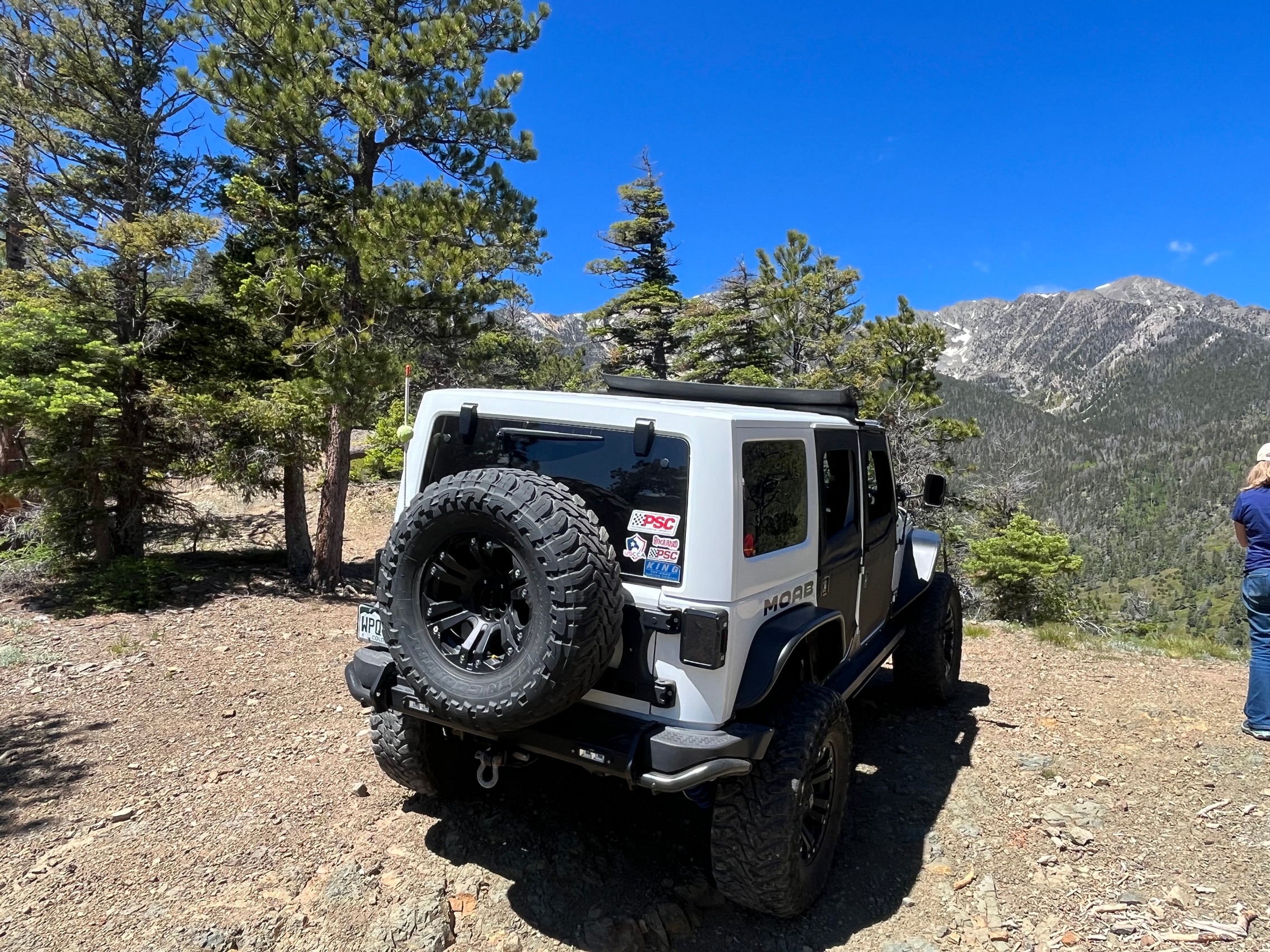
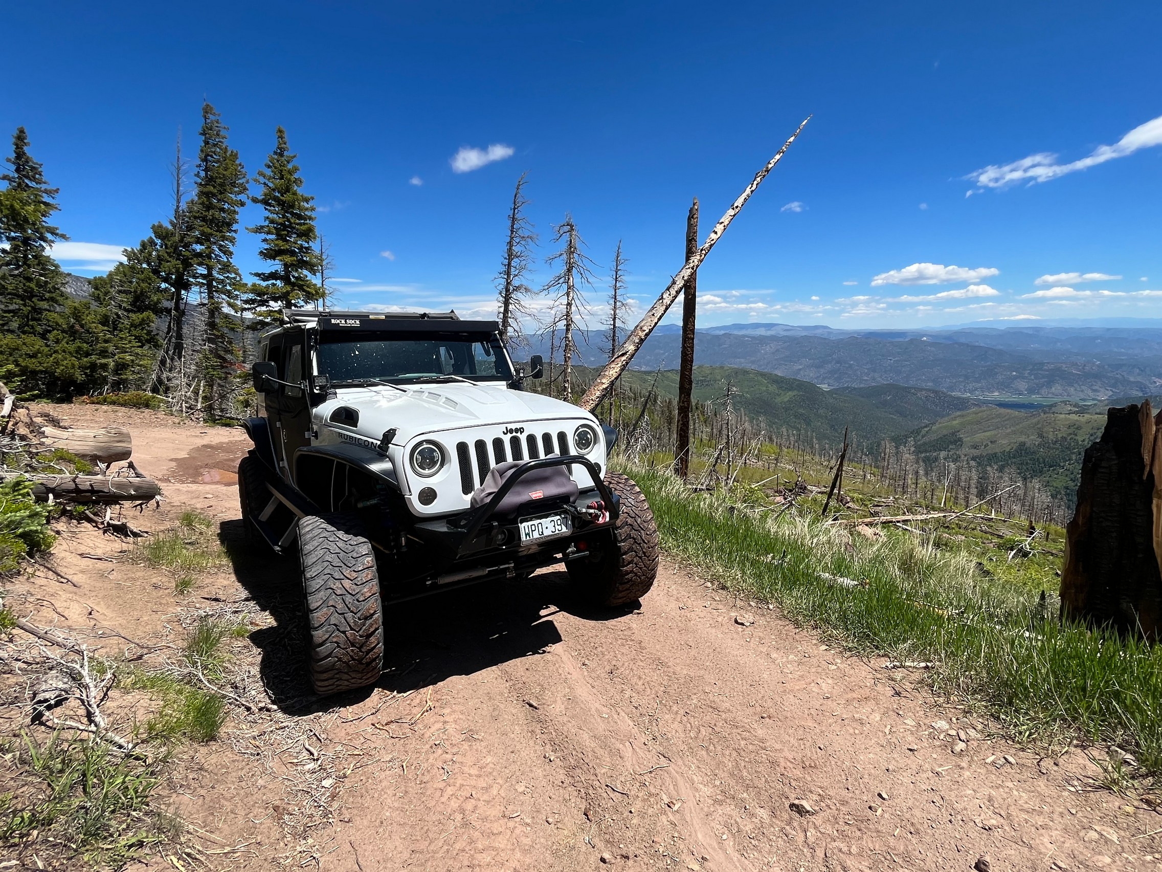
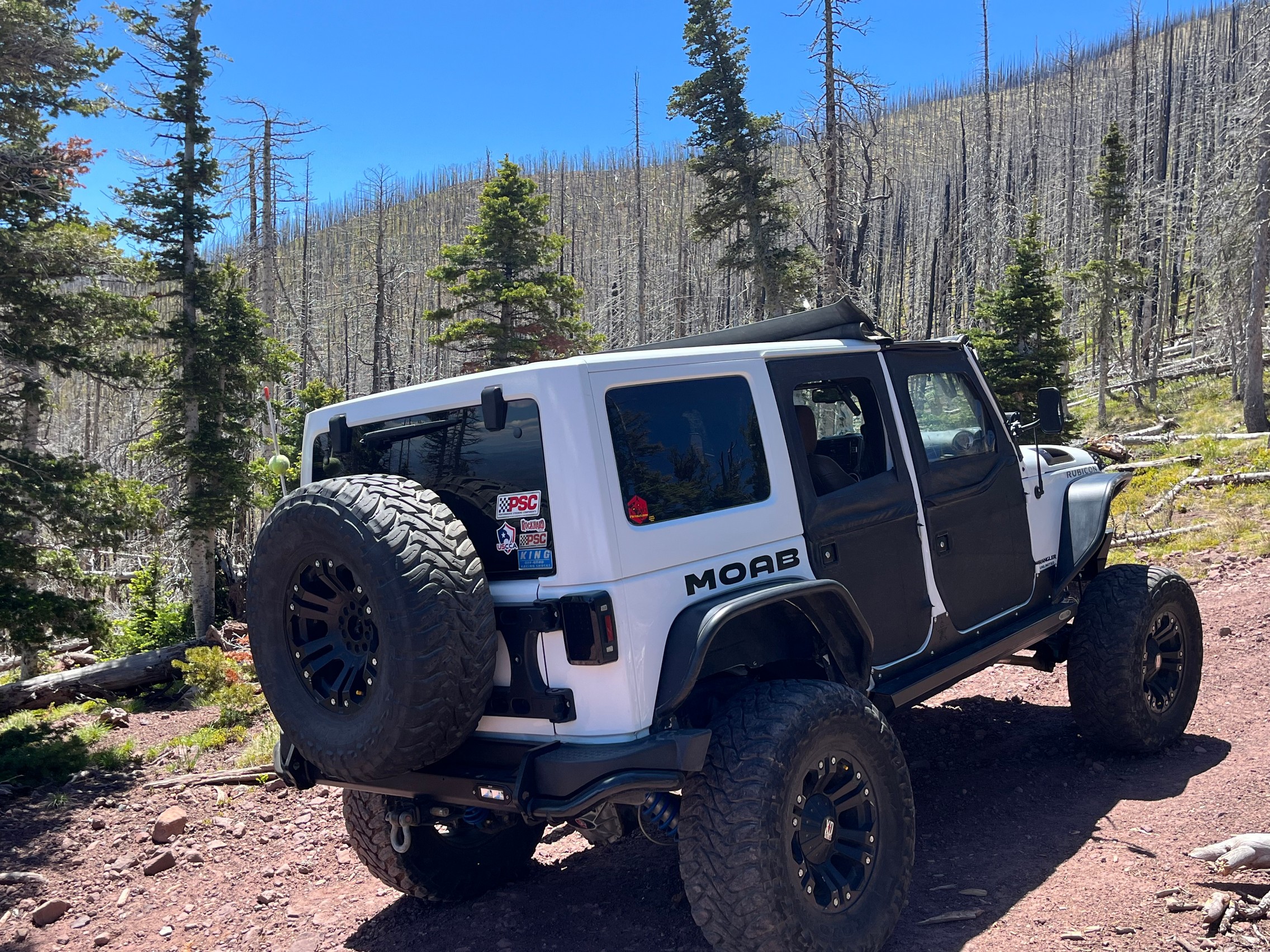
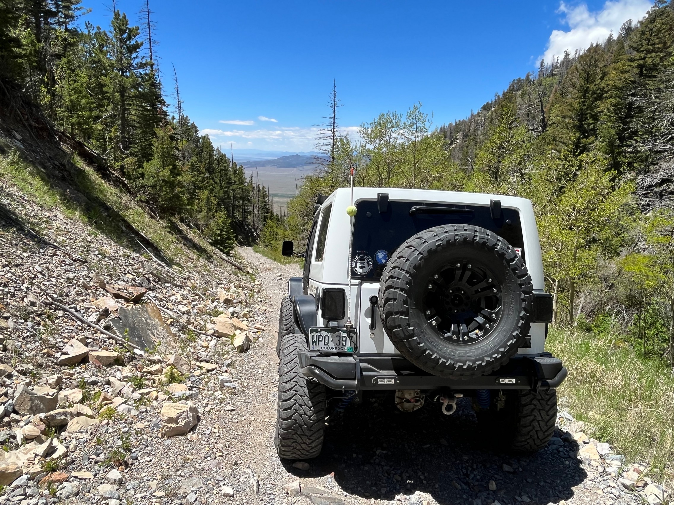
White 2016 Jeep Wrangler Unlimited Rubicon

Hayden Pass was the first trail for the day and Walt's 500th "different" trail that he ran with TrailDamage. 500 unique trails is pretty impressive for one person!

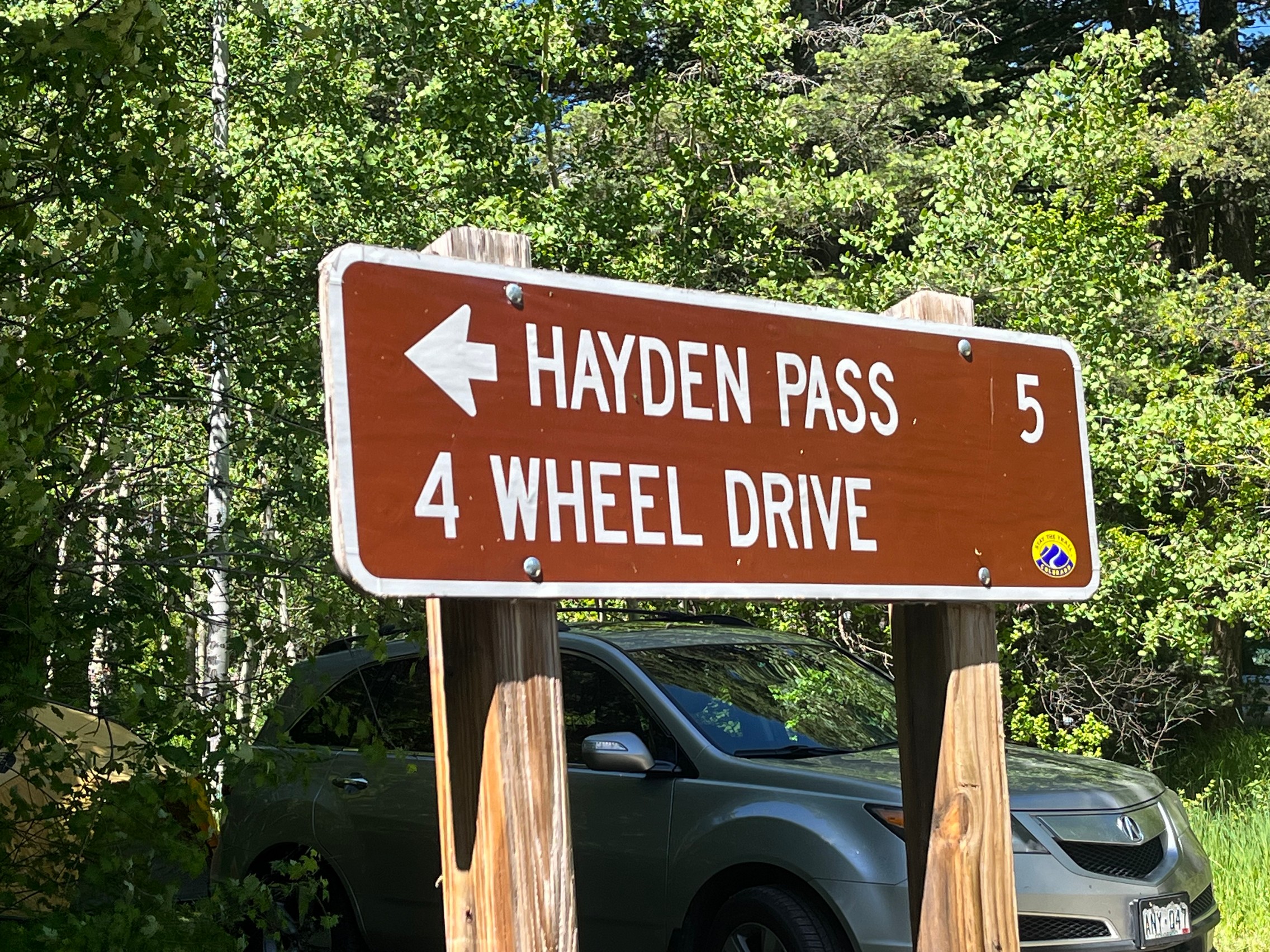
Walt and Matt met up at the trailhead for Hayden Pass. The weather was great, and finally there were no thunderstorms or heavy rain and hail forecasted! It was actually a seasonally warm day.

It has been a long time (about 15 years) since we last drove Hayden Pass and we were looking forward to seeing what had changed with the trail.

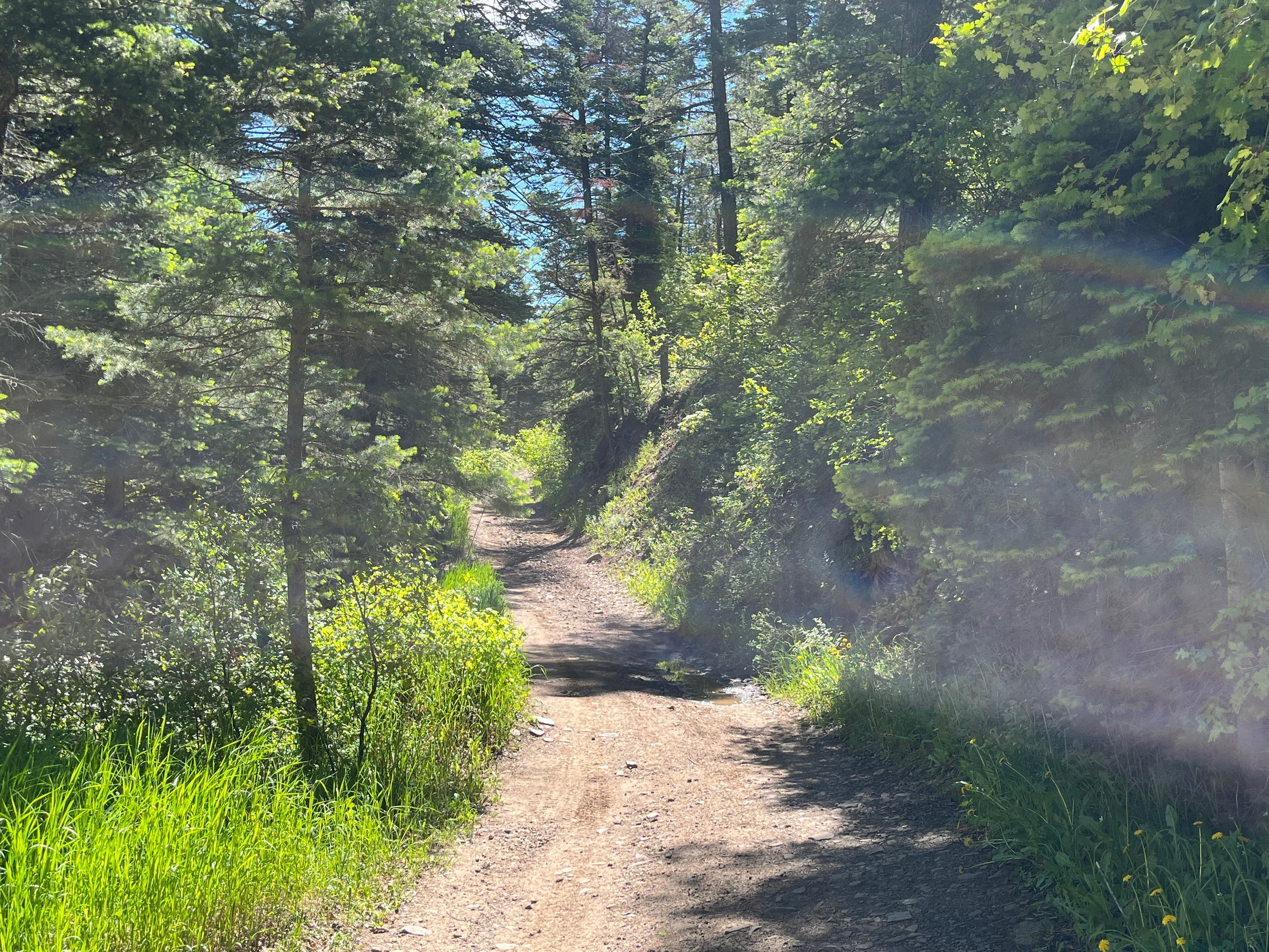
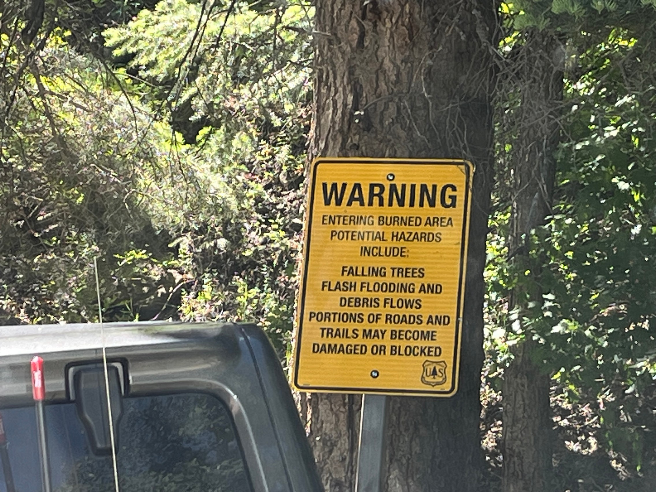
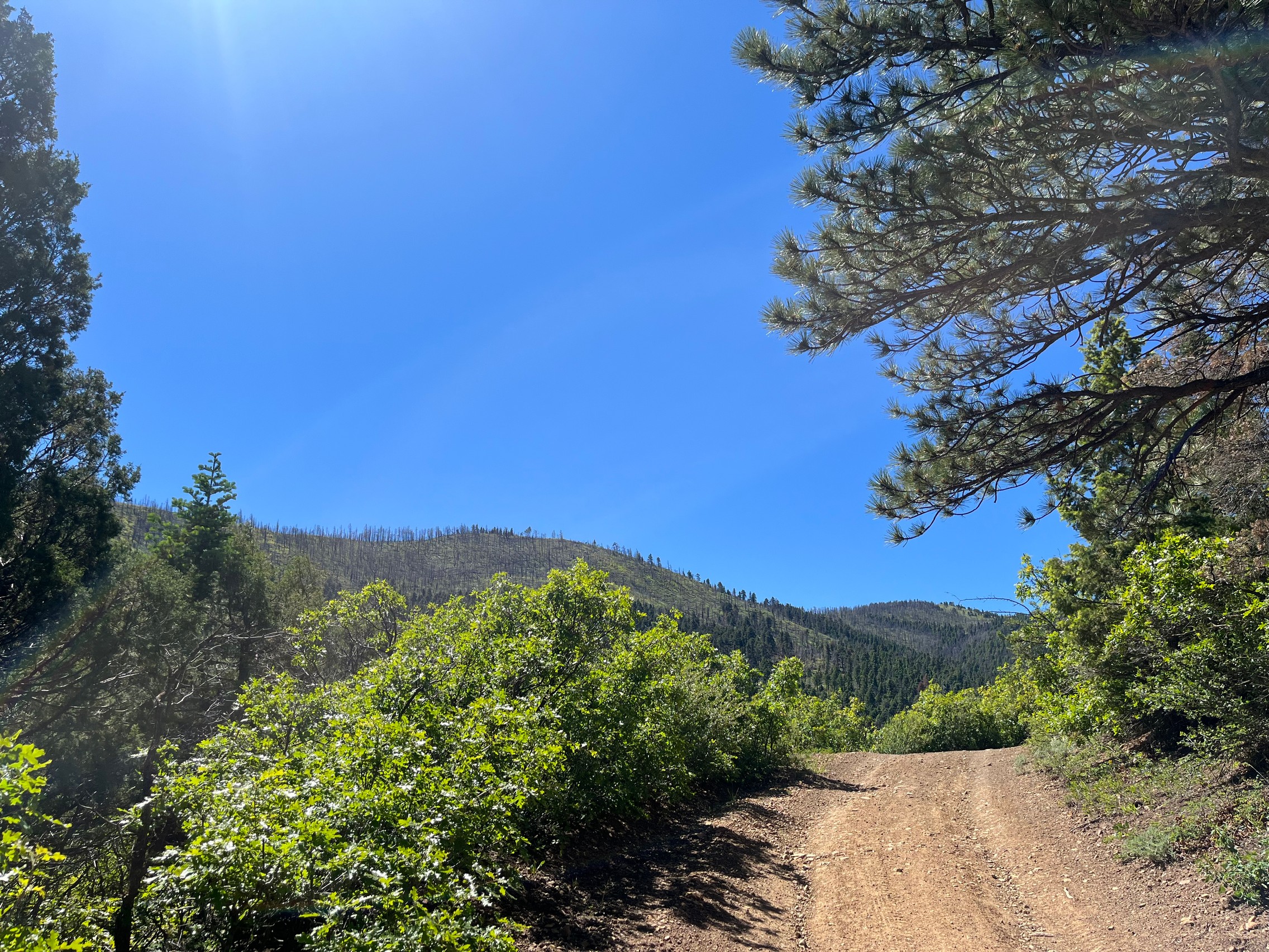
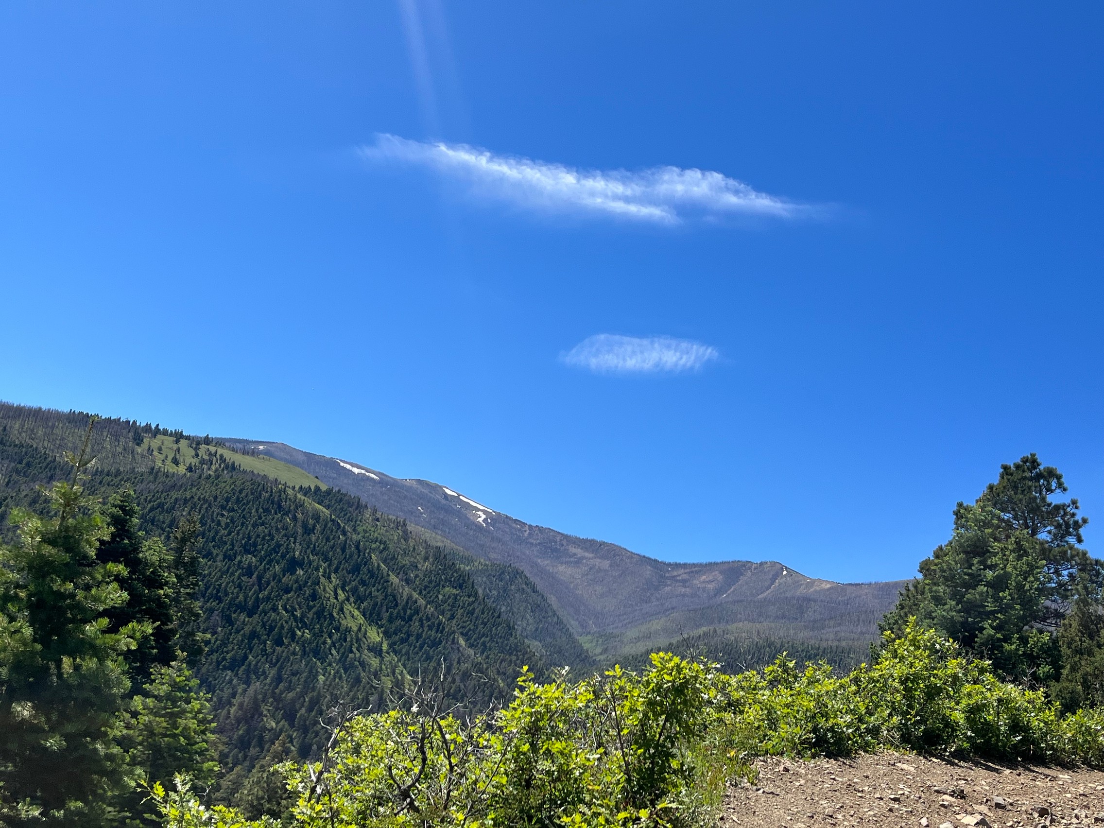
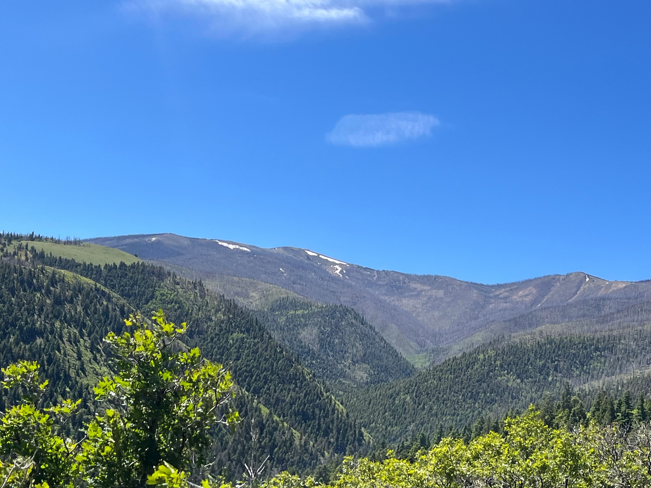
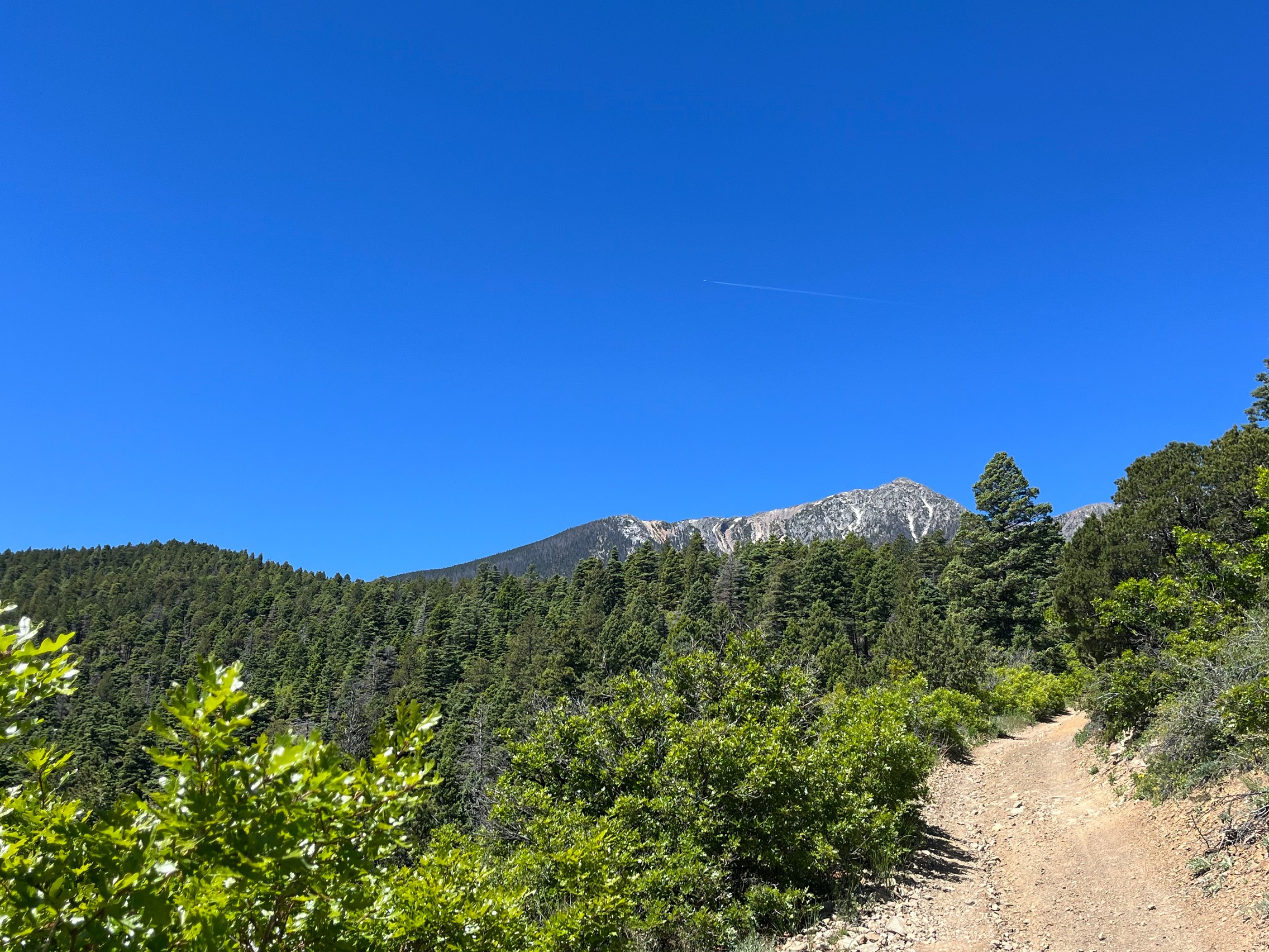
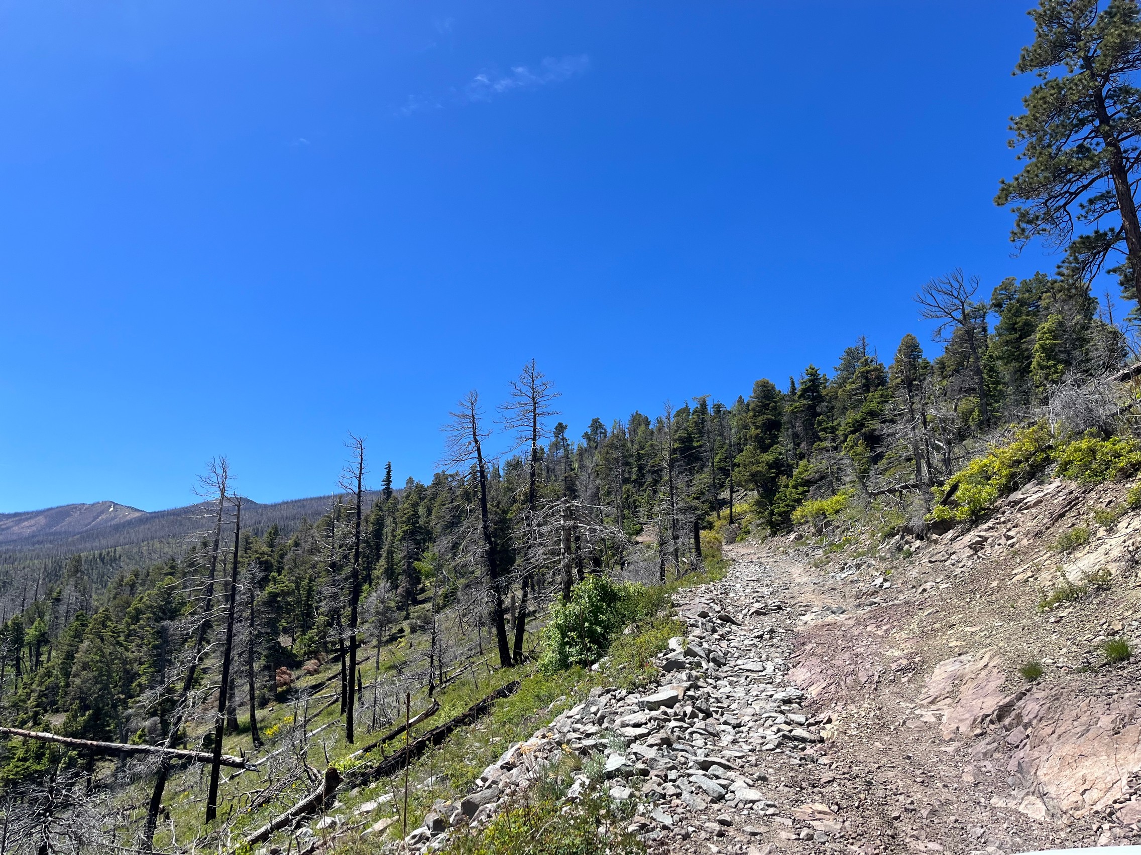
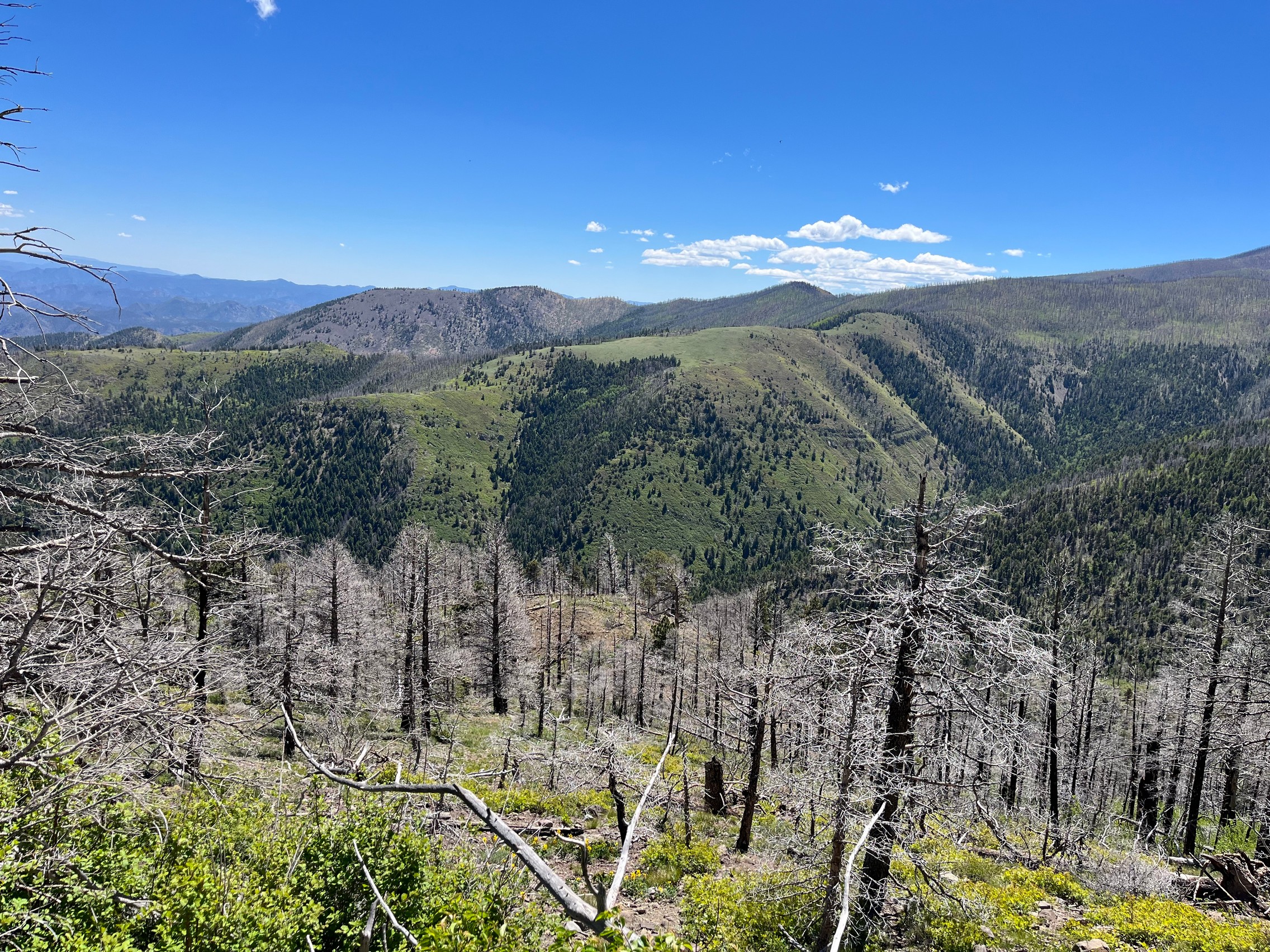
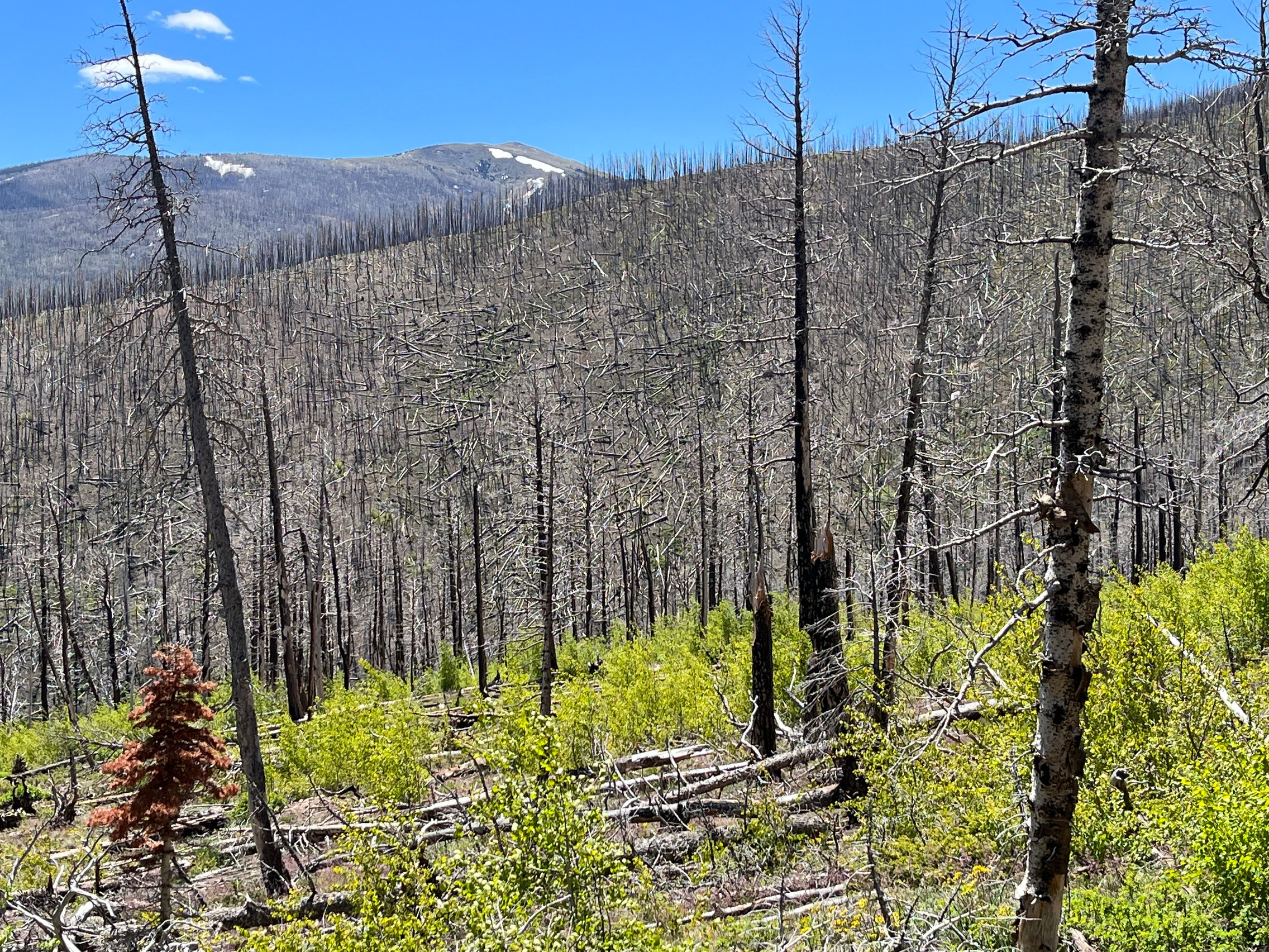
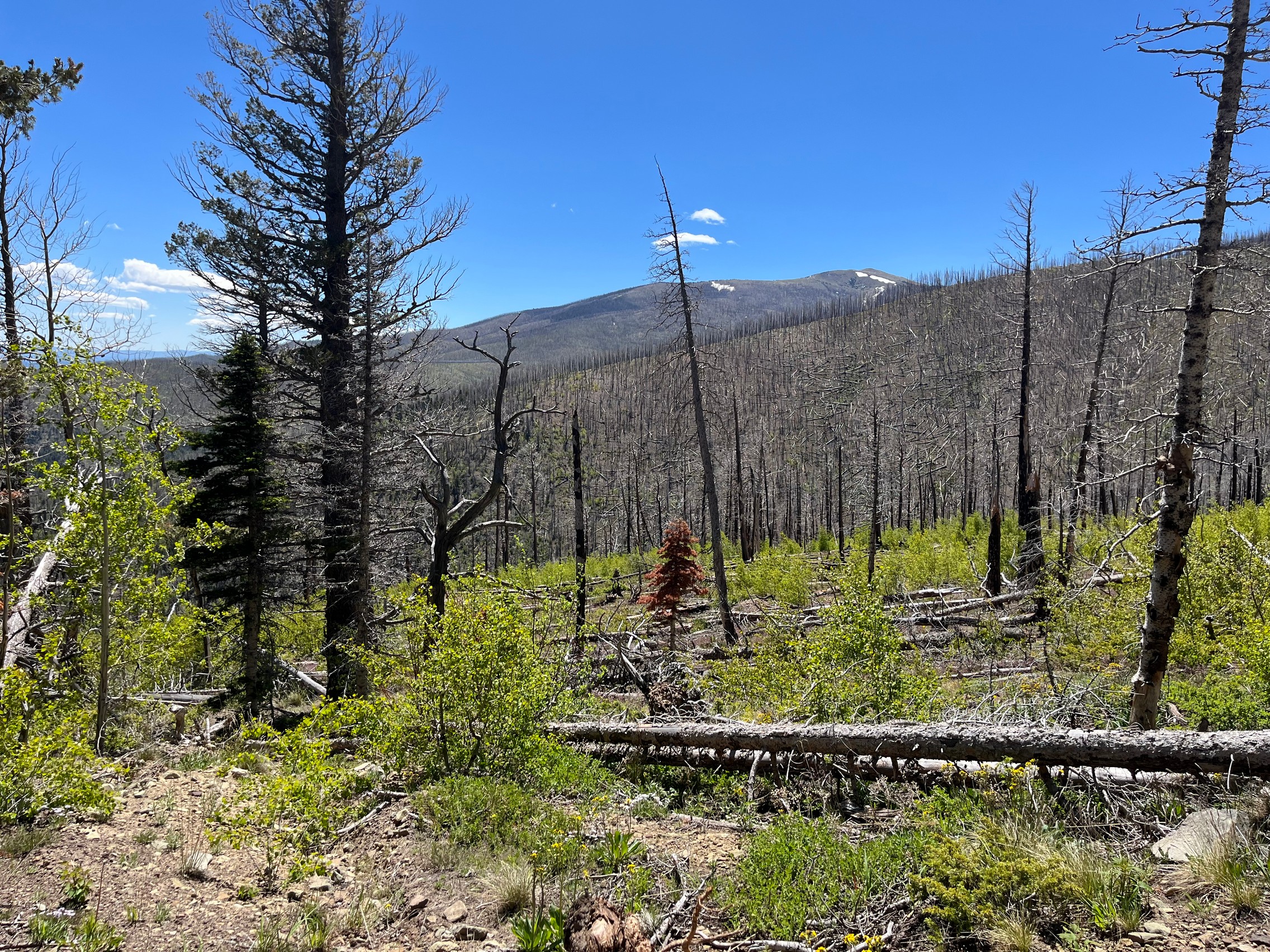
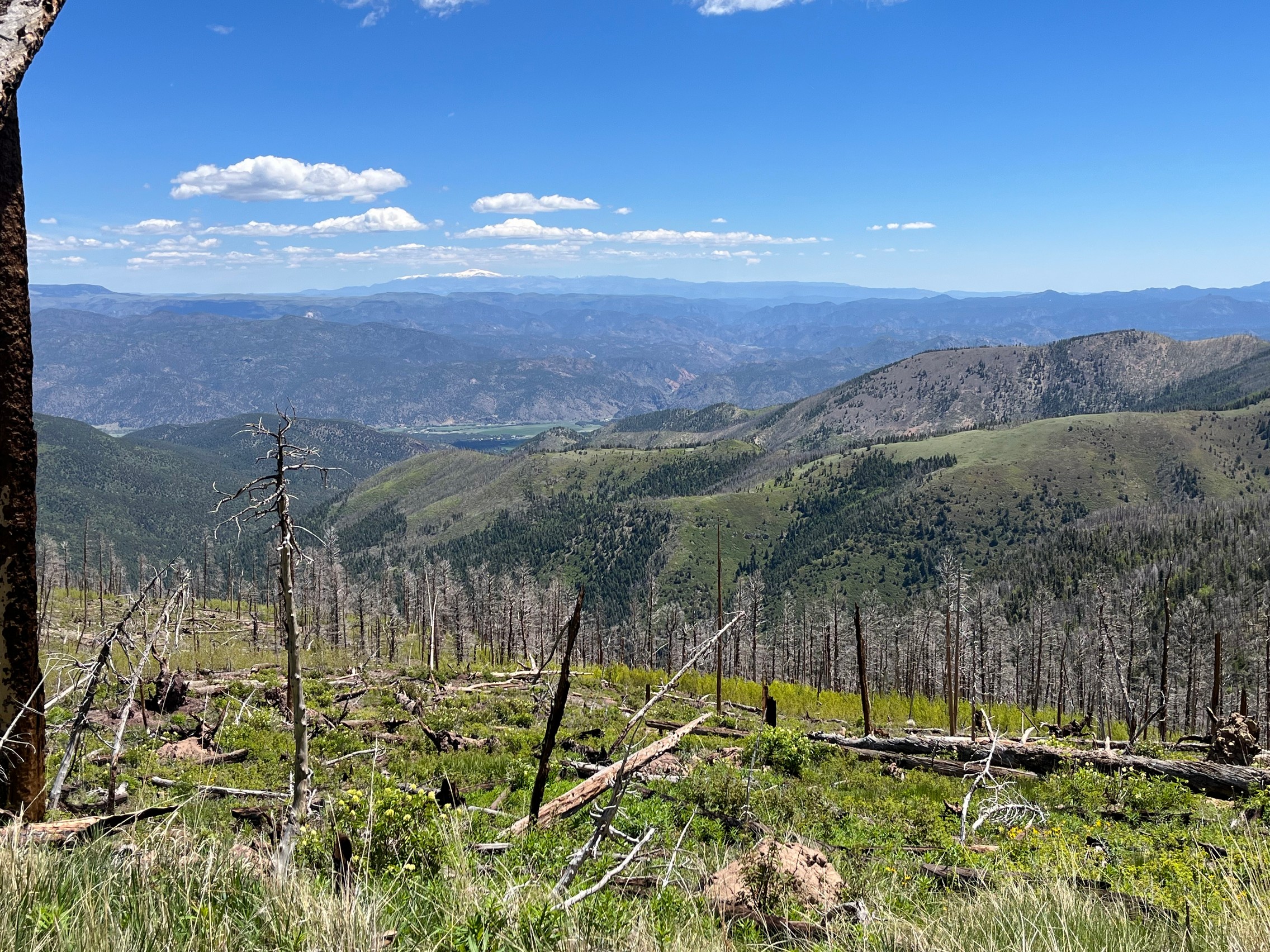
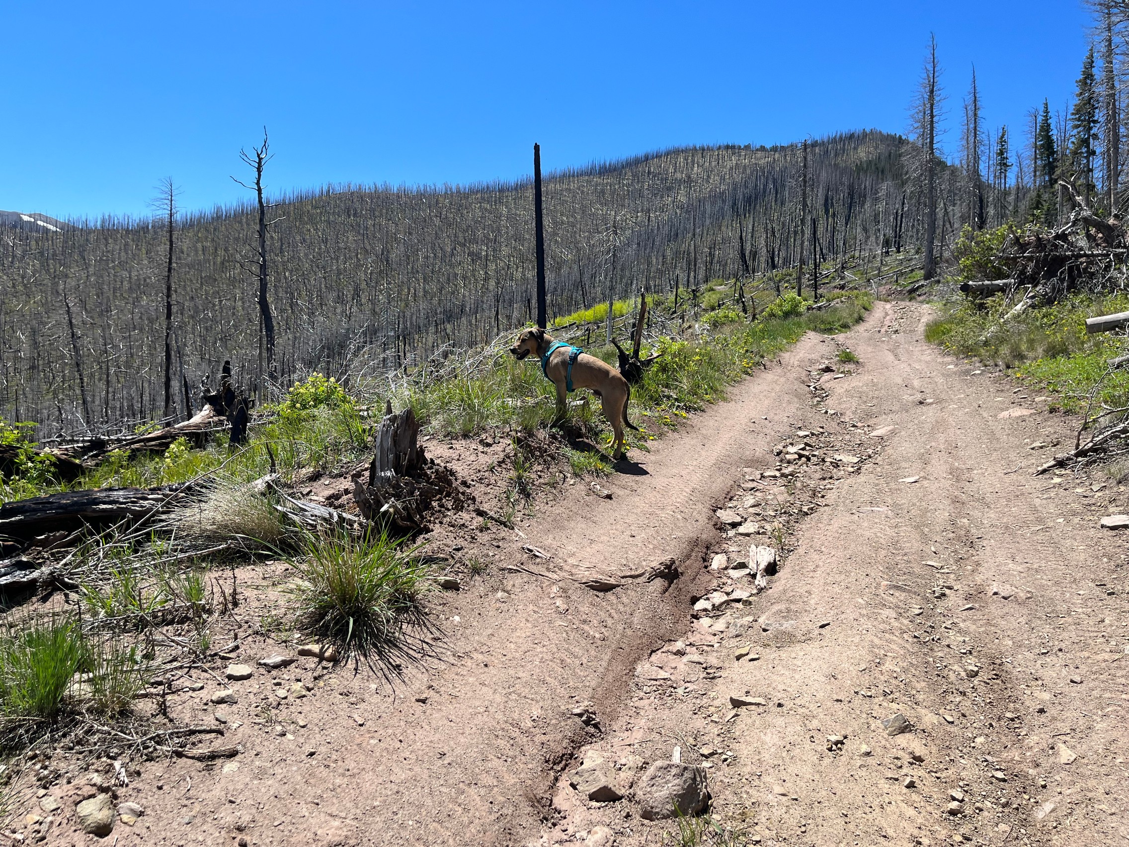
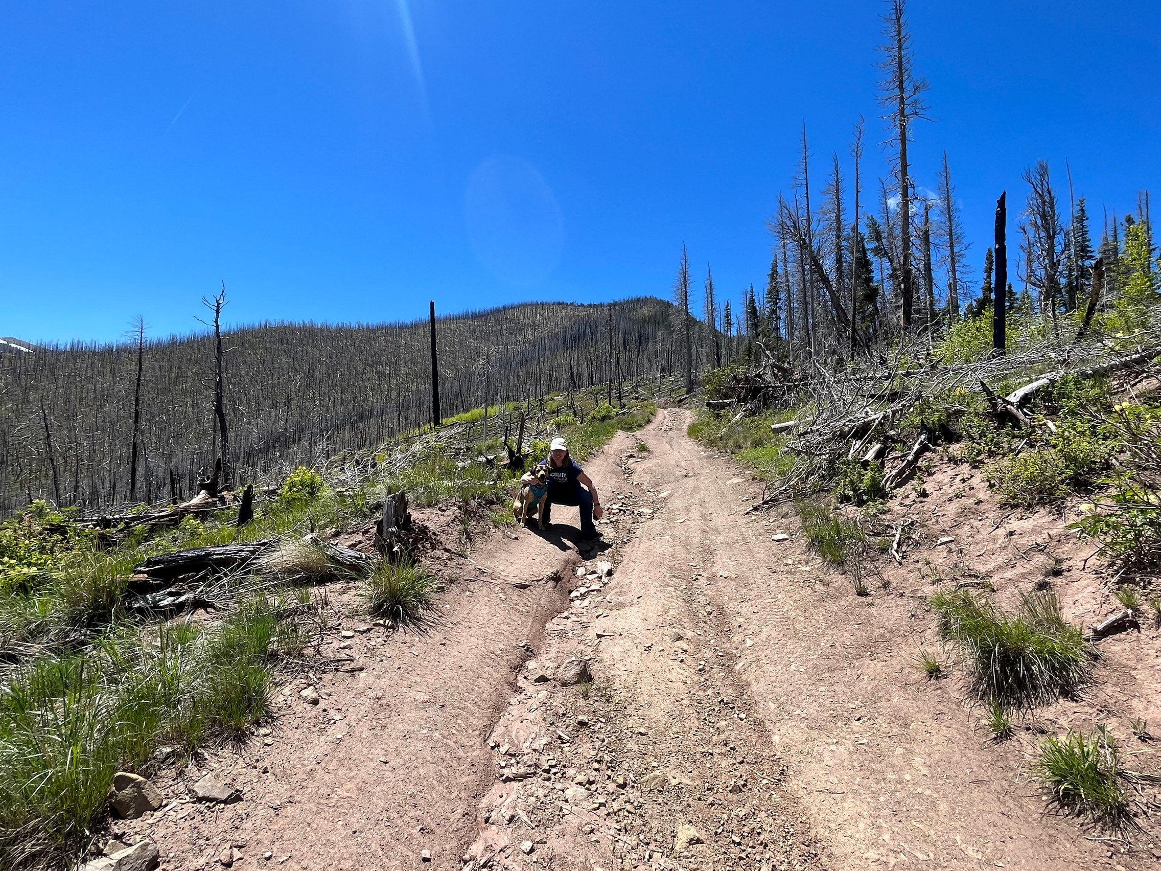
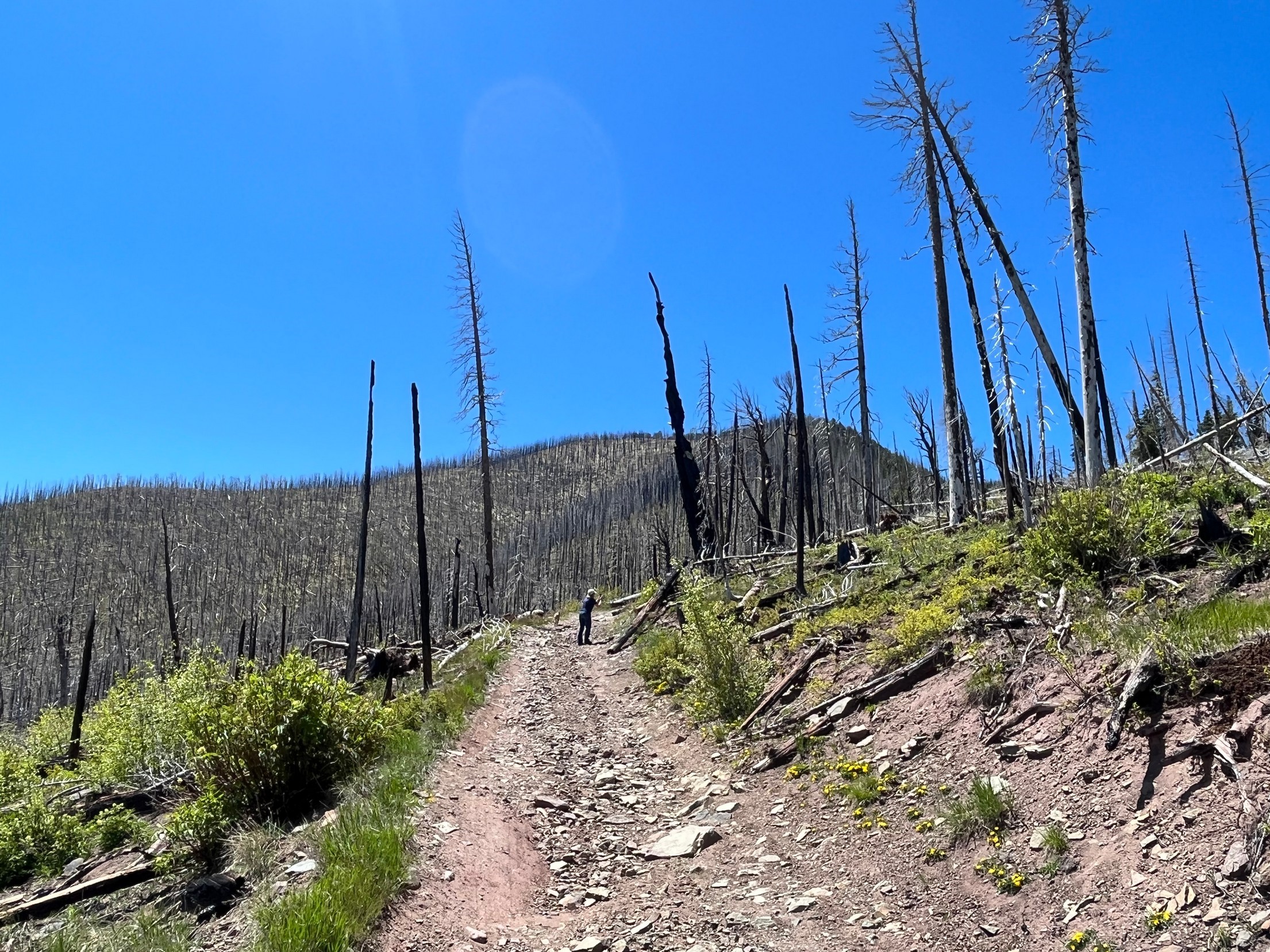
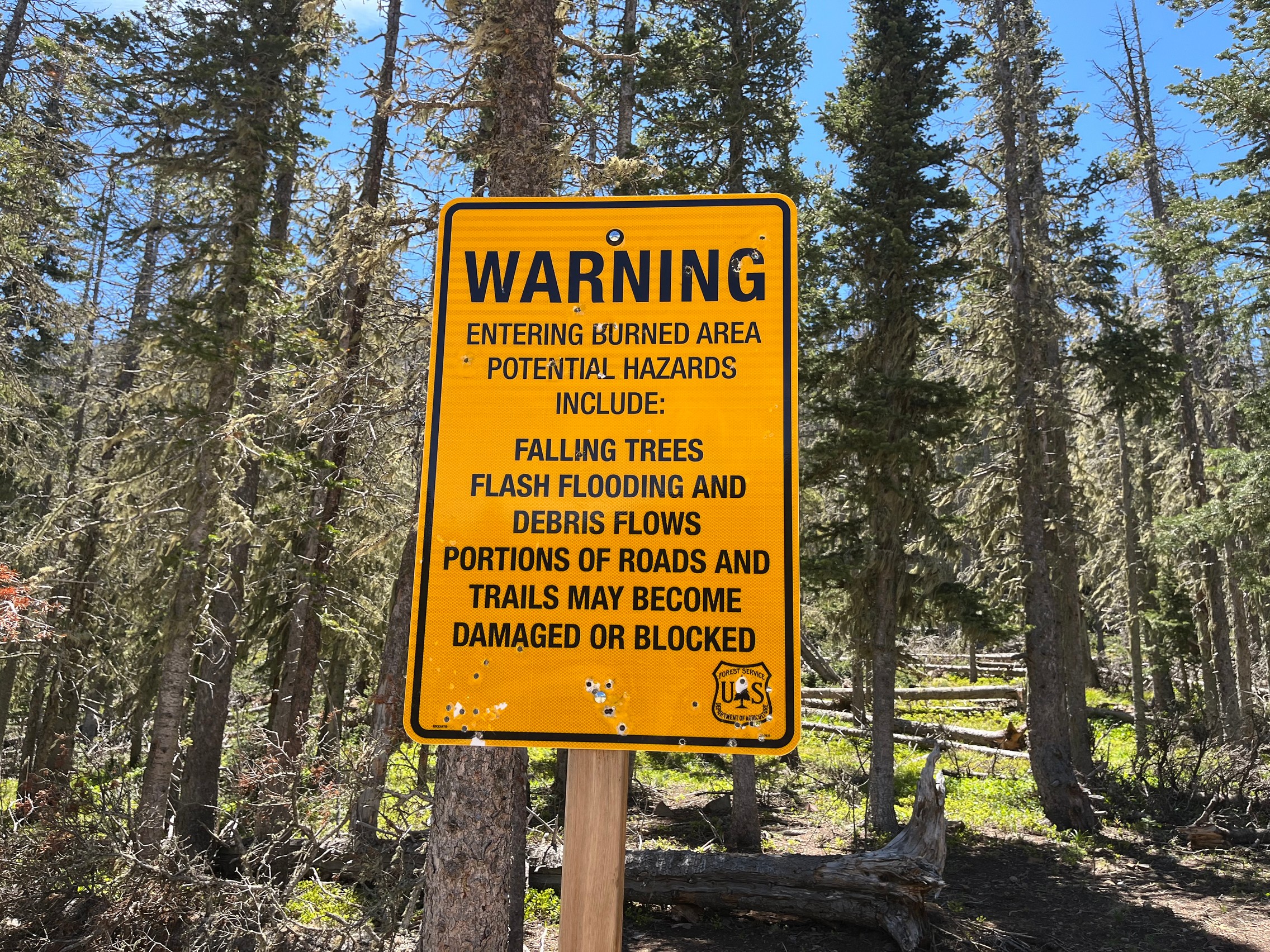
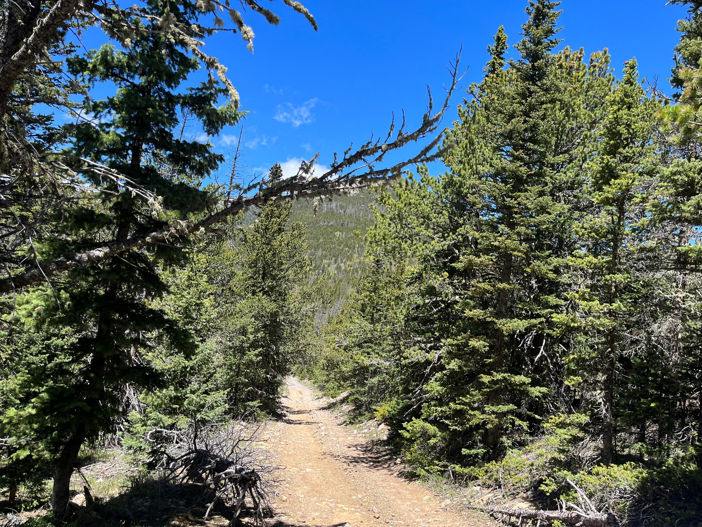
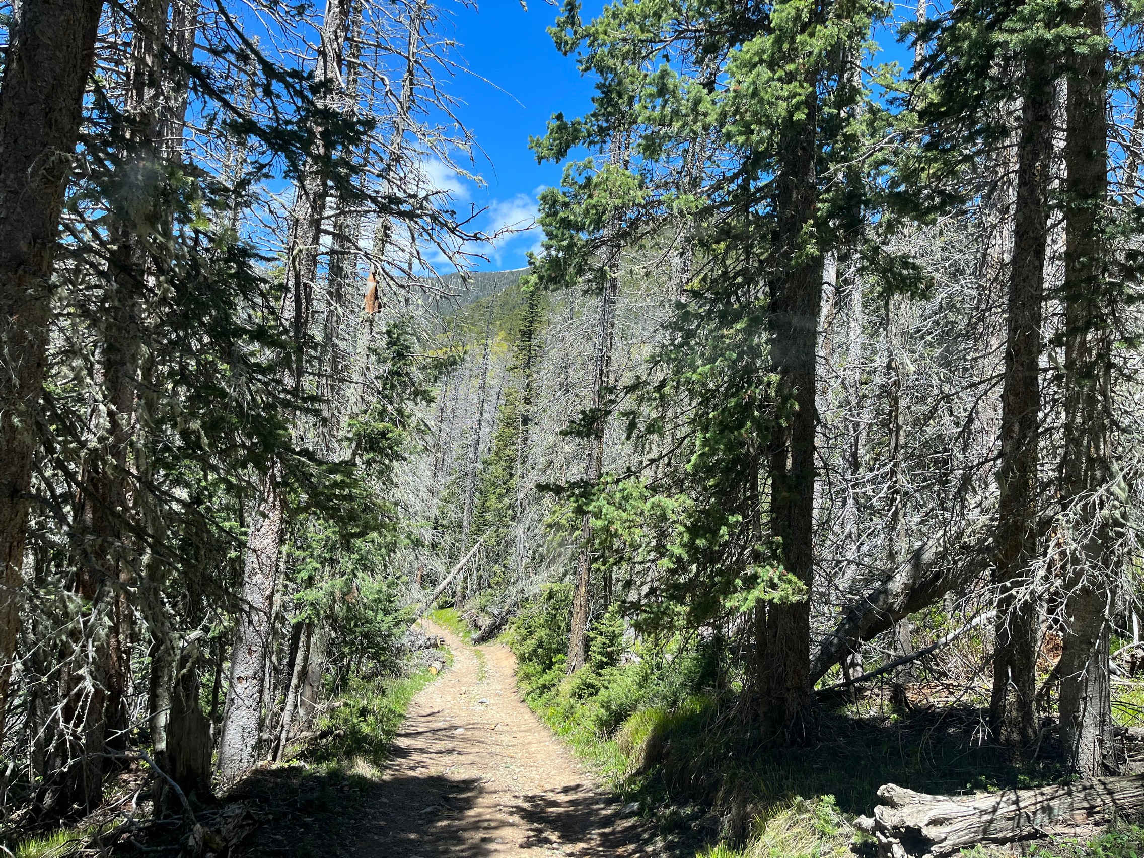
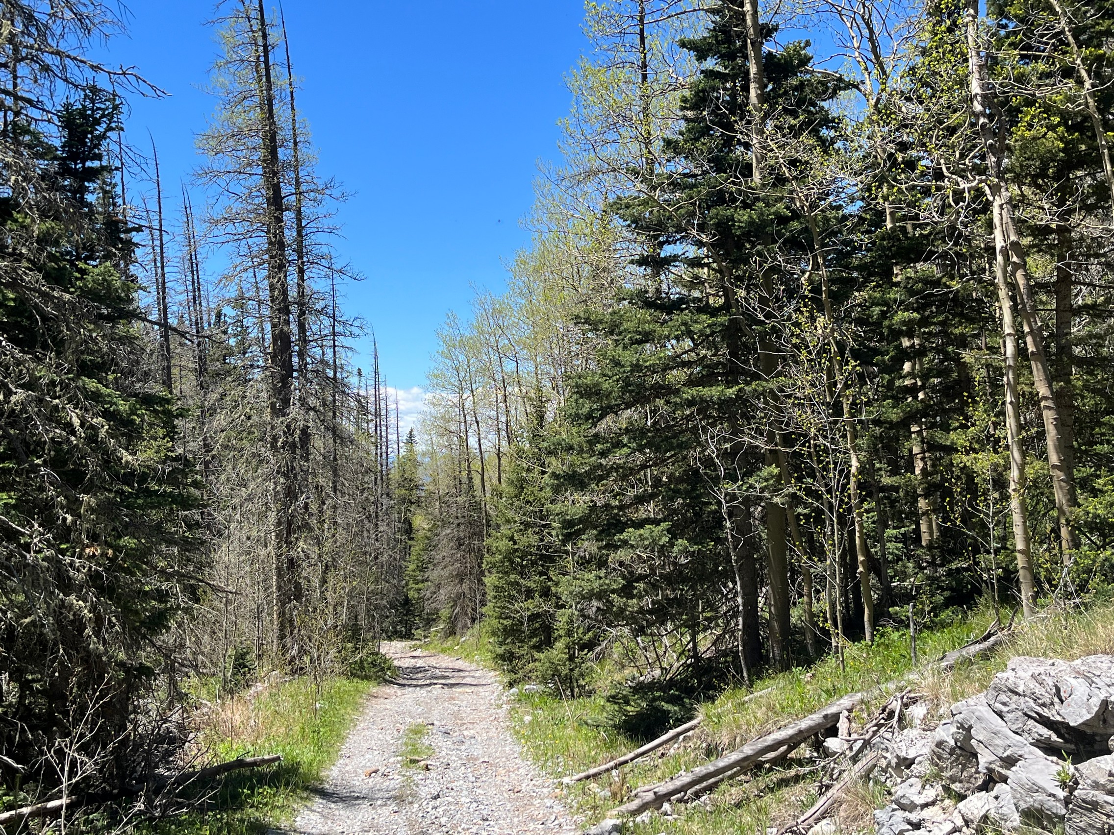
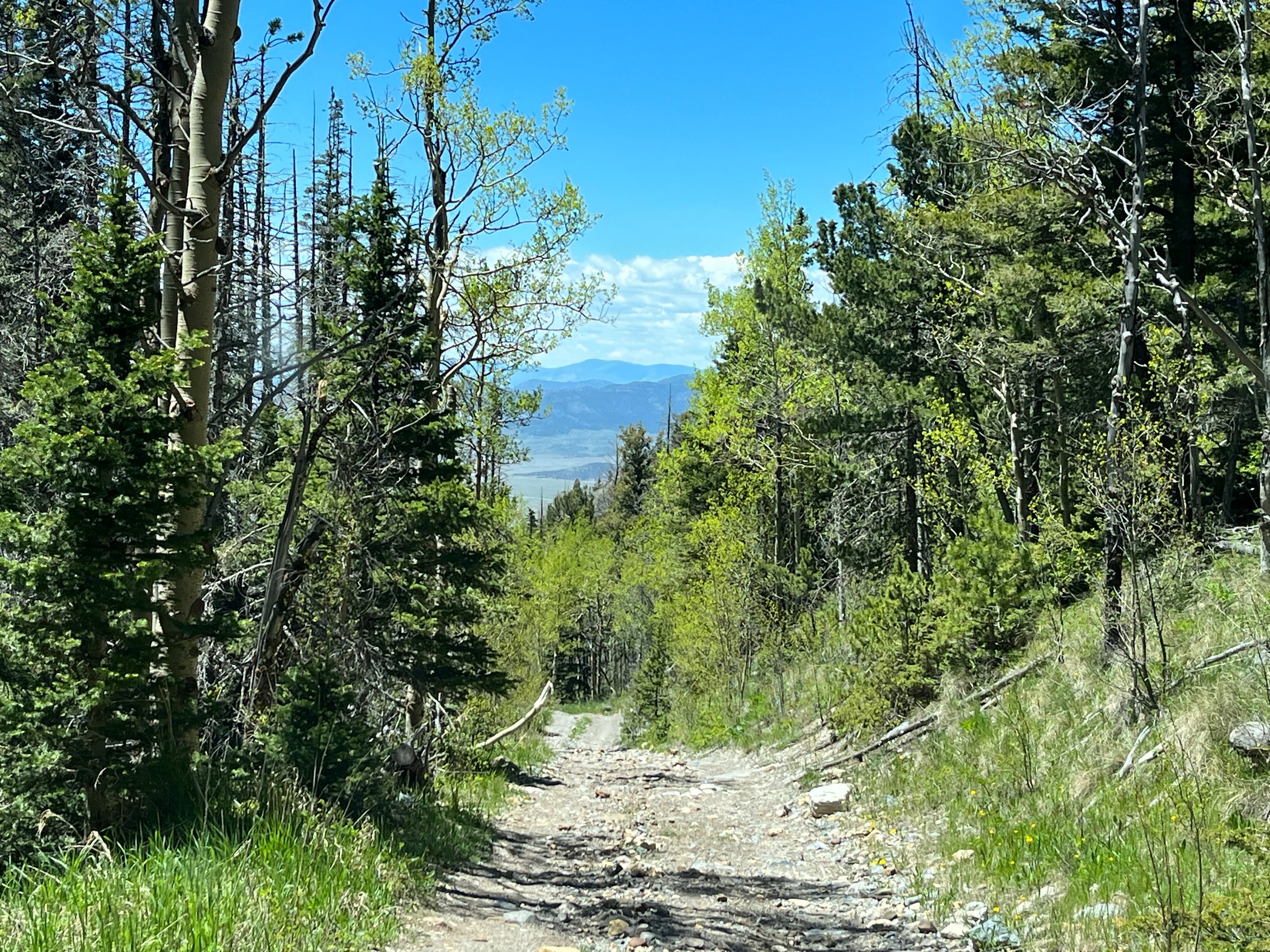
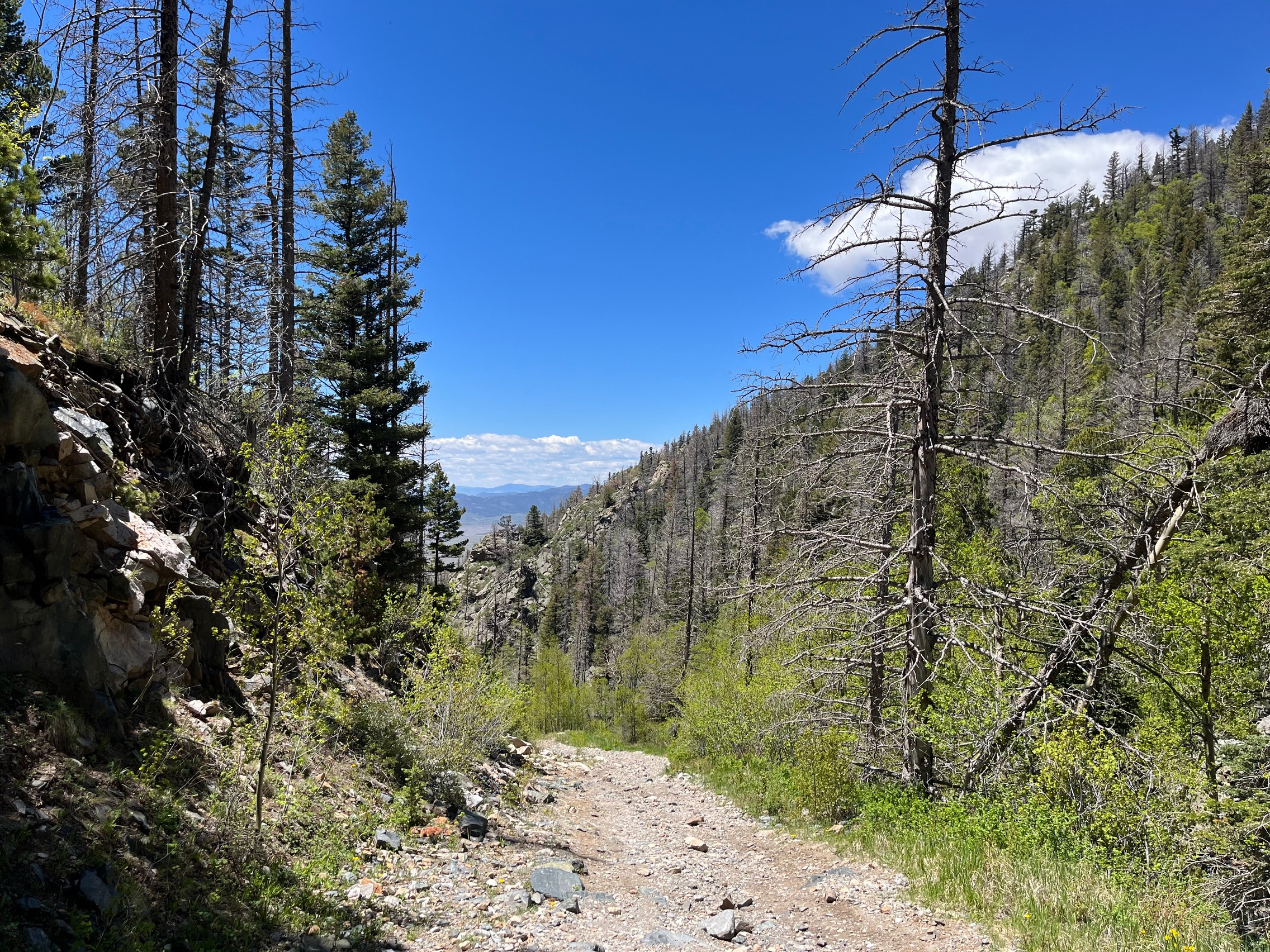
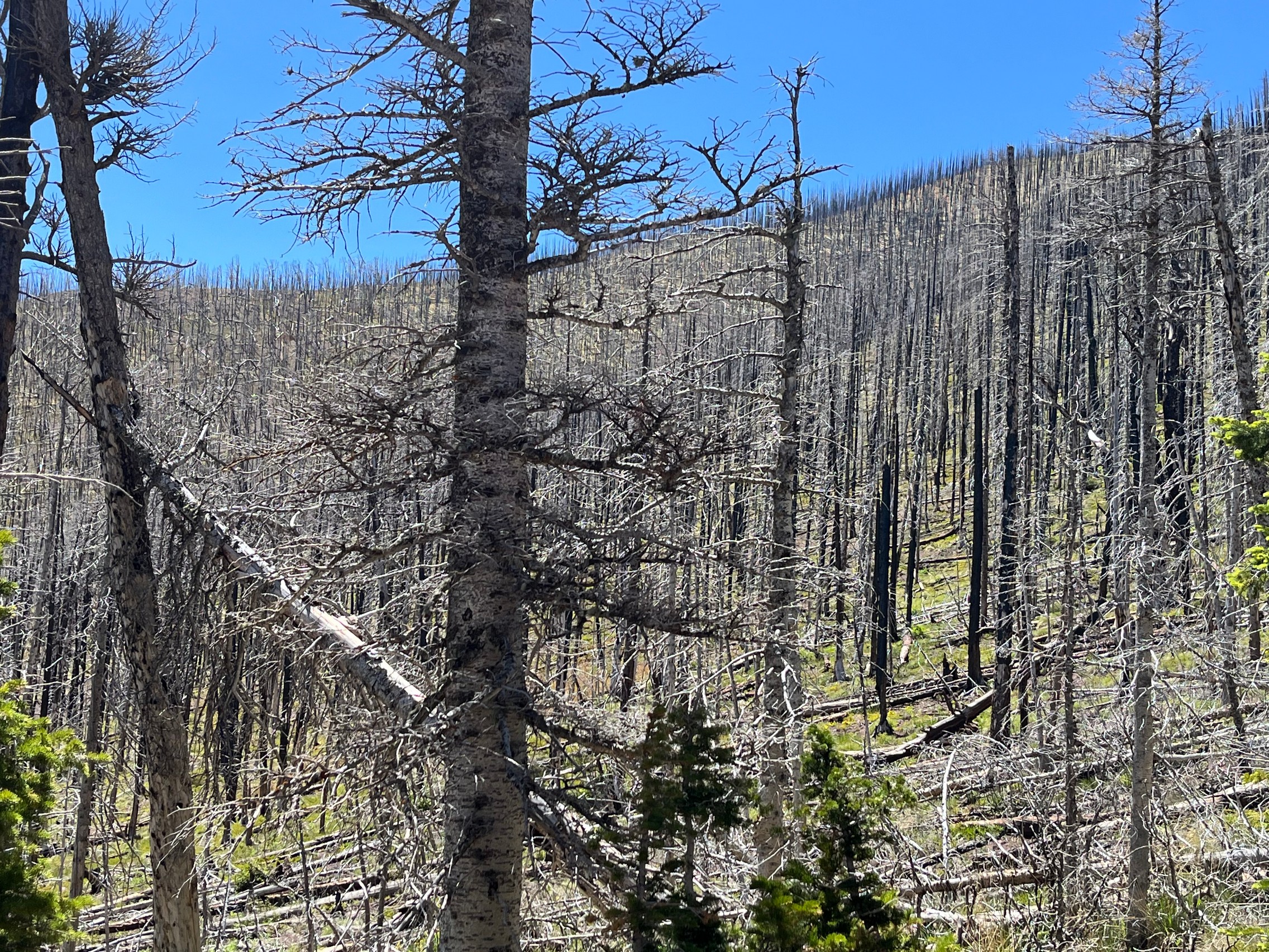
There had been a large forest fire around Hayden Pass in 2016, and while we could see lots of burnt areas, we also saw a lot of recovery. There were young trees and shrubs around the trail.

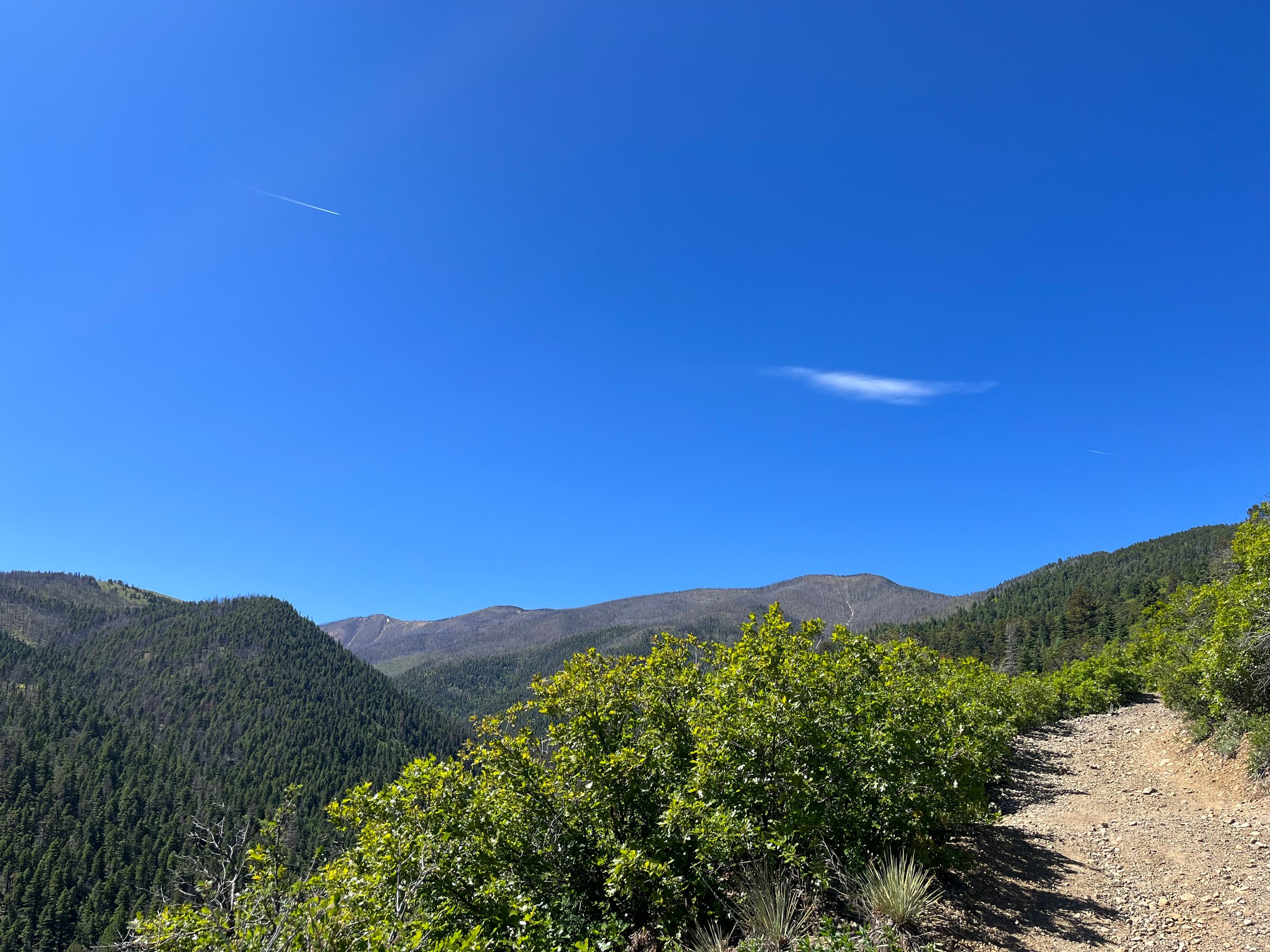
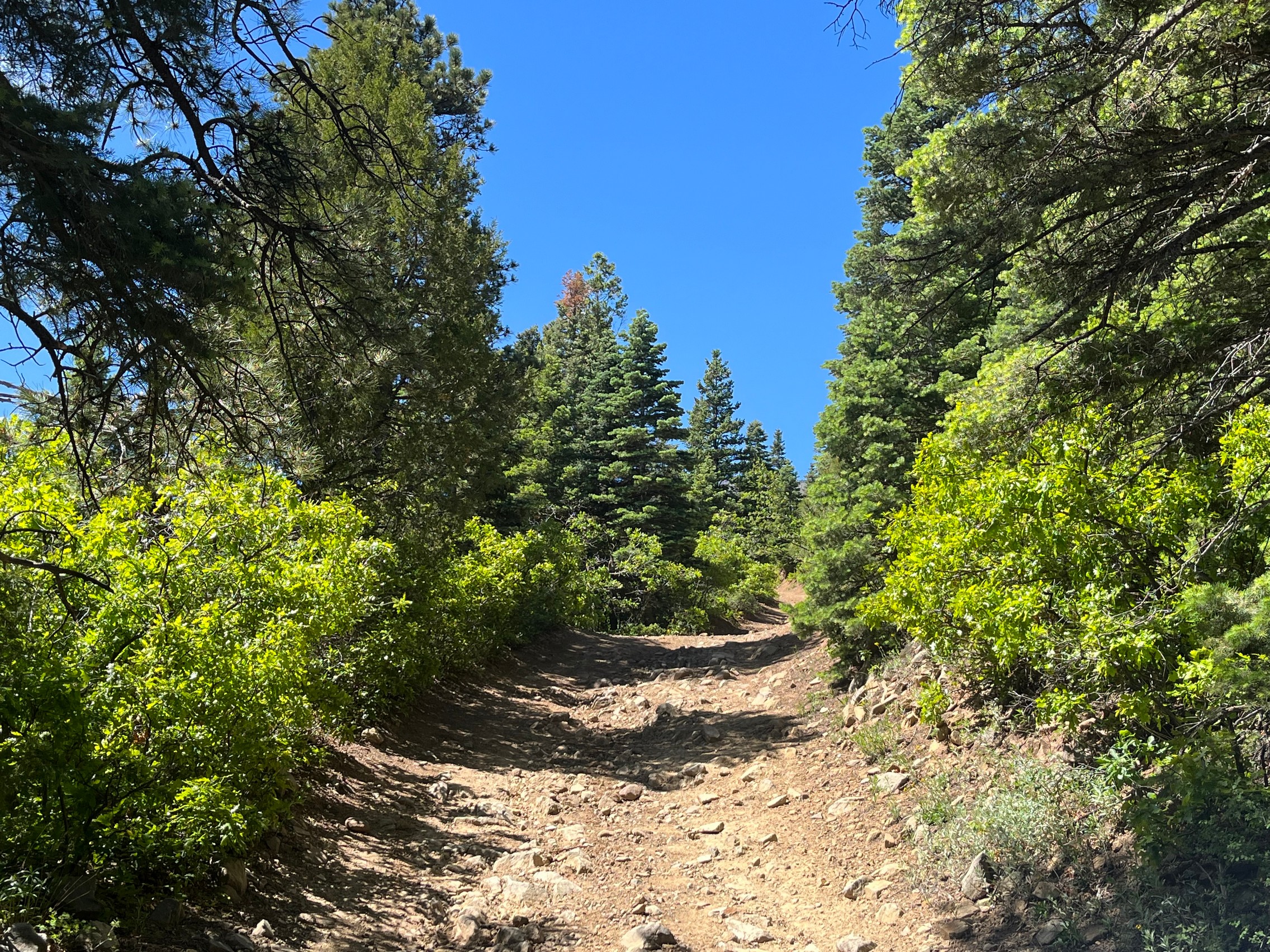
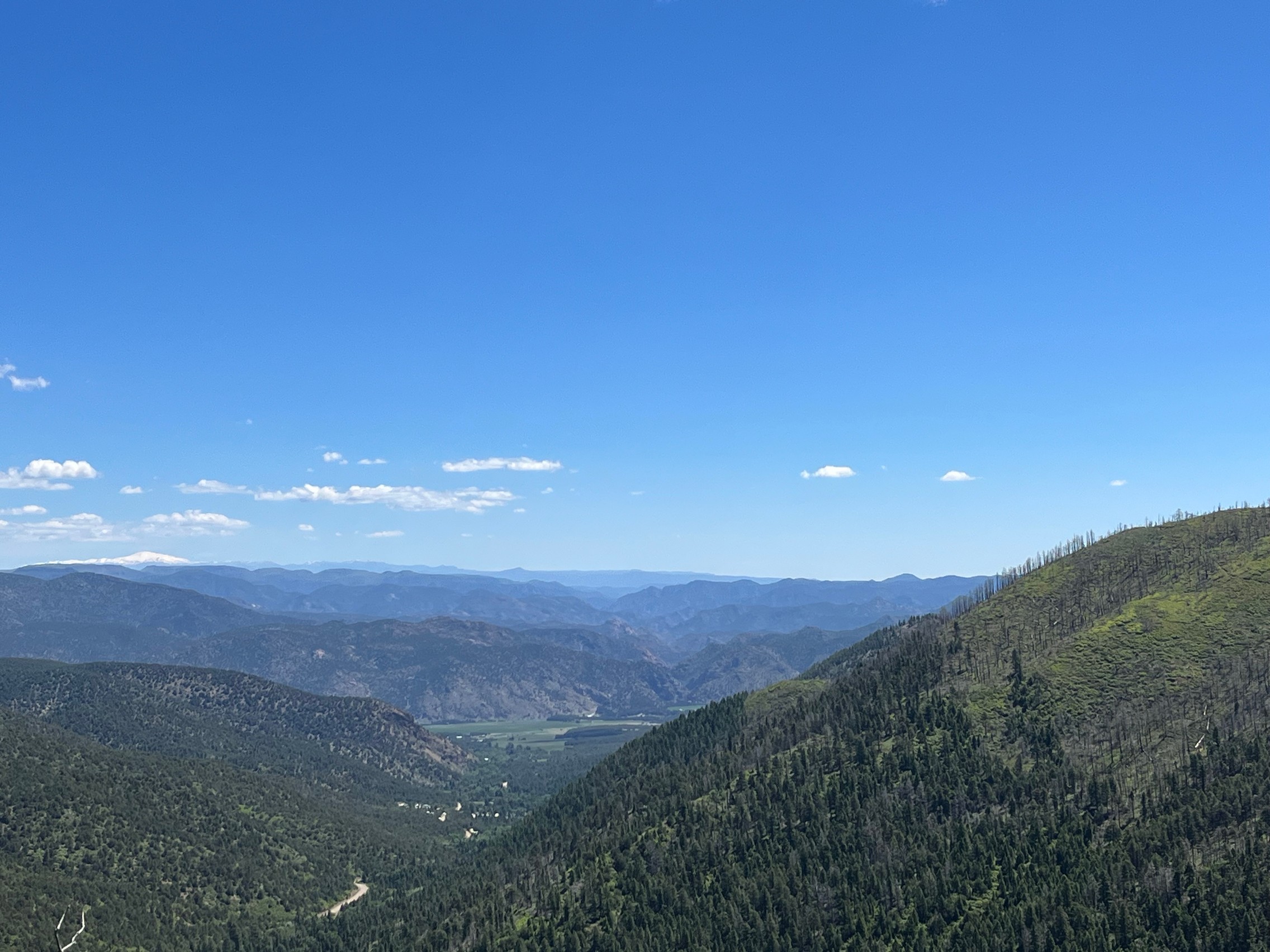
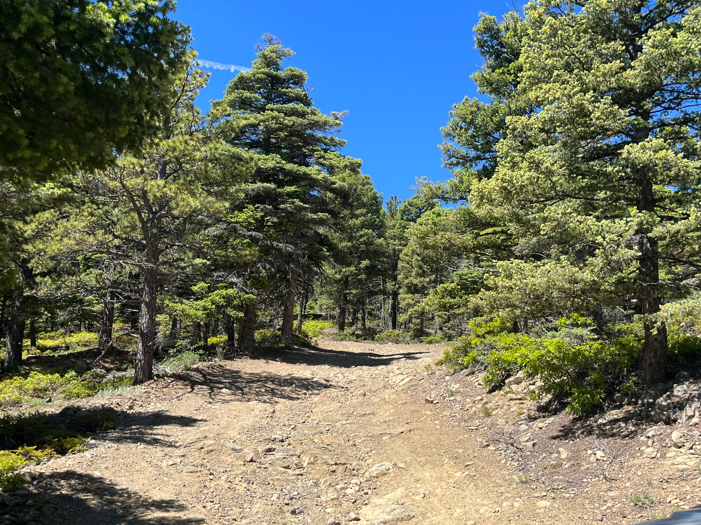
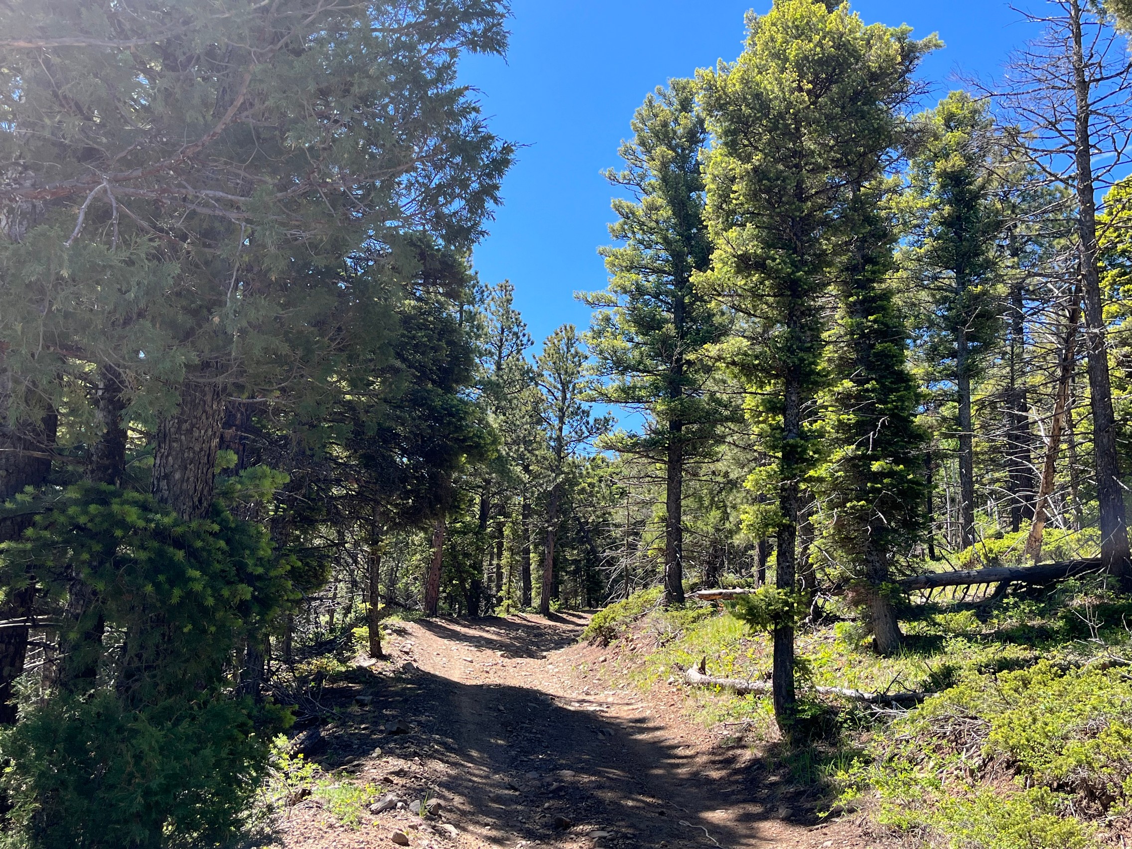
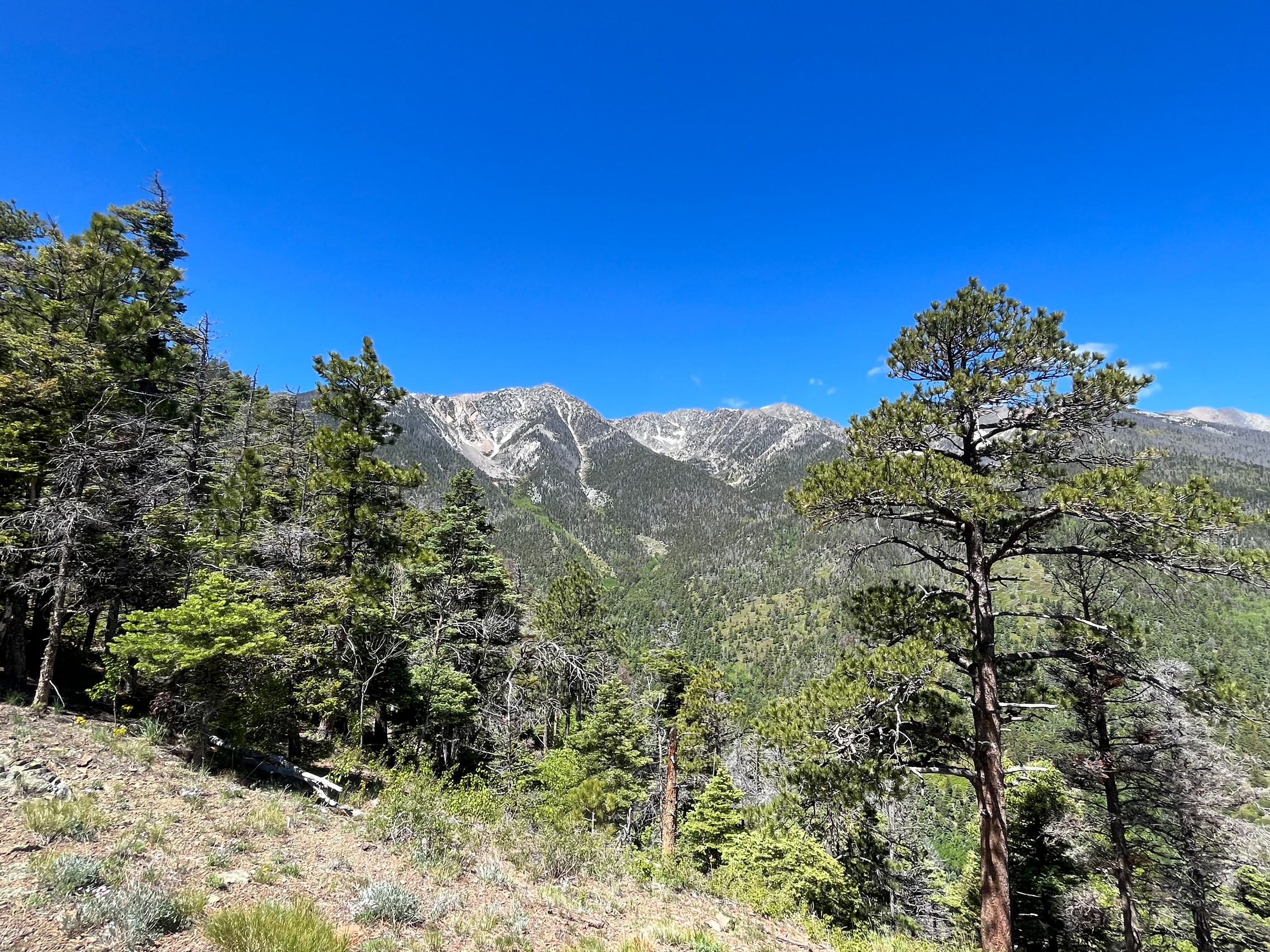
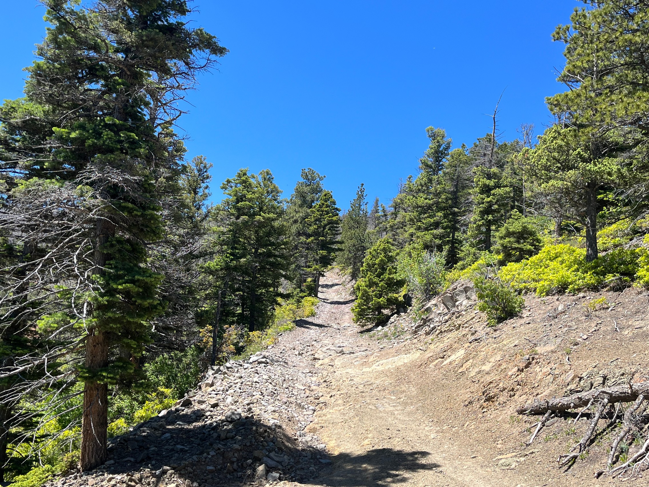
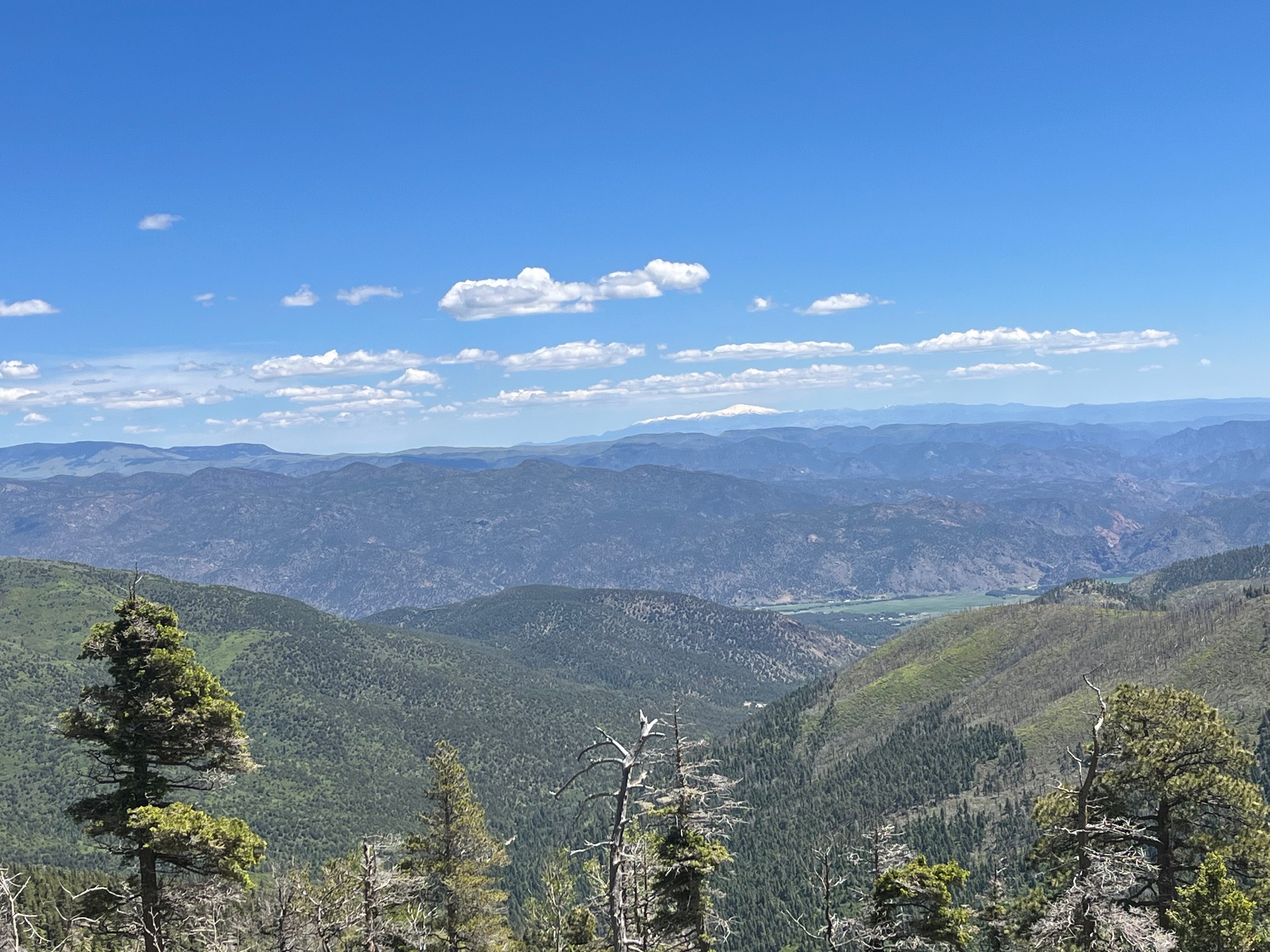
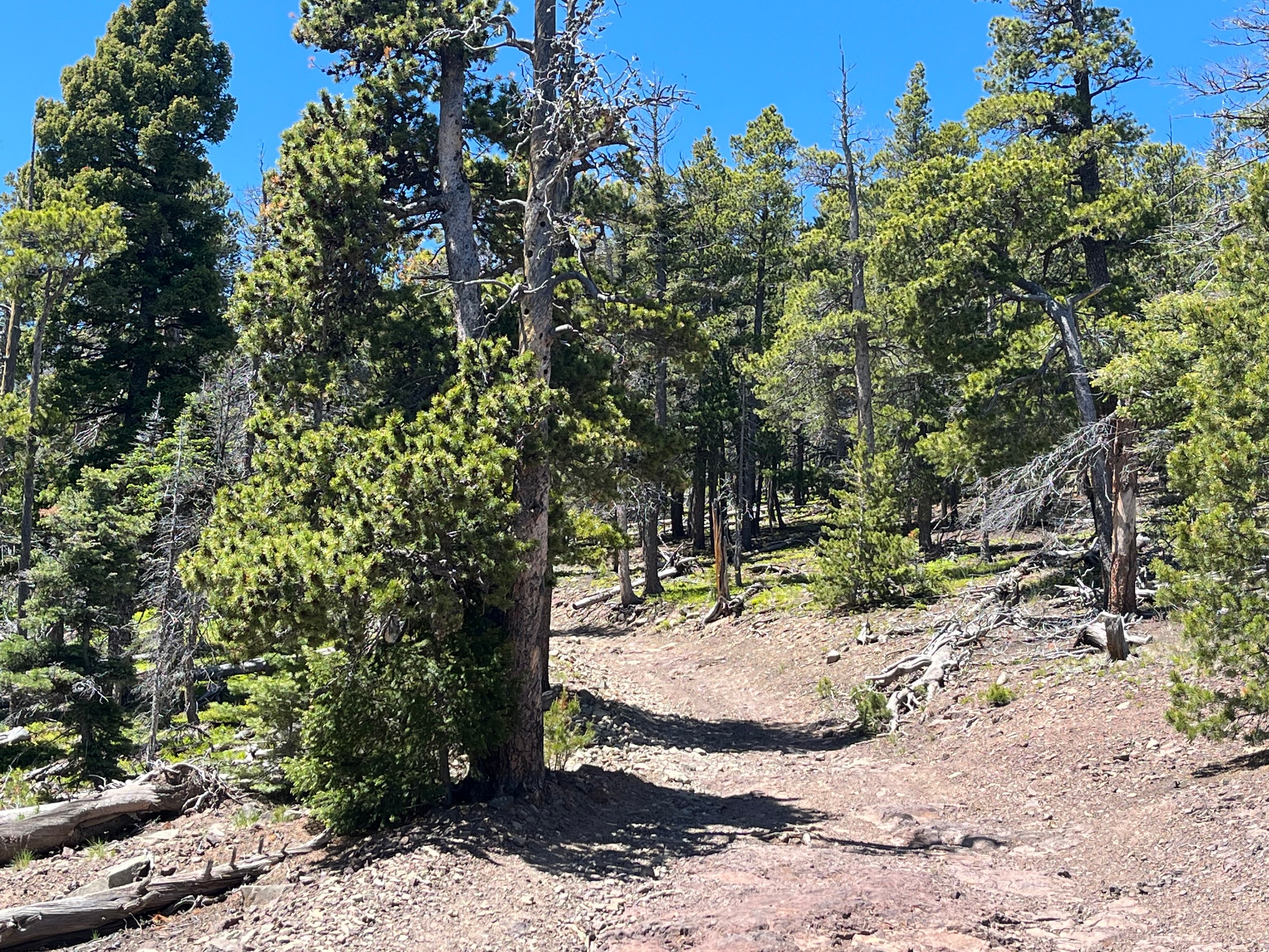
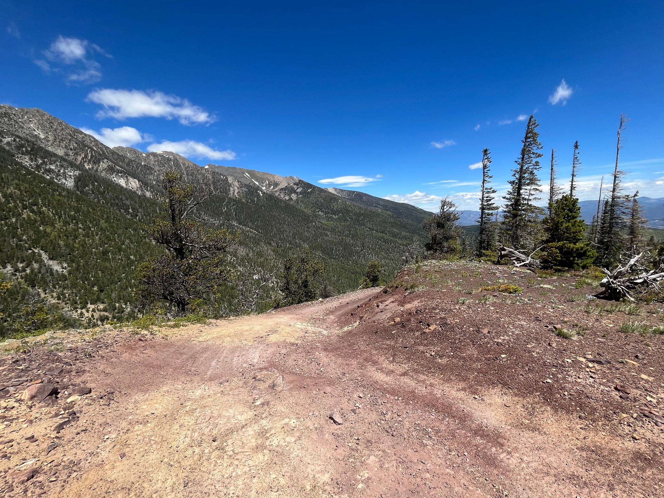
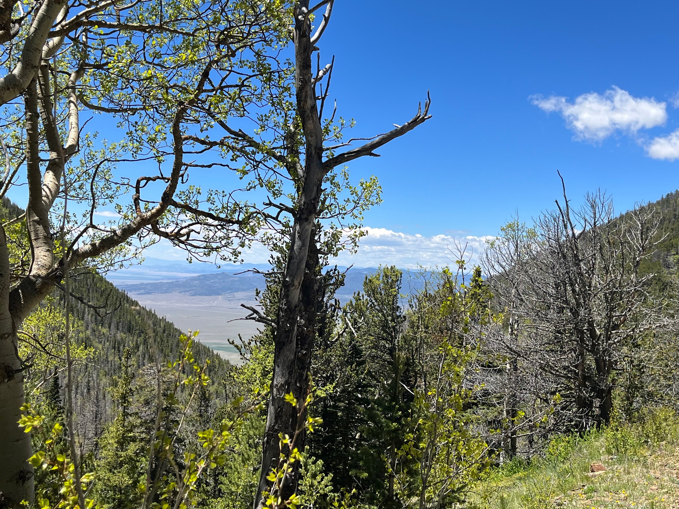
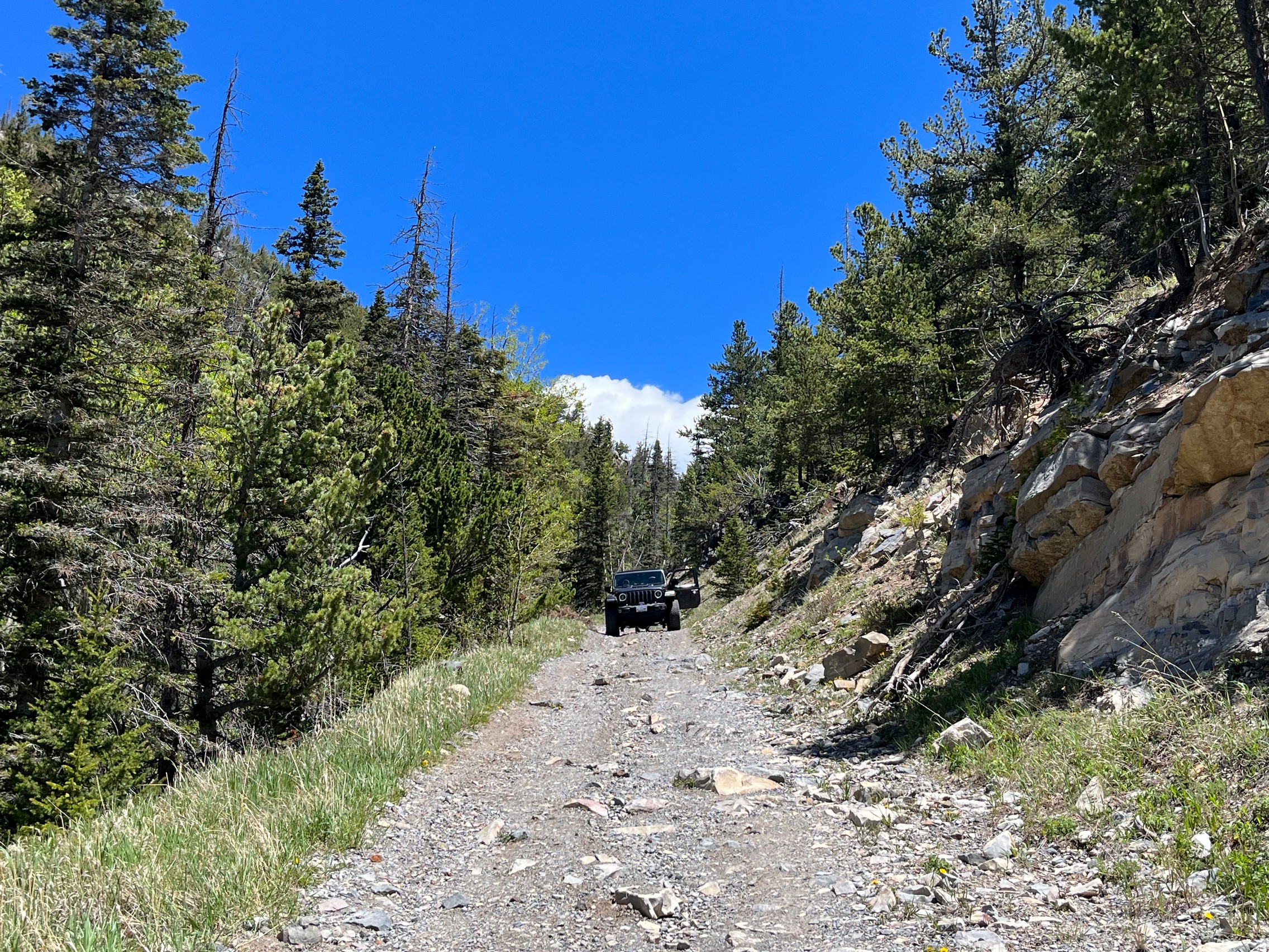
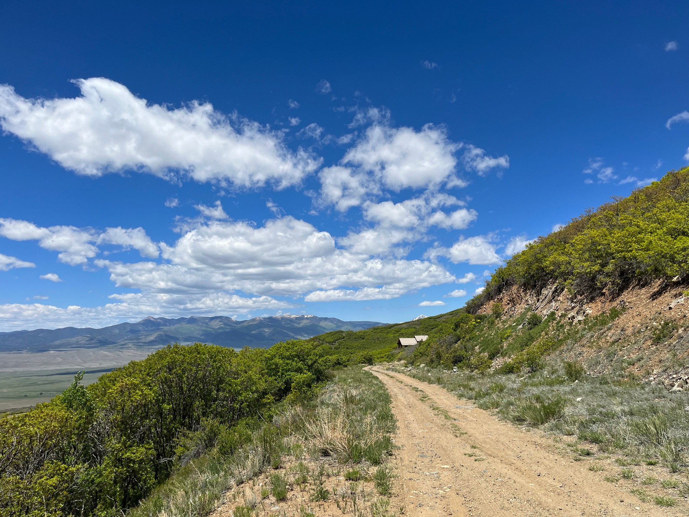
The first part of Hayden Pass was a nice hill climb with great views. The trail was rocky and required high clearance, but it was not particularly difficult. We both did not have any issues with the hill.

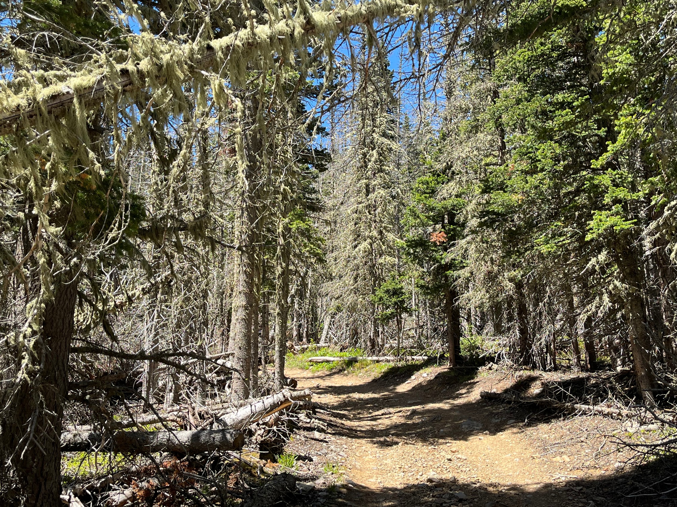
There were a few nice camping spots and there were a few people camping.

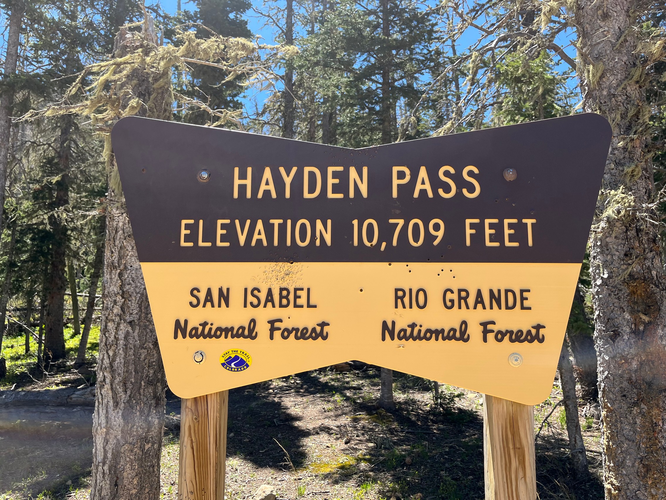
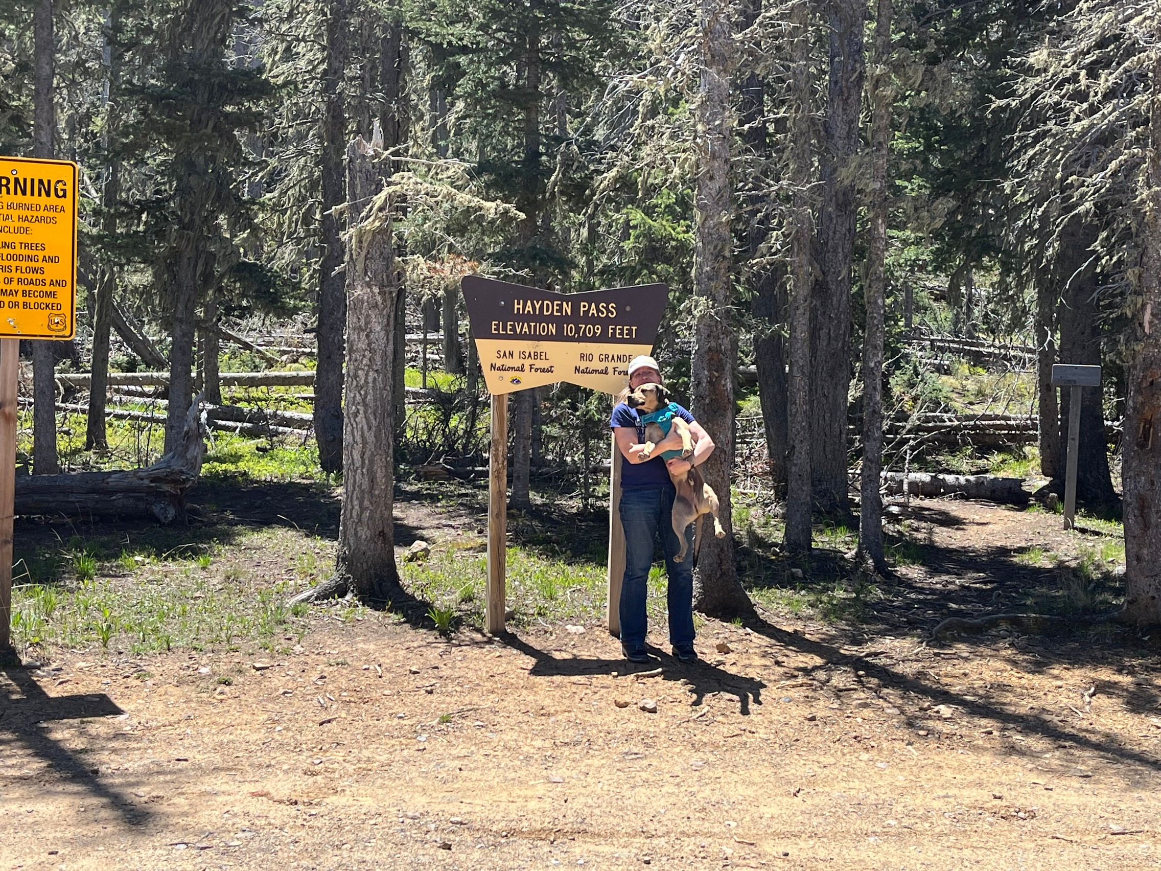
The very top of Hayden Pass (an elevation of 10,709 feet) is about halfway through the trail. There is a big parking lot and trailhead for hiking trail 754, the Black Mountain Trail. This trail is not open to any vehicles. We stopped there for lunch before going down the pass on its west side.

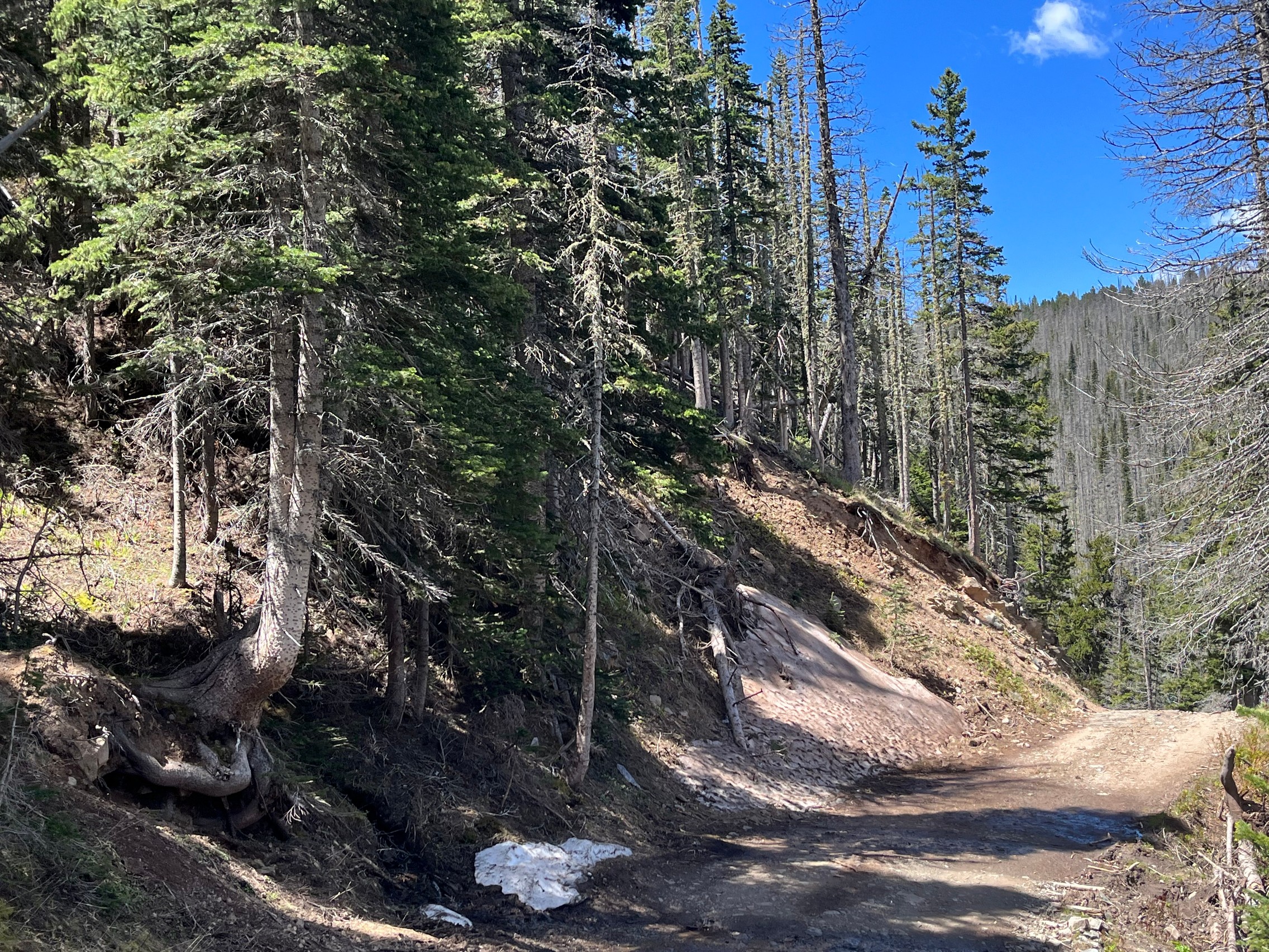
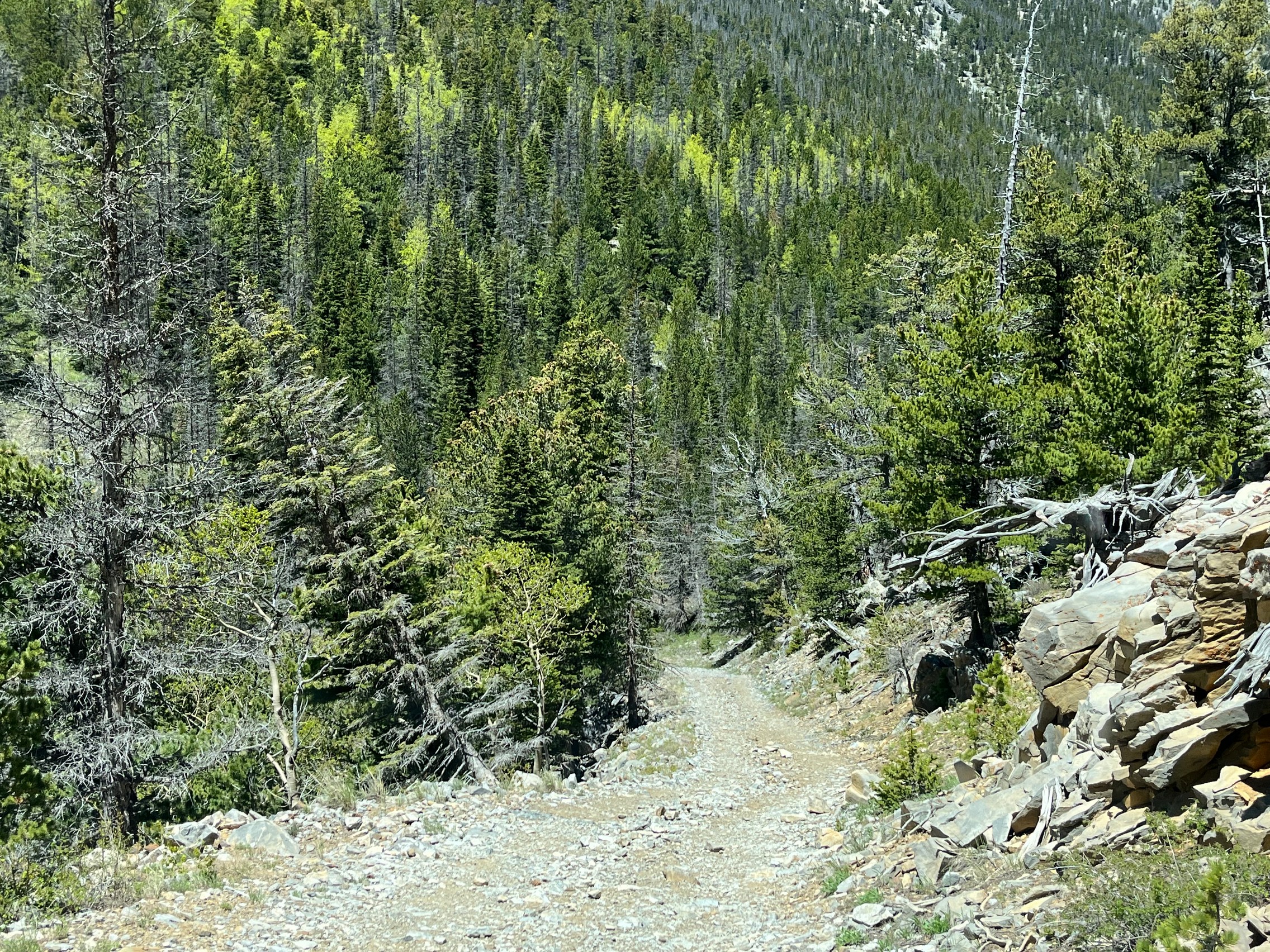
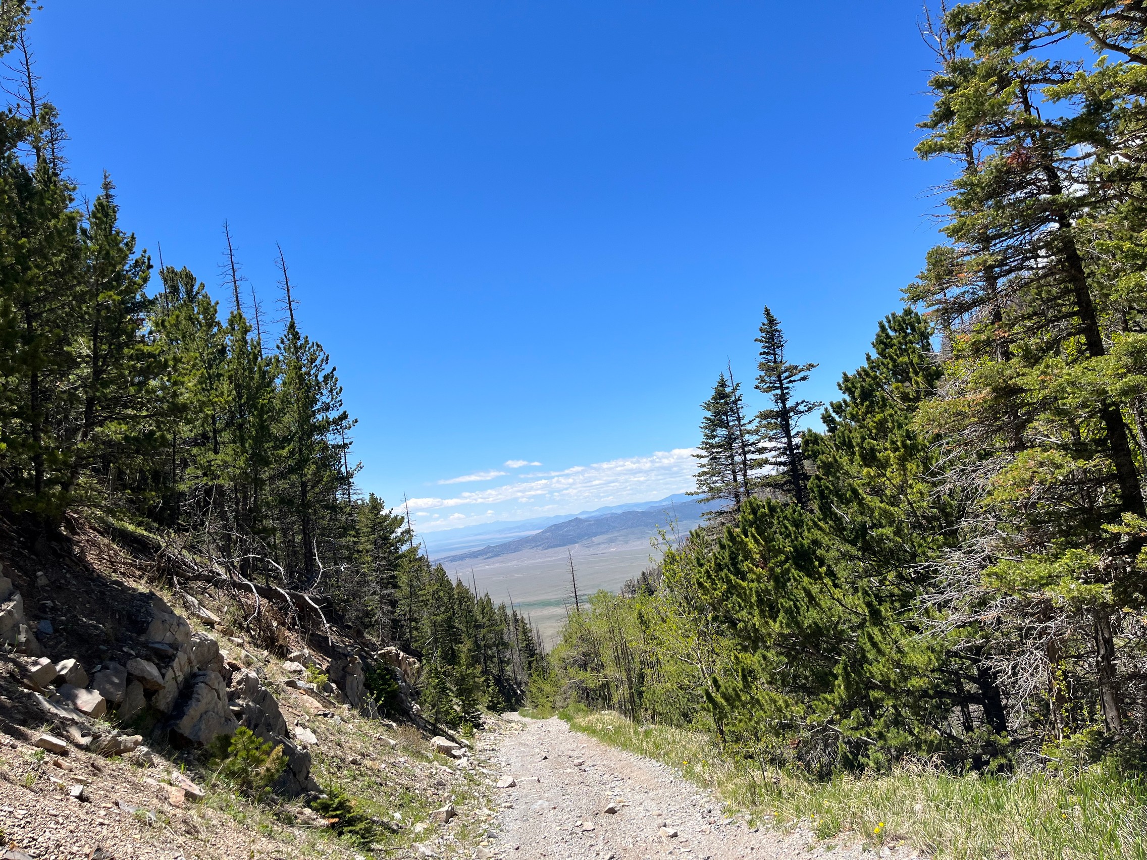
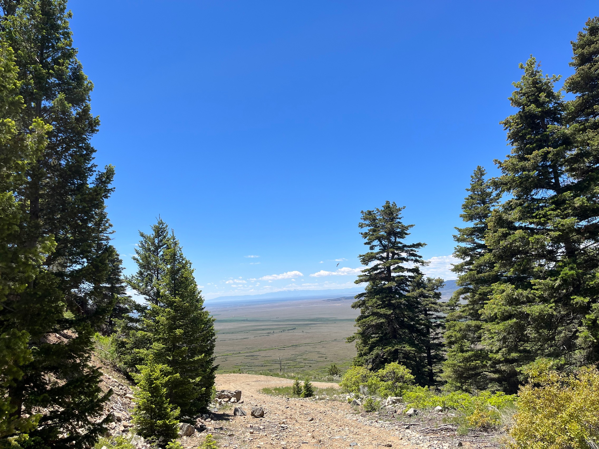
Near the end of Hayden Pass on the way down the other side, the trail is very long and steep. It is probably easier to drive on than the east side, but it was very steep with loose rock and gravel.

At the bottom of the Hayden Pass trail we drove to the end of the dirt road and aired back up for the hour drive to the Great Sand Dunes and Medano Pass.
IMG_4795
IMG_4796
IMG_4797
IMG_4798
IMG_4799
IMG_4800
IMG_4802
IMG_4803
IMG_4804
IMG_4805
IMG_4806
IMG_4808
IMG_4809
IMG_4810
IMG_4811
IMG_4812
IMG_4813
IMG_4814
IMG_4815
IMG_4816
IMG_4817
IMG_4818
IMG_4819
IMG_4820
IMG_4821
IMG_4822
IMG_4823
IMG_4824
IMG_4825
IMG_4826
IMG_4827
IMG_4828
IMG_4829
IMG_4830
IMG_4831
IMG_4832
IMG_4833
IMG_4834
IMG_4835
IMG_4836
IMG_4837
IMG_4838
IMG_4839
IMG_4840
IMG_4841
IMG_4842
IMG_4843
IMG_4844
IMG_4845
IMG_4846
IMG_4847
IMG_4848
IMG_4849
IMG_4850
IMG_4851
IMG_4852
IMG_4853
IMG_4854
IMG_4855
IMG_4856

Report from a Different Day

August 5, 2005

Led by Monica I.
This trail ended up being a nice surprise for everyone. We expected nothing more than a dirt road shortcut on…
Join Us!
If you aren’t a Member or Subscriber, you can’t see all of the content on this site. Get membership information to see why this site is best when you join and log in

Information for Subscribers

When you log in you’ll see more information here:

  • Recent Community Forum posts
  • Recent polls
  • Upcoming Events you can attend
  • Links to online users

© 2000-2026 · TrailDamage.com · Terms and Conditions · About · Contact
Trail information is only accurate on the date posted. Trails may have changed or closed since that date. Use this information for historical purposes only.
Contact the Forest Service or Bureau of Land Management for up-to-date trail information.