Grand Bench

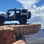

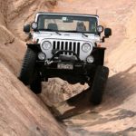
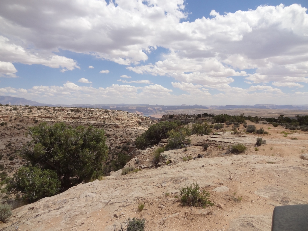
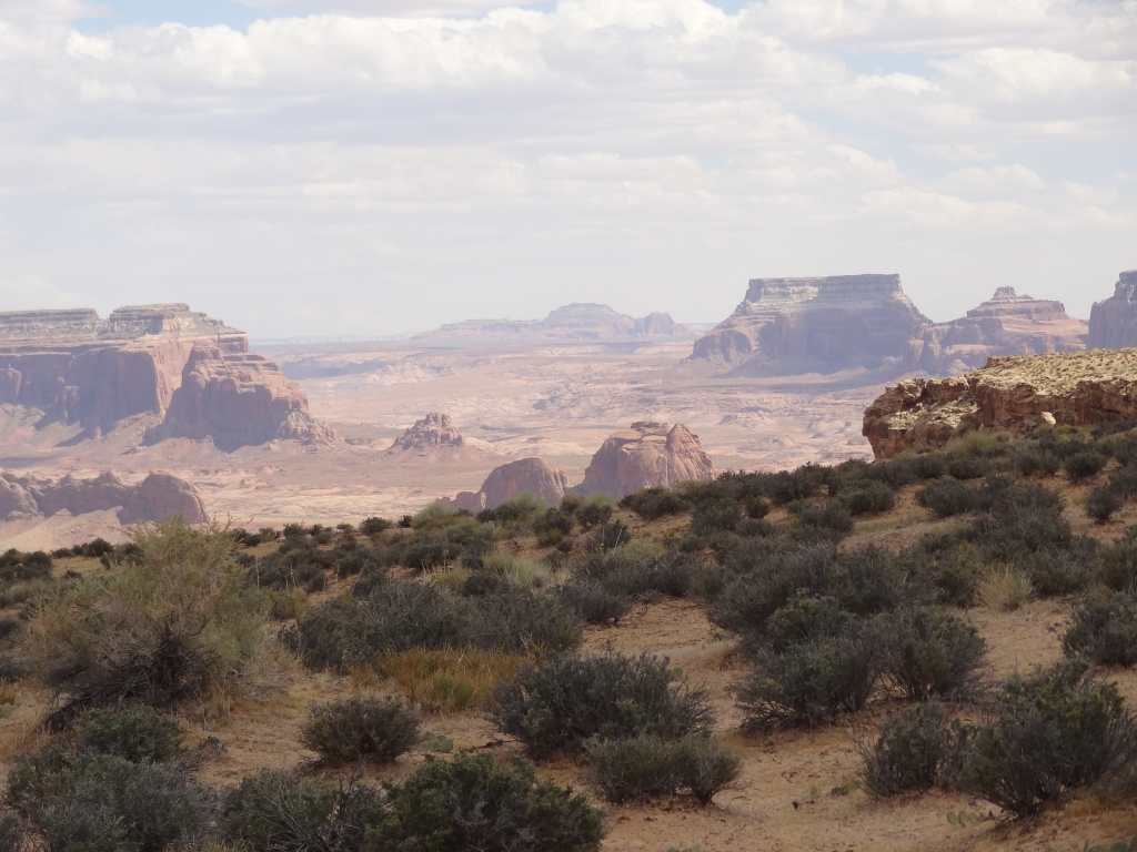
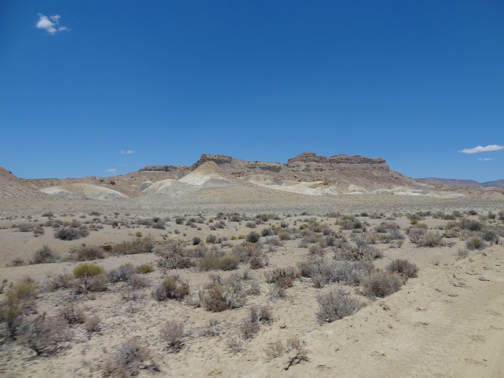
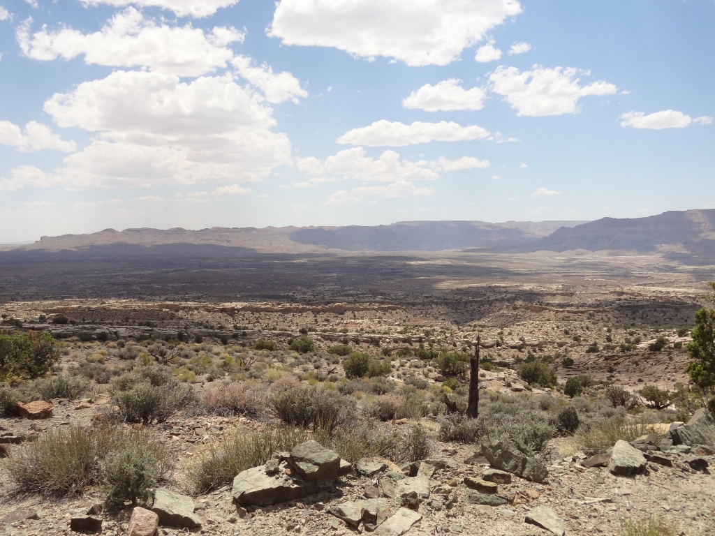
Most of the group agreed that Grand Bench was the best trail of our vacation. Yes, it was remote, but it was fun as well as very scenic. We had the whole thing to ourselves as we came off of Croton Road and headed onto the bench.
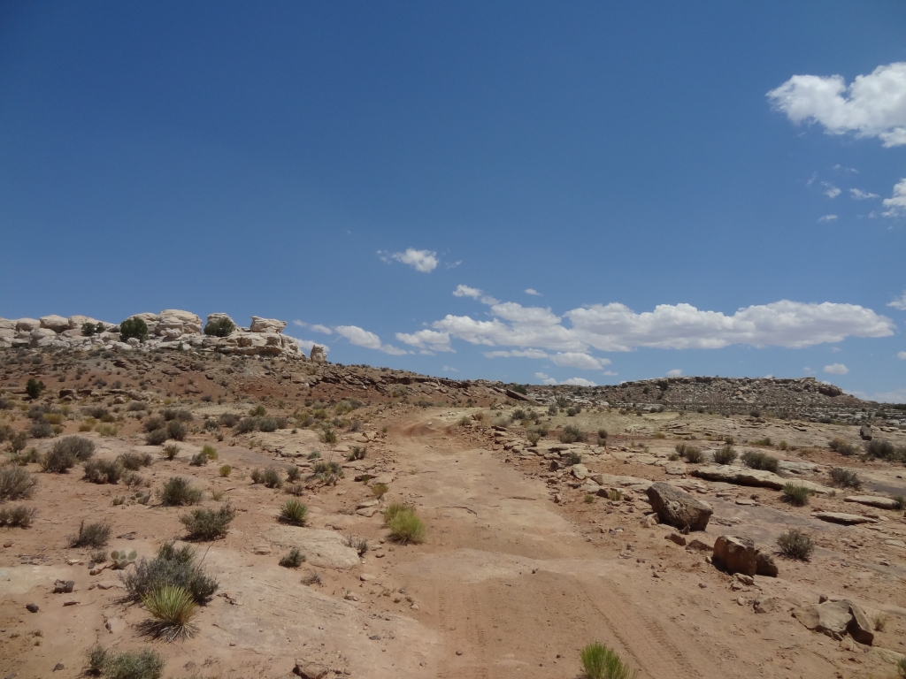
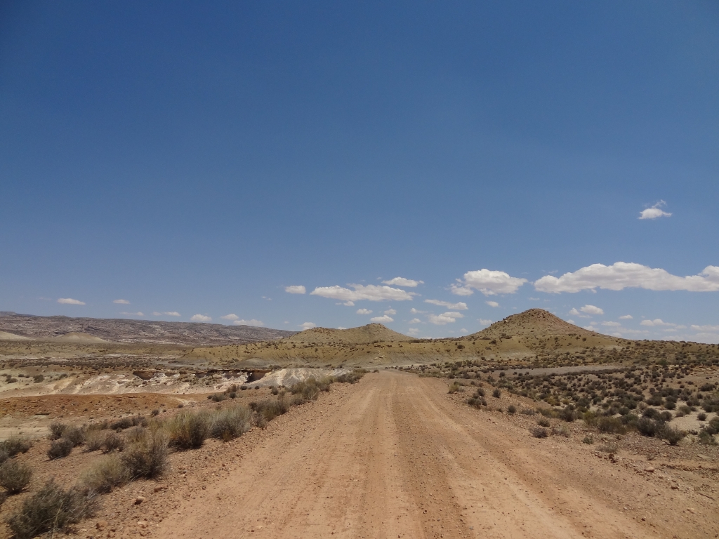
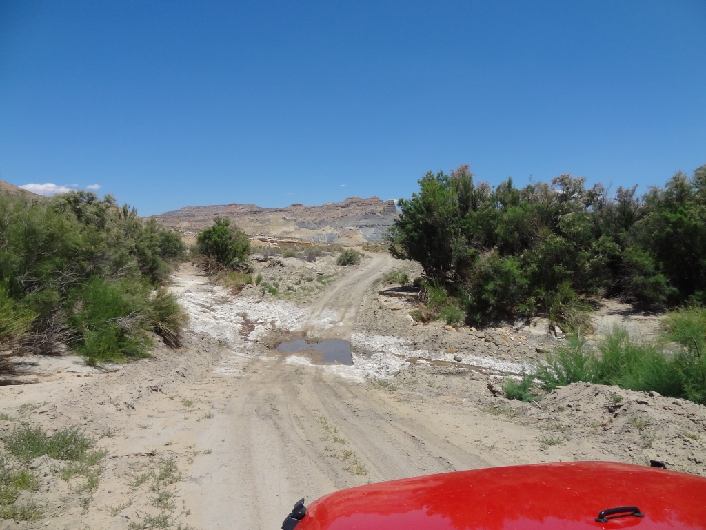
At first, the trail seemed like it was going to be a less-maintained version of Croton Road. We came to the closed gate and discussed our options. There were no signs, and the road continued on the other side. We knew the trail was on maps on public lands, so we went through the gate and closed it tightly.
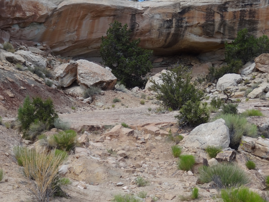
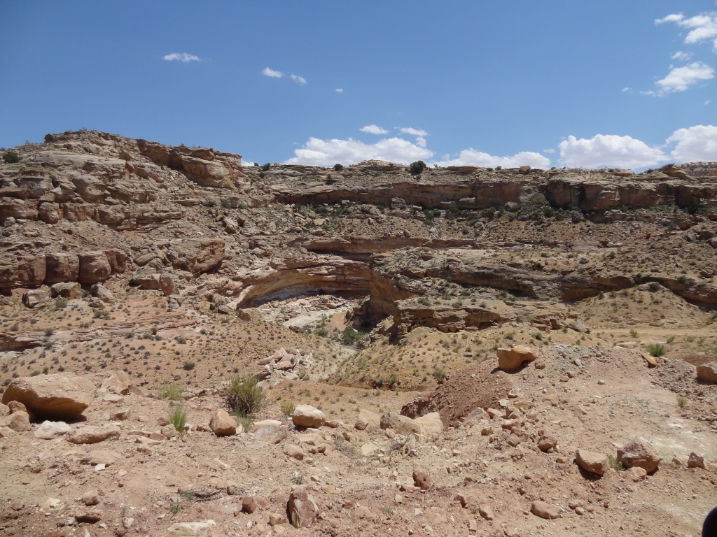
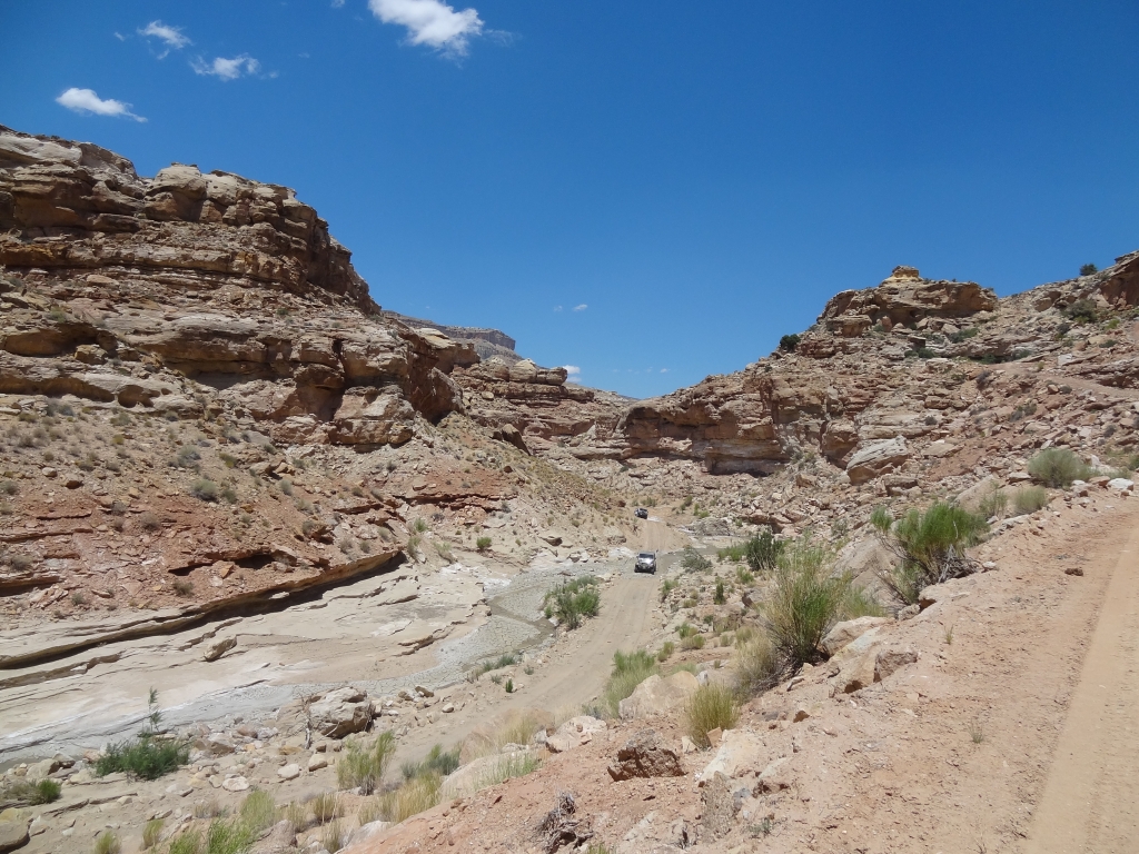
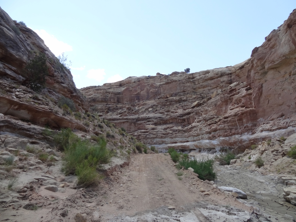
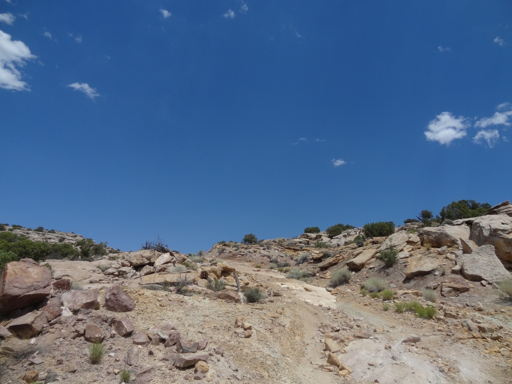
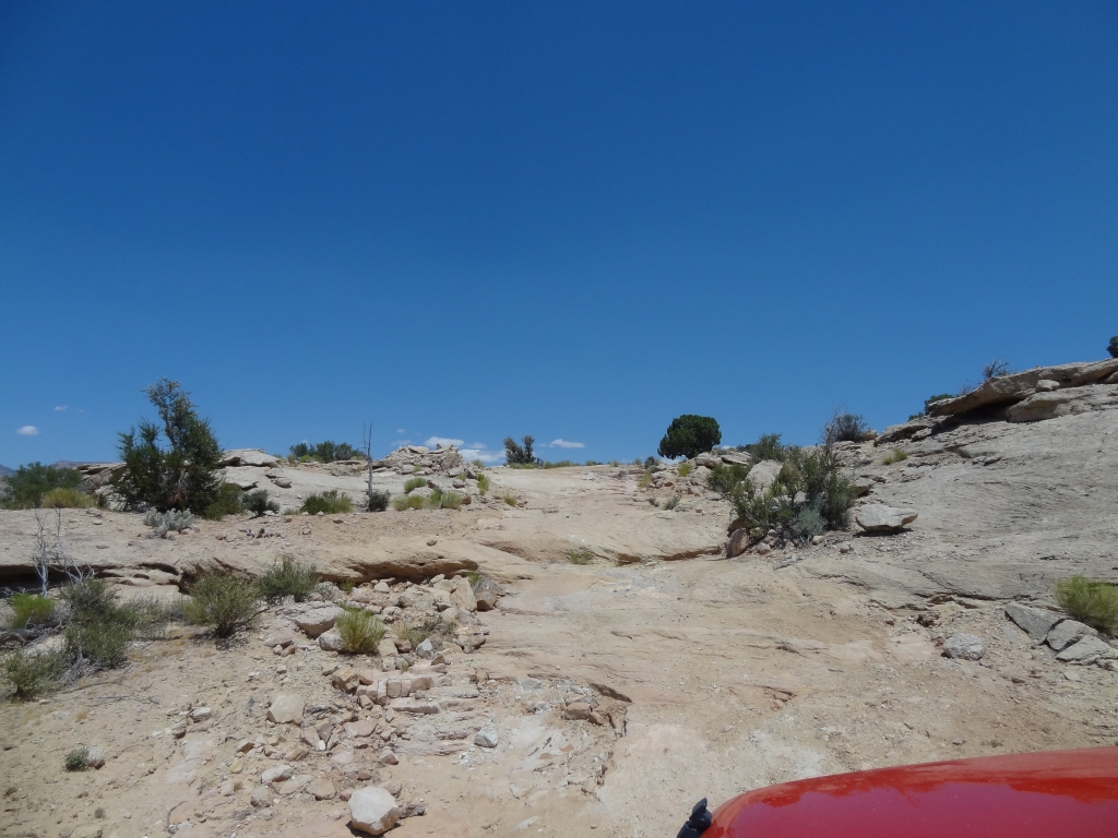
We headed down the hill and into the tight canyon. It was nice down there, and we knew it would be a bad place to get stuck in a flash flood. Then we started heading up out of it and the trail got steeper and steeper. Definitely not a place to be in the rain!
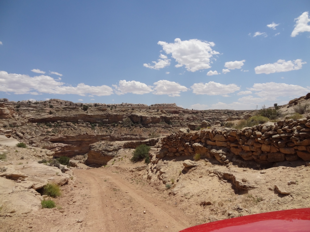
It was a fun hill, and then we found some "shake and bake" action. In other words, we were shaken back and forth repeatedly by the trail as we cooked in the Utah sun. Still, we'd been on smooth dirt for most of the trip so it was a nice change. There were even a few bumpy spots for some fun.
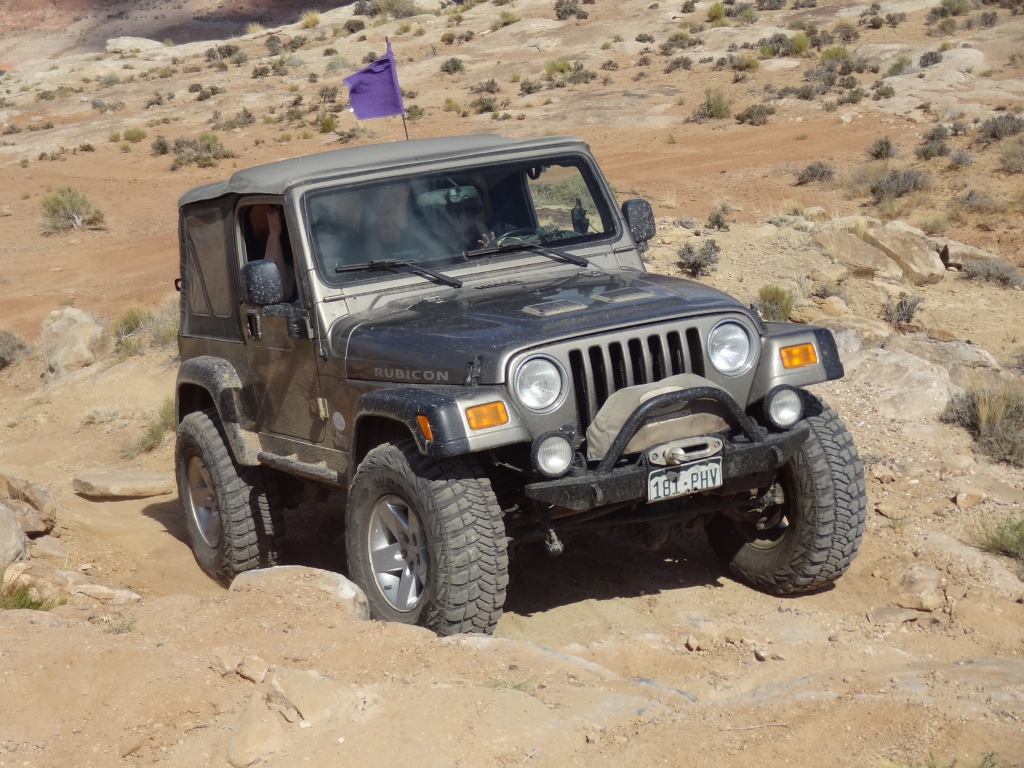
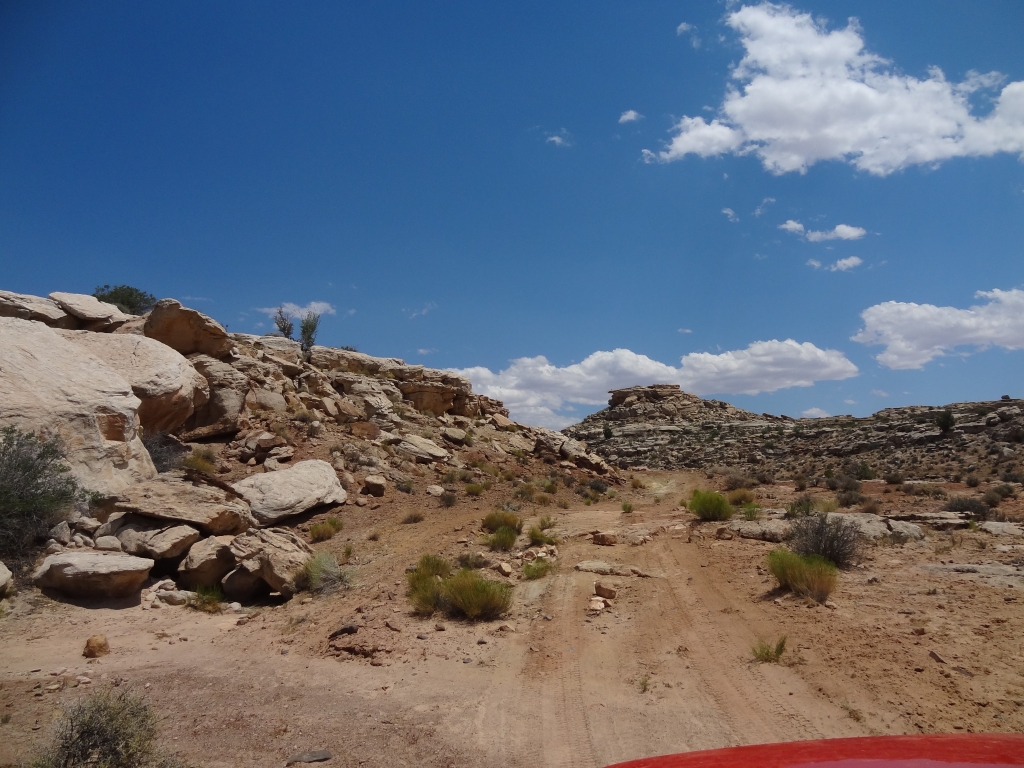
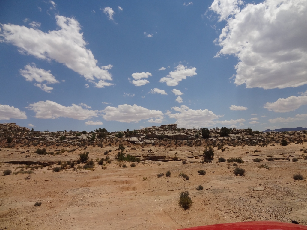
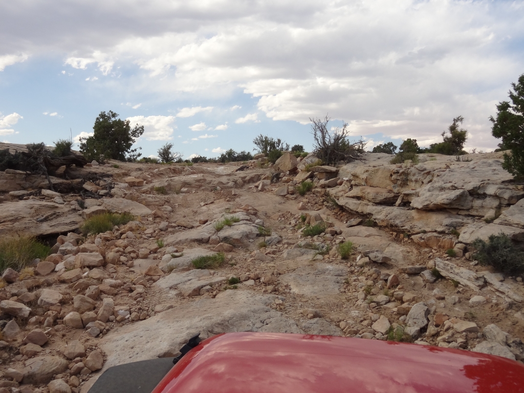
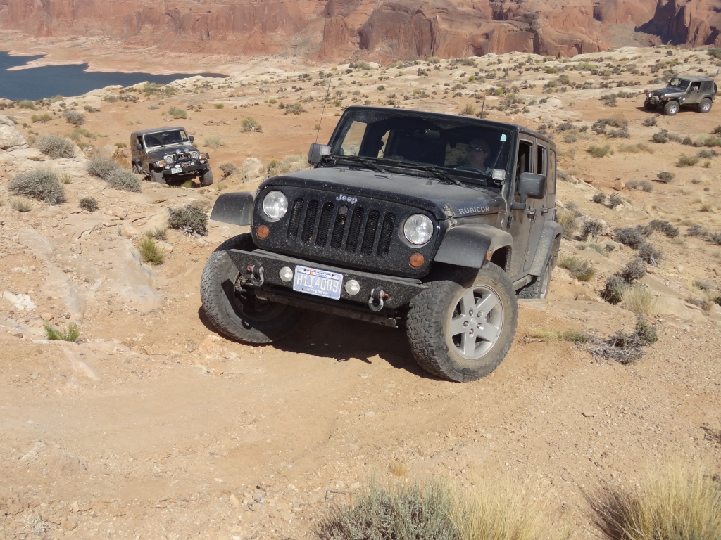
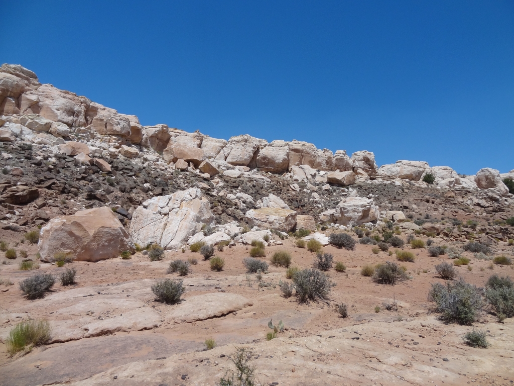
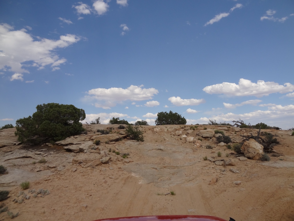
We were cruising along and we came to big sections of slickrock. That's more like it! We found ledges and other fun bits along the way.
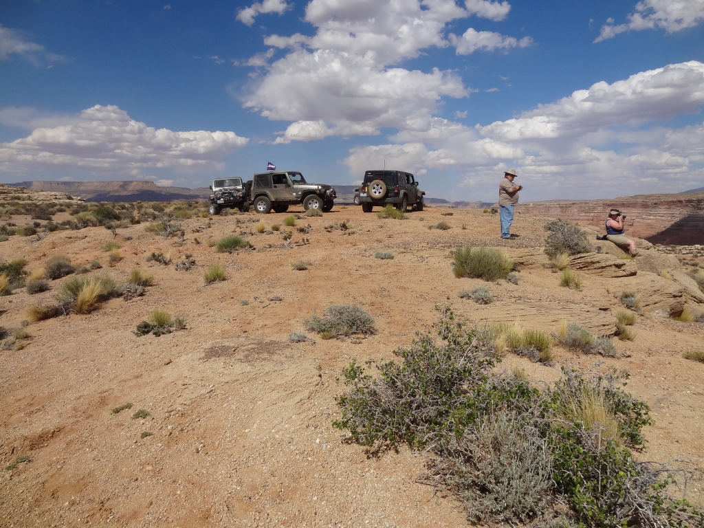
We took a break to discuss the fading light and our great distance from the pavement. We even considered splitting up. In the end, we realized we had come that far and we were going to see the end, so we kept going.
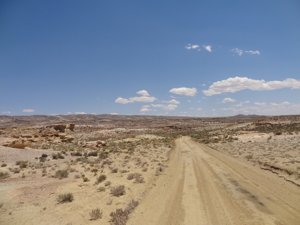
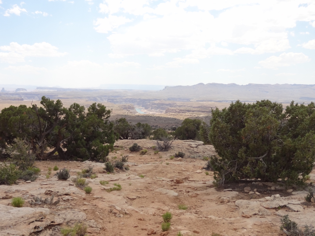
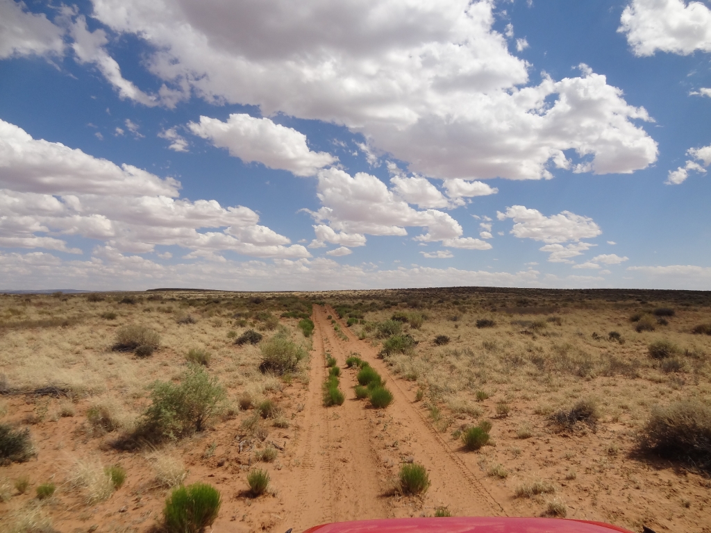
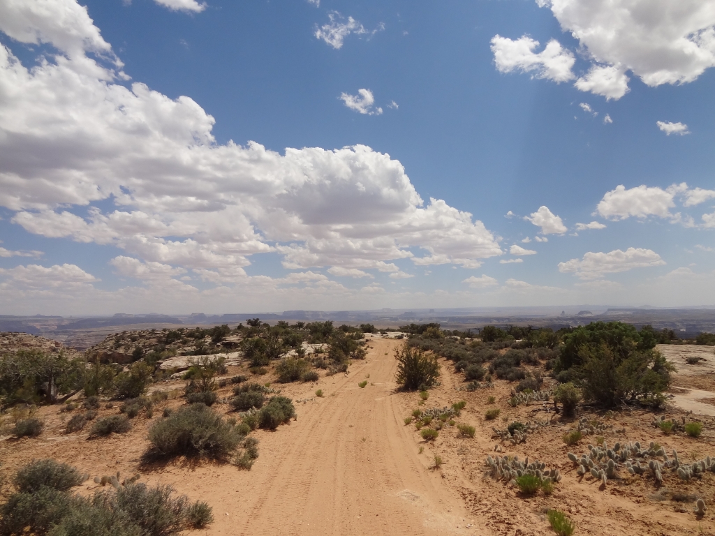
When the slickrock ended we found ourselves on relatively straight, sandy trail. We picked up the pace, and made really good time. We watched the GPS as we got closer and closer to the water. Would the trail go all the way to the edge at the end?
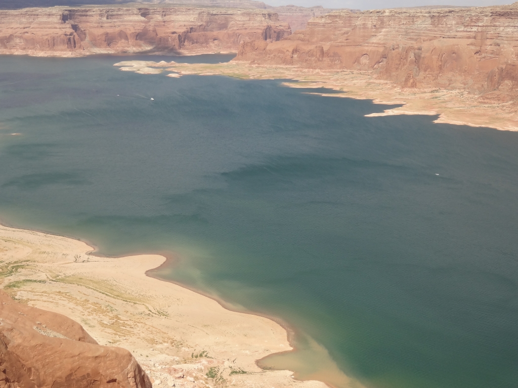
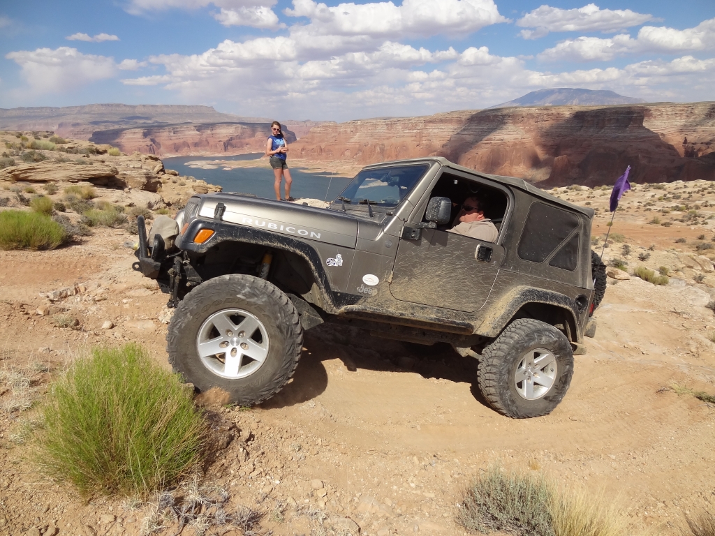
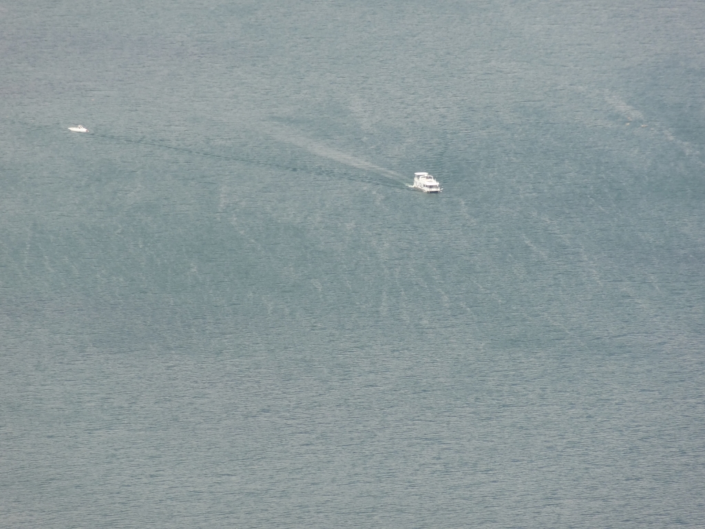
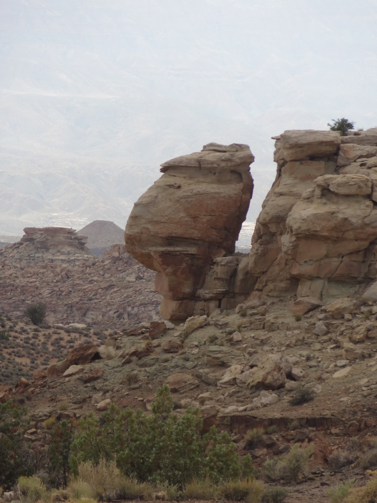
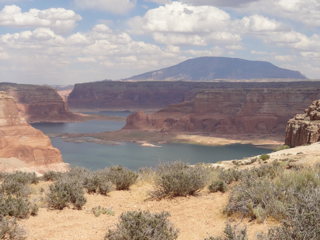
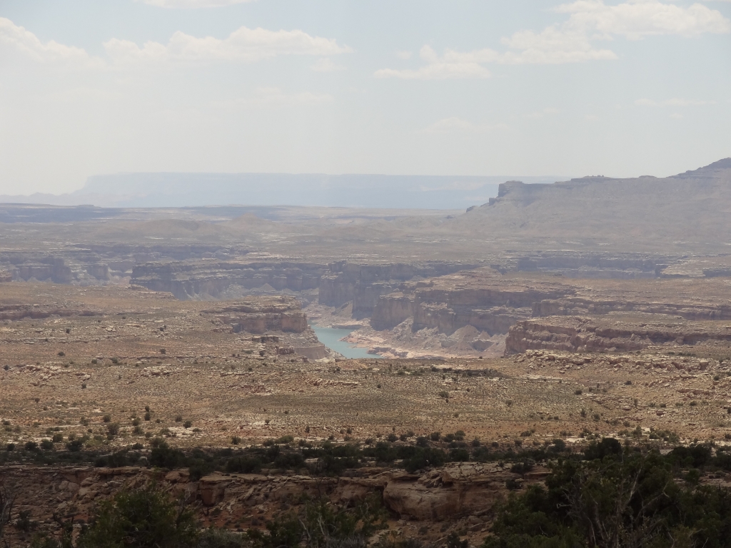
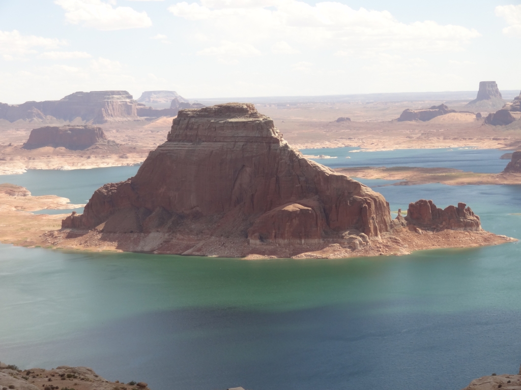
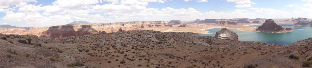
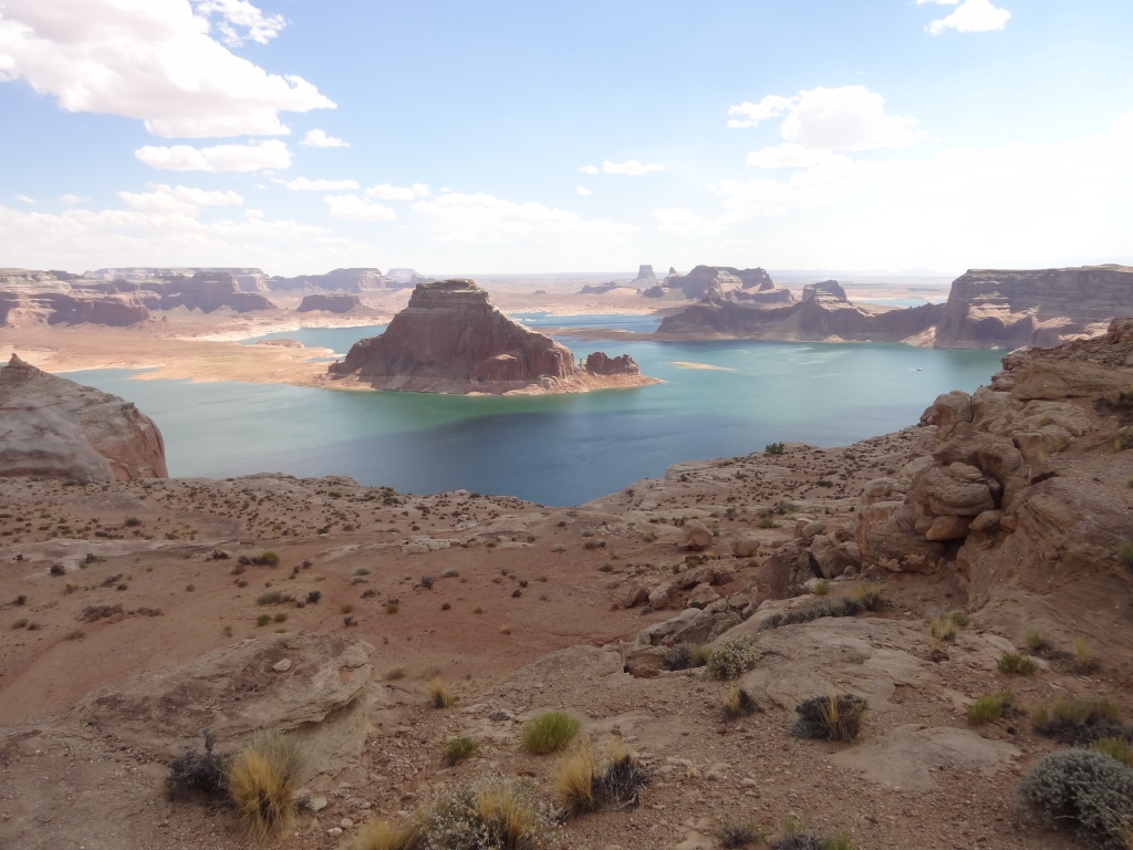
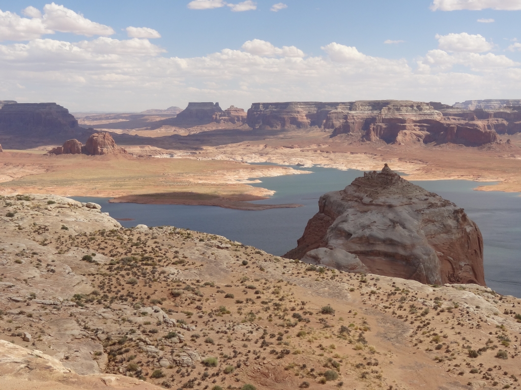
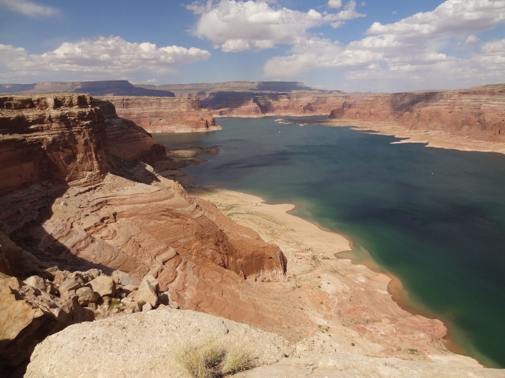
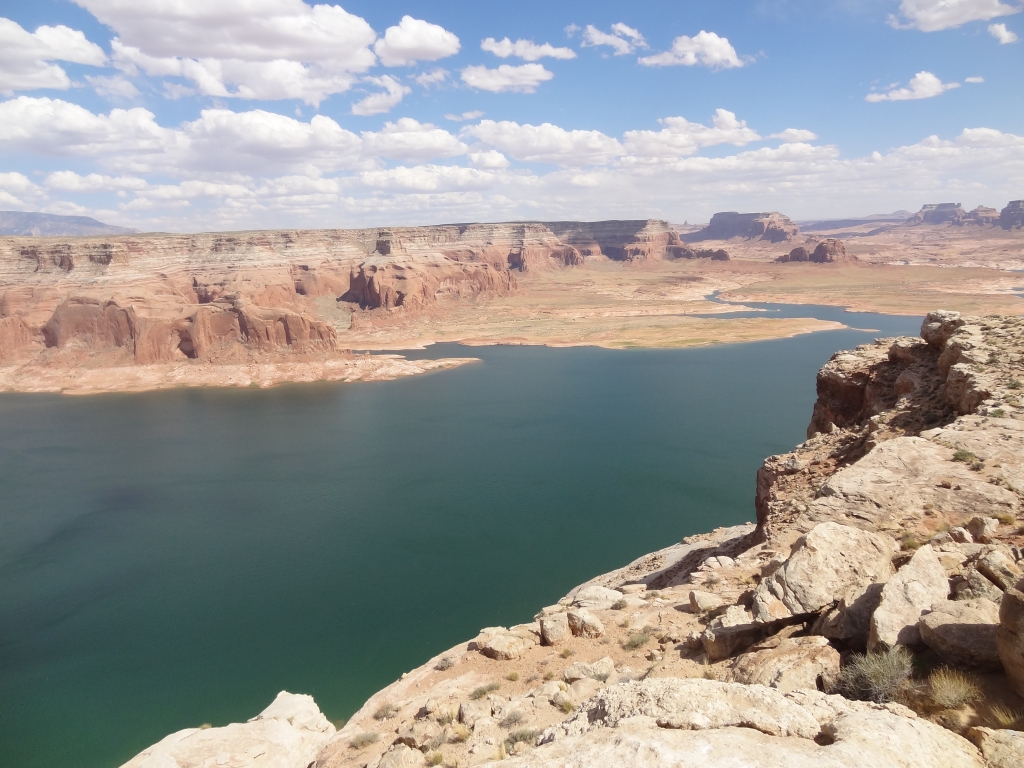
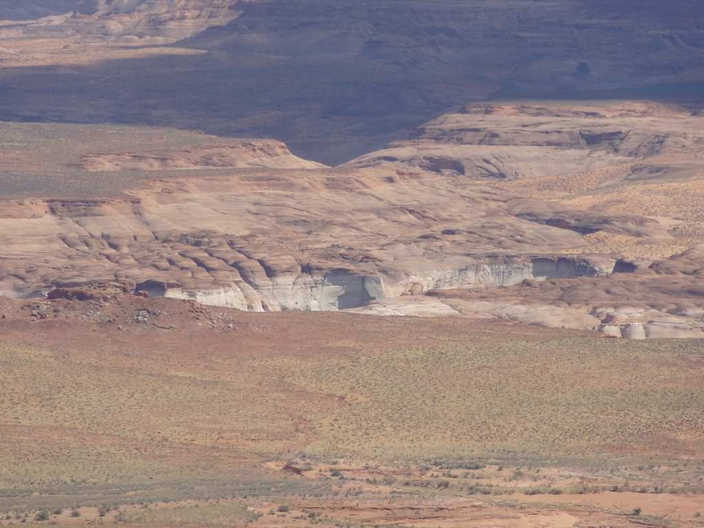
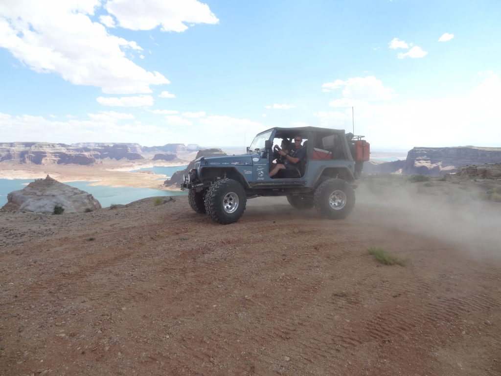
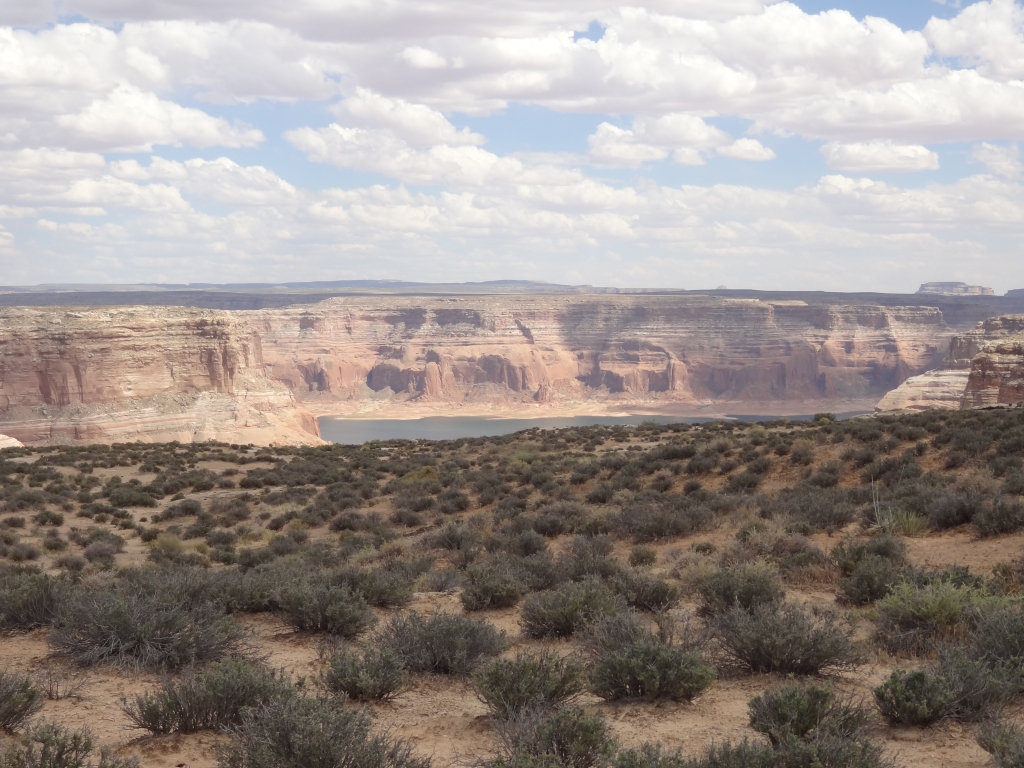
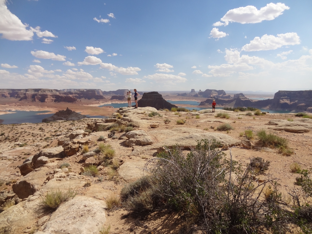
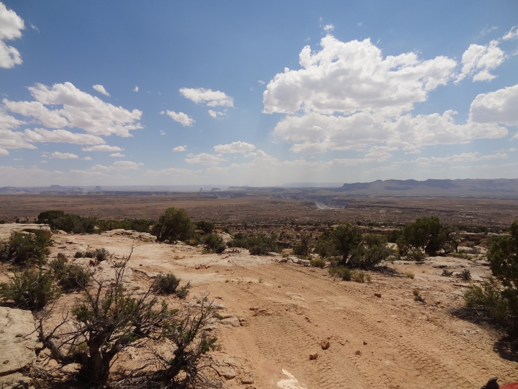
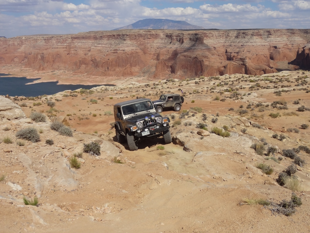
It would! When we got there everyone was grinning from ear to ear. It was worth driving most of the day. The water below us was blue and huge. We could see tiny little houseboats below us, and gorgeous scenery all around.
We went to the second overlook for still more views, finding the best obstacle in between the two overlooks. It was fun on the way down, but even more fun on the way up. We could have stayed out there all day.
We had a long way back, though, so we had to turn around eventually. We got spread out pretty far as a group, but we all knew the way back. It didn't seem to take long to get back to the gate where we regrouped.
If you have a decent 4x4 this trail can't be missed! This was one of the major highlights of our trip.