Glencoe Ditch
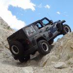

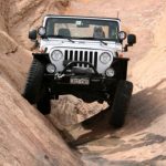
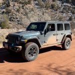

We'd had a really good day of wheeling already, but we were close to our home base in Naturita and there was still some daylight left. We'd hoped to see Starvation Point when we were on Copper King Road, but we found out that it was easier to see it from the other side of Tabeguache Basin. Glencoe Ditch looked perfect, so we fit that last trail in for the day.
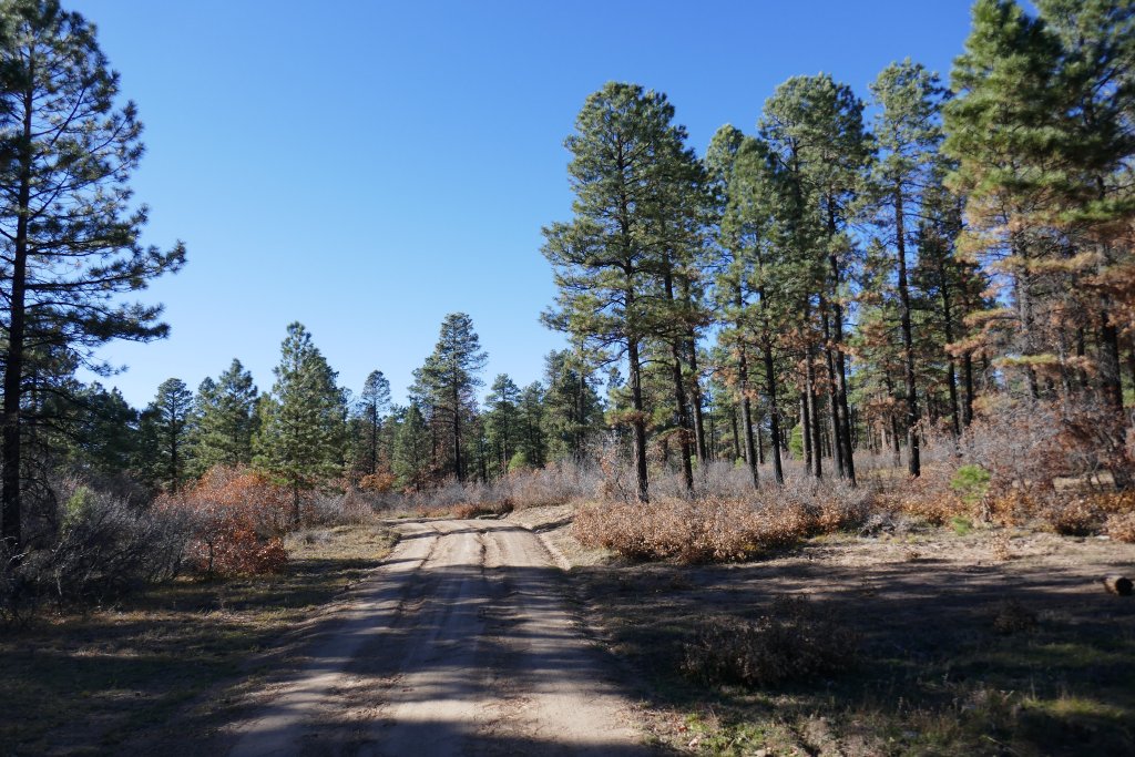
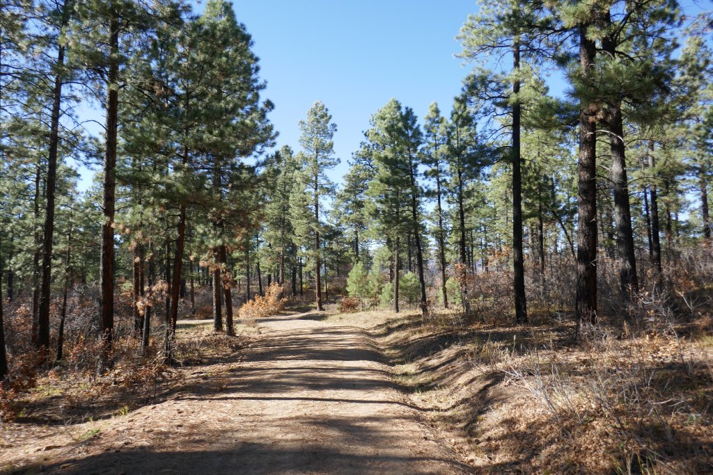
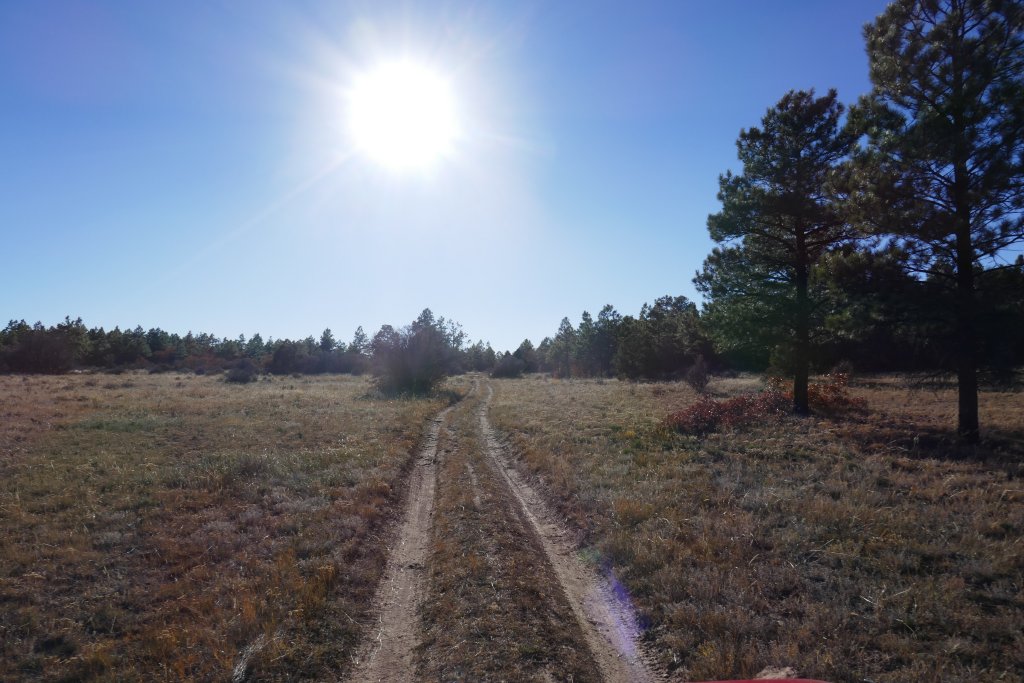
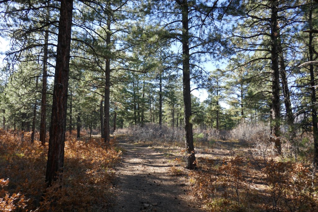
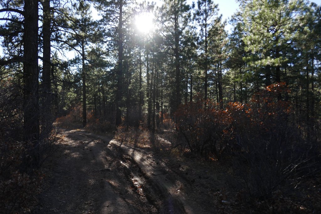
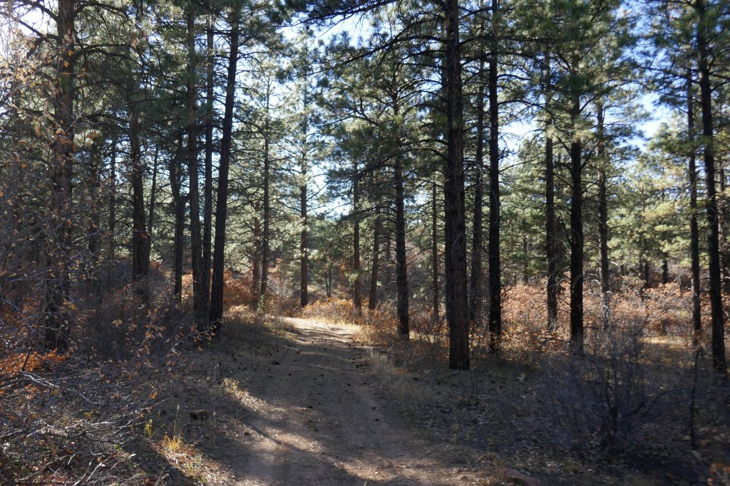
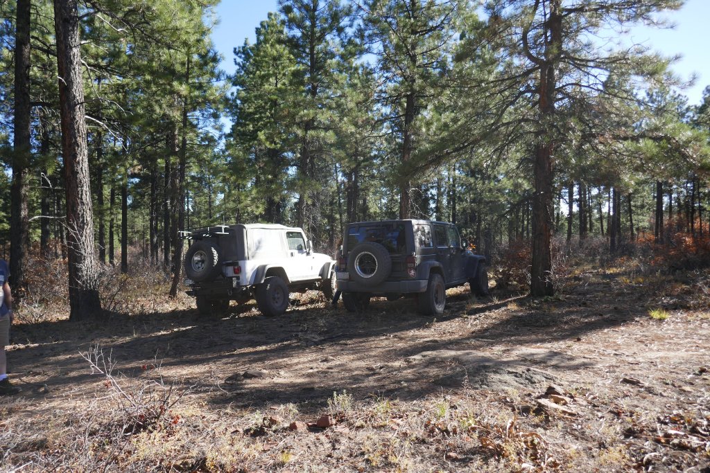
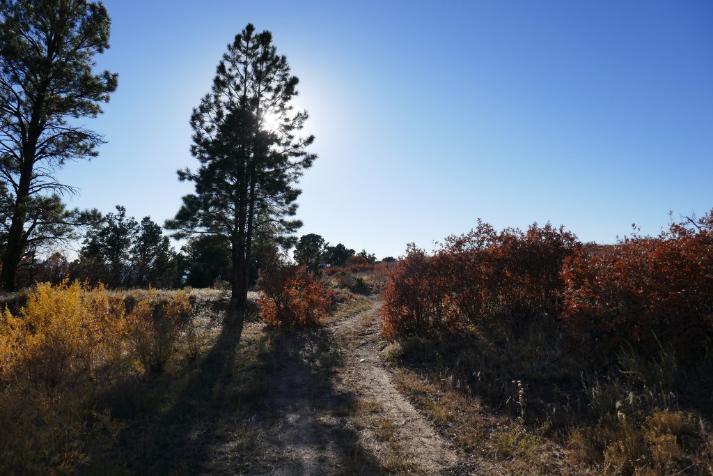
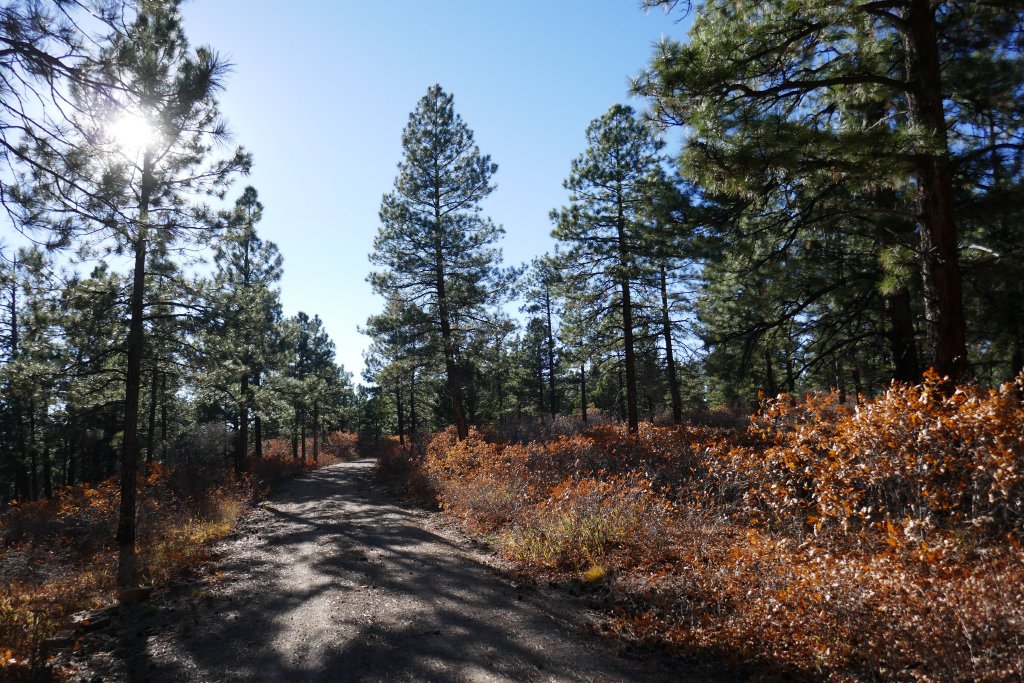
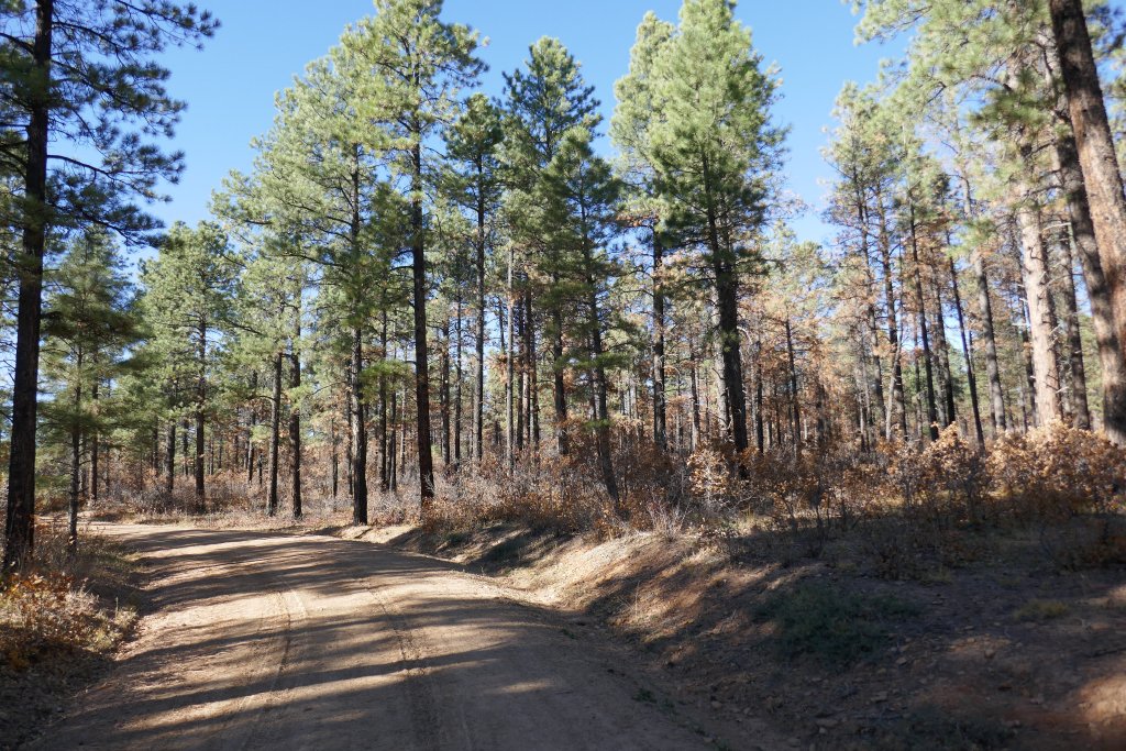
It was a pretty easy trail, wandering through the trees. We took a little break and thought we found a little detour that followed the actual ditch. We took it for a while but it looked like a hiking trail on our maps so we eventually turned around and headed back to the main trail.
We used to stay out until it was dark nearly every time we went wheeling. We all had amazing flashlights for airing up in the dark, and we counted ourselves lucky when we'd be done in time to find a restaurant that was still open in time for dinner. At some point, we stopped doing that, preferring to get off mountains while it was still daylight. So we decided to stick with the trail and not do too much side exploring.
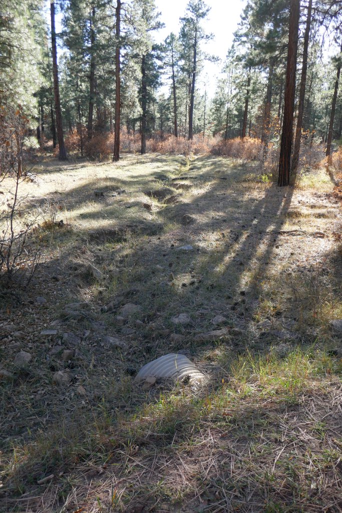
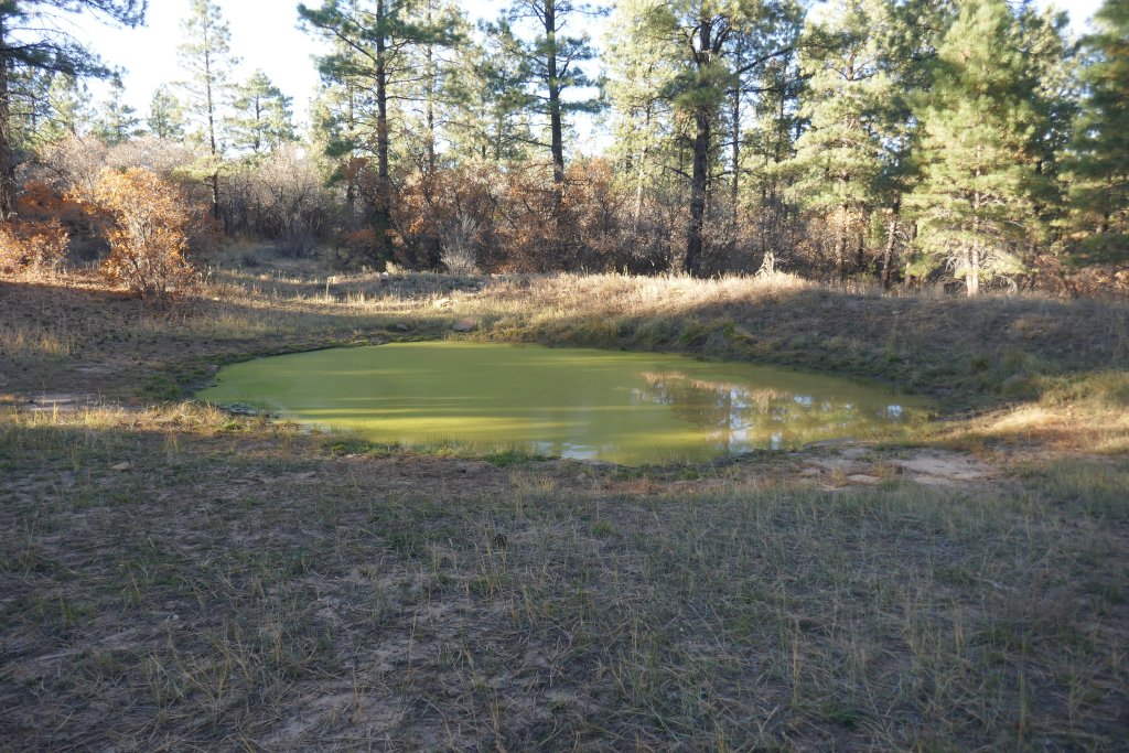
We saw the actual ditch next to the road, but it didn't have any water in it. It was shallow and it looked like it was dug a hundred years earlier. It was interesting, but we didn't get out to check it out any closer than we were while we were still on the trail.
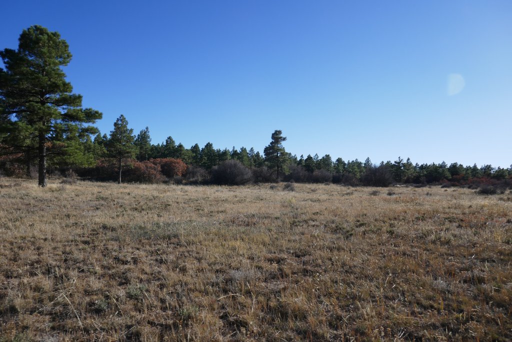
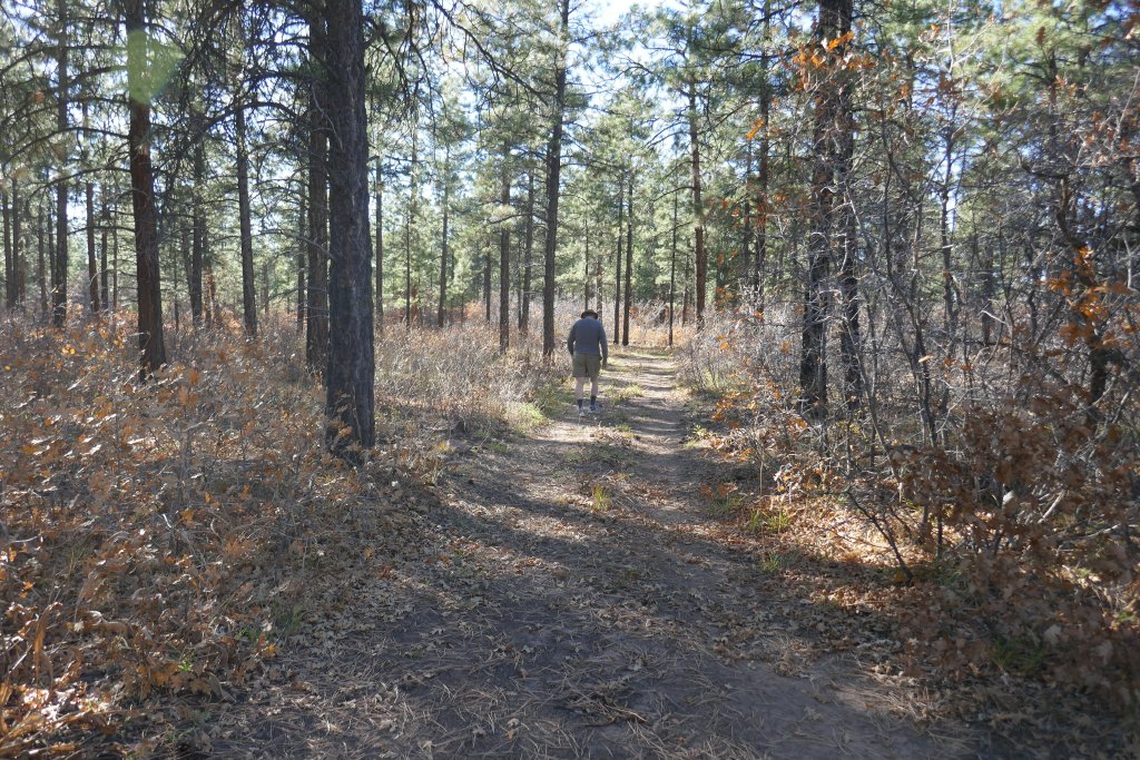
We came to a "Y" intersection and we still had views of Starvation Point in mind so we turned right. The trail eventually got narrow, with scrub oak at both sides. We were almost at the end, so we walked the last bit.
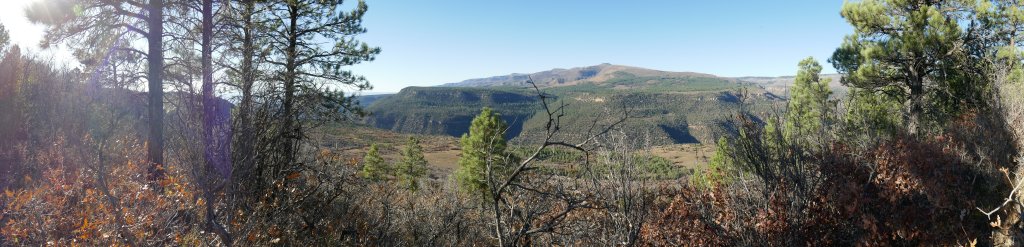
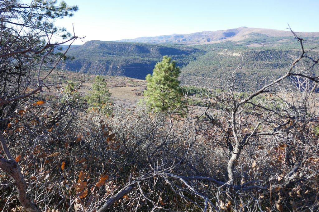
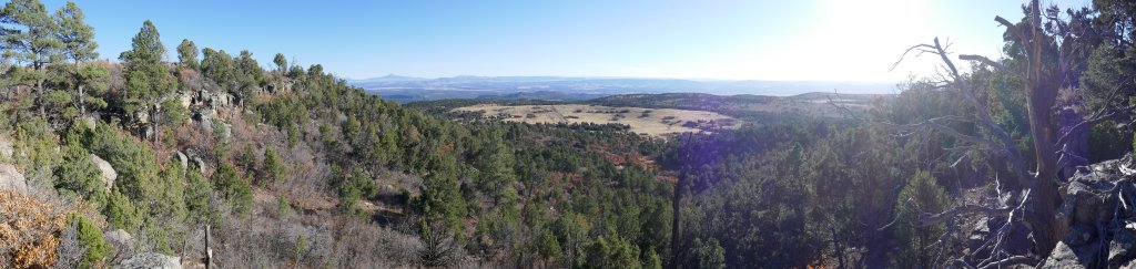
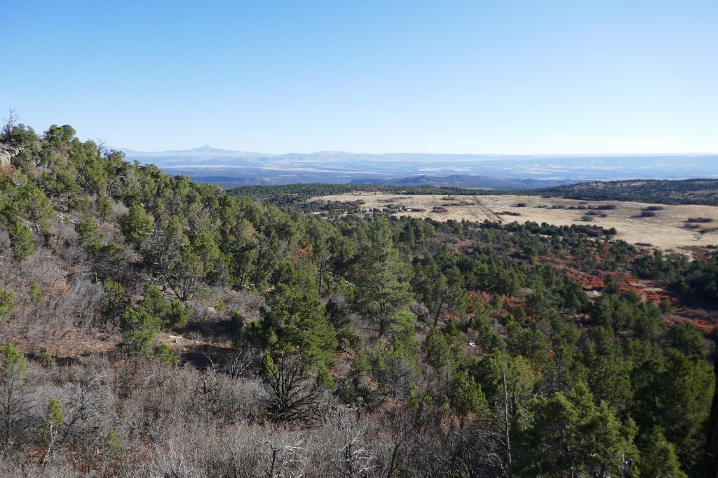
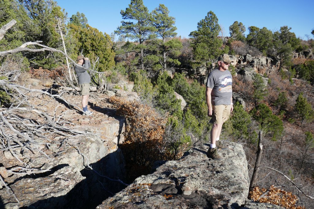
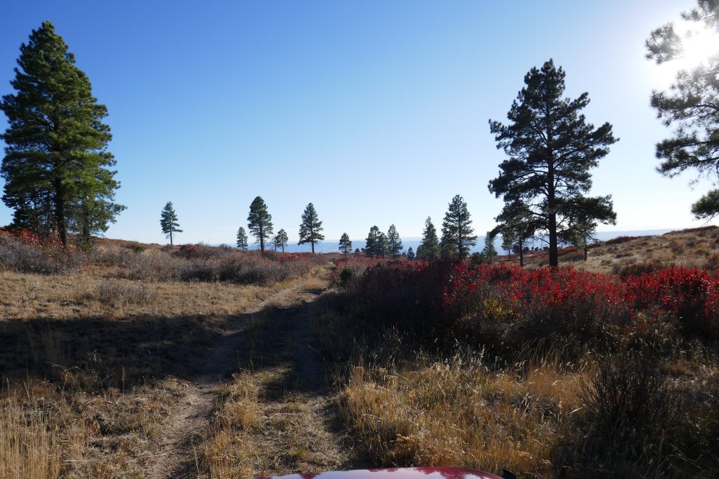
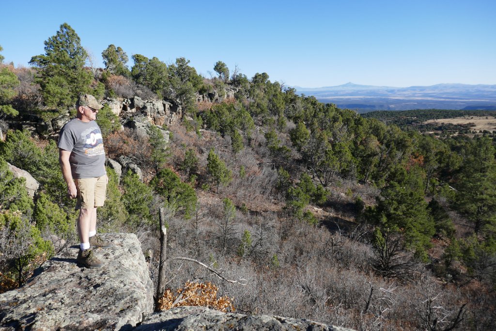
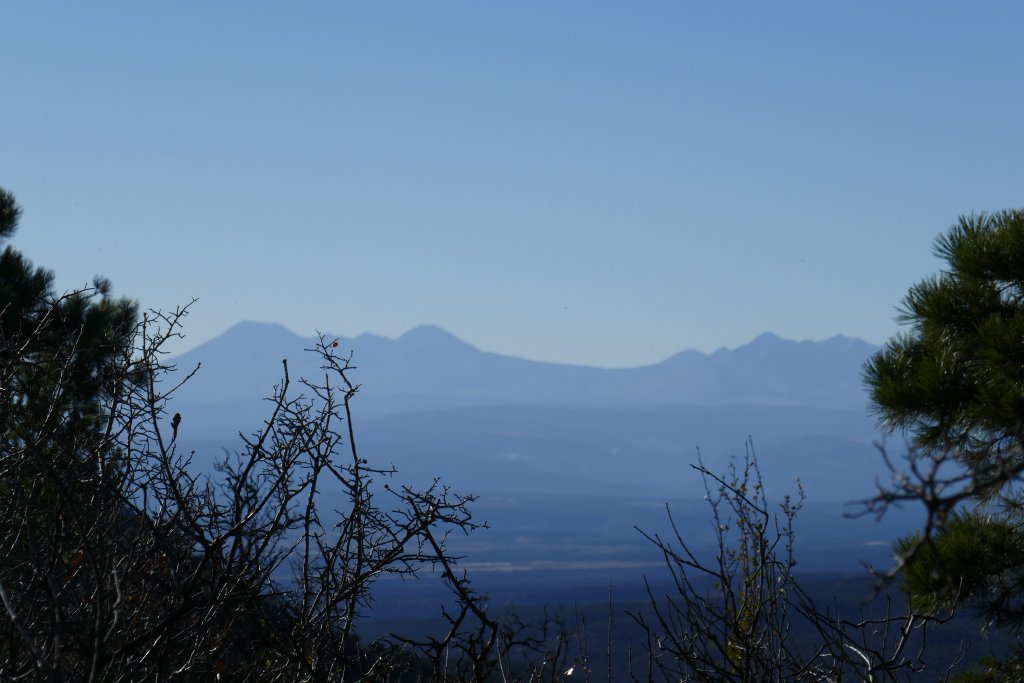
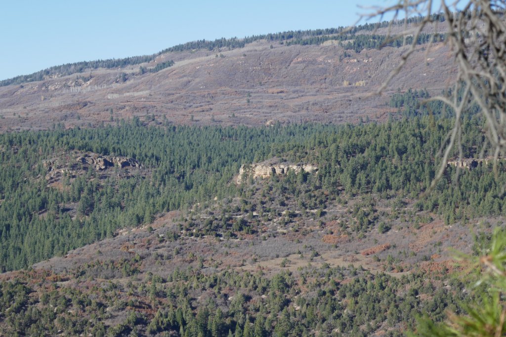
The views from that side were difficult to come by, and we had to walk through brush and around trees to get close to the edge. That gave us some views of Starvation Point, an rock outcropping, and the Tongue of Starvation, a convergence of two creeks at deep, narrow canyons. It was scenic, but not easy to see with a clear view through the trees.
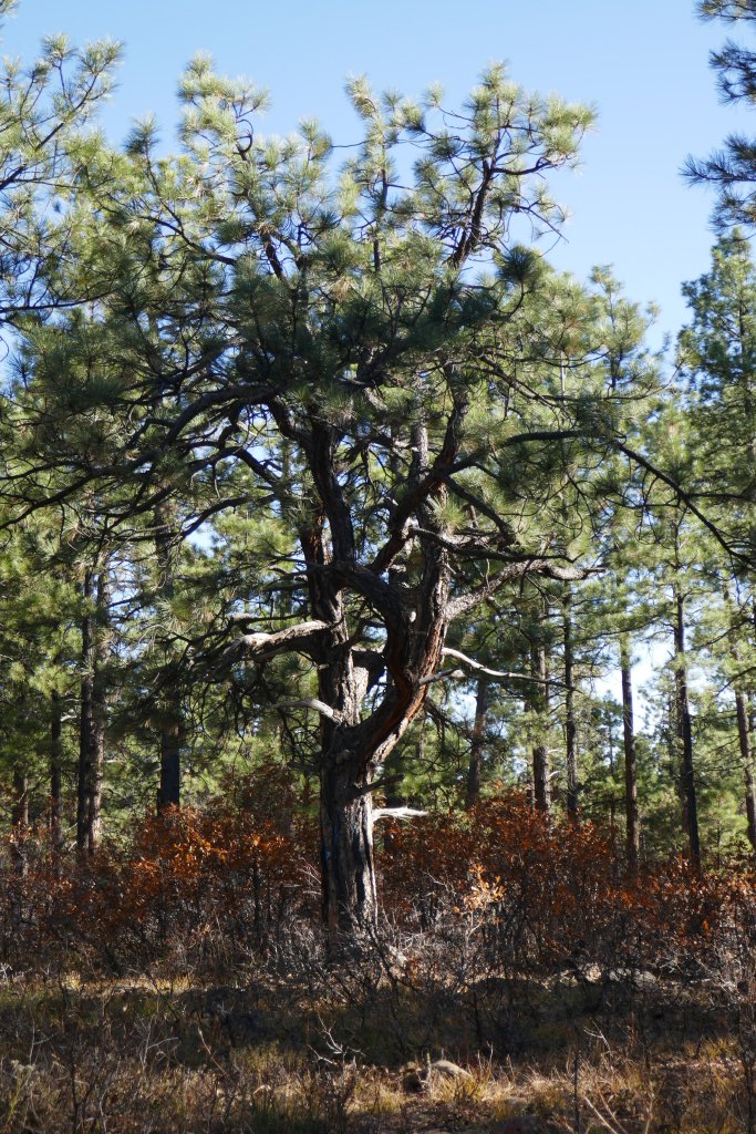
We enjoyed ourselves under the canopy of big trees for a bit. Ponderosa Pine trees smell like dessert toppings when they are yellow and not black, so we walked around smelling the yellow ones to decide what they smelled like. It was good for a laugh, and the healthy trees really smelled good. They put us in the mood for s'mores, though, so it was eventually time to go.
We wanted to check out the other side, and we were surprised to find that the trail got a bit more difficult. It was a bit eroded and not as well used. When we got to the end, there was a lot of parking and we were right on the edge of a cliff. These views were much better than the views on the other side, and though it was extremely windy and chilly we hung out pointing out landmarks and taking pictures. It was definitely worth the trip.
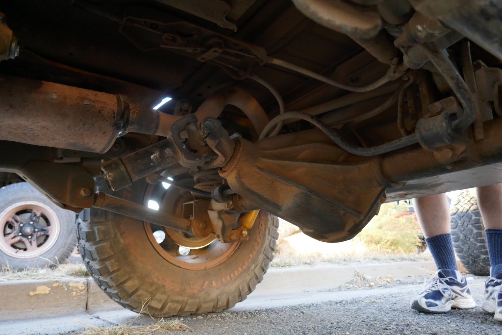
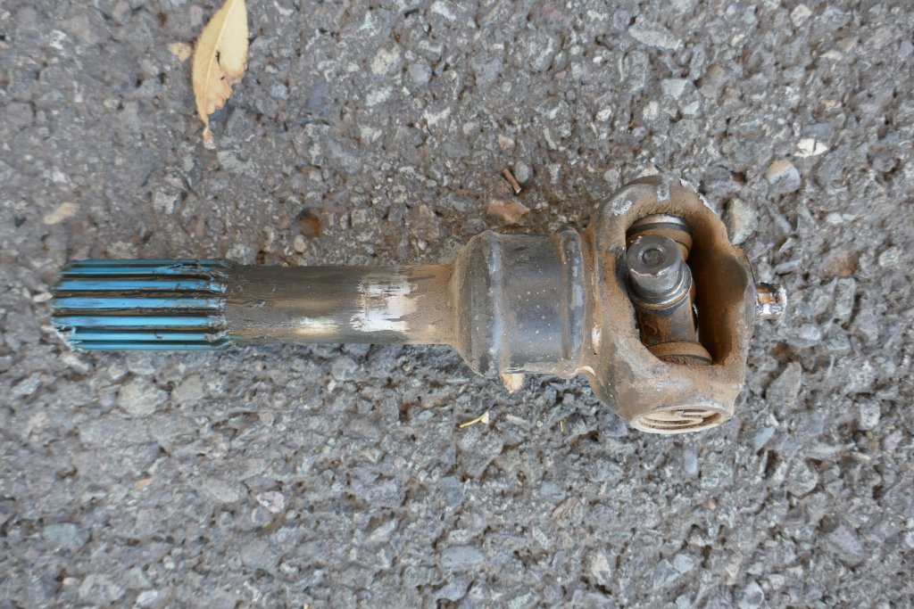
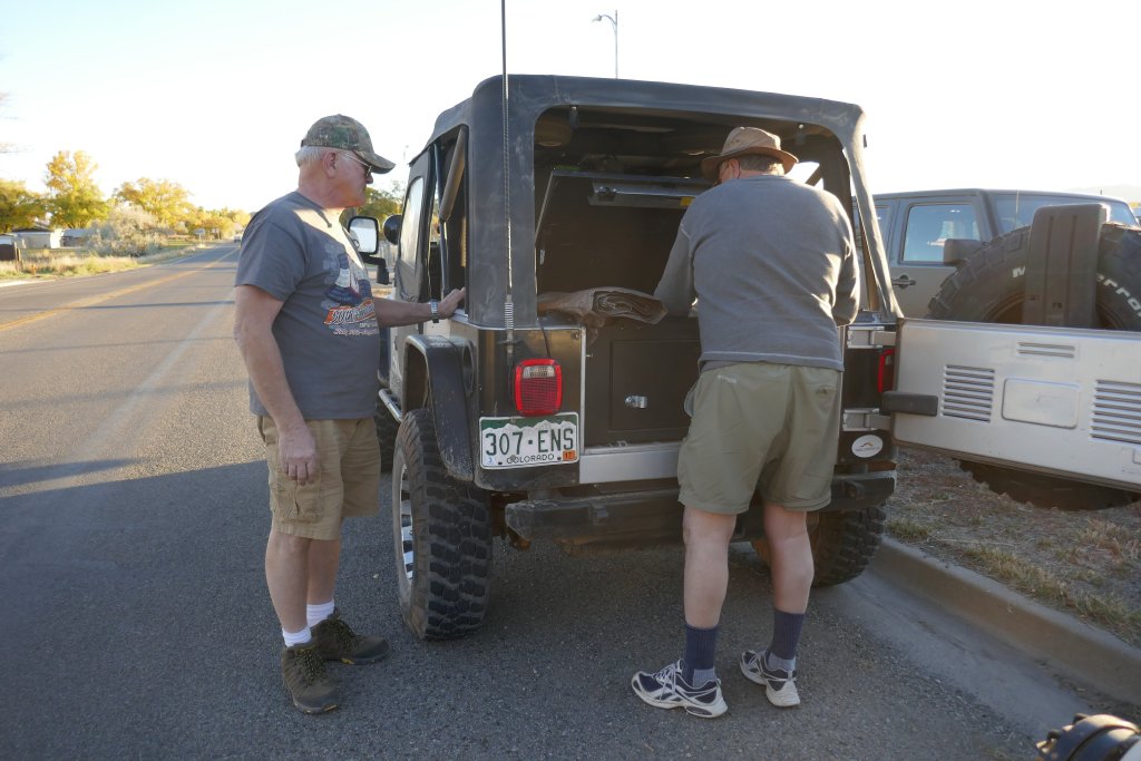
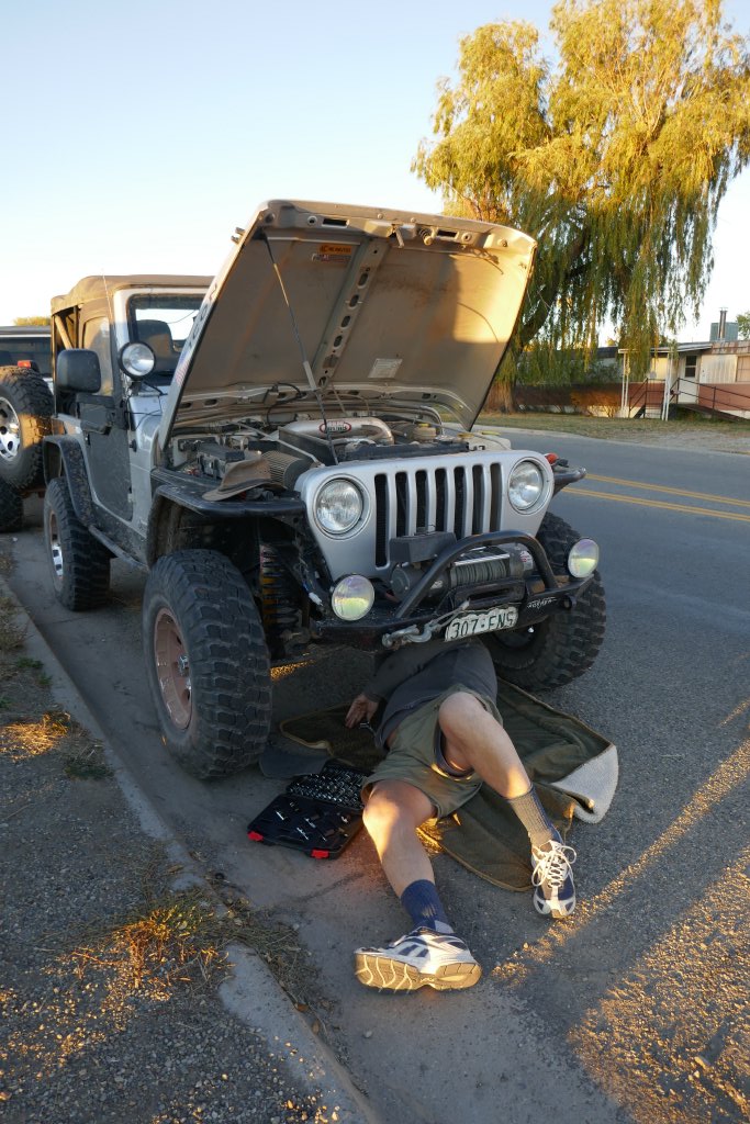
We went down the Rimrocker Trail to the town of Nucla, and turned a corner on the pavement. That's when Mike's rear drive shaft exploded and he quickly pulled to the side of the road. Very hot pieces of drive shaft were all over the place, and we picked them up while Mike took the rest of the drive shaft off of his Jeep. It looked like he was done for the rest of the trip and would be heading back to Denver with front-wheel drive. He even found a loose skid plate while checking things out under his Jeep.
We all headed back to Naturita and dinner at the hotel. The hotel only had two dishes on the menu that they could microwave for us, which sounded bad but ended up being pretty good. Then we went over to the RV park for some time at the campfire before heading to bed. It was a really great day, right up until the very last bit.