TrailDamage.com

Photos, videos and information about 4x4 trails in Colorado and Utah

  • Trails
    • Colorado
    • Utah
  • Reports
    • Featured Photos
    • Featured Videos
    • Reports Calendar
  • Members
  • Search
  • Trail Damage Winners
  • FAQ
  • Community
  • Upcoming Events
  • Membership
  • Log In
  • Facebook
  • Google+
  • RSS
  • Twitter
  • YouTube

Elephant Hill 080410

April 10, 2008 by Mike Shannon

Elephant Hill

Trail Run on April 10, 2008
Report and photos by Mike S., Trail Leader
View trail information for Elephant Hill

Roger R.
White 2005 Jeep Wrangler Unlimited Rubicon
Mike S.
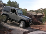
Silver 2004 Jeep Wrangler Rubicon
Walt S.
Gold 2004 Jeep Wrangler Rubicon

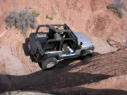
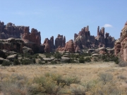
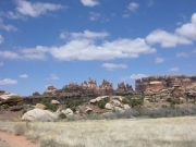
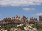
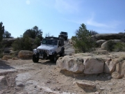
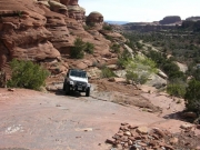
We headed back to the Needles area of Canyonlands National Park to run Elephant Hill one day after having run Lockhart Basin. The trip to the trailhead was suspenseful as we were not sure what the conditions would be. The day before had brought snow, sleet, and hail in the area. As we turned off Highway 191 onto 211, the pavement was still covered with snow from the storms the night before. The cliffs and bluffs were beautiful with the snow contrasting the red rocks. As we got closer to the park, however, our fears were soon relieved as all signs of snow disappeared.

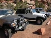
We were at the trailhead by 10:00AM and airing down in the bright sun. Mike decided to drop the top, even though the forecast was partly cloudy for the whole day. While we were preparing for the trail, a red Jeep Wrangler TJ headed up the trail. We would see that Jeep later on, but they were the only traffic we would see for the day. It was strange to run the trail in such good weather and to see no one else, not even any bikers or hikers.

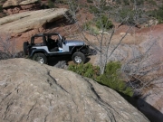
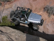
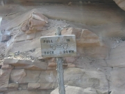
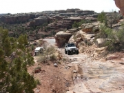
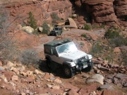
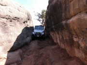
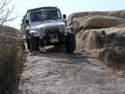
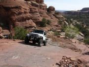
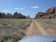
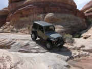
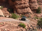
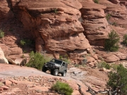
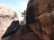
The trip down the north side of Elephant Hill was fun, with everyone backing down the switchback as suggested by the signs. It actually was easier than trying to turn at the end of each switchback, although this is possible. We were soon through the narrow section and after a quick stop at Devil's Kitchen we took the optional side trip down Devil's Lane to Chesler Park. The trail here is an easy two-wheel drive road where you can make good time. You do climb over a couple of hills but for the most part the trail is a level two-track through a valley.

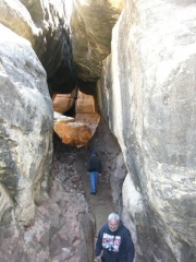
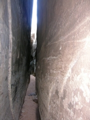
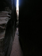
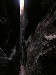
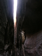
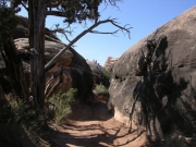
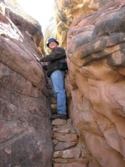
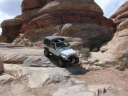
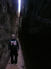
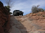
The side trail ends at Chesler Park and there's a great walking trail to the Joint. The Joint is a very narrow cleft in the rock and is well worth the short hike of about 0.6 miles. After exploring the Joint Trail and having our lunch at the parking and picnic area, we returned to the main trail. We were soon through the Silver Stairs and back at the trailhead.

We aired up and headed back to Moab. We thought briefly of stopping at the Needles Outpost, but after our adventure there last time when we "spun the pump" we decided to pass by it this time.

airing_down
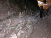
cairns_in_the_cave_part_1
cairns_in_the_cave_part_2
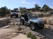
down_elephant_hill
into_the_cave
joint_trail_looking_up
joint_trail_part_1
joint_trail_part_2
joint_trail_part_3
joint_trail_part_4
mike_in_the_switchbacks_part_1
mike_in_the_switchbacks_part_2
mike_in_the_switchbacks_part_3
narrow_section
needles_part_1
needles_part_2
needles_part_3
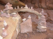
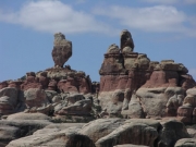
perched_cairn
pull_in_back_down
rock_formations
roger_and_walt_up_elephant_hill
roger_and_walt
roger_climbing_the_stairs
roger_down_the_silver_stairs
roger_in_the_narrow_section
roger_in_the_switchbacks
roger_on_the_trail
roger_up_elephant_hill_part_1
roger_up_elephant_hill_part_2
sign_going_down
trail_to_chesler_part
view_from_elephant_hill
walt_down_silver_stairs
walt_in_joint_trail
walt_in_the_narrow_section
walt_in_the_switchbacks_part_1
walt_in_the_switchbacks_part_2
walt_up_elephant_hill_part_1
walt_up_elephant_hill_part_2

Reports from Other Days: 3

Use the arrows or dots to flip through the previews of the other reports for Elephant Hill. Click one of them to read more and see all of the photos from that day.

May 17, 2012

Led by Matt K.
We had a long drive south of Moab to the Needles Area of Canyonlands National Park to run Elephant Hill. It was going to be a hot day with a lot of sun. We aired down at the Visitor Center and then drove to Elephant Hill. The parking lot was…
»
  • 1
  • 2
  • 3
Join Us!
If you aren’t a Member or Subscriber, you can’t see all of the content on this site. Get membership information to see why this site is best when you join and log in

Information for Subscribers

When you log in you’ll see more information here:

  • Recent Community Forum posts
  • Recent polls
  • Upcoming Events you can attend
  • Links to online users

© 2000-2019 · TrailDamage.com · Terms and Conditions · About · Contact
Trail information is only accurate on the date posted. Trails may have changed or closed since that date. Use this information for historical purposes only.
Contact the Forest Service or Bureau of Land Management for up-to-date trail information.
/* ----------------------------------------- */ /* View slug: reports-other-reports-for-same-trail-slider - start */ /* ----------------------------------------- */ /* place the prev/next controls on the sides */ .td-transition-controls .wpv-filter-next-link, .td-transition-controls .wpv-filter-previous-link { border: none; font-size: 300%; position: absolute; top: 70px; } .td-transition-controls .wpv-filter-previous-link { left: 0; } .td-transition-controls .wpv-filter-next-link { right: 0; } /* center the page selector horizonatally */ .td-transition-controls ul.wpv_pagination_dots { text-align: center; margin-top: 10px; } /* center the page selector horizonatally */ .td-transition-controls ul.wpv_pagination_dots li.wpv_pagination_dots_item, .td-transition-controls .wpv_pagination_dots li a { display: inline-block; float: none; } /* remove the default styles */ .td-transition-controls .wpv_pagination_dots li a { text-decoration: none; border-bottom: none; } .td-slider-container { padding: 0 25px; margin-bottom: 20px; position: relative; width:100%; display:table; } .td-slides { position: relative; } .td-slides-image { float:left; display:table-cell; } .td-slides-image img { border:1px solid #c0c0c0; } .td-slides-content { padding:4px 4px 4px 10px; border-top:1px solid #c0c0c0; border-right:1px solid #c0c0c0; border-bottom:1px solid #c0c0c0; display:table-cell; height:227px; overflow:hidden; } .td-slides-content h3 { margin-top:8px; } .td-slides-leader { font-size:smaller; margin-top:4px; } /* ----------------------------------------- */ /* View slug: reports-other-reports-for-same-trail-slider - end */ /* ----------------------------------------- */
/* ----------------------------------------- */ /* Content Template: Template for a Single Report - start */ /* ----------------------------------------- */ .entry-header { display:none; } .entry-content h1 { margin-top:16px; padding-top:0; } h1 a { color:#222; } h1 a:hover { color:#666; } p.entry-meta { font-size:small; } #report-body-spacer { clear:both; width:100%; height:20px; } #addtoany-bar { margin-bottom:2em; text-align:center; } .category-reports .post-info .author, .post-info .date { display: none; } .addthis_recommended_horizontal { text-align:center !important; } /* ----------------------------------------- */ /* Content Template: Template for a Single Report - end */ /* ----------------------------------------- */ /* ----------------------------------------- */ /* Content Template: Loop item in REPORTS Runners - start */ /* ----------------------------------------- */ #runners-container { width:100%; clear:both; } .runner { border:1px solid #c0c0c0; margin:0 6px 6px 0; float:left; width:49%; height:81px; } .runner-image { float: left; } .runner-image img { margin:2px 10px 0 2px; height:75px; width:75px; } .runner-name { text-transform:uppercase; } .runner-name a { color:#222; } .runner-name a:hover { color:#666; } .runner-vehicle { font-size:small; } @media only screen and (max-width: 768px) { .runner { width:100%; } } /* ----------------------------------------- */ /* Content Template: Loop item in REPORTS Runners - end */ /* ----------------------------------------- */