TrailDamage.com

Photos, videos and information about 4x4 trails in Colorado and Utah

  • Trails
    • Colorado
    • Utah
  • Reports
    • Featured Photos
    • Featured Videos
    • Reports Calendar
  • Members
  • Search
  • Trail Damage Winners
  • FAQ
  • Community
  • Upcoming Events
  • Membership
  • Log In
  • Facebook
  • Instagram
  • RSS
  • Twitter
  • YouTube

Diemer and Sellar Lakes 110917

September 17, 2011 by Monica

Diemer and Sellar Lakes

Trail Run on September 17, 2011
Report and photos by Monica I., Trail Leader
View trail information for Diemer and Sellar Lakes

Roger R.
Gray 2021 Jeep Wrangler Rubicon 4xe
Julie M.
Green 2012 Jeep Wrangler Unlimited Rubicon
Hoa Q.
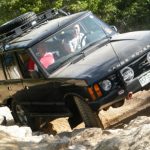
Black 1995 Land Rover Range Rover
Bill S.
Yellow 2020 Jeep Wrangler Rubicon
Mike S.
Silver 2004 Jeep Wrangler Rubicon
Monica I.
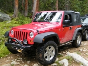
Red 2010 Jeep Wrangler Rubicon
Walt S.
Gray 2022 Jeep Wrangler Unlimited Rubicon 392

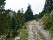
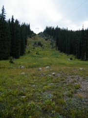
Instead of taking Frying Pan Road we had a plan to take the trail that followed the powerlines over to the town of Biglow. We hoped that it offered some fun and it did. After finishing Hagerman Pass (finally!) we turned onto the narrow and little-used trail to do the lakes trail backwards.

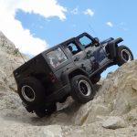
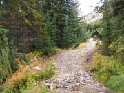
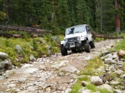
Though it would definitely be more fun to run it from the west to the east it was still a good time. It was a bit rocky and bumpy as we did the initial climb.

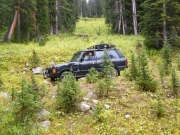
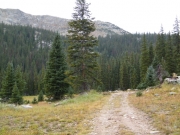
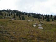
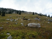
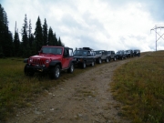
When we got to the big meadow we stopped to stretch our legs. Hoa was taking pictures when suddenly a man dressed all in camouflage appeared next to him. He came out of nowhere! He told us that the weather was pretty bad just a few minutes before we got there.

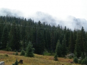
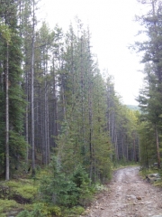
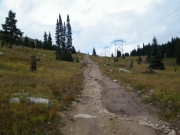
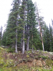
We soon kept going. We followed the powerlines and worked our way through tall and healthy trees. There were a few switchbacks but nothing was too challenging.

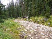
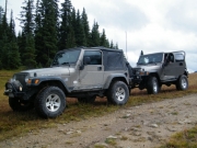
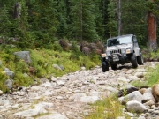
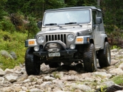
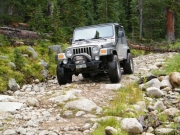
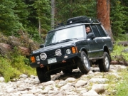
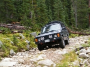
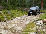
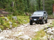
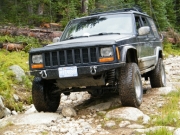
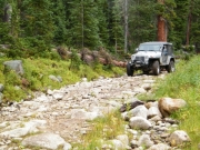
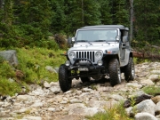
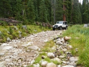
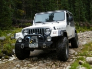
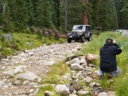
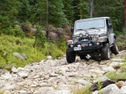
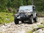
When we came to an area covered in river rocks we got out to take pictures. The lighting was just right and everyone's vehicles looked really good.

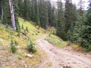
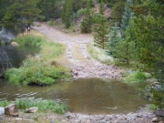
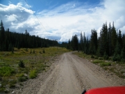
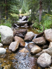
There were a few shallow creek crossings as we followed the trail. Then the trail suddenly ended at a wide and well-maintained dirt road. We definitely weren't expecting it. We followed the easy road for just a short distance and then our trail veered off of the dirt road again. We could see that the dirt road ended near there at some sort of station.

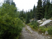
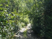
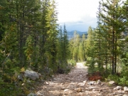
The trail after that section was pretty overgrown. There was almost always water running along the trail. We got out at one point just to enjoy how damp it was, like we were on the east coast somewhere. It was very lush and green and we were surrounded by trees. It was pretty cool.

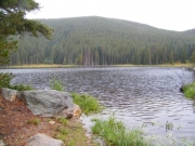
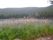
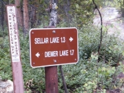
We skipped the trip to Sellar Lake in order to save time, but we did the loop to Diemer Lake. We didn't stop at the lake, though. The water crossing at the lake wasn't deep so no one had an issue.

Once we passed the lake the trail was easy. It was a quick trip to the trailhead and we were soon out on Frying Pan Road. That was a good trail and we'll definitely do it again.

bigger_bumps
bill_and_walt
bill_in_the_rocks_part_1
bill_in_the_rocks_part_2
bill_in_the_rocks_part_3
bumpy_descent
bumpy
cottonball_clouds
diemer_lake_crossing
diemer_lake_part_1
diemer_lake_part_2
eastern_end
easy_stretch
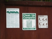
forest_service_sign
healthy_forest
hoa_in_the_rocks_part_1
hoa_in_the_rocks_part_2
hoa_on_the_trail
into_the_trees
julie_in_the_rocks_part_1
julie_in_the_rocks_part_2
julie_in_the_rocks_part_3
lake_signs
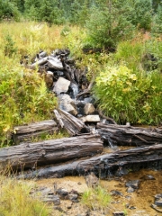
little_stream
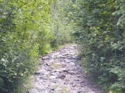
little-used_trail
meadow_part_1
meadow_part_2
meadow_part_3
mike_in_the_rocks_part_1
mike_in_the_rocks_part_2
mike_in_the_rocks_part_3
monica_in_the_rocks
narrow_climb
overgrown
parked_at_the_meadow
powerline_swatch
river_rocks
rocky
roger_in_the_rocks_part_1
roger_in_the_rocks_part_2
roger_in_the_rocks_part_3
sign_near_the_west_end
switchback
tall_trees
walt_and_the_paparazzi
walt_in_the_rocks_part_1
walt_in_the_rocks_part_2
walt_in_the_rocks_part_3
water_on_the_trail
Join Us!
If you aren’t a Member or Subscriber, you can’t see all of the content on this site. Get membership information to see why this site is best when you join and log in

Information for Subscribers

When you log in you’ll see more information here:

  • Recent Community Forum posts
  • Recent polls
  • Upcoming Events you can attend
  • Links to online users

© 2000-2022 · TrailDamage.com · Terms and Conditions · About · Contact
Trail information is only accurate on the date posted. Trails may have changed or closed since that date. Use this information for historical purposes only.
Contact the Forest Service or Bureau of Land Management for up-to-date trail information.
/* ----------------------------------------- */ /* View slug: reports-other-reports-for-same-trail-slider - start */ /* ----------------------------------------- */ /* place the prev/next controls on the sides */ .td-transition-controls .wpv-filter-next-link, .td-transition-controls .wpv-filter-previous-link { border: none; font-size: 300%; position: absolute; top: 70px; } .td-transition-controls .wpv-filter-previous-link { left: 0; } .td-transition-controls .wpv-filter-next-link { right: 0; } /* center the page selector horizonatally */ .td-transition-controls ul.wpv_pagination_dots { text-align: center; margin-top: 10px; } /* center the page selector horizonatally */ .td-transition-controls ul.wpv_pagination_dots li.wpv_pagination_dots_item, .td-transition-controls .wpv_pagination_dots li a { display: inline-block; float: none; } /* remove the default styles */ .td-transition-controls .wpv_pagination_dots li a { text-decoration: none; border-bottom: none; } .td-slider-container { padding: 0 25px; margin-bottom: 20px; position: relative; width:100%; display:table; } .td-slides { position: relative; } .td-slides-image { float:left; display:table-cell; } .td-slides-image img { border:1px solid #c0c0c0; } .td-slides-content { padding:4px 4px 4px 10px; border-top:1px solid #c0c0c0; border-right:1px solid #c0c0c0; border-bottom:1px solid #c0c0c0; display:table-cell; height:227px; overflow:hidden; } .td-slides-content h3 { margin-top:8px; } .td-slides-leader { font-size:smaller; margin-top:4px; } /* ----------------------------------------- */ /* View slug: reports-other-reports-for-same-trail-slider - end */ /* ----------------------------------------- */
/* ----------------------------------------- */ /* Content Template: Template for a Single Report - start */ /* ----------------------------------------- */ .entry-header { display:none; } .entry-content h1 { margin-top:16px; padding-top:0; } h1 a { color:#222; } h1 a:hover { color:#666; } p.entry-meta { font-size:small; } #report-body-spacer { clear:both; width:100%; height:20px; } #addtoany-bar { margin-bottom:2em; text-align:center; } .category-reports .post-info .author, .post-info .date { display: none; } .addthis_recommended_horizontal { text-align:center !important; } /* ----------------------------------------- */ /* Content Template: Template for a Single Report - end */ /* ----------------------------------------- */ /* ----------------------------------------- */ /* Content Template: Loop item in REPORTS Runners - start */ /* ----------------------------------------- */ #runners-container { width:100%; clear:both; } .runner { border:1px solid #c0c0c0; margin:0 6px 6px 0; float:left; width:49%; height:81px; } .runner-image { float: left; } .runner-image img { margin:2px 10px 0 2px; height:75px; width:75px; } .runner-name { text-transform:uppercase; } .runner-name a { color:#222; } .runner-name a:hover { color:#666; } .runner-vehicle { font-size:small; } @media only screen and (max-width: 768px) { .runner { width:100%; } } /* ----------------------------------------- */ /* Content Template: Loop item in REPORTS Runners - end */ /* ----------------------------------------- */