Death Ridge
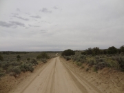
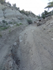
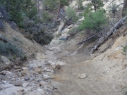
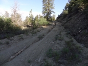
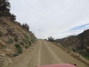
Death Ridge is a strange trail. It's graded and easy for most of it, but then there is a section that isn't maintained, rough, and loose in the middle. We're still not sure we were entirely safe the whole time, but we're glad we did it. It definitely took us longer than we thought, though.
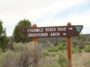
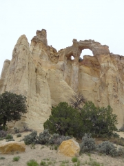
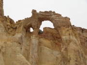
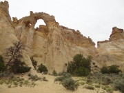
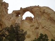
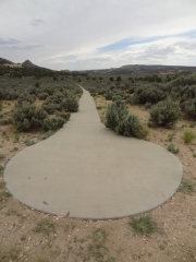
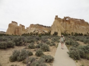
We had done Smoky Mountain Road and most of Cottonwood Canyon Road 400 already. We found ourselves at Grosvenor Arch at around 4:00 PM, and we took the time to check it out. It was a nice area with parking, a pit toilet, and a sidewalk right up to the arch. It's definitely a scenic area.
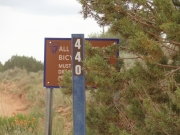
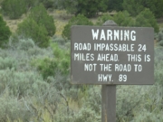
Just past that we found our first sign warning us that the road was impassable in 24 miles. We'd come that far so we decided to do the miles to go see what the end looked like. Was that a good decision? Maybe.
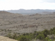
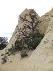
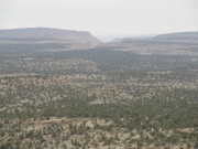
We expected something exciting from The Gut because it had a name, but it ended up being a short and uneventful pass through the Cockscomb. It provided some great views of the desert around us, though.
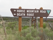
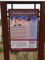
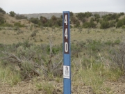
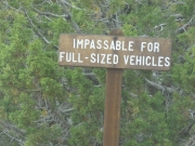
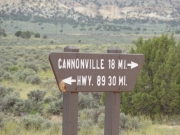
We pressed on, following tracks of at least one vehicle. We came to an intersection with nice signs pointing the way. We had been on Fourmile Bench Road and we were headed for Horse Mountain Road and Death Ridge. We pressed on, and we found the next sign alerting us that the road was impassable for full-sized vehicles.
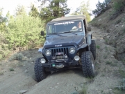
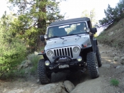
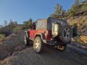
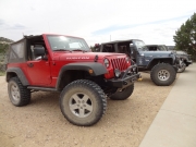
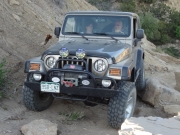
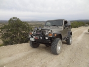
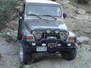
What is a "full-sized vehicle," exactly? Were our Jeep Wranglers full sized? We assumed the sign meant bigger 4x4s would have issues, so we continued. We hoped that we'd have room to turn around if things got dicey.
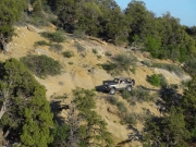
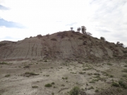
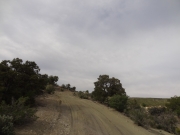
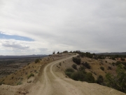
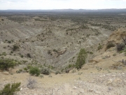
We found ourselves on a ridge, which was interesting. The trail ran right along the top of a ridge and it was probably only 25 feet wide. Cool! It was totally safe, and we wondered if this was the "impassable" section. We hadn't gone enough miles, so probably not. The views were nice, though.
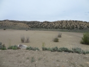
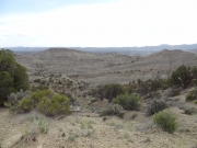
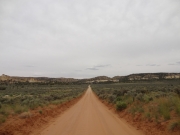
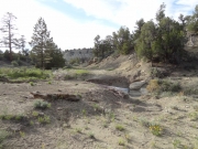
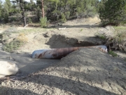
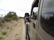
We crossed more desert and noticed the dirt was gray and very soft. Then we got to a section where the trail split and Monica got out to explore. The trail had once continued straight and over a drainage pipe, but that trail was long gone. Now, the trail went around it and over a ditch to get to the other side. The mileage was right so this might be our impassable section. Not so impassable! Or maybe it was still coming?
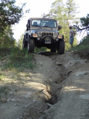
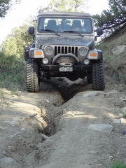
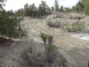
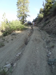
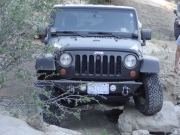
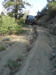
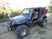
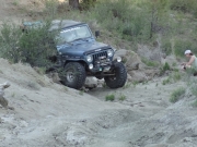
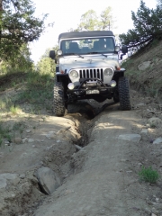
Over the next hill there was a large crack made by years of erosion. Monica was screwing around and got stuck, burying her axles in the soft dirt. It was so soft that she couldn't get herself out, so Matt had to break out his winch to pull her back. After that, no one else messed around, taking care to stay out of the ditches. Was that the impassable section?
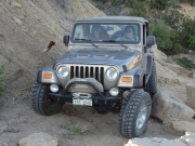
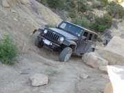
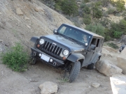
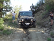
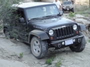
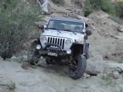
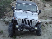
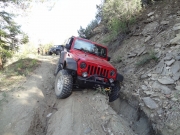
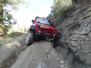
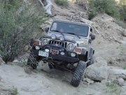
Next, we found a fun bit of rocks at the bottom of a small wash with the trail on the other end that climbed over and around still more erosion ditches. We all had fun on the rocks, twisting and turning through our own lines.
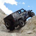
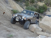
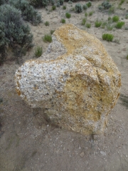
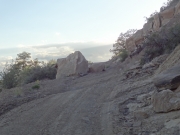
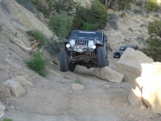
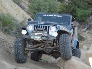
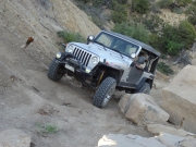
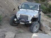
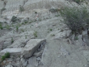
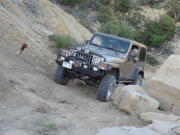
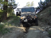
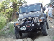
We were climbing a loose hill with a shelf on one side when we found a large rock blocking a good percentage of the trail. Some of us went over part of it while others went high on the hill to get around it. It's always nice to find a rock in the way. But was it impassable? Not so much.
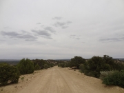
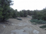
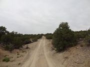
We found a narrow section that we easily made safe with a shovel and a few minutes in the soft dirt, as well as a bumpy section along a wash. Then the trail turned into a maintained and graded one again and we were out of the impassable section. It's not so impassable after all, though it would be better on a dirt bike or ATV.
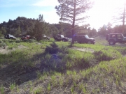
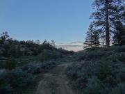
We knew we had miles left to go, and we were thrilled to pop out onto a big, main road all of a sudden. We put windows and tops back on Jeeps just before the sun went down and it got chilly. The ride back to town was dark and dusty, but it was all worth it. There was no death on the ridge, and it was a great day.


