Clover Creek
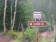
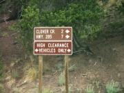
After running Alder Creek and Kerber Creek, we were planning on taking the Clover Creek trail back over the mountains to reach Highway 285. Finding the trailhead at its intersection with the Toll Road Gulch trail was easy.
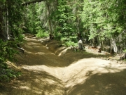
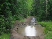
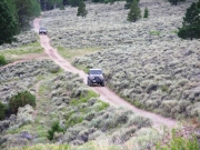
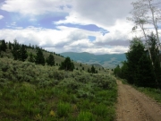
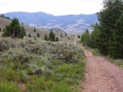
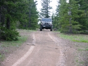
The trail started with a climb immediately as we left the Toll Road Gulch trail just above the Superior Mine site. The climb wasn't too steep, and although the trail was narrow there were plenty of places to pull over if we met traffic. Part of the climb is off-camber due to some erosion on the trail. It wasn't enough to be dangerous but it did make it interesting as the tilt exceeded 25 degrees in spots. As we continued to climb, we passed by the foundations and a few of the remaining towers of the ore tramway. It must have been something to see in its glory days!
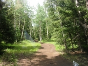
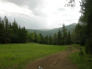
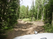
We made it to the summit easily and it started to rain just a little but not enough to require putting in windows. It did cool the air down. The downhill stretch was uneventful, and as the trail was quite smooth we made good time. Upon coming out into the open we saw the highway ahead. We weren't done exploring yet, however, and we headed on a side trail to the left. This turned out to be the Poncha Loop trail, and we would run this before coming back to finish the last leg of Clover Creek.


