
TrailDamage.com

Photos, videos and information about 4x4 trails in Colorado and Utah

  • Trails
    • Colorado
    • Utah
  • Reports
    • Featured Photos
    • Reports Calendar
  • Members
  • Search
  • FAQ
  • Community
  • Upcoming Events
  • Membership
  • Log In
  • Facebook
  • Instagram
  • RSS
  • Twitter
  • YouTube
  • Trails
    • Colorado
    • Utah
  • Reports
    • Featured Photos
    • Reports Calendar
  • Members
  • Search
  • FAQ
  • Community
  • Upcoming Events
  • Membership
  • Log In

Bill Moore Lake 101106

November 6, 2010 by Matt Kuczborski

Bill Moore Lake

Trail Run on November 6, 2010
Report and photos by Matt K., Trail Leader
View trail information for Bill Moore Lake

Matt K.
White 2016 Jeep Wrangler Unlimited Rubicon
Mark F.
Blue 2002 Jeep Wrangler
Walt S.
Gray 2022 Jeep Wrangler Unlimited Rubicon 392
Gary R.
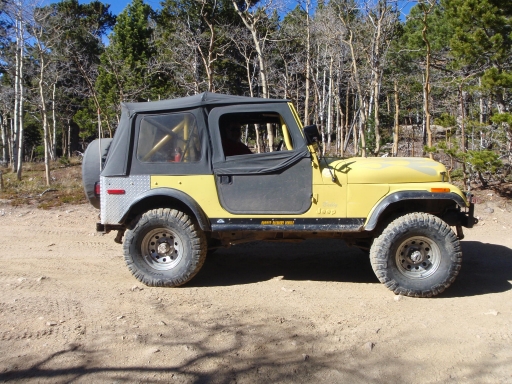
Yellow 1978 Jeep CJ-7

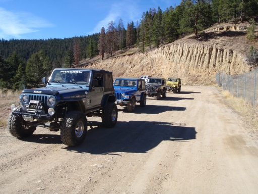
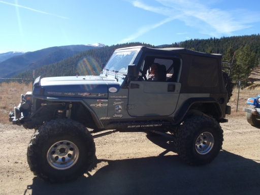
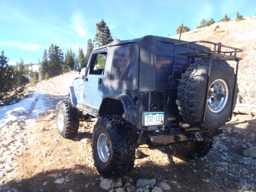
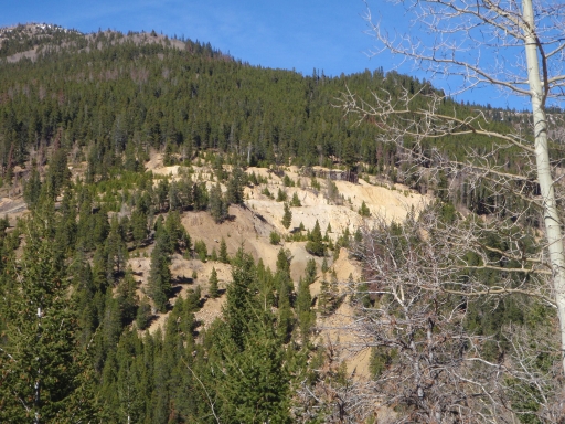
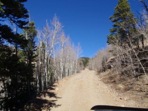
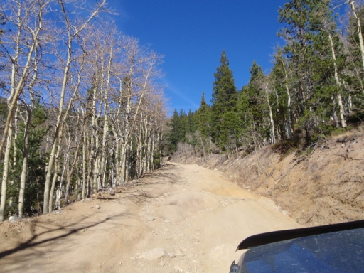
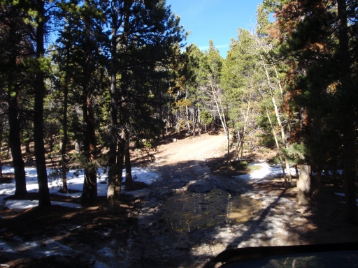
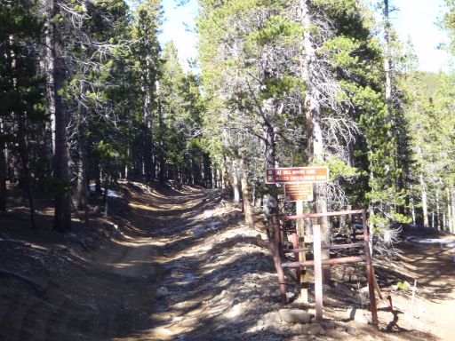
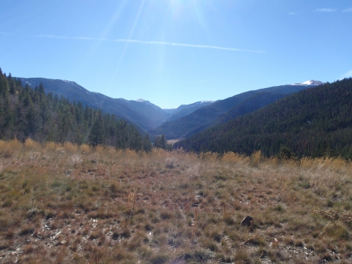
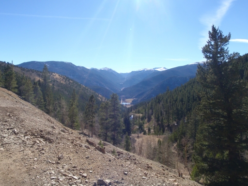
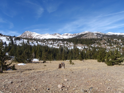
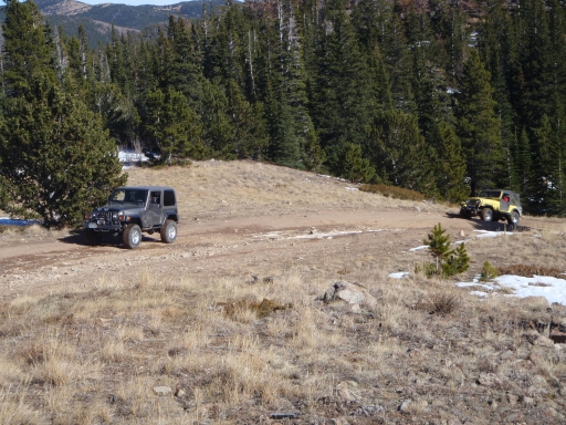
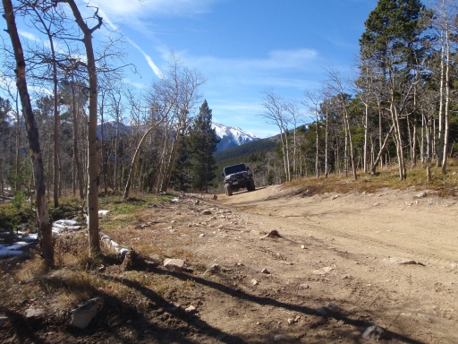
Bill Moore Lake was our last trail for the day as well as the 2010 calendar year. So we started up the woopdeedoo hill and up the mountain. The rocky hill had two optional routes. One was like a road and the other was very loose and steep. Matt and Mark went the long way up the road and Gary and Walt went up the loose and steep route.

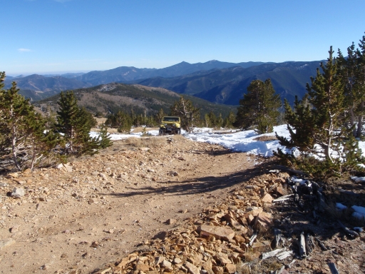
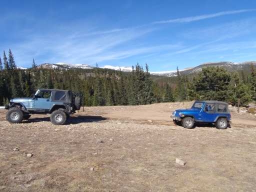
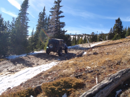
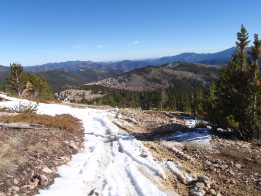
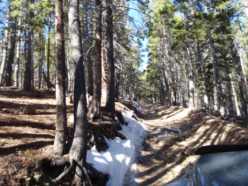
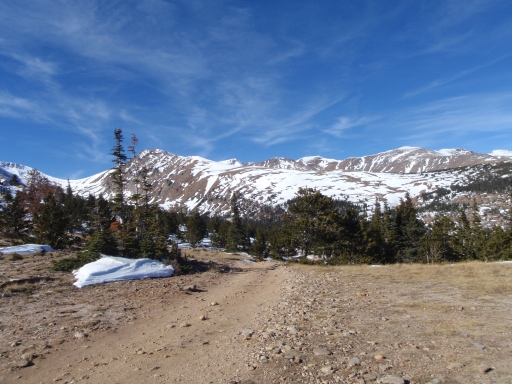
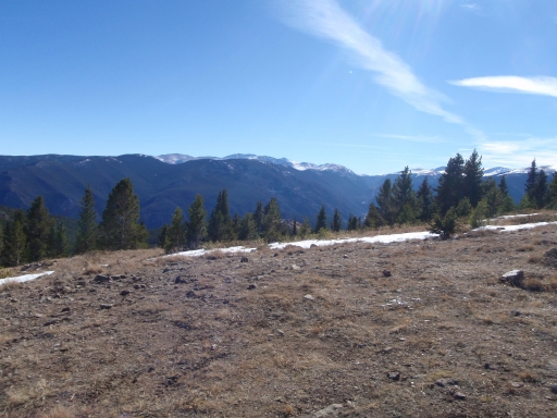
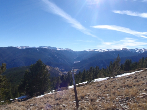
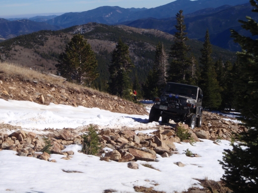
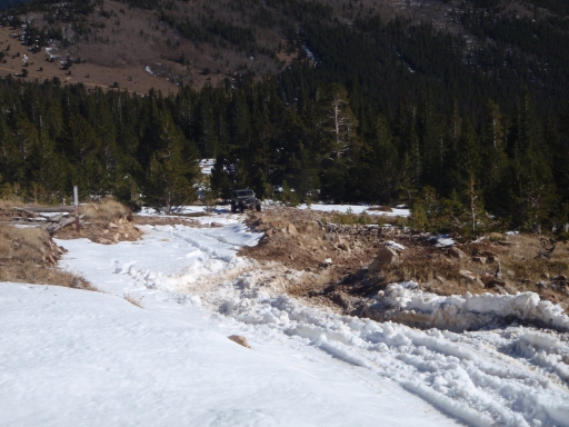
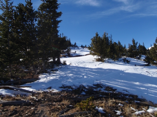
As we got higher in elevation to more exposed areas, we noticed that the trail started to be covered with more snow. We noticed more snow when we were about halfway up the trail. Mark stopped just before the next hill climb because the trail looked like it was full of snow. With the steep incline and the snow he felt like it would be too much for his stock Jeep. He called it a day and turned around at that point, heading for home.

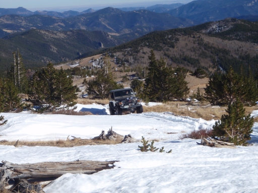
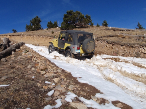
An ATV was making its way down the hill. The driver stopped and talked to us for a few minutes. He said that we would not make it too far past the hill. Matt, Gary and Walt went up the steep hill to see how far they could go. It took some time to get everyone up the steep hill. We were having fun trying to make our way up.

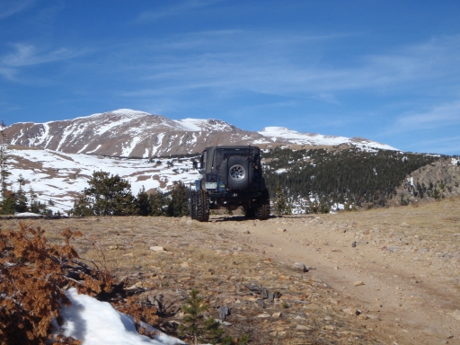
We kept going until the snow was getting too deep to drive through. We knew that there was a steep downhill part ahead of us not too far off, and we did not think that we would make it down and then back up that steep hill on the way back. So we all thought that it would be a good idea to turn around and go back instead of trying the hill and spending the rest of the day winching in the snow.

So we returned back to the area were Mark had stopped. We thought about trying Mill Creek but decided that we had all the fun we could take for one day. On the way back, Matt went down the loose steep route and the rest went down the easier road. We aired back up when we got to the trailhead. We all had fun day playing in the ice and snow.
deep_snow
gary_in_snow_part_1
gary_on_the_trail_part_1
gary_on_the_trail_part_2
gray_in_snow_part_2
jeeps_at_start_of_the_trail
jeeps_on_the_trail
matt_and_mark
matt_in_snow
matt_on_the_trail_part_1
matt_on_the_trail_part_2
matt_on_the_trail_part_3
matt_on_the_trail_part_4
mine_part_1
mine_part_2
mine_part_3
snow_on_the_trail_part_1
snow_on_the_trail_part_2
start_of_the_trail
trail_part_1
trail_part_2
trail_part_3
trail_part_4
trail_part_5
view_part_1
view_part_2
view_part_3
view_part_4
view_part_5
walt_and_gary
walt_in_snow_part_1
walt_in_snow_part_2
walt_on_the_trail_part_1
walt_on_the_trail_part_2

Reports from Other Days: 10

Use the arrows or dots to flip through the previews of the other reports for Bill Moore Lake. Click one of them to read more and see all of the photos from that day.
October 1, 2023

Led by Matt K.
We all met up at the Coffee Shop parking lot near Empire. Tim showed up in his old CJ Jeep,…
»
  • 1
  • 2
  • 3
  • 4
  • 5
  • 6
  • 7
  • 8
  • 9
  • 10
Join Us!
If you aren’t a Member or Subscriber, you can’t see all of the content on this site. Get membership information to see why this site is best when you join and log in

Information for Subscribers

When you log in you’ll see more information here:

  • Recent Community Forum posts
  • Recent polls
  • Upcoming Events you can attend
  • Links to online users

© 2000-2026 · TrailDamage.com · Terms and Conditions · About · Contact
Trail information is only accurate on the date posted. Trails may have changed or closed since that date. Use this information for historical purposes only.
Contact the Forest Service or Bureau of Land Management for up-to-date trail information.