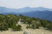
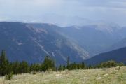
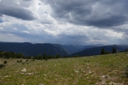
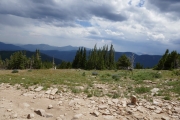
Bill Moore Lake
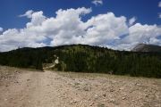
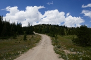
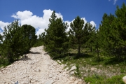
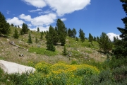
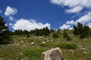
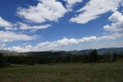
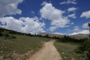
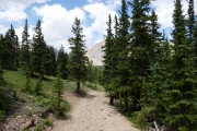
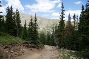
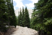
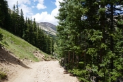
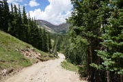
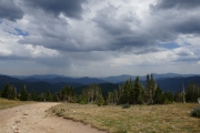
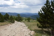
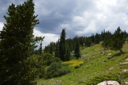
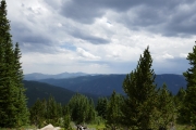
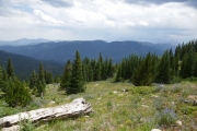
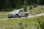
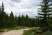
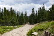
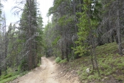
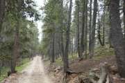
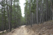
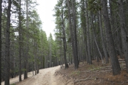
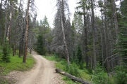
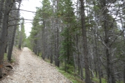
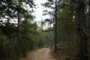
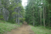
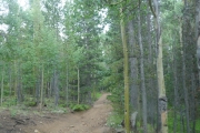
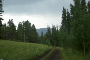
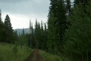
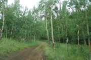
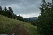
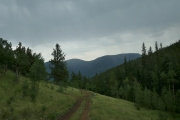
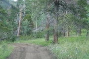
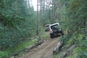
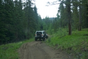
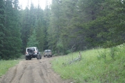
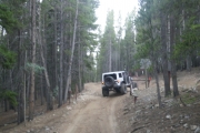
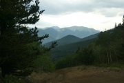
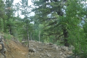
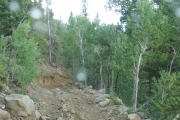
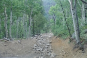
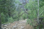
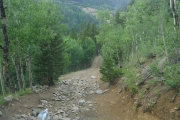
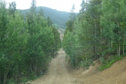
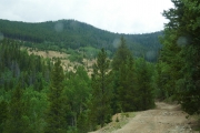
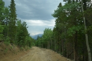
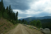
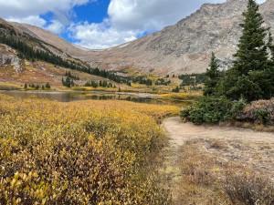
After a great time on the rocks on Red Elephant Hill and Mill Creek, we ran up the top part of Bill Moore Lake to meet Sean at the end. We were actually ahead of schedule, with only two of us running the morning's trails. The sun was shining and there were flowers everywhere.
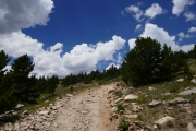
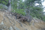
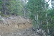
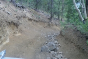
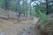
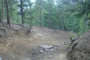
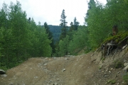
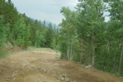
We laughed about that video on the curve where Red Elephant Hill meets Bill Moore Lake, from the first official TrailDamage.com run. Things have changed, and we couldn't imagine actually getting out to get video at that spot. The curve was much more eroded than it was back then, but it was still an easy section.
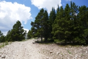
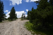
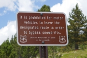
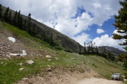
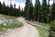
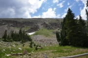
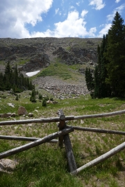
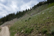
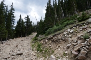
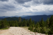
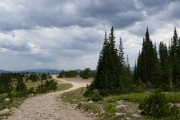
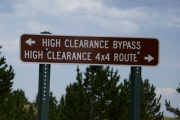
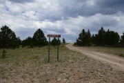
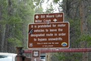
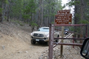
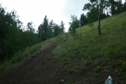
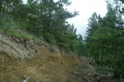
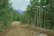
There was a new sign marking a bypass around the loose, braided hill where the snow stays for the longest. We didn't see any snow, and the sign didn't make much sense. It pointed us to the High Clearance 4x4 Route, and the other way was the High Clearance Bypass. Was the bypass also for high-clearance vehicles, or was it bypassing the need for high clearance? We'd take the bypass on the way back so we could find out. On the way up, we took the usual hill and had our usual good time on it.
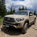
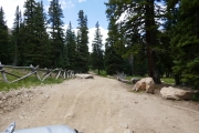
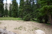
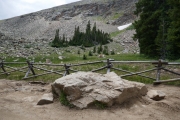
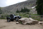
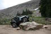
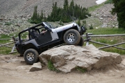
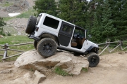
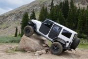
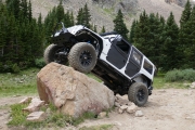
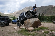
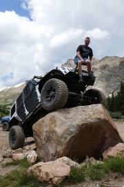
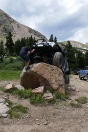
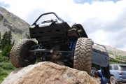
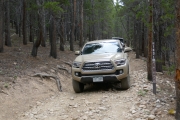
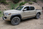
We were cruising along the hill when we met Sean coming in the other direction in his truck. We were glad we didn't miss him. He backed up just a little bit to get to the place where the mud pit used to be, and we all got out to say our hellos and remember how things used to be. That section of the trail is nothing like it was, though the big slab of rock in the middle that used to be just a chunky section is still there for us to play on, much bigger than it used to be. It had been a long, long time since Sean had been on the trail with us, and it was really nice to see him again.
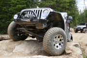
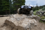
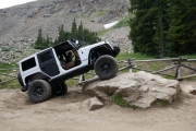
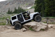
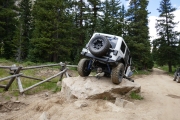
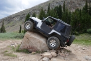
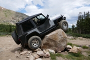
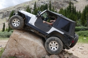
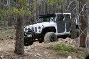
Mike got on it and tried a few angles, but it was just too steep and sharp on the side for him to get over it. Still, it was a fun try. Matt got on it next, and even he barely cleared it in spots. It's a big rock, but Matt got up on top of it. It's a bit of a silly obstacle because you can just drive around it, but it's still a blast.
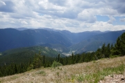
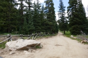
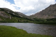
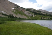
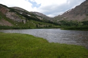
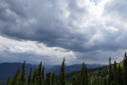
Sean turned around and we all headed over to the lake. That's where the people were. We hadn't seen many people at all, but the parking area had quite a few cars and someone camping in a tent right next to the walking path to the lake. We parked and walked out to the lake, but the rain was starting and it was getting pretty chilly. We only spent a few minutes near the water before turning around to head back to the Jeeps.
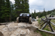
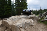
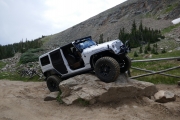
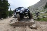
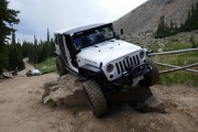
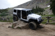
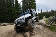
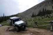
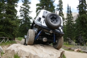
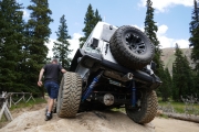
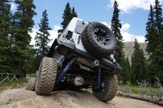
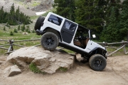
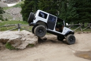
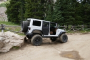
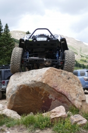
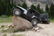
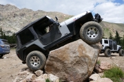
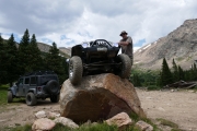
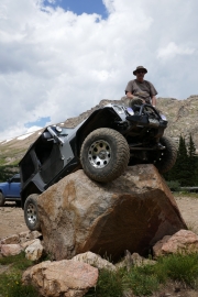
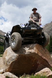
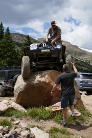
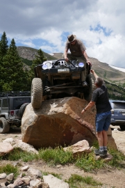
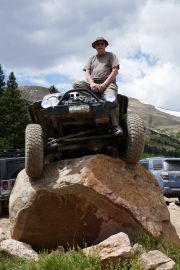
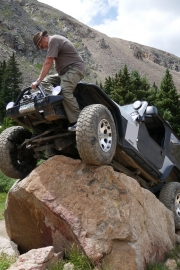
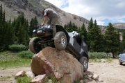
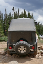
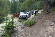
Mike put his Jeep top and windows in, and then it rained the rest of the day. Matt hadn't been on the Poser Rock, so he worked his way through cars parked at the base of it to get up on it. There were lots of rocks stacked at the bottom, so anyone could have gotten on it. His passenger tire was on a point near the top, and he climbed way up to get up on his bumper. It's always such an awesome picture.
Mike wasn't going to get on the rock because he'd been on it before, but he changed his mind and drove up on it before we left. He stopped before driving off the other side, thankfully, and he also climbed up to his bumper.
Sean wasn't up for smacking his truck bumper on a rock, so he skipped Poser Rock. We started heading back down. When we got to the bypass, we took that and found a loop that went down the hill and back up. It didn't have any obstacles, but it wasn't much easier than the other hill we were bypassing. The regular hill was much better.
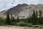
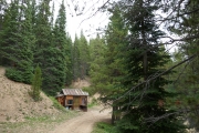
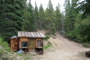
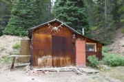
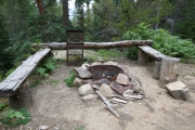
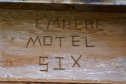
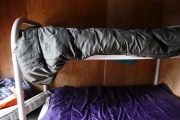
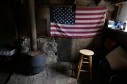
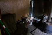
When we got to the shortcut that goes back to Red Elephant Hill, we took it so we could see if any of the other spurs were open. They weren't, so we turned around at the intersection and headed back down. We turned to go to the Empire Motel 6, and found that cabin in much better shape than the Empire Hilton. It was clean and very nice, and we could see sleeping there in a pinch. It even had a really nice fire pit for when the fire ban is lifted.
We even took the Miller Creek spur that we'd never taken before (at least not that we could remember), to find a slightly tippy trip through the trees to a weird ending. Everything was slanted, and we all found our own place to turn around. It probably wasn't worth doing that spur again.
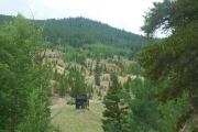
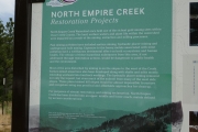
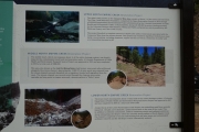
We cruised down the trail, and Sean took the big switchback while Mike and Matt went down the Chute. It seemed like it didn't have as many big rocks in it, but it was still a nice descent. We reconnected at the intersection of the two options and headed down to the trailhead. There was a kiosk there that had been put up since we were there last with information about restoration efforts. It would have been nice to see a kiosk with more historical information about mining in the area but we were happy to see something there.
We usually air up there, but we headed over to Mad Creek instead to get a new trail under our belts. It was sprinkling, but the sky looked like it was about to get serious about the rain.
Reports from Other Days: 10
Use the arrows or dots to flip through the previews of the other reports for Bill Moore Lake. Click one of them to read more and see all of the photos from that day.
