TrailDamage.com

Photos, videos and information about 4x4 trails in Colorado and Utah

  • Trails
    • Colorado
    • Utah
  • Reports
    • Featured Photos
    • Featured Videos
    • Reports Calendar
  • Members
  • Search
  • Trail Damage Winners
  • FAQ
  • Community
  • Upcoming Events
  • Membership
  • Log In
  • Facebook
  • Instagram
  • RSS
  • Twitter
  • YouTube

The Bank 080621

June 21, 2008 by Monica

The Bank

Trail Run on June 21, 2008
Report and photos by Monica I., Trail Leader
View trail information for The Bank

Walt S.
Gray 2022 Jeep Wrangler Unlimited Rubicon 392
Don W.
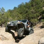
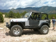
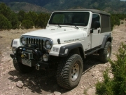
Silver 2005 Jeep Wrangler Rubicon
Brian D.
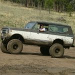
Brown 1978 International Scout II
Mike S.
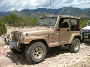
Silver 2004 Jeep Wrangler Rubicon
Mark U.
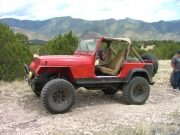
Red 1989 Jeep Wrangler
Roger R.
Gray 2021 Jeep Wrangler Rubicon 4xe

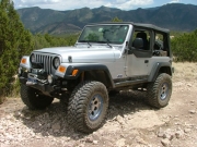
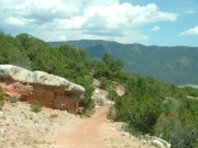
The Bank was a completely new trail for us, and one we really didn't know anything about before we got there. We saw a network of trails on the topo map, so it sounded like a fun time to go out and explore them. We got lucky, and they were still available for offroad adventures.

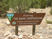
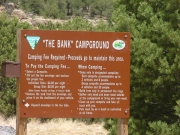
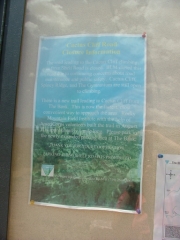
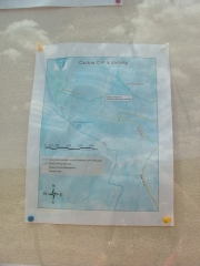
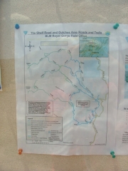
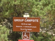
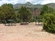
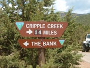
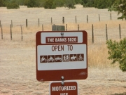
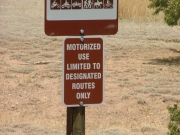
We followed the BLM signs past a large parking area, and soon we were going by the Bank Campground. It was pretty big, and very nice. There were also some good signs nearby, so we got out to study the maps. We had mapped out a lot of the trails in the area, but it looked like most of them were not available to 4x4 vehicles. We had hoped to make it out to Oblong Baldy -- a geographic feature with a cool name -- but the trails out to it were no longer available. Still, it looked like we could do a pretty good-sized loop.

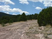
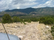
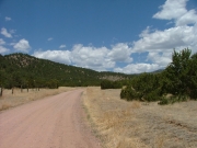
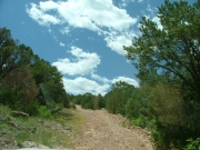
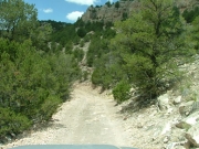
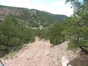
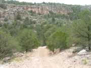
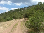
Right after the campground it got very bumpy. We hoped that it wouldn't stay that way, and luckily it didn't last too long. Soon enough, the trail turned to smooth dirt.

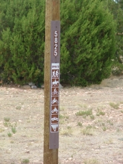
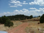
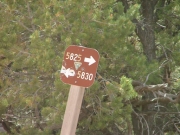
We climbed to the top and out of the canyon, and found ourselves at a crossroads. We decided to go up and follow road 5830, but it soon came to a dead end. It was pretty bumpy and didn't offer any new scenery or challenges, so we probably won't follow that spur again.

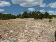
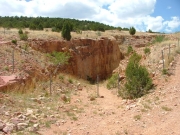
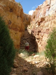
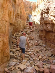
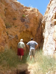
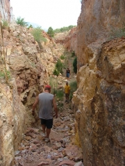
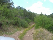
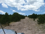
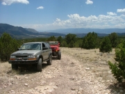
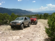
The trail weaved its way through the brush and trees, and we saw on our GPS units that we were passing many mines. We didn't get out to do any exploring, though. We did see a strange sight that had to be explored, though. A huge crack had a fence all the way around it, with a person-sized opening at the base. We parked and walked into the crack, which immediately ended. It wasn't too exciting, but it was a good chance to stretch our legs and visit.

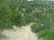
Soon the trail started heading downhill and we could see many very nice homes. We could also see that some of the "trails" we were hoping to explore were now roads to houses.

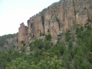
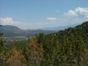
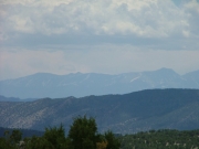
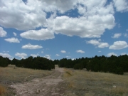
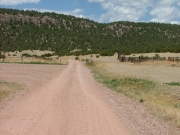
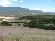
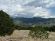
When we got to the bottom, the trail continued all the way around to nearly meet with the trailhead in one giant loop. It ended up being a pretty cool trail with some great scenery, even though it wasn't nearly as extensive as we had originally hoped. It's always fun trying something new!

blue_sky
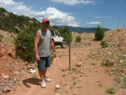
brian_on_the_trail
bumpy_after_the_campground
bumpy_trail
campground_sign_1
campground_sign_2
campground_sign_3
campground_sign_4
campground_sign_5
campground_sign_6
climbing_opportunities
dead_end_spur_5830
descent
dirt_trail
don_on_the_trail
early_trail
follow_5825_here
group_campground_part_1
group_campground_part_2
into_the_sky
long_view
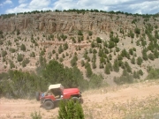
mark_making_dust
mark_on_the_mini-hike
mark_on_the_trail
mike_on_the_trail
mini-hike_entrance
mini-hike_part_1
mini-hike_part_2
mini-hike_part_3
mini-hike_part_4
mountain_ranges
narrow_trail
nice_views
overgrown
puffy_clouds
rocky
roger_on_the_trail
rough_spot
start_of_the_trail
starting_downhill
trail_in_scenery
trailhead_sign_1
trailhead_sign_2
trailhead_sign_3
trailhead_sign_4
trailhead_sign_5
up_hill
valley_below
views
walt_and_mark_in_scenery
walt_and_mark
walt_making_dust
walt_on_the_mini-hike
walt_on_the_trail
Join Us!
If you aren’t a Member or Subscriber, you can’t see all of the content on this site. Get membership information to see why this site is best when you join and log in

Information for Subscribers

When you log in you’ll see more information here:

  • Recent Community Forum posts
  • Recent polls
  • Upcoming Events you can attend
  • Links to online users

© 2000-2023 · TrailDamage.com · Terms and Conditions · About · Contact
Trail information is only accurate on the date posted. Trails may have changed or closed since that date. Use this information for historical purposes only.
Contact the Forest Service or Bureau of Land Management for up-to-date trail information.

/* ----------------------------------------- */ /* View slug: reports-other-reports-for-same-trail-slider - start */ /* ----------------------------------------- */ /* place the prev/next controls on the sides */ .td-transition-controls .wpv-filter-next-link, .td-transition-controls .wpv-filter-previous-link { border: none; font-size: 300%; position: absolute; top: 70px; } .td-transition-controls .wpv-filter-previous-link { left: 0; } .td-transition-controls .wpv-filter-next-link { right: 0; } /* center the page selector horizonatally */ .td-transition-controls ul.wpv_pagination_dots { text-align: center; margin-top: 10px; } /* center the page selector horizonatally */ .td-transition-controls ul.wpv_pagination_dots li.wpv_pagination_dots_item, .td-transition-controls .wpv_pagination_dots li a { display: inline-block; float: none; } /* remove the default styles */ .td-transition-controls .wpv_pagination_dots li a { text-decoration: none; border-bottom: none; } .td-slider-container { padding: 0 25px; margin-bottom: 20px; position: relative; width:100%; display:table; } .td-slides { position: relative; } .td-slides-image { float:left; display:table-cell; } .td-slides-image img { border:1px solid #c0c0c0; } .td-slides-content { padding:4px 4px 4px 10px; border-top:1px solid #c0c0c0; border-right:1px solid #c0c0c0; border-bottom:1px solid #c0c0c0; display:table-cell; height:227px; overflow:hidden; } .td-slides-content h3 { margin-top:8px; } .td-slides-leader { font-size:smaller; margin-top:4px; } /* ----------------------------------------- */ /* View slug: reports-other-reports-for-same-trail-slider - end */ /* ----------------------------------------- */
/* ----------------------------------------- */ /* Content Template: Template for a Single Report - start */ /* ----------------------------------------- */ .entry-header { display:none; } .entry-content h1 { margin-top:16px; padding-top:0; } h1 a { color:#222; } h1 a:hover { color:#666; } p.entry-meta { font-size:small; } #report-body-spacer { clear:both; width:100%; height:20px; } #addtoany-bar { margin-bottom:2em; text-align:center; } .category-reports .post-info .author, .post-info .date { display: none; } .addthis_recommended_horizontal { text-align:center !important; } /* ----------------------------------------- */ /* Content Template: Template for a Single Report - end */ /* ----------------------------------------- */ /* ----------------------------------------- */ /* Content Template: Loop item in REPORTS Runners - start */ /* ----------------------------------------- */ #runners-container { width:100%; clear:both; } .runner { border:1px solid #c0c0c0; margin:0 6px 6px 0; float:left; width:49%; height:81px; } .runner-image { float: left; } .runner-image img { margin:2px 10px 0 2px; height:75px; width:75px; } .runner-name { text-transform:uppercase; } .runner-name a { color:#222; } .runner-name a:hover { color:#666; } .runner-vehicle { font-size:small; } @media only screen and (max-width: 768px) { .runner { width:100%; } } /* ----------------------------------------- */ /* Content Template: Loop item in REPORTS Runners - end */ /* ----------------------------------------- */