TrailDamage.com

Photos, videos and information about 4x4 trails in Colorado and Utah

  • Trails
    • Colorado
    • Utah
  • Reports
    • Featured Photos
    • Featured Videos
    • Reports Calendar
  • Members
  • Search
  • Trail Damage Winners
  • FAQ
  • Community
  • Upcoming Events
  • Membership
  • Log In
  • Facebook
  • Instagram
  • RSS
  • Twitter
  • YouTube

Alder Creek 100717

July 17, 2010 by Mike Shannon

Alder Creek

Trail Run on July 17, 2010
Report and photos by Mike S., Trail Leader
View trail information for Alder Creek

Walt S.
Gray 2022 Jeep Wrangler Unlimited Rubicon 392
Mike S.
Silver 2004 Jeep Wrangler Rubicon
Bill S.
Yellow 2020 Jeep Wrangler Rubicon

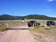
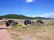
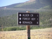
We started day three of our long weekend with Alder Creek. Monica had left Friday night after dinner, leaving just three vehicles again. We decided to run the trail in the opposite direction, so we started at highway 285. Finding the trail was easy as we had noted it the evening before as we returned to Salida from running other trails in the area.

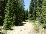
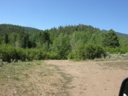
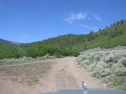
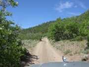
We were all aired down already, so after only a brief stop we proceeded up the trail. Route finding was easy, although there were a few spurs that went left down to the creek and to some dispersed campsites.

We followed the trail up Alder Creek, opting to stay near the creek rather than taking a branch of the trail that paralleled our route further up the ridge to the north. We'd leave that exploring for another time.

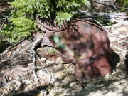
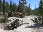
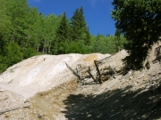
We stopped where some mine tailings towered over the trail at a switchback and wondered about the wreck of an old vehicle over the side of the trail. It looked like it dated to the 1920s.

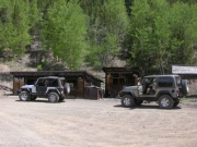
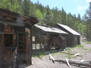
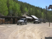
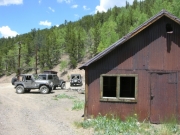
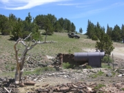
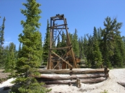
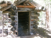
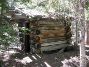
We stopped at the Colorado Belle Mine and at the log outhouse further up the trail. We wondered, who would make an outhouse using logs 16" in diameter? Even with these stops, we made good time and were soon above tree line.

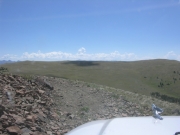
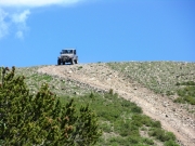
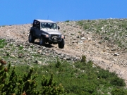
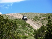
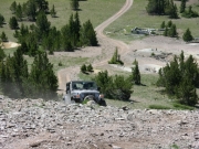
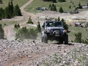
We climbed up to Round Mountain and enjoyed the view. The climb was loose and you almost needed lockers to get up it. After that, we took the spur to the left over Mount Manitou to where it intersected with Whale Hill so we would have that complete GPS track. The views are worth the side trip and the descent and climb of Mount Manitou, although short, is worth the ride.

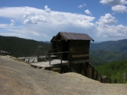
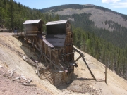
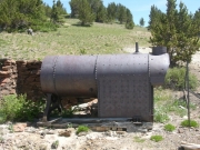
We continued down the trail after returning to Round Mountain and we were soon at the Antora Mine site. This was a perfect spot for lunch so we got out the chairs and sat in the old boiler house to take advantage of the shade. No one came while we were there and it was nice to have the site to ourselves. After packing up, we proceeded the short way left to intersect with the Toll Road Gulch trail. After that, we were off to find Kerber Creek!

ancient_wreck
antora_mine_part_1
antora_mine_part_2
antora_mine_part_3
antora_mine_part_4
antora_mine_part_5
antora_mine_part_6
at_the_start_part_1
at_the_start_part_2
at_the_top_of_mount_manitou
bill_at_the_mine
bill_down_round_mountain_part_1
bill_down_round_mountain_part_2
bill_down_round_mountain_part_3
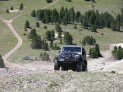
bill_up_round_mountain_part_1
bill_up_round_mountain_part_2
boiler_part_1
boiler_part_2
bumpy
colorado_belle_mine_part_1
colorado_belle_mine_part_2
directional_sign
down_mount_manitou
early_trail_part_1
early_trail_part_2
early_trail_part_3
early_trail_part_4
log_outhouse_part_1
log_outhouse_part_2
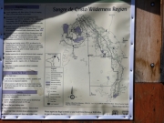
map
mike_at_the_mine
mike_on_round_mountain
mine_piles
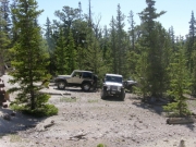
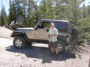
parked_at_the_mine
route_marker
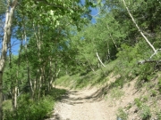
shelf_road_through_aspens
sign_to_whale_hill
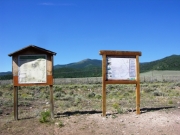
signs_at_the_start
walt_at_the_mine
walt_up_round_mountain
Join Us!
If you aren’t a Member or Subscriber, you can’t see all of the content on this site. Get membership information to see why this site is best when you join and log in

Information for Subscribers

When you log in you’ll see more information here:

  • Recent Community Forum posts
  • Recent polls
  • Upcoming Events you can attend
  • Links to online users

© 2000-2023 · TrailDamage.com · Terms and Conditions · About · Contact
Trail information is only accurate on the date posted. Trails may have changed or closed since that date. Use this information for historical purposes only.
Contact the Forest Service or Bureau of Land Management for up-to-date trail information.

/* ----------------------------------------- */ /* View slug: reports-other-reports-for-same-trail-slider - start */ /* ----------------------------------------- */ /* place the prev/next controls on the sides */ .td-transition-controls .wpv-filter-next-link, .td-transition-controls .wpv-filter-previous-link { border: none; font-size: 300%; position: absolute; top: 70px; } .td-transition-controls .wpv-filter-previous-link { left: 0; } .td-transition-controls .wpv-filter-next-link { right: 0; } /* center the page selector horizonatally */ .td-transition-controls ul.wpv_pagination_dots { text-align: center; margin-top: 10px; } /* center the page selector horizonatally */ .td-transition-controls ul.wpv_pagination_dots li.wpv_pagination_dots_item, .td-transition-controls .wpv_pagination_dots li a { display: inline-block; float: none; } /* remove the default styles */ .td-transition-controls .wpv_pagination_dots li a { text-decoration: none; border-bottom: none; } .td-slider-container { padding: 0 25px; margin-bottom: 20px; position: relative; width:100%; display:table; } .td-slides { position: relative; } .td-slides-image { float:left; display:table-cell; } .td-slides-image img { border:1px solid #c0c0c0; } .td-slides-content { padding:4px 4px 4px 10px; border-top:1px solid #c0c0c0; border-right:1px solid #c0c0c0; border-bottom:1px solid #c0c0c0; display:table-cell; height:227px; overflow:hidden; } .td-slides-content h3 { margin-top:8px; } .td-slides-leader { font-size:smaller; margin-top:4px; } /* ----------------------------------------- */ /* View slug: reports-other-reports-for-same-trail-slider - end */ /* ----------------------------------------- */
/* ----------------------------------------- */ /* Content Template: Template for a Single Report - start */ /* ----------------------------------------- */ .entry-header { display:none; } .entry-content h1 { margin-top:16px; padding-top:0; } h1 a { color:#222; } h1 a:hover { color:#666; } p.entry-meta { font-size:small; } #report-body-spacer { clear:both; width:100%; height:20px; } #addtoany-bar { margin-bottom:2em; text-align:center; } .category-reports .post-info .author, .post-info .date { display: none; } .addthis_recommended_horizontal { text-align:center !important; } /* ----------------------------------------- */ /* Content Template: Template for a Single Report - end */ /* ----------------------------------------- */ /* ----------------------------------------- */ /* Content Template: Loop item in REPORTS Runners - start */ /* ----------------------------------------- */ #runners-container { width:100%; clear:both; } .runner { border:1px solid #c0c0c0; margin:0 6px 6px 0; float:left; width:49%; height:81px; } .runner-image { float: left; } .runner-image img { margin:2px 10px 0 2px; height:75px; width:75px; } .runner-name { text-transform:uppercase; } .runner-name a { color:#222; } .runner-name a:hover { color:#666; } .runner-vehicle { font-size:small; } @media only screen and (max-width: 768px) { .runner { width:100%; } } /* ----------------------------------------- */ /* Content Template: Loop item in REPORTS Runners - end */ /* ----------------------------------------- */