Mount Bross
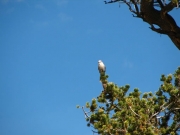
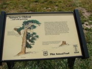
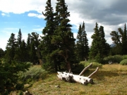
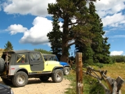
We left the Conifer meeting location at about 8:20AM and proceeded to the turnoff for Kite Lake in Alma. The turnoff for Mount Bross is about 2 1/2 miles up this road. Another 2 1/2 miles of dried-up mud puddles and one ascending section with 3 or 4 moguls brought us to the Bristlecone Pine Scenic Area. We stopped here to read the information sign and a Grey Jay flew up from the meadow and eventually landed on a Bristlecone Pine tree near us.
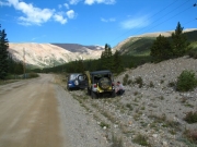
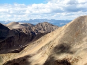
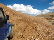
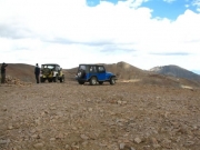
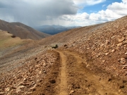
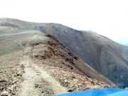
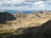
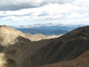
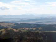
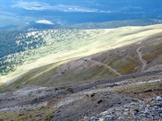
From here to the top the roadway was mainly a shelf road above timberline -- fairly wide but not a two-lane road. We did not encounter any washed out sections like we were anticipating. There were a few spurs which cut back from the main route, but these appear to have not seen much use recently. Near and at the top there were a few hikers. We put on jackets at the top (14,172 feet) as it was cool with a mild breeze.
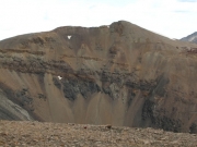
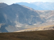
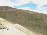
On the way down we took a roadway which looked as if it went up Mount Cameron and possibly to Mount Lincoln. After about 1/3 mile it became a narrow route recently built by a small bulldozer. About 1/5 mile further there was a wide spot with some rocks piled across the route. A hundred feet or so further on, the Caterpillar tracks ended and the route continued as a wide hiking trail. Perhaps the Forest Service is widening this trail to replace the vehicle roadway to the top of Mount Lincoln which we have heard is now closed due to some mining claims along the roadway. The existing road to Mount Lincoln is very visible across the valley to the north, however, we did not see any visitors using it.
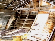
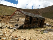
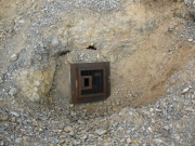
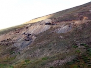
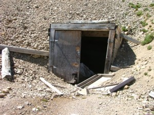
As we headed back, two rental jeeps descended from Mount Bross. On the way down we took road 857 past some old mining buildings and eventually connected with the main roadway below the Bristlecone Pine Scenic Area. It ended up being an easy route downhill.
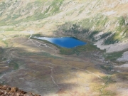
We decided not to visit Kite Lake as its shape would not be as obvious from the ground and had numerous vehicles at it. We went to Fairplay for gas and lunch.

