
TrailDamage.com

Photos, videos and information about 4x4 trails in Colorado and Utah

  • Trails
    • Colorado
    • Utah
  • Reports
    • Featured Photos
    • Reports Calendar
  • Members
  • Search
  • FAQ
  • Community
  • Upcoming Events
  • Membership
  • Log In
  • Facebook
  • Instagram
  • RSS
  • Twitter
  • YouTube
  • Trails
    • Colorado
    • Utah
  • Reports
    • Featured Photos
    • Reports Calendar
  • Members
  • Search
  • FAQ
  • Community
  • Upcoming Events
  • Membership
  • Log In

Hell’s Backbone 140530

May 30, 2014 by Mike Shannon

Hell’s Backbone

Trail Run on May 30, 2014
Report and photos by Mike S., Trail Leader
View trail information for Hell’s Backbone

Mike S.
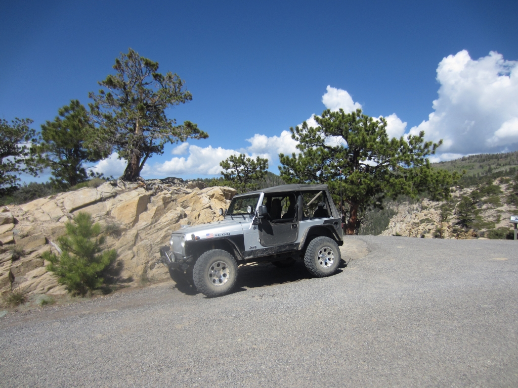
Silver 2004 Jeep Wrangler Rubicon
Walt S.
Gray 2022 Jeep Wrangler Unlimited Rubicon 392

It was day four of our Escalante-based trip. Mike and Walt were off exploring while the others in the group were sightseeing at Bryce Canyon. The weather was clear and the cooler temperatures at the higher elevations on this road were a welcome relief from the heat below.

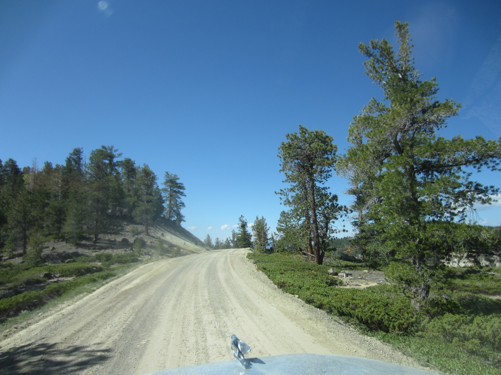
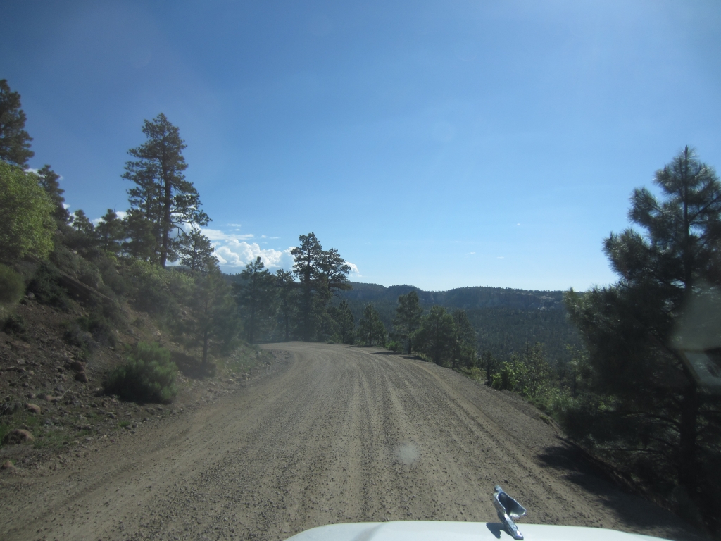
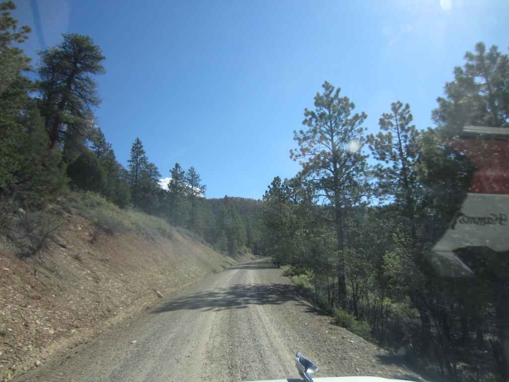
We had driven Pine Creek Road up by Posey Lake and Cyclone Lake, and then we returned to the intersection with Hell's Backbone as that was one of the primary trails we wanted to drive. The surface was smooth and well graded, and it would stay that way for the whole trail. Traffic was very light on the road and we saw only a handful of other vehicles for the entire length of it.

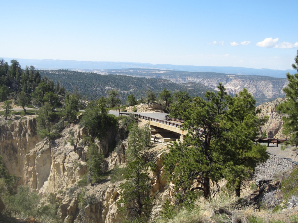
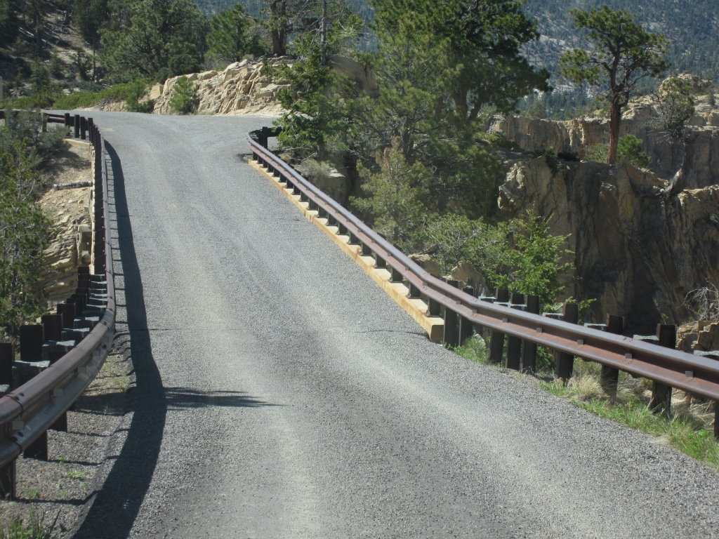
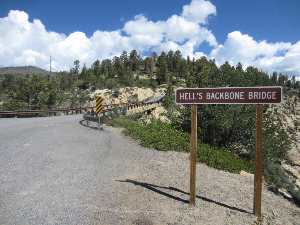
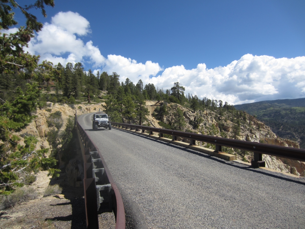
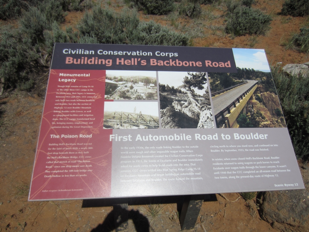
We drove to the historic bridge, stopping a couple of times for pictures, and once for a hound in the middle of the road. He had a large radio collar on, so we were confident that he wasn't lost. We would see him later, riding on top of a pick-up truck with other dogs.

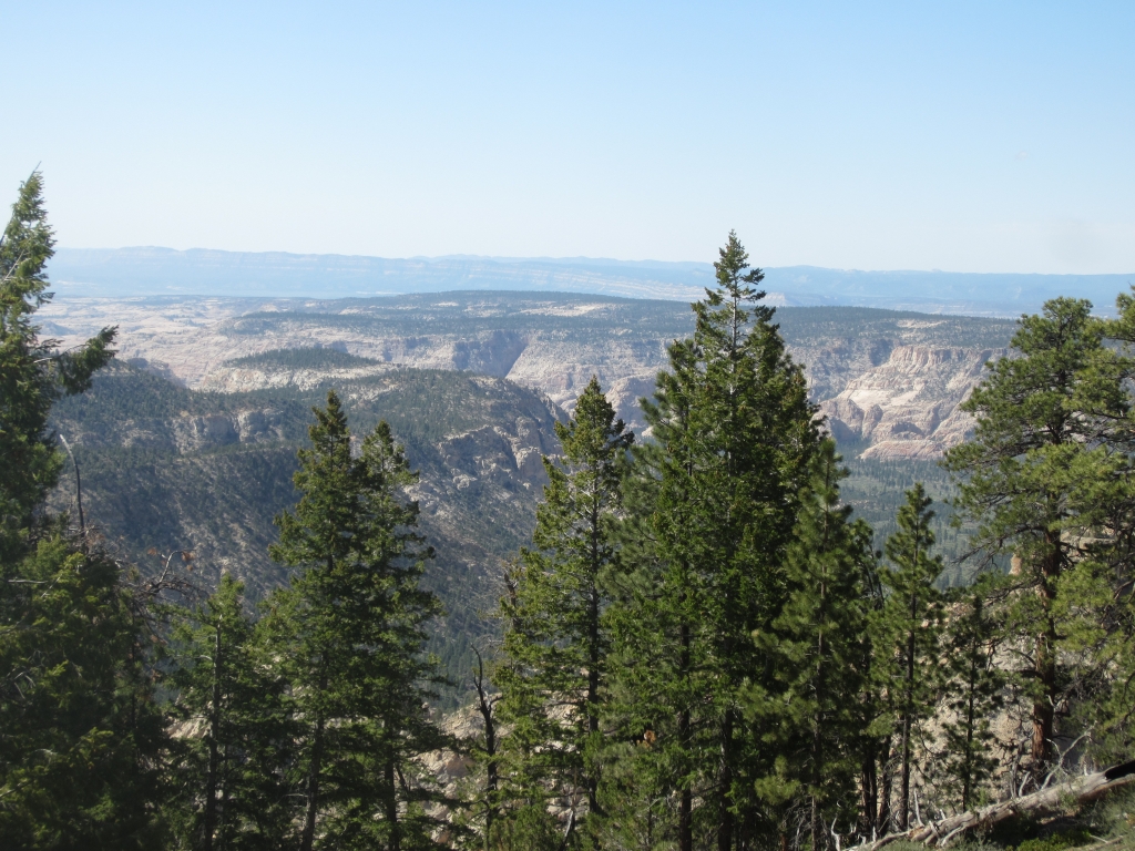
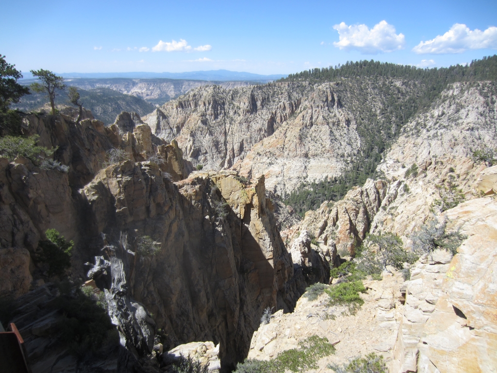
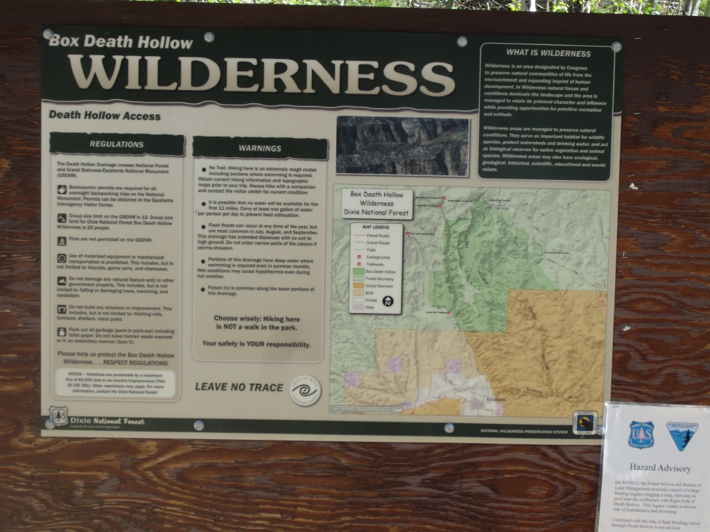
The views of the Box Death Hollow wilderness from the bridge were fantastic and we spent some time there before moving on. After that, we passed an area where there had been a fire, but it appeared to only scorch the pine trunks and burn the undergrowth, so we wondered if it had been a controlled burn. Shortly after this, the road dropped back down to an area of ranchland, and was improved from here to the end at Utah Route 12 near Boulder.

We were soon back out to civilization again and moving on to the Burr Trail, one mile away at Boulder.

approaching_the_bridge
box_death_hollow_sign
climbing
hells_backbone_bridge_part_1
hells_backbone_bridge_part_2
hells_backbone_bridge_part_3
mike_on_the_bridge
mike_parked
on_the_road_part_1
on_the_road_part_2
sign_at_the_end
upper_box_death_hollow_part_1
upper_box_death_hollow_part_2
upper_box_death_hollow_part_3
upper_box_death_hollow_part_4
walt_on_the_bridge_part_1
walt_on_the_bridge_part_2
Join Us!
If you aren’t a Member or Subscriber, you can’t see all of the content on this site. Get membership information to see why this site is best when you join and log in

Information for Subscribers

When you log in you’ll see more information here:

  • Recent Community Forum posts
  • Recent polls
  • Upcoming Events you can attend
  • Links to online users

© 2000-2026 · TrailDamage.com · Terms and Conditions · About · Contact
Trail information is only accurate on the date posted. Trails may have changed or closed since that date. Use this information for historical purposes only.
Contact the Forest Service or Bureau of Land Management for up-to-date trail information.