TrailDamage.com

Photos, videos and information about 4x4 trails in Colorado and Utah

  • Trails
    • Colorado
    • Utah
  • Reports
    • Featured Photos
    • Featured Videos
    • Reports Calendar
  • Members
  • Search
  • Trail Damage Winners
  • FAQ
  • Community
  • Upcoming Events
  • Membership
  • Log In
  • Facebook
  • Instagram
  • RSS
  • Twitter
  • YouTube

Williams Peak Road 060922

September 22, 2006 by Monica

Williams Peak Road

Trail Run on September 22, 2006
Report and photos by Monica I., Trail Leader
View trail information for Williams Peak Road

Monica I.
Red 2010 Jeep Wrangler Rubicon
Mike S.
Silver 2004 Jeep Wrangler Rubicon
Walt S.
Gray 2018 Jeep Wrangler Unlimited Rubicon

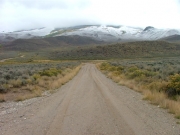
We were on our way to do some wheeling in the Steamboat Springs area, and this trail was on the way. It was really easy to find, and the scenery was awesome.

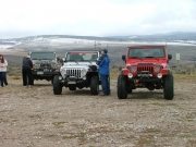
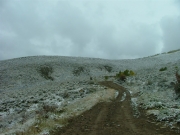
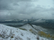
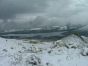
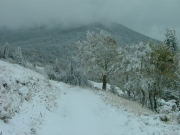
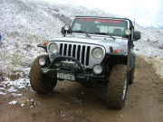
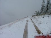
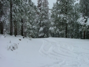
We disconnected our sway bars but didn't air down. There was a dusting of snow where we were, but it didn't look like it was going to be too bad.

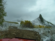
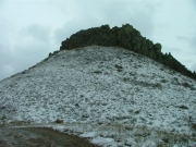
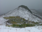
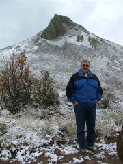
We followed the regular trail and noticed a shortcut on the way, so we decided to try that on the way down. Haystack Mountain was really cool, and it was nice to see it from all different angles as we climbed up and around it.

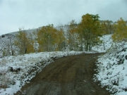
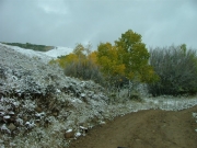
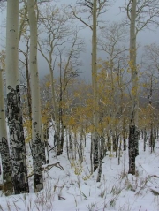
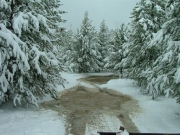
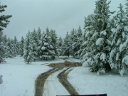
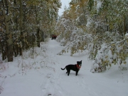
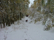
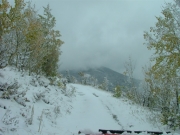
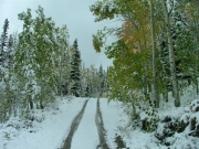
The aspen trees were almost all yellow, but they all had snow on them. It was weird to see the fall colors with snow, all on the first day of fall.

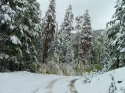
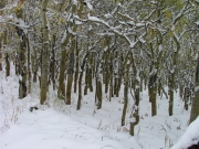
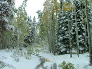
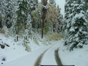
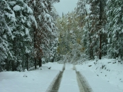
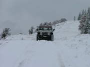
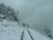
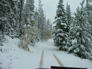
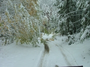
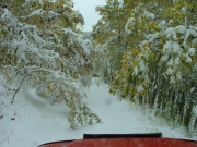
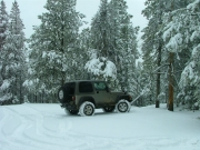
We climbed up the switchbacks, following another vehicle who was either hours or a day or two ahead of us. The snow got deeper, and it wasn't long before we were in a few inches of snow. The heavy, early snow had weighed down a lot of the trees, making them lean far into the trail. It was mostly aspens in the road.

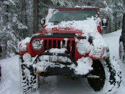
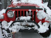
Monica was first, and she would only have to touch the snow-laden trees with the front of her Jeep. Then the snow would move off of the trees just enough to spring back up, depositing all of the snow on her Jeep. Sometimes there were quite a few aspen trees to drive under this way.

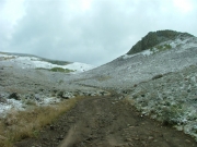
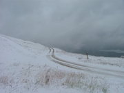
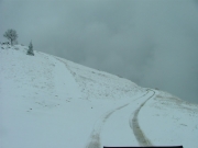
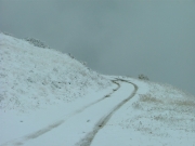
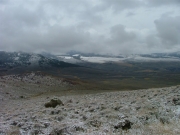
We climbed and climbed and finally got to the intersection with the radio tower road. The main trail curved around a hill on a very exposed road, but the snow wasn't too deep and the trail wasn't steep so we continued on. We noticed that the vehicle tracks we were following went in and came back out, then went up to the radio tower.

Soon we came to where the vehicle's tracks stopped and turned around. There were a couple of aspens down in the trail, and they weren't moving.

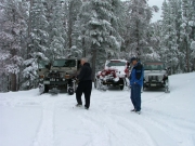
Mike got out his hatchet and worked on the branches so he could clear the road. It wasn't the first time he'd done it, and his "Hatchet Man" nickname still fit. He worked on the tree with Walt's help, and it wasn't long before the trail was cleared.

We kept going and the trail started climbing in the trees. The snow got deeper and deeper, and when we got to a wide spot we got out and talked about how far we'd be going. The weather report said that a big snow was about to start, and we were worried about getting snowed in on the dead-end trail. We were seven miles in and a little over halfway to Williams Peak, but we decided it was too risky. We turned around and headed back out.

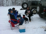
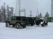
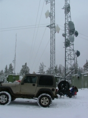
When we got to the radio tower road we decided to check that out, too. The road was mellow all the way up, and the parking area next to the radio tower didn't have too much snow on it. It was lightly snowing when we pulled out chairs and food for lunch.

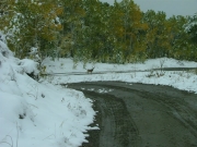
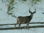
We had a quick lunch because it was getting colder and colder, then we headed down. On the switchbacks on the way down there were two deer next to the road. One posed long enough for a picture, then they were off.

We got to the bottom and though the weather wasn't great the roads were still clear. We reconnected our sway bars and headed up to Steamboat Springs. We'll have to come back when the weather is better.

airing_down
around_a_corner
aspen_carwash
aspens_and_snow
aspens_changing
clear_trail
curving_around_fallen_trees
deer_part_1
deer_part_2
dusting_of_snow
evergreens
exposed
fall_and_winter_together
fall_trees
first_climb
forest_service_road_200
green_mountain_reservoir_part_1
green_mountain_reservoir_part_2
green_mountain_reservoir_part_3
haystack_mountain_part_1
haystack_mountain_part_2
haystack_mountain_part_3
highway_9
intersection
looks_like_winter
low-hanging_trees
lunch_part_1
lunch_part_2
lunch_part_3
mike_and_haystack_mountain
mike_and_walt
mike_in_snow
mike_on_the_trail
monica_after_clearing_snow_part_1
monica_after_clearing_snow_part_2
muddy
narrow_road
open_area
puddle_part_1
puddle_part_2
regina_part_1
regina_part_2
shelf_road_part_1
shelf_road_part_2
shelf_road_part_3
shelf_road_part_4
shelf_road_part_5
snow-covered_trail
start_of_the_trail
through_heavy_trees
through_the_aspens
tight_section
tracks_in_the_snow
trailhead_and_airdown_area
trailhead
turning_around
valley_view
walt_and_mike
walt_in_snow
walt_on_the_trail
yellow_and_white
Join Us!
If you aren’t a Member or Subscriber, you can’t see all of the content on this site. Get membership information to see why this site is best when you join and log in
Information for Subscribers

When you log in you’ll see more information here:

  • Recent Community Forum posts
  • Recent polls
  • Upcoming Events you can attend
  • Links to online users

© 2000-2021 · TrailDamage.com · Terms and Conditions · About · Contact
Trail information is only accurate on the date posted. Trails may have changed or closed since that date. Use this information for historical purposes only.
Contact the Forest Service or Bureau of Land Management for up-to-date trail information.

/* ----------------------------------------- */ /* View slug: reports-other-reports-for-same-trail-slider - start */ /* ----------------------------------------- */ /* place the prev/next controls on the sides */ .td-transition-controls .wpv-filter-next-link, .td-transition-controls .wpv-filter-previous-link { border: none; font-size: 300%; position: absolute; top: 70px; } .td-transition-controls .wpv-filter-previous-link { left: 0; } .td-transition-controls .wpv-filter-next-link { right: 0; } /* center the page selector horizonatally */ .td-transition-controls ul.wpv_pagination_dots { text-align: center; margin-top: 10px; } /* center the page selector horizonatally */ .td-transition-controls ul.wpv_pagination_dots li.wpv_pagination_dots_item, .td-transition-controls .wpv_pagination_dots li a { display: inline-block; float: none; } /* remove the default styles */ .td-transition-controls .wpv_pagination_dots li a { text-decoration: none; border-bottom: none; } .td-slider-container { padding: 0 25px; margin-bottom: 20px; position: relative; width:100%; display:table; } .td-slides { position: relative; } .td-slides-image { float:left; display:table-cell; } .td-slides-image img { border:1px solid #c0c0c0; } .td-slides-content { padding:4px 4px 4px 10px; border-top:1px solid #c0c0c0; border-right:1px solid #c0c0c0; border-bottom:1px solid #c0c0c0; display:table-cell; height:227px; overflow:hidden; } .td-slides-content h3 { margin-top:8px; } .td-slides-leader { font-size:smaller; margin-top:4px; } /* ----------------------------------------- */ /* View slug: reports-other-reports-for-same-trail-slider - end */ /* ----------------------------------------- */
/* ----------------------------------------- */ /* Content Template: Template for a Single Report - start */ /* ----------------------------------------- */ .entry-header { display:none; } .entry-content h1 { margin-top:16px; padding-top:0; } h1 a { color:#222; } h1 a:hover { color:#666; } p.entry-meta { font-size:small; } #report-body-spacer { clear:both; width:100%; height:20px; } #addtoany-bar { margin-bottom:2em; text-align:center; } .category-reports .post-info .author, .post-info .date { display: none; } .addthis_recommended_horizontal { text-align:center !important; } /* ----------------------------------------- */ /* Content Template: Template for a Single Report - end */ /* ----------------------------------------- */ /* ----------------------------------------- */ /* Content Template: Loop item in REPORTS Runners - start */ /* ----------------------------------------- */ #runners-container { width:100%; clear:both; } .runner { border:1px solid #c0c0c0; margin:0 6px 6px 0; float:left; width:49%; height:81px; } .runner-image { float: left; } .runner-image img { margin:2px 10px 0 2px; height:75px; width:75px; } .runner-name { text-transform:uppercase; } .runner-name a { color:#222; } .runner-name a:hover { color:#666; } .runner-vehicle { font-size:small; } @media only screen and (max-width: 768px) { .runner { width:100%; } } /* ----------------------------------------- */ /* Content Template: Loop item in REPORTS Runners - end */ /* ----------------------------------------- */