TrailDamage.com

Photos, videos and information about 4x4 trails in Colorado and Utah

  • Trails
    • Colorado
    • Utah
  • Reports
    • Featured Photos
    • Featured Videos
    • Reports Calendar
  • Members
  • Search
  • Trail Damage Winners
  • FAQ
  • Community
  • Upcoming Events
  • Membership
  • Log In
  • Facebook
  • Instagram
  • RSS
  • Twitter
  • YouTube

Whale Hill 100716

July 16, 2010 by Monica

Whale Hill

Trail Run on July 16, 2010
Report and photos by Monica I., Trail Leader
View trail information for Whale Hill

Bill S.
Yellow 2020 Jeep Wrangler Rubicon
Monica I.
Red 2010 Jeep Wrangler Rubicon
Mike S.
Silver 2004 Jeep Wrangler Rubicon
Walt S.
Gray 2022 Jeep Wrangler Unlimited Rubicon 392

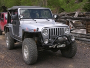
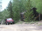
After completing Toll Road Gulch and lunching at the Exchequer town site, we headed up Whale Hill. Being unfamiliar with the trail and not having a GPS track to follow, we were exploring. We thought that the road immediately north of Exchequer looked like it might take us to Whale Hill, so we took it.

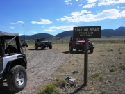
At the first "T" intersection we took a wrong turn that turned out to be fortunate because we had stumbled on the fun way in. If we had followed the main trail as shown on the informational map sign on the kiosks we would have missed the steep climb.

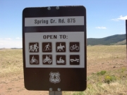
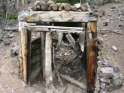
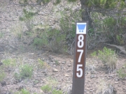
We did go check out the Minnie Lynch Mine but we didn't stop there. We returned to the "Y" and turned uphill. Mike went first, not sure if this would lead us where we wanted, but it proved to be the route we wanted. We all climbed until we came out at the intersection with forest service road 875.

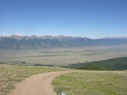
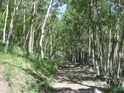
After admiring the view here, we turned right and continued to climb. The trail was narrow, and at times we wondered if it would fizzle out, but it continued to be marked with the ore cart symbols identifying this as Whale Hill. At one point along the shelf road, we came upon an abandoned utility trailer pushed over the side. We wondered about the events that led to someone getting to that point and realizing they were in a pickle. This is no trail for a trailer! Once again, we were glad that we were not meeting traffic due to the few available places to pass.

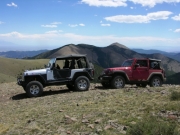
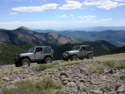
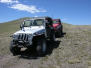
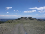
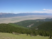
After emerging above tree line, we stopped at the top of Whale Hill to take in the 360-degree view. The trail continued up to a "T" and we explored the route to the right, but this soon dead-ended at an overlook. Mike's GPS showed the trail continuing, but there was no sign of it now. We turned around and headed toward Mount Manitou and could see a steep climb up the side of the mountain. We weren't destined to take that trail today, though.

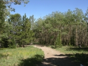
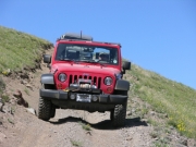
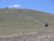
We found the correct spur heading down the mountain toward the east and followed it as it dropped down into the trees again. It was a steep drive, and at times it was even on a shelf road. Mike even slid a bit sideways in the loose dirt, once. After our descent we were soon at the end of the trail and ready to find the Turquoise Mine trail to finish our second day.

antora_mine
at_the_exit
at_the_top_of_whale_hill_part_1
at_the_top_of_whale_hill_part_2
barn_across_from_the_exit
bill_on_the_trail
cabin_in_the_aspens
climbing_through_aspens
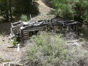
early_cabin_ruins
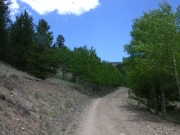
early_trail
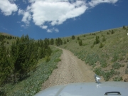
emerging_above_treeline
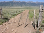
gate
hayden_pass_in_the_distance
highway_sign_part_1
highway_sign_part_2
into_the_aspens
mellow_trail
mike_and_monica
mike_on_the_trail
mine_entrance
mine_office
mine_ruins_part_1
mine_ruins_part_2
mine_ruins_part_3
monica_on_a_shelf_road
monica_on_the_trail
spur_road
trail_marker
valley_view
walt_and_bill
walt_on_the_trail
Join Us!
If you aren’t a Member or Subscriber, you can’t see all of the content on this site. Get membership information to see why this site is best when you join and log in

Information for Subscribers

When you log in you’ll see more information here:

  • Recent Community Forum posts
  • Recent polls
  • Upcoming Events you can attend
  • Links to online users

© 2000-2022 · TrailDamage.com · Terms and Conditions · About · Contact
Trail information is only accurate on the date posted. Trails may have changed or closed since that date. Use this information for historical purposes only.
Contact the Forest Service or Bureau of Land Management for up-to-date trail information.

/* ----------------------------------------- */ /* View slug: reports-other-reports-for-same-trail-slider - start */ /* ----------------------------------------- */ /* place the prev/next controls on the sides */ .td-transition-controls .wpv-filter-next-link, .td-transition-controls .wpv-filter-previous-link { border: none; font-size: 300%; position: absolute; top: 70px; } .td-transition-controls .wpv-filter-previous-link { left: 0; } .td-transition-controls .wpv-filter-next-link { right: 0; } /* center the page selector horizonatally */ .td-transition-controls ul.wpv_pagination_dots { text-align: center; margin-top: 10px; } /* center the page selector horizonatally */ .td-transition-controls ul.wpv_pagination_dots li.wpv_pagination_dots_item, .td-transition-controls .wpv_pagination_dots li a { display: inline-block; float: none; } /* remove the default styles */ .td-transition-controls .wpv_pagination_dots li a { text-decoration: none; border-bottom: none; } .td-slider-container { padding: 0 25px; margin-bottom: 20px; position: relative; width:100%; display:table; } .td-slides { position: relative; } .td-slides-image { float:left; display:table-cell; } .td-slides-image img { border:1px solid #c0c0c0; } .td-slides-content { padding:4px 4px 4px 10px; border-top:1px solid #c0c0c0; border-right:1px solid #c0c0c0; border-bottom:1px solid #c0c0c0; display:table-cell; height:227px; overflow:hidden; } .td-slides-content h3 { margin-top:8px; } .td-slides-leader { font-size:smaller; margin-top:4px; } /* ----------------------------------------- */ /* View slug: reports-other-reports-for-same-trail-slider - end */ /* ----------------------------------------- */
/* ----------------------------------------- */ /* Content Template: Template for a Single Report - start */ /* ----------------------------------------- */ .entry-header { display:none; } .entry-content h1 { margin-top:16px; padding-top:0; } h1 a { color:#222; } h1 a:hover { color:#666; } p.entry-meta { font-size:small; } #report-body-spacer { clear:both; width:100%; height:20px; } #addtoany-bar { margin-bottom:2em; text-align:center; } .category-reports .post-info .author, .post-info .date { display: none; } .addthis_recommended_horizontal { text-align:center !important; } /* ----------------------------------------- */ /* Content Template: Template for a Single Report - end */ /* ----------------------------------------- */ /* ----------------------------------------- */ /* Content Template: Loop item in REPORTS Runners - start */ /* ----------------------------------------- */ #runners-container { width:100%; clear:both; } .runner { border:1px solid #c0c0c0; margin:0 6px 6px 0; float:left; width:49%; height:81px; } .runner-image { float: left; } .runner-image img { margin:2px 10px 0 2px; height:75px; width:75px; } .runner-name { text-transform:uppercase; } .runner-name a { color:#222; } .runner-name a:hover { color:#666; } .runner-vehicle { font-size:small; } @media only screen and (max-width: 768px) { .runner { width:100%; } } /* ----------------------------------------- */ /* Content Template: Loop item in REPORTS Runners - end */ /* ----------------------------------------- */