TrailDamage.com

Photos, videos and information about 4x4 trails in Colorado and Utah

  • Trails
    • Colorado
    • Utah
  • Reports
    • Featured Photos
    • Featured Videos
    • Reports Calendar
  • Members
  • Search
  • Trail Damage Winners
  • FAQ
  • Community
  • Upcoming Events
  • Membership
  • Log In
  • Facebook
  • Instagram
  • RSS
  • Twitter
  • YouTube

Turret Trail 130928

September 28, 2013 by Monica

Turret Trail

Trail Run on September 28, 2013
Report and photos by Monica I., Trail Leader
View trail information for Turret Trail

Julie M.
Green 2012 Jeep Wrangler Unlimited Rubicon
Bill S.
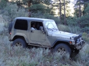
Khaki 2004 Jeep Wrangler Rubicon
Monica I.
Red 2010 Jeep Wrangler Rubicon
Matt K.
White 2016 Jeep Wrangler Unlimited Rubicon
Walt S.
Gray 2018 Jeep Wrangler Unlimited Rubicon

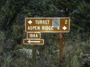
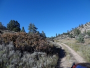
We were heading down Aspen Ridge toward the Turret Trail when we saw a big sign pointing the way to Turret a bit north compared to our goal. It was close enough, so we took it. It ended up meeting the other trail just west of the quarry, so it all worked out. This ended up being an odd trail from the start.

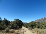
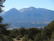
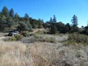
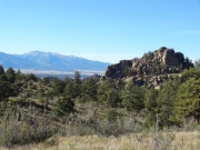
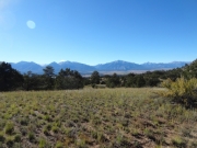
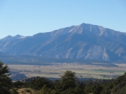
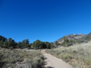
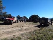
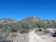
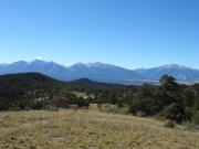
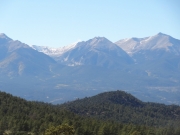
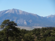
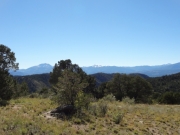
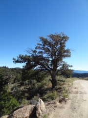
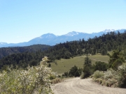
We stopped at a high point just inside the trail to find a campfire ring and some amazing views. How were we not tired of the same views all day from slightly different vantage points? We asked ourselves that question as we took more pictures of the same mountains.

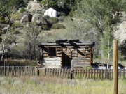
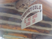
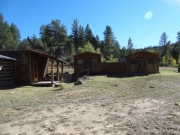
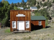
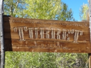
There were lots of small mining prospects in the area, and when the easy road took us to the town of Turret we saw where they all must have lived at one point. We snapped some pictures of the buildings in town as we headed west into Stafford Gulch, but we soon found a large, dead tree across the trail. It was nice back in the gulch but that trail wasn't going to work out so we turned around and headed back into town.

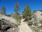
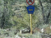
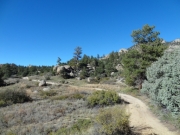
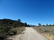
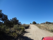
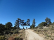
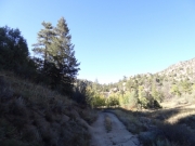
We headed east into Cat Gulch and found another dead end, so we turned around and found our way back in town. That left only one option, so we turned north to continue following forest service road 184. That ended up being a winner, though the road was barely used. Erosion had left big cracks in a lot of the trail, and it was overgrown in spots. Still, there were 4x4 tracks on it that were relatively fresh, so we kept going.

We got to an intersection and Monica guessed that left was the way to go. Matt followed, and they soon found that was the wrong way. No one else had made the turn, so we got back together to take the other route.

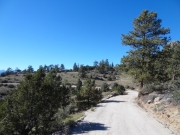
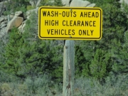
Route finding was easy after that. We stopped at another wide and high spot to see the scenery again, though it wasn't ever as nice as the original overlook. We even came to a clean and new sign noting that wash-outs would be present. The warning was a little late.

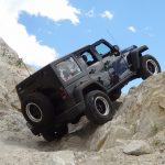
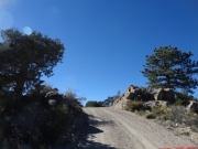
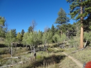
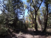
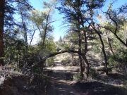
Continuing on, we came to a spot where the trees were very close to the trail in an uphill section. Julie decided she'd wait as we knew the trail would eventually dead end and we didn't know the condition of the rest of it. The rest of us pressed on, moving under a green and healthy aspen that was otherwise drooping over the trail. Luckily, that was the only truly tight spot.

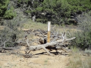
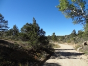
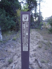
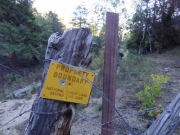
We passed by an old cabin, and it reminded us that the trail wasn't always so desolate. The trail went through tight ravines and up and over hills, and then down into a wash with big trees and open spots. There were even fire rings. Then we came into another ravine and saw a fence. End of the road.

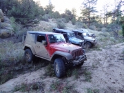
We got out to stretch our legs a bit, but we didn't hang out for long. The sun was setting and Julie was waiting, so we headed back. We were gone about 25 minutes, and we found Julie waiting and enjoying the solitude. Once we were all back together it was an easy trip back.

Just before getting back to Turret we met a couple in a truck. They told us about a pig roast and the whole town was invited. We talked about it but decided to head back to our neck of the woods in Buena Vista, so we didn't stop. We ended up regretting the adventure, so we'll stop next time we hear about a party.

This was a weird trail, but in the end it was an adventure. It was a really scenic and fun day.

blue_sky
climbing
closed_trail
collegiate_peaks
cool_rocks
county_road
curve
early_bumps
early_trail
easy_road
easy
jeeps
layers
line_of_pine
meadow_view
mount_princeton
muted_greens
near_the_end
nice_scenery
north_from_turret
old_cabin
overgrown
parked_at_the_end
parked_at_the_overlook
rolling_hills
shaded
shadows
sign_at_the_end_1
sign_at_the_end_2
sign_at_the_end_3
tall_trees
to_turret
trail_with_a_view
tree_arch
turret_cabin
turret_post_office_sign
turret_post_office
turret_sample_room
turret_sign_1
turret_sign_2
turret_sign
two_track
up_and_over
view_from_the_overlook_part_1
view_from_the_overlook_part_2
view_from_the_overlook_part_3
view_from_the_overlook_part_4
walt_at_the_end
wash-out_warning
wash
weathered_tree
Join Us!
If you aren’t a Member or Subscriber, you can’t see all of the content on this site. Get membership information to see why this site is best when you join and log in

Information for Subscribers

When you log in you’ll see more information here:

  • Recent Community Forum posts
  • Recent polls
  • Upcoming Events you can attend
  • Links to online users

© 2000-2021 · TrailDamage.com · Terms and Conditions · About · Contact
Trail information is only accurate on the date posted. Trails may have changed or closed since that date. Use this information for historical purposes only.
Contact the Forest Service or Bureau of Land Management for up-to-date trail information.
/* ----------------------------------------- */ /* View slug: reports-other-reports-for-same-trail-slider - start */ /* ----------------------------------------- */ /* place the prev/next controls on the sides */ .td-transition-controls .wpv-filter-next-link, .td-transition-controls .wpv-filter-previous-link { border: none; font-size: 300%; position: absolute; top: 70px; } .td-transition-controls .wpv-filter-previous-link { left: 0; } .td-transition-controls .wpv-filter-next-link { right: 0; } /* center the page selector horizonatally */ .td-transition-controls ul.wpv_pagination_dots { text-align: center; margin-top: 10px; } /* center the page selector horizonatally */ .td-transition-controls ul.wpv_pagination_dots li.wpv_pagination_dots_item, .td-transition-controls .wpv_pagination_dots li a { display: inline-block; float: none; } /* remove the default styles */ .td-transition-controls .wpv_pagination_dots li a { text-decoration: none; border-bottom: none; } .td-slider-container { padding: 0 25px; margin-bottom: 20px; position: relative; width:100%; display:table; } .td-slides { position: relative; } .td-slides-image { float:left; display:table-cell; } .td-slides-image img { border:1px solid #c0c0c0; } .td-slides-content { padding:4px 4px 4px 10px; border-top:1px solid #c0c0c0; border-right:1px solid #c0c0c0; border-bottom:1px solid #c0c0c0; display:table-cell; height:227px; overflow:hidden; } .td-slides-content h3 { margin-top:8px; } .td-slides-leader { font-size:smaller; margin-top:4px; } /* ----------------------------------------- */ /* View slug: reports-other-reports-for-same-trail-slider - end */ /* ----------------------------------------- */
/* ----------------------------------------- */ /* Content Template: Template for a Single Report - start */ /* ----------------------------------------- */ .entry-header { display:none; } .entry-content h1 { margin-top:16px; padding-top:0; } h1 a { color:#222; } h1 a:hover { color:#666; } p.entry-meta { font-size:small; } #report-body-spacer { clear:both; width:100%; height:20px; } #addtoany-bar { margin-bottom:2em; text-align:center; } .category-reports .post-info .author, .post-info .date { display: none; } .addthis_recommended_horizontal { text-align:center !important; } /* ----------------------------------------- */ /* Content Template: Template for a Single Report - end */ /* ----------------------------------------- */ /* ----------------------------------------- */ /* Content Template: Loop item in REPORTS Runners - start */ /* ----------------------------------------- */ #runners-container { width:100%; clear:both; } .runner { border:1px solid #c0c0c0; margin:0 6px 6px 0; float:left; width:49%; height:81px; } .runner-image { float: left; } .runner-image img { margin:2px 10px 0 2px; height:75px; width:75px; } .runner-name { text-transform:uppercase; } .runner-name a { color:#222; } .runner-name a:hover { color:#666; } .runner-vehicle { font-size:small; } @media only screen and (max-width: 768px) { .runner { width:100%; } } /* ----------------------------------------- */ /* Content Template: Loop item in REPORTS Runners - end */ /* ----------------------------------------- */