TrailDamage.com

Photos, videos and information about 4x4 trails in Colorado and Utah

  • Trails
    • Colorado
    • Utah
  • Reports
    • Featured Photos
    • Featured Videos
    • Reports Calendar
  • Members
  • Search
  • Trail Damage Winners
  • FAQ
  • Community
  • Upcoming Events
  • Membership
  • Log In
  • Facebook
  • Instagram
  • RSS
  • Twitter
  • YouTube

Thompson Park 120915

September 15, 2012 by Monica

Thompson Park

Trail Run on September 15, 2012
Report and photos by Monica I., Trail Leader
View trail information for Thompson Park

Mike C.
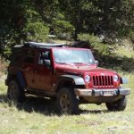
Red 2012 Jeep Wrangler Unlimited Rubicon
Gary R.
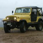
Yellow 1978 Jeep CJ-7
Walt S.
Gray 2022 Jeep Wrangler Unlimited Rubicon 392
Monica I.
Red 2010 Jeep Wrangler Rubicon

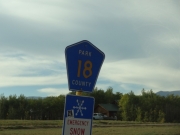
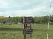
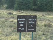
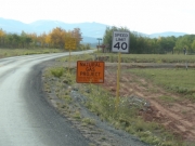
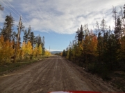
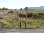
It was getting late and the weather was turning cold, but we didn't care. There were so many trails in the area yet to do, and a lot of us just didn't feel finished yet for the day. We headed a short distance on the pavement to connect with county road 18 to check out Thompson Park. We were happy to be following the GPS directions to the trailhead, though there were lots of signs pointing the way through the residential area.

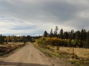
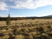
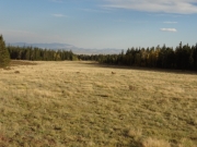
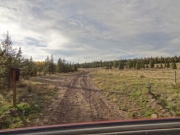
The trailhead was wide so there would be room to air down there in the future. We were already ready to go, so we continued past it without stopping. Thompson Park was a wide meadow, and it was pretty in the fading light.

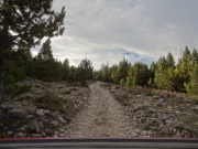
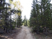
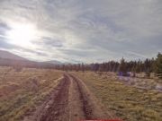
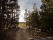
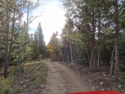
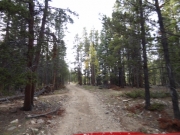
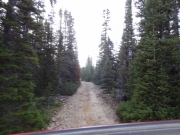
The trail soon turned into the trees, and honestly it was pretty boring. There was no scenery other than pine trees, and the trail was very flat and level. We hoped that the end result would make up for it, and we got lucky with that. The first section would make a good practice trail for new mountain bikers, and there was a decent and full campsite there in the trees.

The trail turned and we came out of the thick pine trees to find brush next to the trail instead. Mike had only owned his new Jeep for three months, so he wasn't happy about the new Rocky Mountain Pinstriping. When we came to a wider spot he pulled off of the trail to wait for us to go up and come back down. The rest of us didn't really care about our previously-scratched paint so we kept going through the brush.

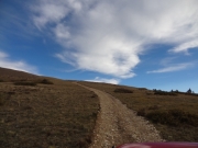
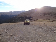
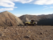
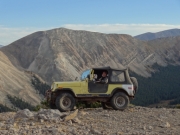
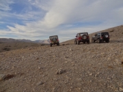
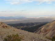
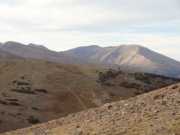
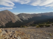
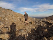
The rest of the scraping didn't last for long, and soon we were climbing up to the top of the peak. It was a short but pretty climb, and there was plenty of room to park and turn around at the top. It was definitely cold as the sun started to set, but we still took lots of pictures and enjoyed the views. You could see the county road below us, and we talked about possibly running out to the end of it when we got there.

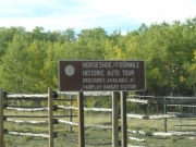
We eventually headed back down to find Mike still waiting for us, thankfully. It was a quick trip back through the trees. We took the Horseshoe spur out, and it was a pretty trip through aspens as we descended down to the county road. It looked like there were lots of campers there, but we didn't stay. We also decided not to do the rest of the county road, saving it for another time. We hoped to make it to Fairplay to have time for dinner.

We hustled back to town and got to the Brown Burro Cafe in time to eat. We called Bryan but they were in for the night, so it was just the four of us. We had a light dinner and then headed for home. It was a really great day of aspen viewing, and we were tired but content.
bumpy_climb
climb_above_timberline
cloudy
county_road_sign
early_signs
evergreens_and_aspens
follow_signs
follow_the_forest_road
forest_products_sign
formerly_muddy
gary_at_the_top_part_1
gary_at_the_top_part_2
gary_at_the_top_part_3
hill_climb
horseshoe_and_fourmile_auto_tour
meadow
mountains_in_the_distance
out_of_the_trees
parked_at_the_top
pavement_signs
private_property_sign
rutted
shaded
start_of_the_trail
tall_trees
trailhead_sign
view_from_the_top_part_1
view_from_the_top_part_2
view_from_the_top_part_3
view_from_the_top_part_4
walt_at_the_top
wooded
Join Us!
If you aren’t a Member or Subscriber, you can’t see all of the content on this site. Get membership information to see why this site is best when you join and log in

Information for Subscribers

When you log in you’ll see more information here:

  • Recent Community Forum posts
  • Recent polls
  • Upcoming Events you can attend
  • Links to online users

© 2000-2022 · TrailDamage.com · Terms and Conditions · About · Contact
Trail information is only accurate on the date posted. Trails may have changed or closed since that date. Use this information for historical purposes only.
Contact the Forest Service or Bureau of Land Management for up-to-date trail information.

/* ----------------------------------------- */ /* View slug: reports-other-reports-for-same-trail-slider - start */ /* ----------------------------------------- */ /* place the prev/next controls on the sides */ .td-transition-controls .wpv-filter-next-link, .td-transition-controls .wpv-filter-previous-link { border: none; font-size: 300%; position: absolute; top: 70px; } .td-transition-controls .wpv-filter-previous-link { left: 0; } .td-transition-controls .wpv-filter-next-link { right: 0; } /* center the page selector horizonatally */ .td-transition-controls ul.wpv_pagination_dots { text-align: center; margin-top: 10px; } /* center the page selector horizonatally */ .td-transition-controls ul.wpv_pagination_dots li.wpv_pagination_dots_item, .td-transition-controls .wpv_pagination_dots li a { display: inline-block; float: none; } /* remove the default styles */ .td-transition-controls .wpv_pagination_dots li a { text-decoration: none; border-bottom: none; } .td-slider-container { padding: 0 25px; margin-bottom: 20px; position: relative; width:100%; display:table; } .td-slides { position: relative; } .td-slides-image { float:left; display:table-cell; } .td-slides-image img { border:1px solid #c0c0c0; } .td-slides-content { padding:4px 4px 4px 10px; border-top:1px solid #c0c0c0; border-right:1px solid #c0c0c0; border-bottom:1px solid #c0c0c0; display:table-cell; height:227px; overflow:hidden; } .td-slides-content h3 { margin-top:8px; } .td-slides-leader { font-size:smaller; margin-top:4px; } /* ----------------------------------------- */ /* View slug: reports-other-reports-for-same-trail-slider - end */ /* ----------------------------------------- */
/* ----------------------------------------- */ /* Content Template: Template for a Single Report - start */ /* ----------------------------------------- */ .entry-header { display:none; } .entry-content h1 { margin-top:16px; padding-top:0; } h1 a { color:#222; } h1 a:hover { color:#666; } p.entry-meta { font-size:small; } #report-body-spacer { clear:both; width:100%; height:20px; } #addtoany-bar { margin-bottom:2em; text-align:center; } .category-reports .post-info .author, .post-info .date { display: none; } .addthis_recommended_horizontal { text-align:center !important; } /* ----------------------------------------- */ /* Content Template: Template for a Single Report - end */ /* ----------------------------------------- */ /* ----------------------------------------- */ /* Content Template: Loop item in REPORTS Runners - start */ /* ----------------------------------------- */ #runners-container { width:100%; clear:both; } .runner { border:1px solid #c0c0c0; margin:0 6px 6px 0; float:left; width:49%; height:81px; } .runner-image { float: left; } .runner-image img { margin:2px 10px 0 2px; height:75px; width:75px; } .runner-name { text-transform:uppercase; } .runner-name a { color:#222; } .runner-name a:hover { color:#666; } .runner-vehicle { font-size:small; } @media only screen and (max-width: 768px) { .runner { width:100%; } } /* ----------------------------------------- */ /* Content Template: Loop item in REPORTS Runners - end */ /* ----------------------------------------- */