TrailDamage.com

Photos, videos and information about 4x4 trails in Colorado and Utah

  • Trails
    • Colorado
    • Utah
  • Reports
    • Featured Photos
    • Featured Videos
    • Reports Calendar
  • Members
  • Search
  • Trail Damage Winners
  • FAQ
  • Community
  • Upcoming Events
  • Membership
  • Log In
  • Facebook
  • Instagram
  • RSS
  • Twitter
  • YouTube

Storm Drain 080614

June 14, 2008 by Monica

Storm Drain

Trail Run on June 14, 2008
Report and photos by Monica I., Trail Leader
View trail information for Storm Drain

Roger R.
Gray 2021 Jeep Wrangler Rubicon 4xe
Michael M.
Black 2006 Jeep Wrangler Unlimited Rubicon
Matt K.
White 2016 Jeep Wrangler Unlimited Rubicon
Don W.
Silver 2005 Jeep Wrangler Rubicon
Bob S.
Green 1997 Jeep Wrangler

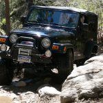
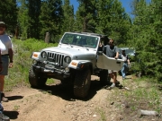
This trail is a very long, numbered spur road off of Storm Mountain. We figured we'd do some exploring and that's exactly what we did. It looked like there hadn't been a vehicle on the trail in a couple of years, at least, and it was definitely an adventure.

It started off as a regular forest service road, nice and wide and maintained. We took it to the intersection and headed up, but found that the trail soon ended at a gate. We turned around there.

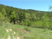
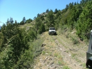
We headed down to the meadow, and that's where the trail first started looking like not many people were ever on it. It was two vehicle tracks that went through green grass, and there were no marks that people had strayed from the trail anywhere. We decided to keep going.

It wasn't long before we were driving through trees, with branches and bugs coming into our vehicles. We each found a spider or two, and it was a little annoying. But still, it was an adventure and an obvious trail, so we kept going.

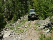
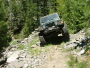
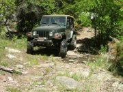
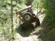
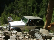
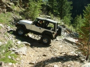
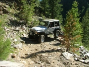
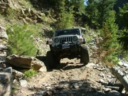
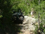
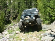
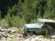
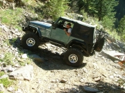
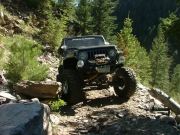
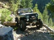
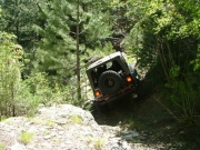
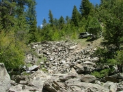
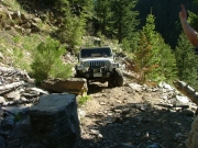
Sometimes the trail would get pretty tippy, especially if there was a rock in the trail. It was pretty narrow in spots, and often very close to the edge. It was switchback after switchback, and we often wondered if it would just quit on us.

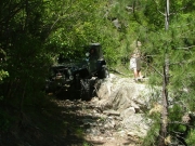
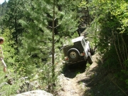
When we got to the ugly switchback, we wondered if it was too narrow. Don went through it first, and it was narrow but not too narrow. Turning through the switchback itself was a challenge, though, and took multiple-point turns. There was even a rock right after it that got us all tippy.

Just after that was the obstacle before the creek crossing, and that was challenging. You had to turn at the bottom, and it made things interesting to say the least!

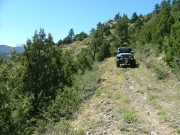
Just after the creek, there were no more trees in the trail. It was wide and nice as we crossed over to another mountain. Soon, we came out on the other side and we could see houses below us. On our GPS units, we could see that the trail went through.

Monica had run ahead to make sure we still had trail, and soon she ran up to say that it dead-ended. Everyone parked and we walked down. It was a good thing, because there was a tippy and narrow obstacle in a switchback between where the group was and where Monica was.

Once we got down to the dead end, it was obvious that people hadn't been on the other side in many, many years. The condition of the trail on the other side was much different. It was very overgrown.

We turned around and headed back up. Now that we knew we could do it and what to expect, the trip up was much faster than the trip down. We were up and out in no time, and we headed back down Storm Mountain. We weren't sure we'd do Storm Drain ever again, but we were all glad we were there for this adventure.


bob_in_trees
bob_on_the_overgrown_trail_part_1
bob_on_the_overgrown_trail_part_2
bob_on_the_trail
bob_really_tippy
dead_end_part_1
dead_end_part_2
don_on_the_trail
don_up_the_ugly_switchback_part_1
don_up_the_ugly_switchback_part_2
don_up_the_ugly_switchback_part_3
don_up_the_ugly_switchback_part_4
downed_tree
follow_this_sign
matt_at_the_creek_crossing_part_1
matt_at_the_creek_crossing_part_2
matt_on_the_overgrown_trail
matt_on_the_trail
matt_up_the_ugly_switchback_part_1
matt_up_the_ugly_switchback_part_2
matt_up_the_ugly_switchback_part_3
matt_up_the_ugly_switchback_part_4
meadow
michael_really_tippy
nice_views
roger_above_a_switchback
roger_in_trees
roger_on_the_trail
roger_up_the_ugly_switchback
see_for_miles
snowy_mountains
start_of_the_trail
through_trees
tight_trail
view_from_the_dead_end
Join Us!
If you aren’t a Member or Subscriber, you can’t see all of the content on this site. Get membership information to see why this site is best when you join and log in
Information for Subscribers

When you log in you’ll see more information here:

  • Recent Community Forum posts
  • Recent polls
  • Upcoming Events you can attend
  • Links to online users

© 2000-2023 · TrailDamage.com · Terms and Conditions · About · Contact
Trail information is only accurate on the date posted. Trails may have changed or closed since that date. Use this information for historical purposes only.
Contact the Forest Service or Bureau of Land Management for up-to-date trail information.

/* ----------------------------------------- */ /* View slug: reports-other-reports-for-same-trail-slider - start */ /* ----------------------------------------- */ /* place the prev/next controls on the sides */ .td-transition-controls .wpv-filter-next-link, .td-transition-controls .wpv-filter-previous-link { border: none; font-size: 300%; position: absolute; top: 70px; } .td-transition-controls .wpv-filter-previous-link { left: 0; } .td-transition-controls .wpv-filter-next-link { right: 0; } /* center the page selector horizonatally */ .td-transition-controls ul.wpv_pagination_dots { text-align: center; margin-top: 10px; } /* center the page selector horizonatally */ .td-transition-controls ul.wpv_pagination_dots li.wpv_pagination_dots_item, .td-transition-controls .wpv_pagination_dots li a { display: inline-block; float: none; } /* remove the default styles */ .td-transition-controls .wpv_pagination_dots li a { text-decoration: none; border-bottom: none; } .td-slider-container { padding: 0 25px; margin-bottom: 20px; position: relative; width:100%; display:table; } .td-slides { position: relative; } .td-slides-image { float:left; display:table-cell; } .td-slides-image img { border:1px solid #c0c0c0; } .td-slides-content { padding:4px 4px 4px 10px; border-top:1px solid #c0c0c0; border-right:1px solid #c0c0c0; border-bottom:1px solid #c0c0c0; display:table-cell; height:227px; overflow:hidden; } .td-slides-content h3 { margin-top:8px; } .td-slides-leader { font-size:smaller; margin-top:4px; } /* ----------------------------------------- */ /* View slug: reports-other-reports-for-same-trail-slider - end */ /* ----------------------------------------- */
/* ----------------------------------------- */ /* Content Template: Template for a Single Report - start */ /* ----------------------------------------- */ .entry-header { display:none; } .entry-content h1 { margin-top:16px; padding-top:0; } h1 a { color:#222; } h1 a:hover { color:#666; } p.entry-meta { font-size:small; } #report-body-spacer { clear:both; width:100%; height:20px; } #addtoany-bar { margin-bottom:2em; text-align:center; } .category-reports .post-info .author, .post-info .date { display: none; } .addthis_recommended_horizontal { text-align:center !important; } /* ----------------------------------------- */ /* Content Template: Template for a Single Report - end */ /* ----------------------------------------- */ /* ----------------------------------------- */ /* Content Template: Loop item in REPORTS Runners - start */ /* ----------------------------------------- */ #runners-container { width:100%; clear:both; } .runner { border:1px solid #c0c0c0; margin:0 6px 6px 0; float:left; width:49%; height:81px; } .runner-image { float: left; } .runner-image img { margin:2px 10px 0 2px; height:75px; width:75px; } .runner-name { text-transform:uppercase; } .runner-name a { color:#222; } .runner-name a:hover { color:#666; } .runner-vehicle { font-size:small; } @media only screen and (max-width: 768px) { .runner { width:100%; } } /* ----------------------------------------- */ /* Content Template: Loop item in REPORTS Runners - end */ /* ----------------------------------------- */