Stevens Canyon
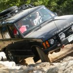

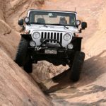
We finished the Colorado River Overlook trail and worked our way to Elephant Hill to continue the fun. We had plans to do that trail, Devil's Lane and the west end of Beef Basin in order to get to Elk Ridge and head south. But when we got to the trail Elephant Hill was closed. Apparently there had been an accident and the recovery was in progress. No one was hurt, thankfully, but it meant we had a decision to make.
There were lots of people waiting in the parking area. We assumed there were lots of people waiting to get off of the trail. It could be a quick thing but it would most likely be a traffic jam so after some discussion we changed our plans. We decided to go back out to the trailhead for Beef Basin and go in that way. It seemed wasteful to spend $10 to do only one trail in Canyonlands National Park but we'd rather wheel than wait.
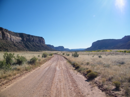
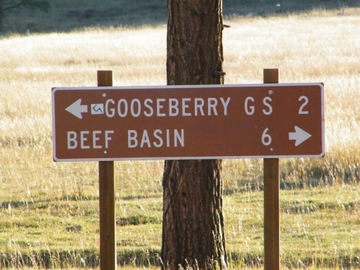
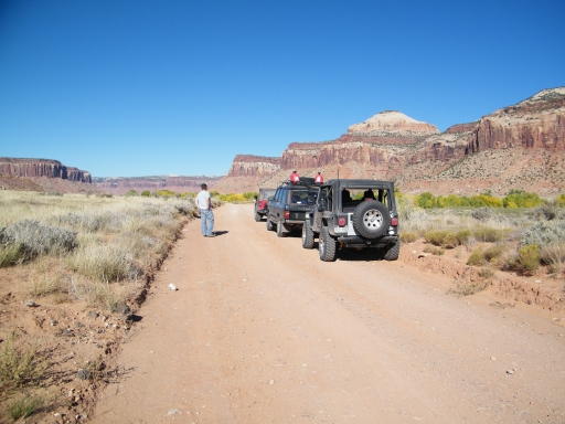
We drove back out all the way to Beef Basin and found lots of vehicles there. We didn't stop at the trailhead because we were ready to go. As we were driving the Beef Basin trail we changed plans again when we saw that Stevens Canyon was a big, developed trail at the trailhead. We would do a new trail instead and we left Beef Basin for Stevens Canyon.
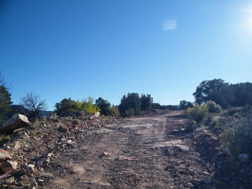
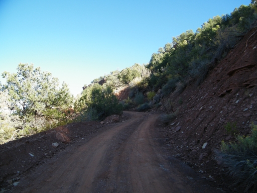
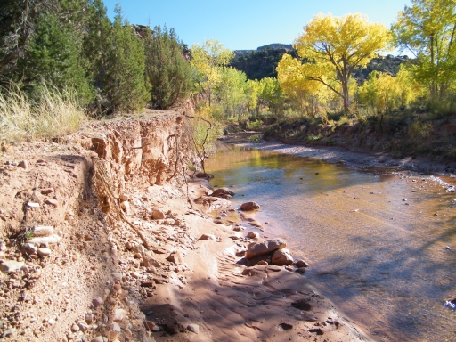
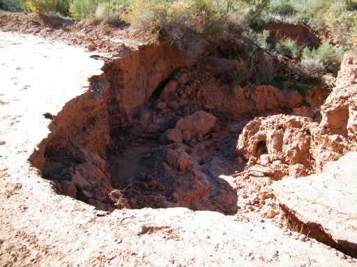
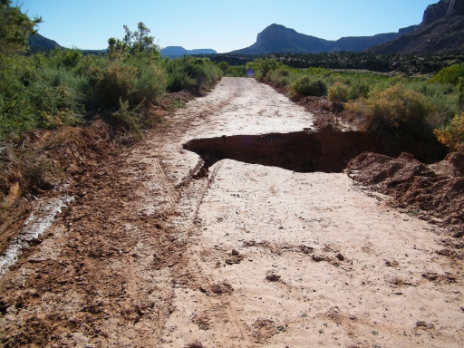
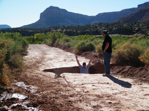
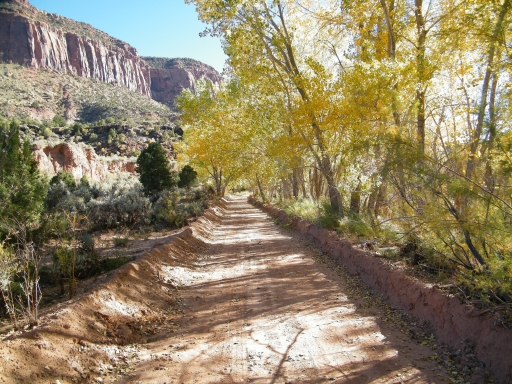
We were glad we did! The big sinkhole was an unwelcome surprise until we saw the trail diverted around it. We saw lots of examples of erosion on the trail but no one drove into anything.
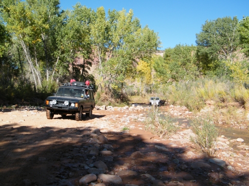
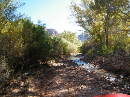
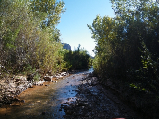
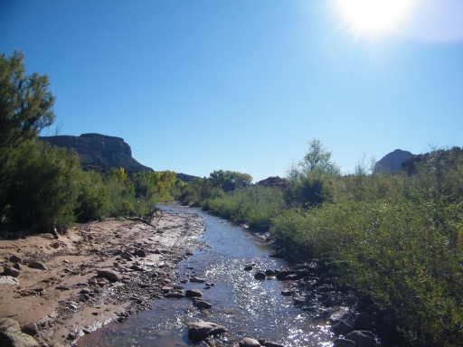
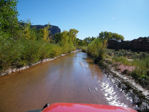
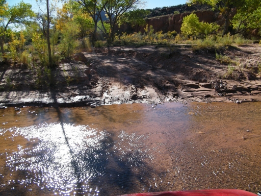
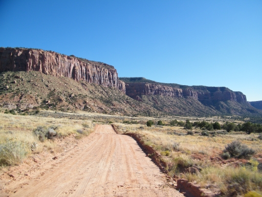
When we moved into the creek things got really fun. The trail was in the water for quite a while. It was never very deep and some of the rocks were pretty big. The sun was shining and it was really a gorgeous drive.
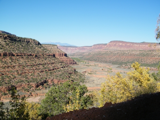
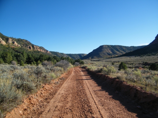
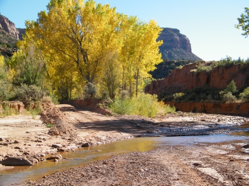
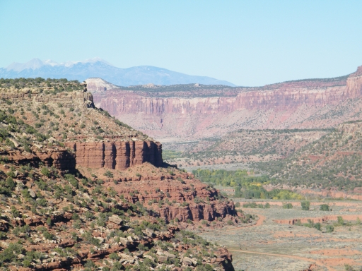
But all good things come to an end and soon we drove out of the water. It was still very scenic so we were happy. When we came to the connector trail to Beef Basin, Monica ran up it and back down just to map it and make sure it went all the way there. It did, and we talked about how it would be fun to do the first bit of Stevens Canyon just to do the creek and then pop back up to Beef Basin if that was the goal. It's a great option.
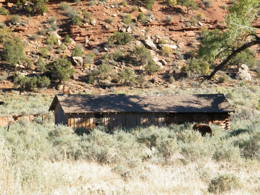
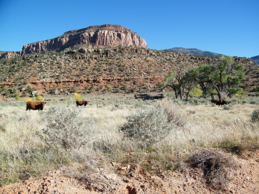
The trail was mellow except for trying to avoid the eroded parts. We came to a gate near a cabin and there were cows everywhere. We went through the gate and closed it and managed not to let any cows through.
There were cows here and there so we went slowly. We got to the "Y" intersection and there was big truck and horse trailer blocking the spur that continues to follow the creek. We'd have to check that out another time, and that was okay. We continued up the hill and into the trees.
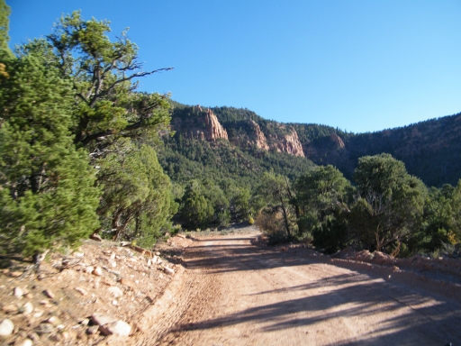
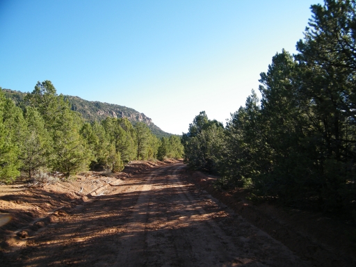
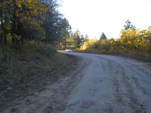
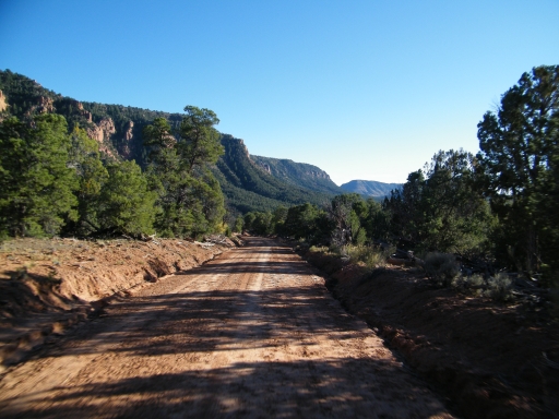
We were driving into the sun and it made visibility pretty tough at times. There were cows all over the place but we were going slowly. The drive through the trees was scenic in spots but mostly just shady and mellow.
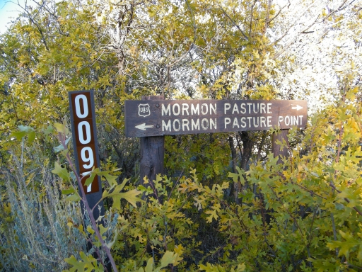
We popped out of the trees and into Mormon Pasture. We were glad to see it! Our first day there we saw signs pointing the way to the pasture, and we did the Mormon Pasture Mountain trail. We hadn't seen the actual pasture yet, though, so it was nice to finally be in it.
After crossing Mormon Pasture we made a right turn to keep on the trail. We stopped for a break at the intersection with the Mormon Pasture Point trail but decided to skip it this time. The day was fading away and we still had miles left to go.
We recognized the big intersections with The Causeway and Cottonwood Wash, of course, and it was all starting to come together. We went around Round Mountain and headed uphill, driving into the sun. We passed a truck on its way down and it was almost impossible to see in the glare. It was getting chillier as we climbed.
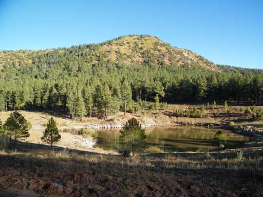
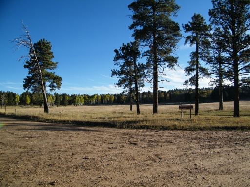
When we got to the end at Sego Flat we stopped for a long break. Monica washed her windshield and Hoa took pictures. It was definitely scenic in the big pine and aspen trees.
We were happy that Elephant Hill was closed. We ended up with a new, fun trail in the process. Good stuff!