Shrine Pass
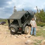
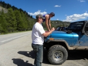
We met at the Starbucks in Dumont at 9AM and we were on the road by 9:15. It looked like we would be making good time, and we arrived at the trailhead at 10AM. We planned to meet two other vehicles at the parking area next to the start of Shrine Pass, and they pulled in at the same time we did. We aired down in the parking lot, at an altitude of 11,237 feet and a temperature of around 45 degrees, so it was a chilly start to the day. It wasn't long before we started the trail.
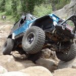
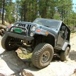
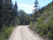
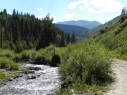
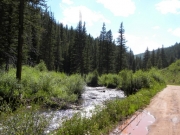
Shrine Pass is a dirt road with no real obstacles. Halfway down Shrine Pass is the Benson Cabin trail that we intended on doing. However, we accidentally drove past it and kept going down the Shrine Pass trail. Before we knew it we were at the beginning of the Lime Creek trail. That was also on our list of trails for the day, so we turned off and did that trail next.
After completing the Lime Creek trail we were back on Shrine Pass again. Two vehicles in our group left for home while the rest of us went back to do the Benson Cabin trail.
Benson Cabin didn't take long at all. We hadn't really planned on doing the entire Shrine Pass trail, but Bill one was one trail shy of 100 unique trails listed on his page on TrailDamage.com and if we finished Shrine Pass that would be his 100th trail. That was a good reason to finish the trail, so we headed towards Red Cliff. That meant we were soon at the far end of Shrine Pass and the end of a well-worn trail for us.
It wasn't long before we were on pavement in Red Cliff. After airing up and reconnecting we pointed our Jeeps towards the town of Minturn. Some Margaritas were waiting for us in Minturn, and they tasted good after a long day on the trails.
Reports from Other Days: 3
Use the arrows or dots to flip through the previews of the other reports for Shrine Pass. Click one of them to read more and see all of the photos from that day.
