
TrailDamage.com

Photos, videos and information about 4x4 trails in Colorado and Utah

  • Trails
    • Colorado
    • Utah
  • Reports
    • Featured Photos
    • Reports Calendar
  • Members
  • Search
  • FAQ
  • Community
  • Upcoming Events
  • Membership
  • Log In
  • Facebook
  • Instagram
  • RSS
  • Twitter
  • YouTube
  • Trails
    • Colorado
    • Utah
  • Reports
    • Featured Photos
    • Reports Calendar
  • Members
  • Search
  • FAQ
  • Community
  • Upcoming Events
  • Membership
  • Log In

Shields-McGee Loop 130601

June 1, 2013 by Monica

Shields-McGee Loop

Trail Run on June 1, 2013
Report and photos by Monica I., Trail Leader
View trail information for Shields-McGee Loop

Matt K.
White 2016 Jeep Wrangler Unlimited Rubicon
Mike S.
Silver 2004 Jeep Wrangler Rubicon
Monica I.
Red 2010 Jeep Wrangler Rubicon

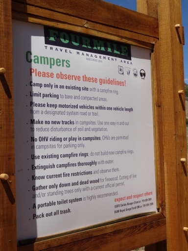
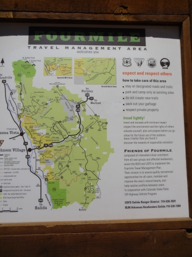
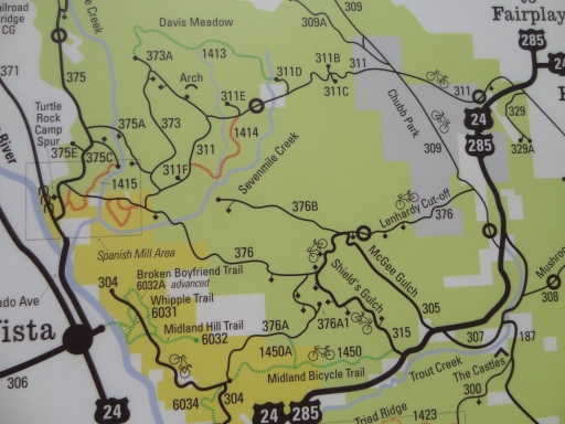
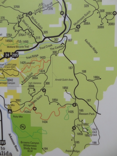
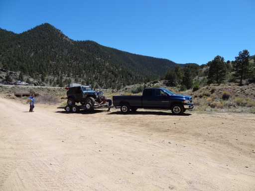
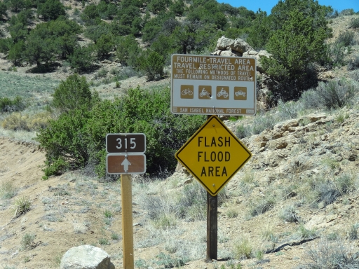
The Fourmile Area is a huge network of trails, but we'd only done Chinaman Gulch and walked Carnage Canyon. We had lots of the area left to explore, but it seemed we never had the time. With only three of us on the trail we finished Chinaman Gulch in record time, and we headed to do our first trail in the area north of the highway. Matt left his truck and trailer at the trailhead and we consulted the map at the kiosk there.

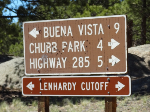
We saw the easy loop we were on so we decided to start with that. We'd travel up Shields Gulch and then down McGee Gulch using part of Lenhardy Cutoff to connect the two trails. It looked like a good loop and we started up the trail.

Lots of people were out. Mike guessed that all of the hikers we saw were in a race of some sort that invoved geocaching or a scavenger hunt. It looked like they were having a great time. There were also lots of people camping in almost all of the available spots.

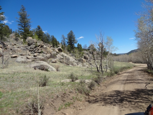
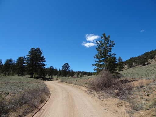
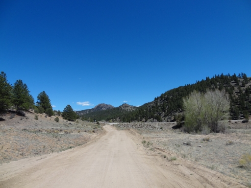
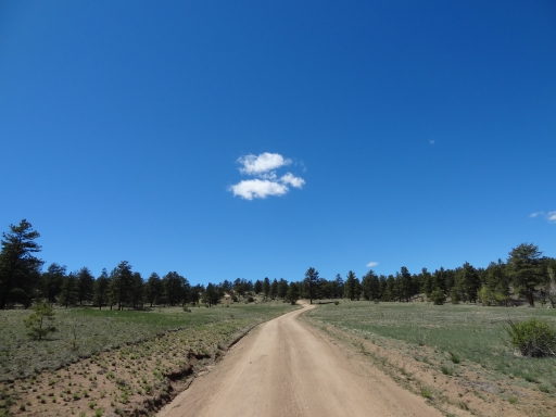
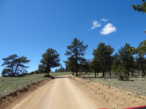
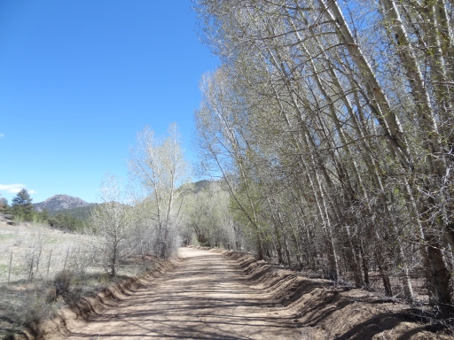
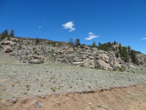
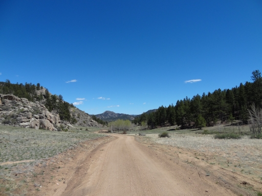
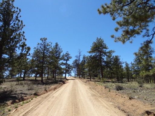
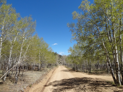
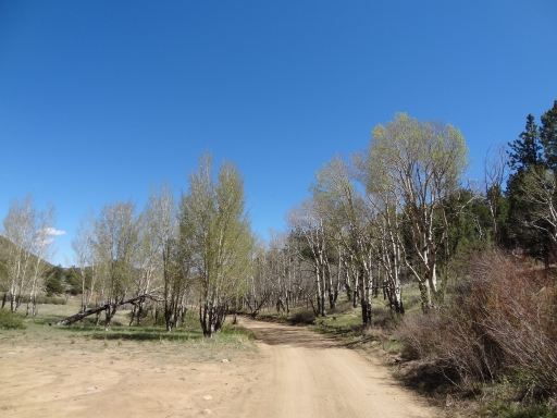
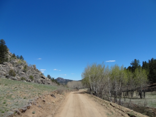
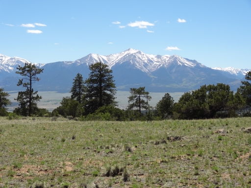
The first gulch was easy on a well-maintained trail. The second gulch seemed even easier on the way down. The scenery made the short trip well worth it. We would definitely recommend this loop to anyone with an SUV who wants to get off of the pavement without scratching their vehicle or getting stuck.

It wasn't long before we were done, though. We cut across the highway to the other side and took the roads on the south side of the highway for a bit. We'd need to explore those, too. The Castles -- a rock formation there -- were pretty impressive.

We soon found ourselves back on the pavement, and we headed north to check out the Sevenmile Creek trail. We hoped to make another big loop through the Fourmile Area. We were off to a great start.
aspens
collegiates
cool_rocks
curves
end_of_the_trail
kiosk
little_cloud
maintained_trail
map_part_1
map_part_2
map_part_3
matt_and_his_rig
mellow
protection
ridge
scenery
sign_at_the_far_end
sparse_trees
spring
start_of_the_trail
sun_and_shade
trailhead_signs
Join Us!
If you aren’t a Member or Subscriber, you can’t see all of the content on this site. Get membership information to see why this site is best when you join and log in

Information for Subscribers

When you log in you’ll see more information here:

  • Recent Community Forum posts
  • Recent polls
  • Upcoming Events you can attend
  • Links to online users

© 2000-2026 · TrailDamage.com · Terms and Conditions · About · Contact
Trail information is only accurate on the date posted. Trails may have changed or closed since that date. Use this information for historical purposes only.
Contact the Forest Service or Bureau of Land Management for up-to-date trail information.