TrailDamage.com

Photos, videos and information about 4x4 trails in Colorado and Utah

  • Trails
    • Colorado
    • Utah
  • Reports
    • Featured Photos
    • Featured Videos
    • Reports Calendar
  • Members
  • Search
  • Trail Damage Winners
  • FAQ
  • Community
  • Upcoming Events
  • Membership
  • Log In
  • Facebook
  • Instagram
  • RSS
  • Twitter
  • YouTube

Shafer Trail 081030

October 30, 2008 by Monica

Shafer Trail

Trail Run on October 30, 2008
Report and photos by Monica I., Trail Leader
View trail information for Shafer Trail

Michael M.
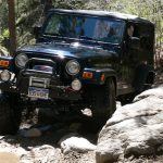
Black 2006 Jeep Wrangler Unlimited Rubicon
Roger R.
Gray 2021 Jeep Wrangler Rubicon 4xe
Monica I.
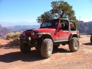
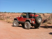
Red 2010 Jeep Wrangler Rubicon
Mike S.
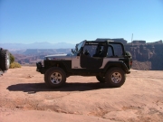
Silver 2004 Jeep Wrangler Rubicon
Jeffrey M.
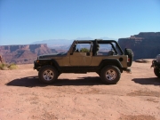
Khaki 2006 Jeep Wrangler Unlimited Rubicon

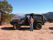
We planned a "tourist" day in the Island in the Sky district of Canyonlands National Park, and we were starting it off on the right foot with a good trail. We had perfect weather and we were looking forward to some classic Moab views.

We stopped at the petroglyphs on the highway and took pictures, of course. It was weird passing the entrance to Poison Spider Mesa, too. We rarely take the pavement past that point.

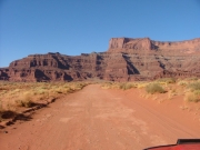
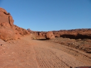
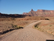
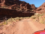
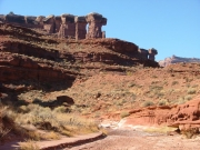
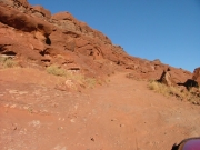
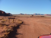
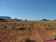
We aired down at the trailhead and started up while it was still a chilly morning. The first climbs were already fun as we worked our way up to the Potash ponds. The group spread out, trying to get out of the dust. It was a dusty trail almost the entire time.

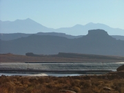
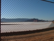
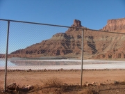
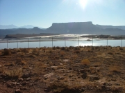
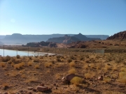
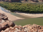
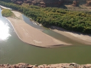
We all stopped to look at the Potash ponds from our vehicles. The salt floating in the water almost looked like little icebergs in a sea of blue and gray. They were pretty, in a way, and kind of weird.

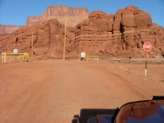
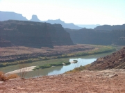
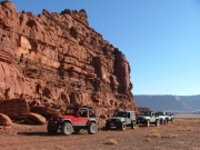
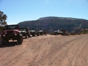
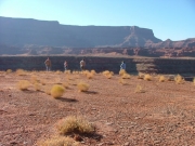
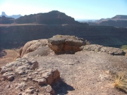
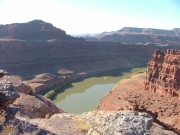
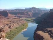
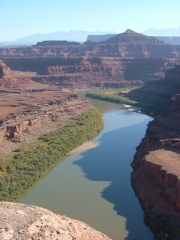
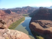
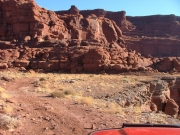
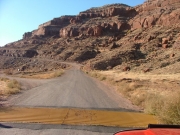
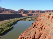
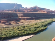
We took the road to the overlook, and it was pretty easy though it wasn't maintained like the main road. The views kept getting better and better, and soon we were at a big parking area near the cliff's edge. Everyone got out to enjoy the view, and we stayed quite awhile. We had all done Chicken Corners in the past, and it was cool to see that trail's overlook across the river.

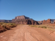
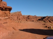
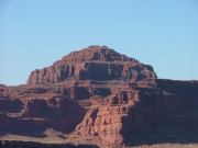
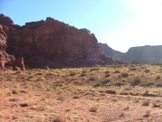
We headed back to the main trail and the scenery of Dead Horse Point State Park in front of us was unbeatable. Continuing on the main trail, we soon came to Thelma and Louise Point, where they filmed that famous scene. The scenery was almost identical to the scenery at the overlook but it was definitely worth the stop.

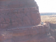
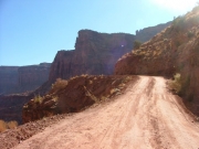
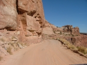
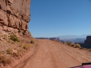
The road got a bit narrow next to a big drop-off later in the trail, which was pretty cool. Then we passed up the overlook at the Goose Neck because an RV was there already. It must have been an interesting trip to get there in an RV!

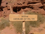
We soon passed into Canyonlands National Park and stopped at the first pit toilet for a break. It was really warming up nicely, without a cloud in the sky.

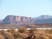
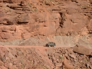
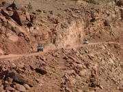
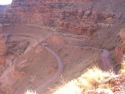
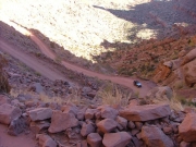
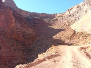
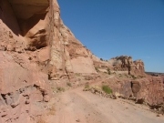
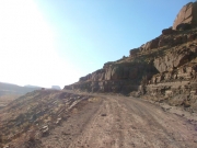
We got to the end of Shafer Trail and turned right to follow the end of the White Rim trail out on the Shafer Switchbacks. We kept getting closer to the canyon walls but we didn't see our way out until we were very close to them. It was pretty unbelievable that they cut a trail up the side of the cliff.

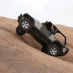
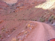
Going up the switchbacks was definitely a highlight of the whole trip. It was sunny and warm and we didn't see anyone on their way down as we were going up. It seemed pretty intimidating until you were actually on them, and then it wasn't too bad.

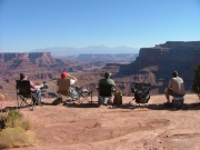
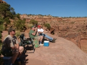
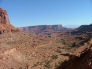
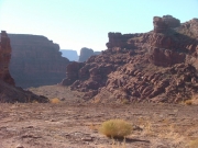
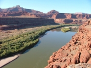
We stopped for lunch at the first pullout, and we were very glad that we did. We sat in a row at the edge and we were all mesmerized by the view. You could see our trail and the White Rim trail below us, and you could really see where the White Rim layer of rock was. It was absolutely gorgeous, and we didn't want to leave.

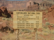
We did finally leave, of course, and we made our way out to the pavement. We paid our park entry fee at the Visitor Center where quite a few of us bought extra maps and books. Then we headed into Island in the Sky for some sightseeing and mild hiking.

It was a great way to start the day!
back_from_the_overlook
balancing_rock_part_1
balancing_rock_part_2
blue_sky
bumpy
canyonlands_national_park_sign_1
canyonlands_national_park_sign_2
canyonlands_national_park_sign_3
canyonlands_national_park_sign_4
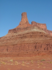
cool_towers
dead_horse_point_part_1
dead_horse_point_part_2
distant_bluffs
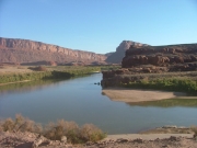
early_colorado_river_view
gentle_climb
go_straight_through
goose_neck
intersection_with_white_rim_trail
into_canyonlands_national_park
jackson_hole_bluff
jeeps_at_the_overlook
jeffrey_at_lunch
jeffrey_up_the_shafer_switchbacks
layers
lunch_part_1
lunch_part_2
lunch_part_3
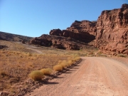
mellow_trail
michael_at_lunch
mike_and_roger_part_1
mike_and_roger_part_2
mike_at_lunch
mike_up_the_shafer_switchbacks_part_1
mike_up_the_shafer_switchbacks_part_2
moab_red
monica_at_lunch_part_1
monica_at_lunch_part_2
new_spires
potash_ponds_part_1
potash_ponds_part_2
potash_ponds_part_3
potash_ponds_part_4
pyramid_butte
red_climb
roger_around_a_bend_part_1
roger_around_a_bend_part_2
roger_at_lunch
roger_rock_climbing
shafer_switchbacks_part_1
shafer_switchbacks_part_2
shafer_switchbacks_part_3
shafer_switchbacks_part_4
shafer_switchbacks_part_5
shafer_switchbacks_part_6
shafer_switchbacks_part_7
shafer_trail_from_above
sign_1
sign_2
sign_3
signs
start_of_the_trail
the_edge_of_the_overlook
thelma_and_louise_point_part_1
thelma_and_louise_point_part_2
thelma_and_louise_point_part_3
thelma_and_louise_point_part_4
thelma_and_louise_point_part_5
thelma_and_louise_point_part_6
thelma_and_louise_point_part_7
to_the_overlook_part_1
to_the_overlook_part_2
to_the_overlook_part_3
trailhead
valley_view
view_from_the_overlook_part_1
view_from_the_overlook_part_2
view_from_the_overlook_part_3
view_from_the_overlook_part_4
view_from_the_overlook_part_5
Join Us!
If you aren’t a Member or Subscriber, you can’t see all of the content on this site. Get membership information to see why this site is best when you join and log in

Information for Subscribers

When you log in you’ll see more information here:

  • Recent Community Forum posts
  • Recent polls
  • Upcoming Events you can attend
  • Links to online users

© 2000-2022 · TrailDamage.com · Terms and Conditions · About · Contact
Trail information is only accurate on the date posted. Trails may have changed or closed since that date. Use this information for historical purposes only.
Contact the Forest Service or Bureau of Land Management for up-to-date trail information.

/* ----------------------------------------- */ /* View slug: reports-other-reports-for-same-trail-slider - start */ /* ----------------------------------------- */ /* place the prev/next controls on the sides */ .td-transition-controls .wpv-filter-next-link, .td-transition-controls .wpv-filter-previous-link { border: none; font-size: 300%; position: absolute; top: 70px; } .td-transition-controls .wpv-filter-previous-link { left: 0; } .td-transition-controls .wpv-filter-next-link { right: 0; } /* center the page selector horizonatally */ .td-transition-controls ul.wpv_pagination_dots { text-align: center; margin-top: 10px; } /* center the page selector horizonatally */ .td-transition-controls ul.wpv_pagination_dots li.wpv_pagination_dots_item, .td-transition-controls .wpv_pagination_dots li a { display: inline-block; float: none; } /* remove the default styles */ .td-transition-controls .wpv_pagination_dots li a { text-decoration: none; border-bottom: none; } .td-slider-container { padding: 0 25px; margin-bottom: 20px; position: relative; width:100%; display:table; } .td-slides { position: relative; } .td-slides-image { float:left; display:table-cell; } .td-slides-image img { border:1px solid #c0c0c0; } .td-slides-content { padding:4px 4px 4px 10px; border-top:1px solid #c0c0c0; border-right:1px solid #c0c0c0; border-bottom:1px solid #c0c0c0; display:table-cell; height:227px; overflow:hidden; } .td-slides-content h3 { margin-top:8px; } .td-slides-leader { font-size:smaller; margin-top:4px; } /* ----------------------------------------- */ /* View slug: reports-other-reports-for-same-trail-slider - end */ /* ----------------------------------------- */
/* ----------------------------------------- */ /* Content Template: Template for a Single Report - start */ /* ----------------------------------------- */ .entry-header { display:none; } .entry-content h1 { margin-top:16px; padding-top:0; } h1 a { color:#222; } h1 a:hover { color:#666; } p.entry-meta { font-size:small; } #report-body-spacer { clear:both; width:100%; height:20px; } #addtoany-bar { margin-bottom:2em; text-align:center; } .category-reports .post-info .author, .post-info .date { display: none; } .addthis_recommended_horizontal { text-align:center !important; } /* ----------------------------------------- */ /* Content Template: Template for a Single Report - end */ /* ----------------------------------------- */ /* ----------------------------------------- */ /* Content Template: Loop item in REPORTS Runners - start */ /* ----------------------------------------- */ #runners-container { width:100%; clear:both; } .runner { border:1px solid #c0c0c0; margin:0 6px 6px 0; float:left; width:49%; height:81px; } .runner-image { float: left; } .runner-image img { margin:2px 10px 0 2px; height:75px; width:75px; } .runner-name { text-transform:uppercase; } .runner-name a { color:#222; } .runner-name a:hover { color:#666; } .runner-vehicle { font-size:small; } @media only screen and (max-width: 768px) { .runner { width:100%; } } /* ----------------------------------------- */ /* Content Template: Loop item in REPORTS Runners - end */ /* ----------------------------------------- */