Sagers Canyon
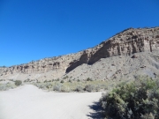
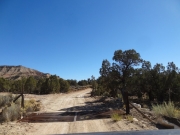
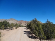
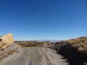
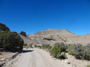
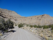
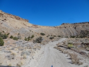
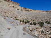
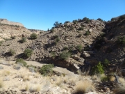
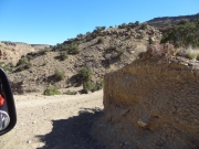
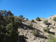
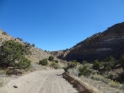
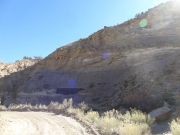
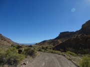
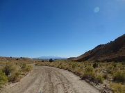
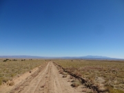
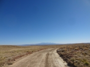
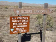
We saw the trailhead for Sagers Canyon when we were on our way to Sego, and on our way back out we decided to see where it went. Maps showed it followed the Book Cliffs until heading down into Sagers Canyon, and that looked like a nice drive.
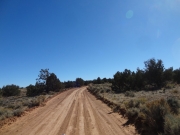
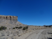
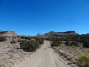
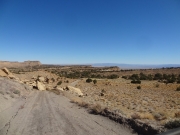
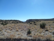
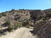
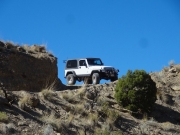
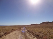
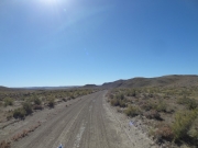
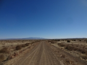
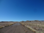
The Book Cliffs have roads at their edge that look over I-70, and this side was a lot like the Book Cliffs trail on the other side of Sego. It felt really remote, which was kind of nice. We saw a spur that would go to the edge, but decided to skip it for next time.
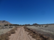
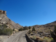
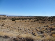
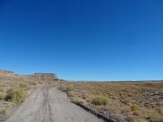
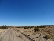
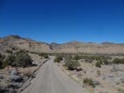
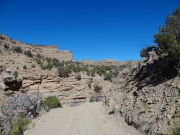
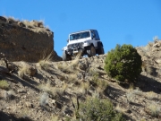
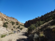
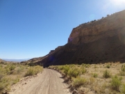
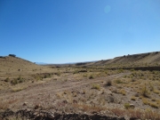
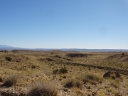
The trail had been pretty level, but then it suddenly went down a dirt hill and into the canyon. It was nice down in the wash, and then it came out onto the flats.
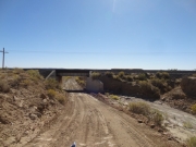
We came to an intersection and made a wild guess about which way to turn. We ended up picking the right way, and soon ended up going under the railroad tracks to the frontage road. We turned to go back to Thompson Springs.
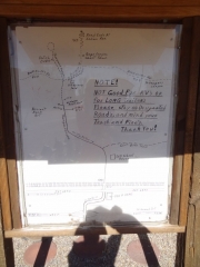
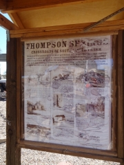
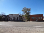
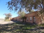
We stopped at an old hotel that was for sale, straight out of 1950. It was kind of sad to see it in such a state of disrepair, but cool that no one had torn it down. We stopped at the city park, barely more than a parking lot, and looked at the hand-drawn map. Thompson Springs is pretty quaint.
We were going to head straight back to Moab, but decided to check out Salt Valley on our way back. We crossed the highway and headed back into the desert.


