Rollins Pass West
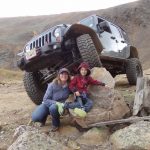
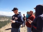
The summer was ending with a bang, and other parts of Colorado were seeing their first snow of this winter. We were lucky and it didn't snow where we were, but it was very cold and windy at the end of the trail. The skies were sunny, though, and we all wore every jacket we brought with us so we had a great time.
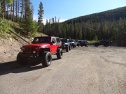
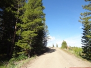
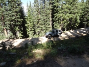
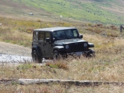
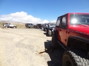
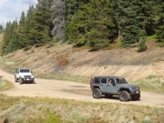
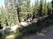
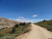
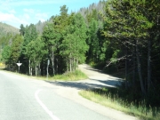
We aired down at the driveway of a business that was closed, so we didn't clog up the beginning of the trail this time. It worked out well, and we drove right to the trail and headed up. We had a long line of vehicles, and we'd see quite a few more on the way up and down.
It was a quick trip to the intersection with Waterboard Road, where we kept going. For the first time, we planned on mapping that trail when we were done on Rollins Pass West. We'd come out the southern part before, but the northern part was a mystery.
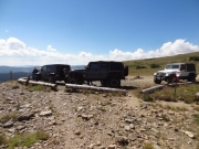
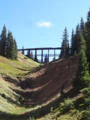
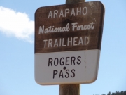
The weather was still nice and not too chilly when we stopped at the Riflesight Notch Trestle. Lots of other vehicles, ATVs, and dirtbikes were parked there but we found room. We hung out for a while just checking things out. We never noticed that this was Rogers Pass, though Roger pointed it out. Cool!
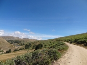
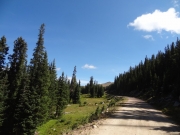
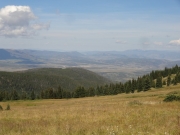
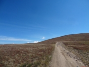
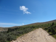
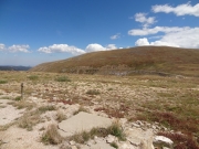
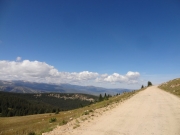
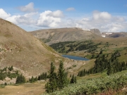
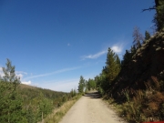
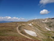
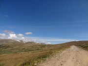
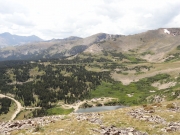
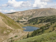
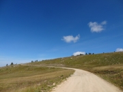
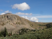
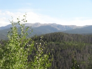
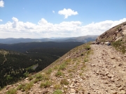
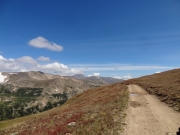
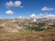
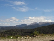
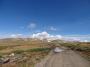
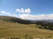
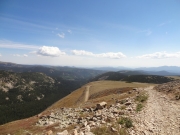
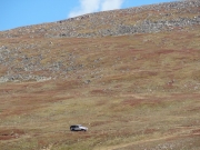
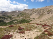
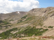
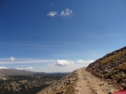
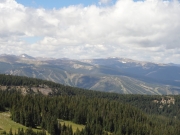
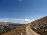
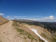
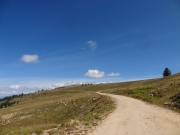
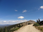
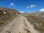
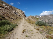
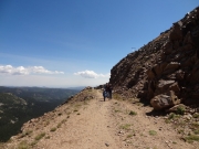
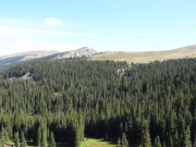
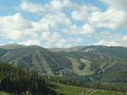
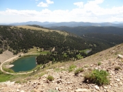
After that first trestle, the trail comes out of the trees and gets very scenic as it climbs above timberline. The lakes at the base of Mount Epworth are always so scenic, and we always say we're going to take the time to hike to them someday. It wasn't going to be that day, though, so we kept going.
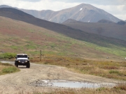
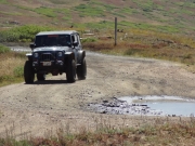
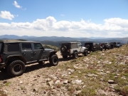
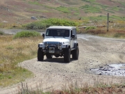
When we got to Boulder Wagon Road, we barely slowed down at the big mud puddle that is always there. We kept going, right up the hill, in a big line. As we climbed, we looked down at the parking areas to see a lot of cars parked there. When we came over the top, we were happy to find we were the other vehicles on the other side. We saw lots of bicycles and hikers, but no vehicles on that side.
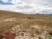
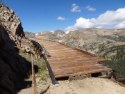
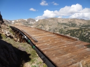
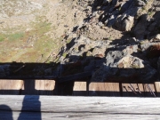
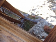
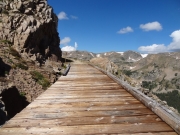
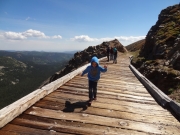
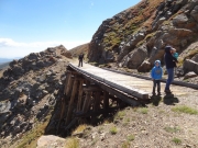
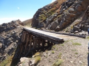
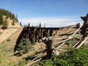
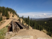
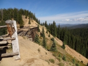
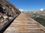
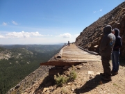
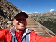
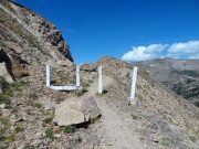
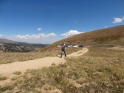
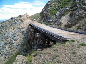
It was a bit before lunch so we parked, put on all of our jackets, and walked out to the trestles. They're still there, and still in great shape. We couldn't take enough pictures. The blue sky, gorgeous mountains, and patches of snow were very scenic next to the old trestles.
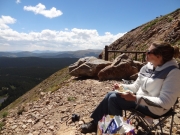
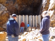
We didn't walk any farther than the other side of the Straight Trestle, turning around after we'd taken enough pictures. We soon were back at the vehicles, where we drove a bit closer to the Needle Eye Tunnel. Then we walked our chairs and other lunch things up to the gate where we had a very scenic lunch. Lots of people were down at Yankee Doodle Lake, and it's always a good time to watch the activity. It's so close, but so far away.
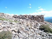
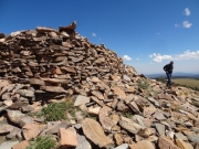
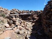
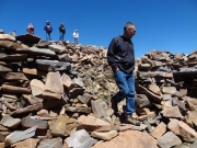
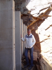
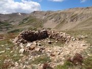
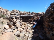
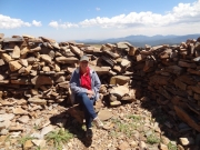
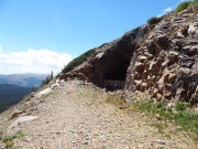
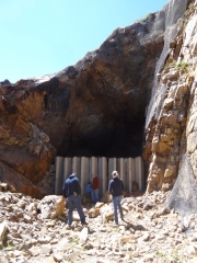
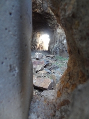
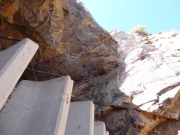
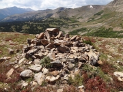
After lunch, we walked over to the Needle Eye Tunnel to check it out. No one climbed inside, and we didn't stay too long. Then we walked back to the vehicles and up to the top along that hiking trail. It was really windy up there above the tunnel, and we huddled inside the Rock House to get a break from it. We could see people at Jenny Lake and walking along the closed part of Rollins Pass East. Everyone was out enjoying the day, it seemed.
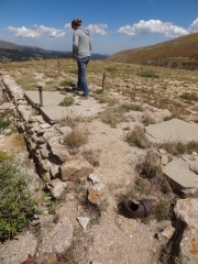
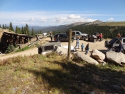
After we had our fill we walked back to the vehicles and then drove up and over Boulder Wagon Road to the parking area on the other side. There were barely enough parking spaces, and there were people and mountain bikes just about everywhere. Some people were even packing up snowboards. We walked out to the old hotel, exploring the grounds and marveling at how tough people used to be.
It was a bit of a parade on the way down, but the slower vehicles would always let us by them. When we got back to the intersection with Waterboard Road, we headed down that quick road to take a break at the Fraser River Diversion Dam. David decided to head for home, so he stayed there to air up while the rest of us headed back up to do the rest of the new trail. Is there anything better than Rollins Pass West?
Reports from Other Days: 3
Use the arrows or dots to flip through the previews of the other reports for Rollins Pass West. Click one of them to read more and see all of the photos from that day.
