TrailDamage.com

Photos, videos and information about 4x4 trails in Colorado and Utah

  • Trails
    • Colorado
    • Utah
  • Reports
    • Featured Photos
    • Featured Videos
    • Reports Calendar
  • Members
  • Search
  • Trail Damage Winners
  • FAQ
  • Community
  • Upcoming Events
  • Membership
  • Log In
  • Facebook
  • Instagram
  • RSS
  • Twitter
  • YouTube

Red And White Mountain 070722

July 22, 2007 by Monica

Red and White Mountain

Trail Run on July 22, 2007
Report and photos by Monica I., Trail Leader
View trail information for Red and White Mountain

Mike S.
Silver 2004 Jeep Wrangler Rubicon
Bill S.
Khaki 2004 Jeep Wrangler Rubicon
Monica I.
Red 2010 Jeep Wrangler Rubicon
Don W.
Silver 2005 Jeep Wrangler Rubicon

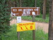
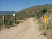
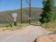
We ran this trail on the way home from a busy weekend in Eagle County. We were exhausted after a long Saturday, but we were still ready for more on Sunday. Finding the trailhead proved to be difficult due to bad GPS routing, but we eventually found it and headed down the trail.

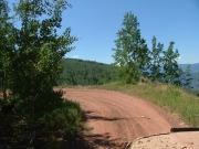
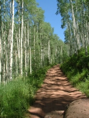
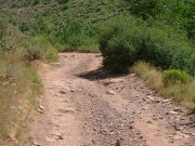
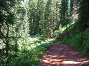
It was extremely dusty, right from the start. Everyone spread out, trying to breathe through the dirt in the air. It was toasty, too. We saw a few joggers and people out walking their dogs. The trail was very close to a residential area.

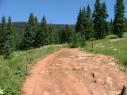
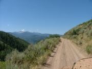
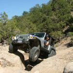
We started heading up the switchbacks and passed our first vehicle. When we got to where the trail was very narrow we came across two big trucks coming down. We managed to get around one of them in a wider spot, but the second one had to back up a long way before finding a spot he could use to let us around. It was definitely difficult to pass, and we hoped it was the last time we'd have to do it.

We climbed the switchbacks and we kept getting higher and higher in elevation. The weather cooled off considerably as we climbed. We came up to a huge converted Hummer holding a big tour group, and they pulled off to let us by. We kept seeing people on this trail.

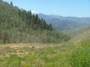
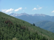
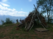
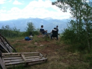
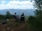
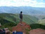
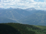
We got to the spur for the overlook and took it. The hill to it was dusty again, but it was worth it. The views were amazing! We talked to some dirt bikers who were off trail and asked them to stay on the trail, and then we set up for lunch. It was another fantastic lunch, though the flies were pretty thick. We enjoyed the views of the ski areas and the town below us.

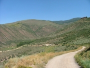
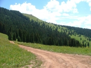
We continued on the trail, passing along the middle of Red and White Mountain. You don't get anywhere near the top, but the views from where we were were spectacular.

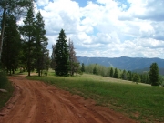
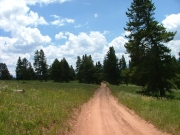
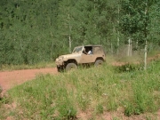
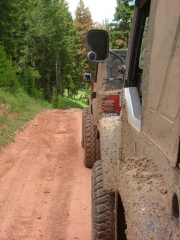
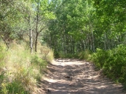
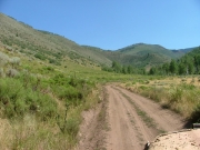
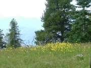
We passed through trees, then out into meadows. We enjoyed chatting on the CB as we went, noting that there was hardly any mud. We'd had enough mud for one weekend.

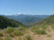
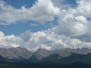
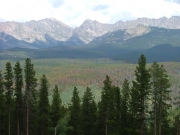
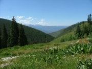
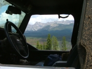
We came to a spot in the trail where we could see the Gore Mountain Range, so we got out to stretch our legs and take pictures. It really was an amazing view.

The trail meandered through trees some more, and soon we were at the end. We accidentally turned left at first, heading for Piney Lake. We realized it right away and turned around, heading south and into Vail.

We headed through Vail and under the highway to the other side of town to do Mill Creek Road. It was already a great day of wheeling.

around_a_corner
big_view
blue_skies
bumpy
climbing
don_on_the_trail
dusty_trail
early_view
gore_mountain_range
jeeps_on_the_early_trail
mountain_view
muddy_jeeps
narrow_trail
nearly_smooth
overlook_part_1
overlook_part_2
overlook_part_3
overlook_part_4
overlook_part_5
overlook_part_6
pine_trees
shady
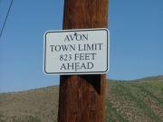
sign_at_the_eastern_end
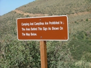
sign_at_trailhead_1
sign_at_trailhead_2
sign_at_trailhead_3
small_stream
smooth_trail
start_of_the_trail
stripped_truck
through_aspens
through_the_valley_at_the_start
trail_ahead_of_us
trailhead_gate_part_1
trailhead_gate_part_2
trailhead
valley_view
view_through_a_window
wild_flowers
Join Us!
If you aren’t a Member or Subscriber, you can’t see all of the content on this site. Get membership information to see why this site is best when you join and log in
Information for Subscribers

When you log in you’ll see more information here:

  • Recent Community Forum posts
  • Recent polls
  • Upcoming Events you can attend
  • Links to online users

© 2000-2021 · TrailDamage.com · Terms and Conditions · About · Contact
Trail information is only accurate on the date posted. Trails may have changed or closed since that date. Use this information for historical purposes only.
Contact the Forest Service or Bureau of Land Management for up-to-date trail information.

/* ----------------------------------------- */ /* View slug: reports-other-reports-for-same-trail-slider - start */ /* ----------------------------------------- */ /* place the prev/next controls on the sides */ .td-transition-controls .wpv-filter-next-link, .td-transition-controls .wpv-filter-previous-link { border: none; font-size: 300%; position: absolute; top: 70px; } .td-transition-controls .wpv-filter-previous-link { left: 0; } .td-transition-controls .wpv-filter-next-link { right: 0; } /* center the page selector horizonatally */ .td-transition-controls ul.wpv_pagination_dots { text-align: center; margin-top: 10px; } /* center the page selector horizonatally */ .td-transition-controls ul.wpv_pagination_dots li.wpv_pagination_dots_item, .td-transition-controls .wpv_pagination_dots li a { display: inline-block; float: none; } /* remove the default styles */ .td-transition-controls .wpv_pagination_dots li a { text-decoration: none; border-bottom: none; } .td-slider-container { padding: 0 25px; margin-bottom: 20px; position: relative; width:100%; display:table; } .td-slides { position: relative; } .td-slides-image { float:left; display:table-cell; } .td-slides-image img { border:1px solid #c0c0c0; } .td-slides-content { padding:4px 4px 4px 10px; border-top:1px solid #c0c0c0; border-right:1px solid #c0c0c0; border-bottom:1px solid #c0c0c0; display:table-cell; height:227px; overflow:hidden; } .td-slides-content h3 { margin-top:8px; } .td-slides-leader { font-size:smaller; margin-top:4px; } /* ----------------------------------------- */ /* View slug: reports-other-reports-for-same-trail-slider - end */ /* ----------------------------------------- */
/* ----------------------------------------- */ /* Content Template: Template for a Single Report - start */ /* ----------------------------------------- */ .entry-header { display:none; } .entry-content h1 { margin-top:16px; padding-top:0; } h1 a { color:#222; } h1 a:hover { color:#666; } p.entry-meta { font-size:small; } #report-body-spacer { clear:both; width:100%; height:20px; } #addtoany-bar { margin-bottom:2em; text-align:center; } .category-reports .post-info .author, .post-info .date { display: none; } .addthis_recommended_horizontal { text-align:center !important; } /* ----------------------------------------- */ /* Content Template: Template for a Single Report - end */ /* ----------------------------------------- */ /* ----------------------------------------- */ /* Content Template: Loop item in REPORTS Runners - start */ /* ----------------------------------------- */ #runners-container { width:100%; clear:both; } .runner { border:1px solid #c0c0c0; margin:0 6px 6px 0; float:left; width:49%; height:81px; } .runner-image { float: left; } .runner-image img { margin:2px 10px 0 2px; height:75px; width:75px; } .runner-name { text-transform:uppercase; } .runner-name a { color:#222; } .runner-name a:hover { color:#666; } .runner-vehicle { font-size:small; } @media only screen and (max-width: 768px) { .runner { width:100%; } } /* ----------------------------------------- */ /* Content Template: Loop item in REPORTS Runners - end */ /* ----------------------------------------- */