TrailDamage.com

Photos, videos and information about 4x4 trails in Colorado and Utah

  • Trails
    • Colorado
    • Utah
  • Reports
    • Featured Photos
    • Featured Videos
    • Reports Calendar
  • Members
  • Search
  • Trail Damage Winners
  • FAQ
  • Community
  • Upcoming Events
  • Membership
  • Log In
  • Facebook
  • Instagram
  • RSS
  • Twitter
  • YouTube

Ray’s Trail 161016

October 16, 2016 by Monica

Ray’s Trail

Trail Run on October 16, 2016
Report and photos by Monica I., Trail Leader
View trail information for Ray’s Trail

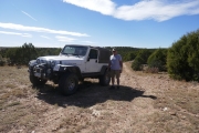
Roger R.
White 2005 Jeep Wrangler Unlimited Rubicon
Monica I.
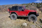
Red 2010 Jeep Wrangler Rubicon
Walt S.
Gray 2018 Jeep Wrangler Unlimited Rubicon
Julie M.
Green 2012 Jeep Wrangler Unlimited Rubicon

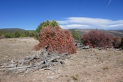
We came off of Big Bucktail Creek and Ray's Spur, earning some new scrapes and scratches in the process. We also knew that Ray's Trail was much longer, and it headed into scrub oak. Were we headed into a long trip with more scrapes? We didn't know, but we had to see what we could see. We headed from Houser Road with Old Highway 90 as the goal.

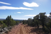
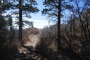
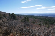
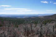
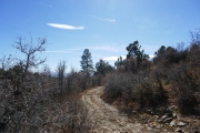
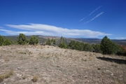
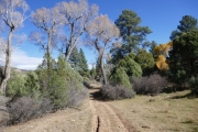
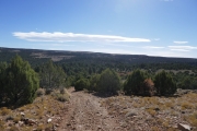
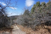
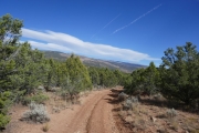
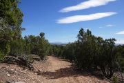
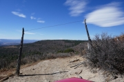
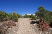
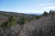
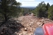
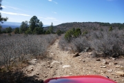
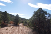
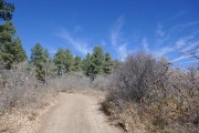
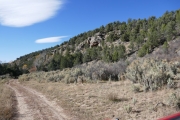
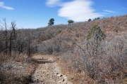
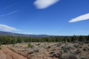
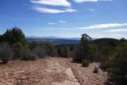
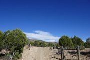
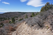
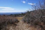
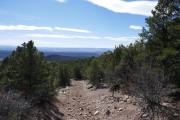
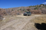
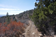
Ray's Trail ended up being fun right away as we cruised down off of the flat mesa where Houser Road was. It was rocky and steep. We passed through a fence at a gate with wire high above the trail, and the views were amazing. There wasn't anywhere to pull off, though, so we snapped pictures from our vehicles and moved on.

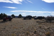
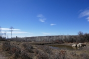
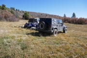
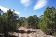
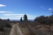
The trail continued its steep decent in the scrub oak, and then it just popped out into a meadow where it leveled off. We had a feeling that we wouldn't find too many wide spots and it was about noon, so we stopped there for lunch. It was windy, so we set up our chairs on the downwind side of a Jeep to get out of it.

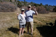
Monica, Roger, and Mike all packed one emergency pair of shorts each, just in case the weather cooperated. It was nice the whole week, so we wore our shorts each day. Mike had to leave us that morning, so Roger and Monica were on Day 3 for shorts. Classy!

We stayed there for a while just enjoying the day. But we knew we had some miles to go, so we soon packed up to go. We drove by the Blue Mud Spring trail, hoping we'd have time to see that one, too. The trails were more overgrown and challenging than we'd expected, though, so we didn't get a chance to do that one.

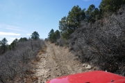
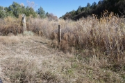
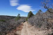
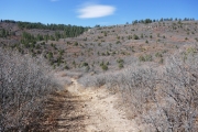
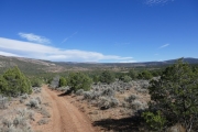
The trail mostly headed downhill, and there were some fun sections of loose rocks and small ledges. We came up to a fence with lots of cows on the other side, and it was a fun and new challenge to keep them over there while we passed through, closing the gate behind us. We were successful at keeping them to their correct side of the fence.

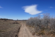
There were other gates and lots of other cows as we got closer to Old Highway 90. The trail went from weaving to heading straight south along a fence, and then we saw lots of tracks in front of us. We were back with the cows.

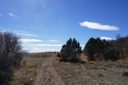
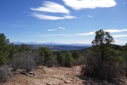
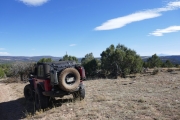
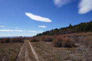
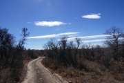
The trail turned east and we came to a wide spot. We stopped to stretch our legs and take pictures of the weird clouds. We also had a discussion about the rest of our day. We were feeling pretty beat up from all of the scrub oak and bumping, but we still had a few hours of daylight left.

We got to the big intersection with Telephone Draw, and we had another talk. We had two options for getting back up to Houser Road on a new trail. We could take Telephone Draw up, but we knew it would go through the same type of terrain as Ray's Trail. Tight and narrow climbs could eat up the rest of our day pretty easily. Instead, we decided to check out Cottonwood Trail because it was a bit farther east. We hoped it would be a faster way up to Houser Road.

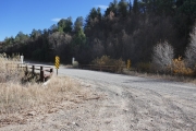
When we got back to Old Highway 90, Julie decided she'd had enough for one day. She was heading back to Denver in the morning, so she wanted to get some rest. We didn't know what the other trail would be like, but the rest of us were staying another day. Julie headed back while the rest of us went over to Cottonwood Trail.
along_a_fence
between_trees
big_view_part_1
big_view_part_2
big_view_part_3
break_time
bumpy
climb
cloud_puff
clouds
cool_cloud
cow_pond
curious_cows
deadwood
different_trees
down_into_the_valley
downhill
fairly_mellow
forest
gate_of_sorts
gate
hiking
jeep_view
little_hill
lone_cone
loose_rocks
losing_elevation
low_brush
lunch_out_of_the_wind
meadow
monica_and_lone_cone
monica_parked
more_tracks
northern_end
old_highway_90_bridge_at_trailhead
open_space
remnant
ridge
rocky_descent
roger_parked
scraggley
see_for_miles
short_pines
shorts_day_3
slashed_clouds
sliding_descent
southern_end
steep
through_a_fence_gate
tippy
to_the_meadow
trail_617
trail_661
trail_marker
trail_with_a_view
valley
views_ahead
walt_parked
waves_of_trail
Join Us!
If you aren’t a Member or Subscriber, you can’t see all of the content on this site. Get membership information to see why this site is best when you join and log in
Information for Subscribers

When you log in you’ll see more information here:

  • Recent Community Forum posts
  • Recent polls
  • Upcoming Events you can attend
  • Links to online users

© 2000-2021 · TrailDamage.com · Terms and Conditions · About · Contact
Trail information is only accurate on the date posted. Trails may have changed or closed since that date. Use this information for historical purposes only.
Contact the Forest Service or Bureau of Land Management for up-to-date trail information.

/* ----------------------------------------- */ /* View slug: reports-other-reports-for-same-trail-slider - start */ /* ----------------------------------------- */ /* place the prev/next controls on the sides */ .td-transition-controls .wpv-filter-next-link, .td-transition-controls .wpv-filter-previous-link { border: none; font-size: 300%; position: absolute; top: 70px; } .td-transition-controls .wpv-filter-previous-link { left: 0; } .td-transition-controls .wpv-filter-next-link { right: 0; } /* center the page selector horizonatally */ .td-transition-controls ul.wpv_pagination_dots { text-align: center; margin-top: 10px; } /* center the page selector horizonatally */ .td-transition-controls ul.wpv_pagination_dots li.wpv_pagination_dots_item, .td-transition-controls .wpv_pagination_dots li a { display: inline-block; float: none; } /* remove the default styles */ .td-transition-controls .wpv_pagination_dots li a { text-decoration: none; border-bottom: none; } .td-slider-container { padding: 0 25px; margin-bottom: 20px; position: relative; width:100%; display:table; } .td-slides { position: relative; } .td-slides-image { float:left; display:table-cell; } .td-slides-image img { border:1px solid #c0c0c0; } .td-slides-content { padding:4px 4px 4px 10px; border-top:1px solid #c0c0c0; border-right:1px solid #c0c0c0; border-bottom:1px solid #c0c0c0; display:table-cell; height:227px; overflow:hidden; } .td-slides-content h3 { margin-top:8px; } .td-slides-leader { font-size:smaller; margin-top:4px; } /* ----------------------------------------- */ /* View slug: reports-other-reports-for-same-trail-slider - end */ /* ----------------------------------------- */
/* ----------------------------------------- */ /* Content Template: Template for a Single Report - start */ /* ----------------------------------------- */ .entry-header { display:none; } .entry-content h1 { margin-top:16px; padding-top:0; } h1 a { color:#222; } h1 a:hover { color:#666; } p.entry-meta { font-size:small; } #report-body-spacer { clear:both; width:100%; height:20px; } #addtoany-bar { margin-bottom:2em; text-align:center; } .category-reports .post-info .author, .post-info .date { display: none; } .addthis_recommended_horizontal { text-align:center !important; } /* ----------------------------------------- */ /* Content Template: Template for a Single Report - end */ /* ----------------------------------------- */ /* ----------------------------------------- */ /* Content Template: Loop item in REPORTS Runners - start */ /* ----------------------------------------- */ #runners-container { width:100%; clear:both; } .runner { border:1px solid #c0c0c0; margin:0 6px 6px 0; float:left; width:49%; height:81px; } .runner-image { float: left; } .runner-image img { margin:2px 10px 0 2px; height:75px; width:75px; } .runner-name { text-transform:uppercase; } .runner-name a { color:#222; } .runner-name a:hover { color:#666; } .runner-vehicle { font-size:small; } @media only screen and (max-width: 768px) { .runner { width:100%; } } /* ----------------------------------------- */ /* Content Template: Loop item in REPORTS Runners - end */ /* ----------------------------------------- */