Posey’s Trail

After finishing the Cheese and Raisins trail we worked our way to Posey's Trail. We saw the trail last year after climbing the big hill on Comb Ridge but we didn't have time to do it then. We were expecting some big views so we were looking forward to checking it out.
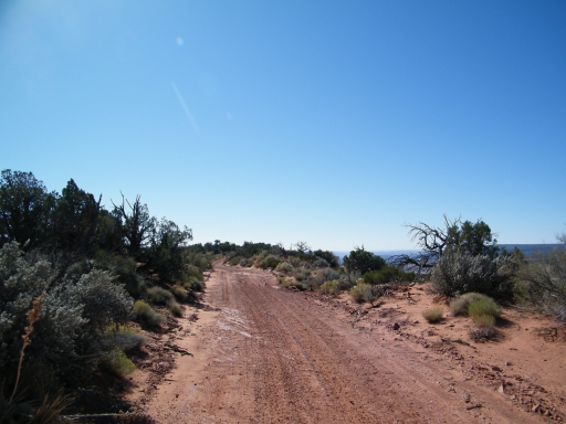
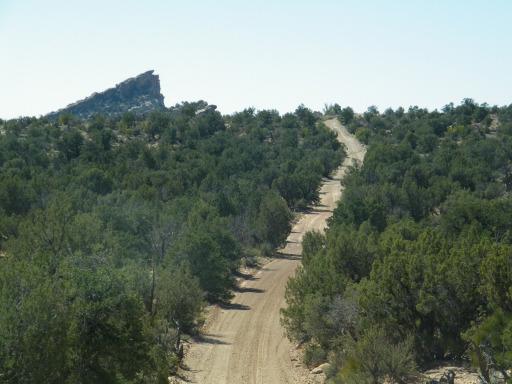
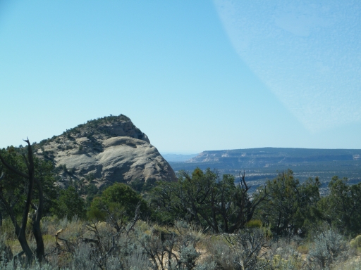
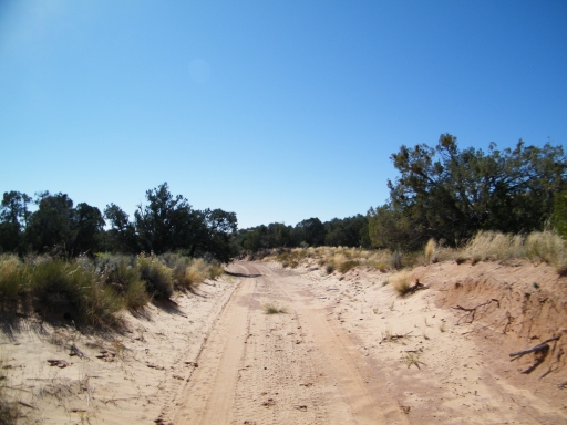
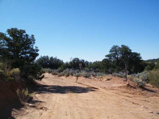
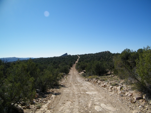
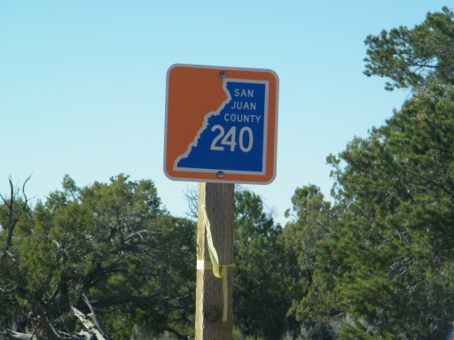
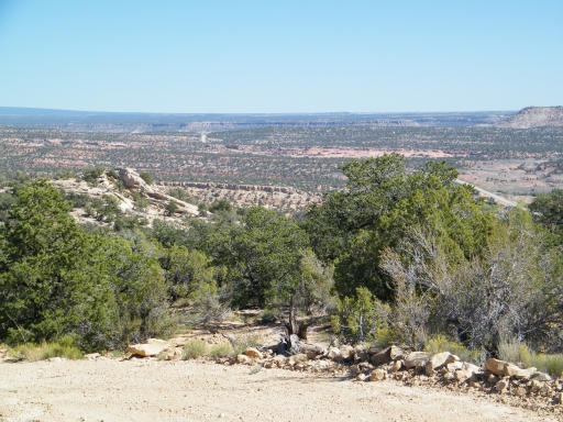
The trail was very easy to find and well marked. It was also a very easy trail. We saw the big rock that sticks up over Comb Ridge as we worked our way through the brush.
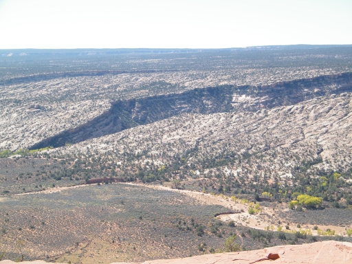
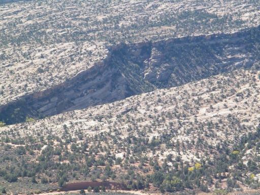
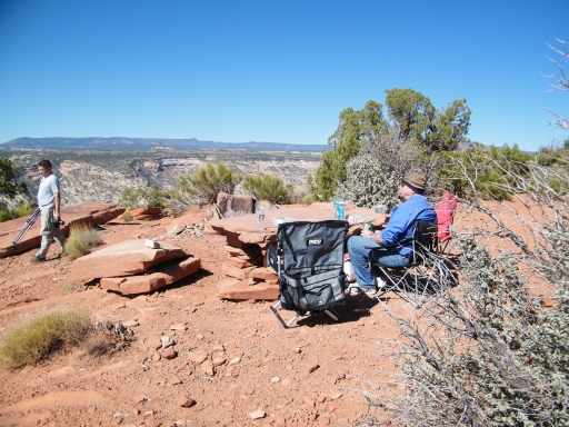
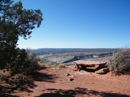
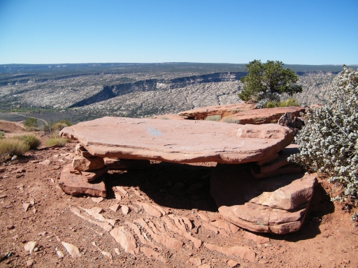
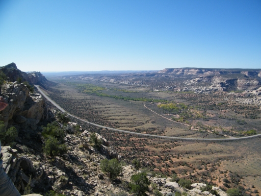
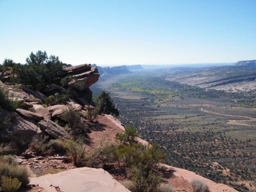
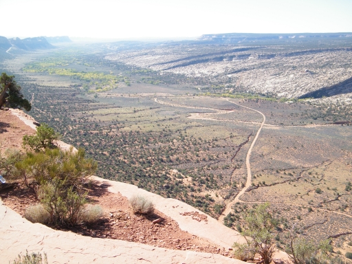
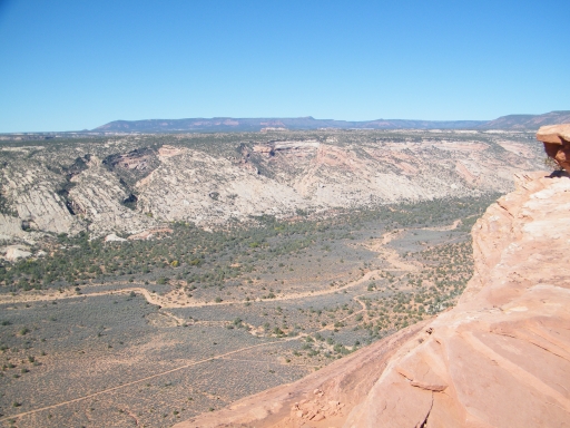
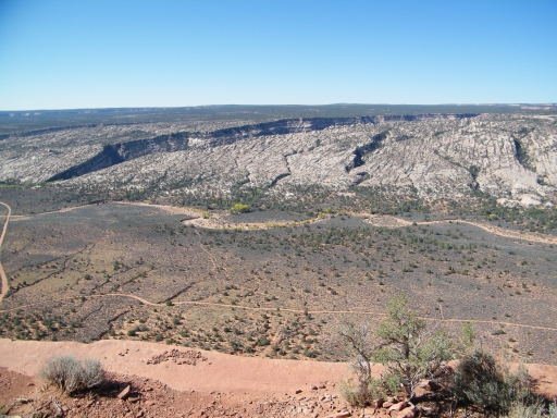
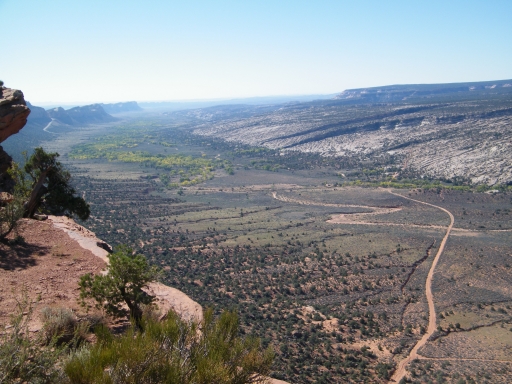
Then, suddenly, the trail got close to the edge of the ridge and we found ourselves at the most awesome overlook we'd seen in the area. We got out to check things out and found that there was even a table made out of rock. The views were incredible, and we planned on coming back there for lunch. It was still early yet and we wanted to see the rest of the trail. It was possible that the views at the end were even better.
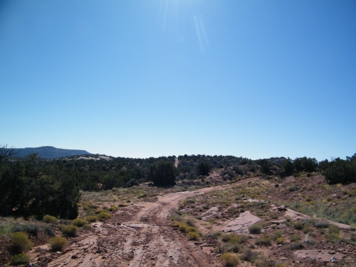
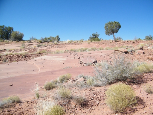
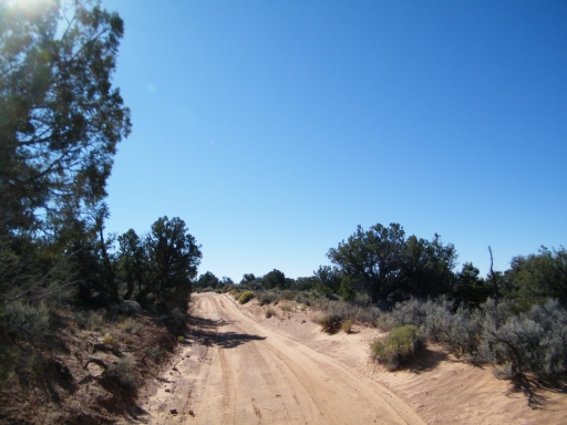
The trail followed the ridge for a bit, getting very close to it in spots. It was distracting! But then the trail moved away from the ridge and we were back in the brush.
Honestly, the trail itself wasn't very interesting. We made a quick drive to the turnaround at the end and got out. There were some awesome views of the highway below us and we could see cars coming out of the cut as they headed down into Comb Wash. We watch for a bit and it was pretty cool.
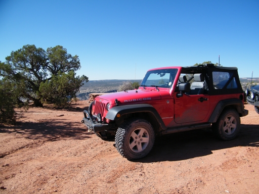
In the end, we decided we'd rather have big views in the quiet instead of listening to cars in the distance so we headed back to the overlook. We stayed there quite a while. Our lunch was really nice with the table and the overlook was roomy and flat. The day was heating up and the sun felt really good.
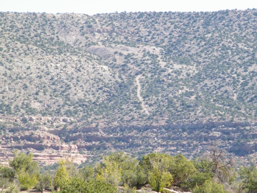
After lunch we did some exploring and got out some maps. We could see the Comb Ridge trail below us and the ridge itself stretching south. The best part was seeing how big Arch Canyon was and seeing bits of Hotel Rock. We were going to be there on Saturday and we were fascinated. It was so cool!
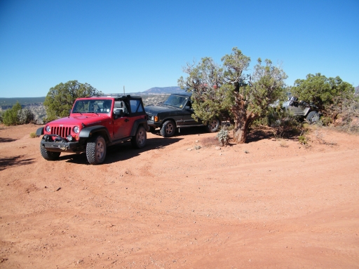
But we still had miles ahead of us so we reluctantly packed up and left. There was a campfire ring at the overlook and it would be a really nice place to camp though it could get pretty windy.
We'll definitely hit Posey's Trail every time we're in the area. It's perfect.