TrailDamage.com

Photos, videos and information about 4x4 trails in Colorado and Utah

  • Trails
    • Colorado
    • Utah
  • Reports
    • Featured Photos
    • Featured Videos
    • Reports Calendar
  • Members
  • Search
  • Trail Damage Winners
  • FAQ
  • Community
  • Upcoming Events
  • Membership
  • Log In
  • Facebook
  • Instagram
  • RSS
  • Twitter
  • YouTube

Poison Spider Mesa 040515

May 15, 2004 by Monica

Poison Spider Mesa

Trail Run on May 15, 2004
Report and photos by Monica I., Trail Leader
View trail information for Poison Spider Mesa

Matt F.
Silver 2000 Jeep Wrangler
Bob S.
Green 1997 Jeep Wrangler
Monica I.
Red 2010 Jeep Wrangler Rubicon
Ladd G.
Green 2003 Jeep Wrangler Rubicon
Derek S.
Black 1994 Jeep Grand Cherokee
Aaron N.
Maroon 2003 Jeep Wrangler Rubicon

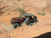
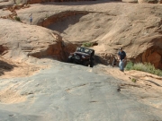
We did this trail as the start of the Moab "Trifecta" of trails -- Poison Spider Mesa, Golden Spike, then Gold Bar Rim. We got on the trail at 8:45 AM, a great start to a great day. The sun was out and it was already warm and we started out on the climb up to the mesa.

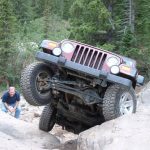
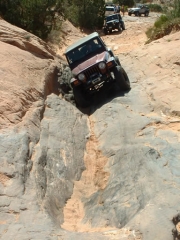
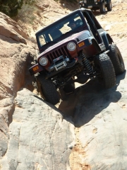
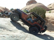
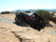
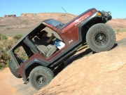
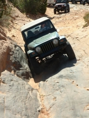
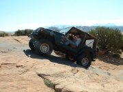
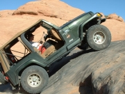
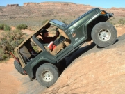
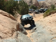
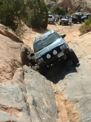
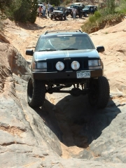
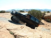
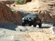
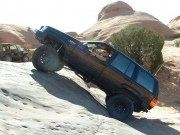
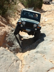
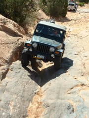
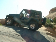
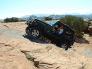
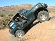
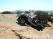
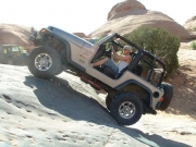
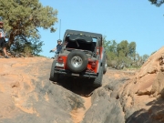
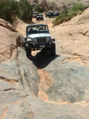
It was Bob's first time on slickrock hills and it took him no time to get the hang of it. We all played in The Wedgy and Aaron took an interesting line, cutting to the right just a little bit after going in sideways. Monica and Bob both went in at a tilt.

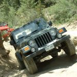
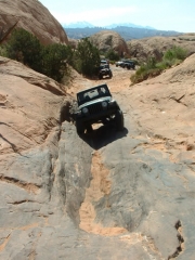
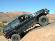
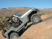
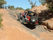
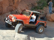
The Waterfall was fun, as always. There were a few more bugs than usual on the trail, and they seemed to really be congregating around the Waterfall for some reason. Everyone went up the big hill at the top and we all made it look easy.

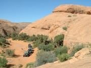
The other rock obstacles were a blast, too. We got to the top and managed to take a wrong turn somewhere and ended up on a lesser trail that cut out the first half of High Speed Mesa. We even went past the grave marker. The offshoot trail wound its way back to the trail, though, so we were on our way.

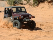
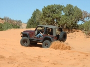
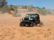
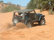
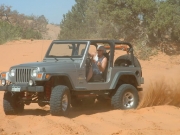
When we got to the bottom there were a few takers who played in the sand. Monica tore her way around the circle a couple of times, then Bob made some nice rooster tails behind him. Matt played awhile (making the "doing donuts in the sand" face), then Aaron dug himself into the sand in two-wheel drive. That's a great bunch of sand!

We stopped for a bit at the intersection of Poison Spider Mesa and Golden Spike, just long enough to take a picture of Pig Rock. Then we were on our way to the next trail.

aaron_gets_a_wedgy_part_1
aaron_gets_a_wedgy_part_2
aaron_in_sand_part_1
aaron_in_sand_part_2
aaron_on_the_trail
aaron_on_the_waterfall_part_1
aaron_on_the_waterfall_part_2
aaron_up_a_hill
aaron_up_a_rock
bob_and_matt
bob_gets_a_wedgy_part_1
bob_gets_a_wedgy_part_2
bob_on_the_trail
bob_on_the_waterfall_part_1
bob_on_the_waterfall_part_2
bob_up_a_rock
derek_gets_a_wedgy_part_1
derek_gets_a_wedgy_part_2
derek_gets_a_wedgy_part_3
derek_on_the_trail
derek_on_the_waterfall_part_1
derek_on_the_waterfall_part_2
derek_up_a_rock
jeeps_on_sand
ladd_gets_a_wedgy_part_1
ladd_gets_a_wedgy_part_2
ladd_in_sand
ladd_on_the_trail
ladd_on_the_waterfall
ladd_up_a_hill
ladd_up_a_rock
matt_gets_a_wedgy_part_1
matt_gets_a_wedgy_part_2
matt_in_sand
matt_on_the_trail
matt_on_the_waterfall
matt_up_a_rock
monica_gets_a_wedgy_part_1
monica_gets_a_wedgy_part_2
monica_on_the_waterfall
pig_rock
slickrock_trail
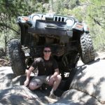
worlds_greatest_dad

Reports from Other Days: 11

Use the arrows or dots to flip through the previews of the other reports for Poison Spider Mesa. Click one of them to read more and see all of the photos from that day.
May 21, 2009

Led by Mike S.
The morning started off with Mike, Gary, Walt, and Jeff heading off early to run the "Trifecta" of Poison Spider Mesa, Golden Spike and Gold Bar Rim while the rest of our vacationing group was going to leave later to run Rusty Nail. We were hoping to meet up at…
« »
  • 1
  • 2
  • 3
  • 4
  • 5
  • 6
  • 7
  • 8
  • 9
  • 10
  • 11
Join Us!
If you aren’t a Member or Subscriber, you can’t see all of the content on this site. Get membership information to see why this site is best when you join and log in

Information for Subscribers

When you log in you’ll see more information here:

  • Recent Community Forum posts
  • Recent polls
  • Upcoming Events you can attend
  • Links to online users

© 2000-2023 · TrailDamage.com · Terms and Conditions · About · Contact
Trail information is only accurate on the date posted. Trails may have changed or closed since that date. Use this information for historical purposes only.
Contact the Forest Service or Bureau of Land Management for up-to-date trail information.
/* ----------------------------------------- */ /* View slug: reports-other-reports-for-same-trail-slider - start */ /* ----------------------------------------- */ /* place the prev/next controls on the sides */ .td-transition-controls .wpv-filter-next-link, .td-transition-controls .wpv-filter-previous-link { border: none; font-size: 300%; position: absolute; top: 70px; } .td-transition-controls .wpv-filter-previous-link { left: 0; } .td-transition-controls .wpv-filter-next-link { right: 0; } /* center the page selector horizonatally */ .td-transition-controls ul.wpv_pagination_dots { text-align: center; margin-top: 10px; } /* center the page selector horizonatally */ .td-transition-controls ul.wpv_pagination_dots li.wpv_pagination_dots_item, .td-transition-controls .wpv_pagination_dots li a { display: inline-block; float: none; } /* remove the default styles */ .td-transition-controls .wpv_pagination_dots li a { text-decoration: none; border-bottom: none; } .td-slider-container { padding: 0 25px; margin-bottom: 20px; position: relative; width:100%; display:table; } .td-slides { position: relative; } .td-slides-image { float:left; display:table-cell; } .td-slides-image img { border:1px solid #c0c0c0; } .td-slides-content { padding:4px 4px 4px 10px; border-top:1px solid #c0c0c0; border-right:1px solid #c0c0c0; border-bottom:1px solid #c0c0c0; display:table-cell; height:227px; overflow:hidden; } .td-slides-content h3 { margin-top:8px; } .td-slides-leader { font-size:smaller; margin-top:4px; } /* ----------------------------------------- */ /* View slug: reports-other-reports-for-same-trail-slider - end */ /* ----------------------------------------- */
/* ----------------------------------------- */ /* Content Template: Template for a Single Report - start */ /* ----------------------------------------- */ .entry-header { display:none; } .entry-content h1 { margin-top:16px; padding-top:0; } h1 a { color:#222; } h1 a:hover { color:#666; } p.entry-meta { font-size:small; } #report-body-spacer { clear:both; width:100%; height:20px; } #addtoany-bar { margin-bottom:2em; text-align:center; } .category-reports .post-info .author, .post-info .date { display: none; } .addthis_recommended_horizontal { text-align:center !important; } /* ----------------------------------------- */ /* Content Template: Template for a Single Report - end */ /* ----------------------------------------- */ /* ----------------------------------------- */ /* Content Template: Loop item in REPORTS Runners - start */ /* ----------------------------------------- */ #runners-container { width:100%; clear:both; } .runner { border:1px solid #c0c0c0; margin:0 6px 6px 0; float:left; width:49%; height:81px; } .runner-image { float: left; } .runner-image img { margin:2px 10px 0 2px; height:75px; width:75px; } .runner-name { text-transform:uppercase; } .runner-name a { color:#222; } .runner-name a:hover { color:#666; } .runner-vehicle { font-size:small; } @media only screen and (max-width: 768px) { .runner { width:100%; } } /* ----------------------------------------- */ /* Content Template: Loop item in REPORTS Runners - end */ /* ----------------------------------------- */