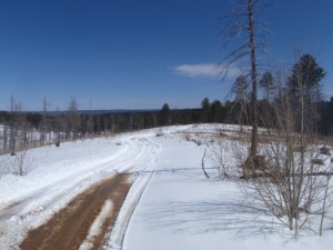
Phantom Creek

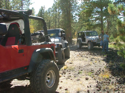
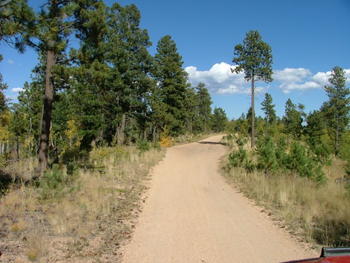
We finished our day exploring the Hayman Fire burn area by doing the Phantom Creek loop. It was the easiest of the trails so far, and the busiest. There were lots of ATVs and dirt bikes, as well as a few vehicles.
A good portion of the ATV riders did not have helmets, and most were going too fast for the conditions. More than a few accidents must happen in this area, we guessed.
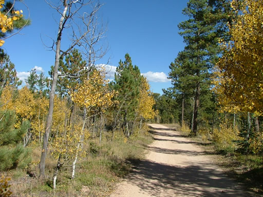
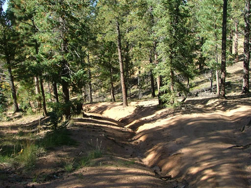
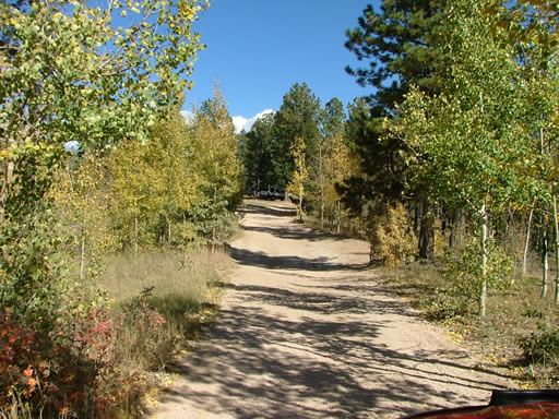
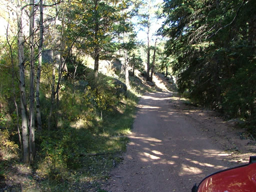
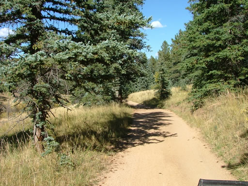
There were lots of people camping, settling in for their dinner as we passed. We started on the Phantom Creek Road side and were surprised to find that it wasn't burned there. The trees were green, which was a nice break from our day of sad, burned trees.
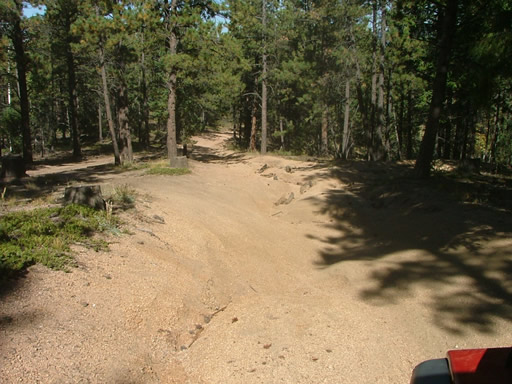
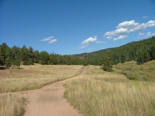
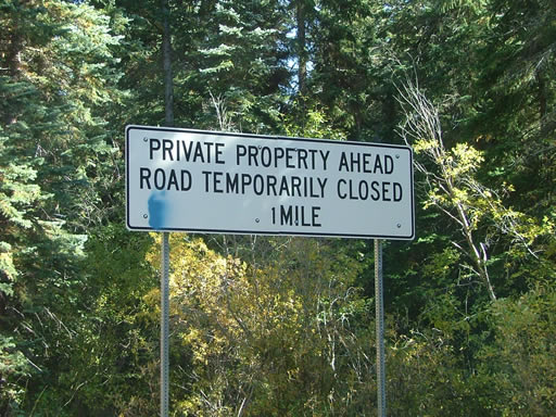
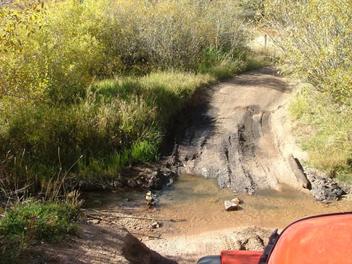
The trail got a little confusing toward the far end, but we eventually found the intersection with Manchester Creek. We planned on taking it as far as the gate. We saw the warning sign for the gate, but then when we got to the fencing the gate was gone. ATVs rode past us and there were signs of lots of traffic, so we continued on. Very soon we were at another sign facing the other way, mentioning another gate. We never saw a gate.
We continued for a bit, but then realized we'd be there all night if we kept exploring. We soon turned back, backtracking to the Phantom Creek intersection. There were way too many spurs to check out.
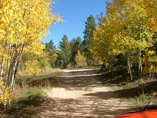
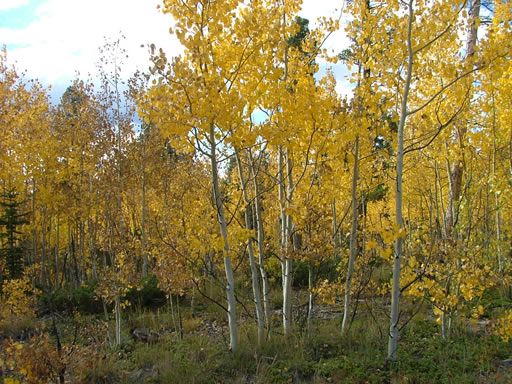
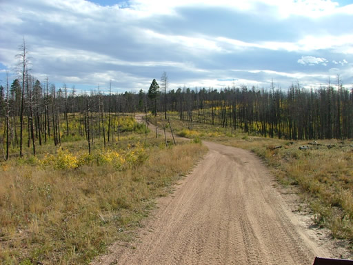
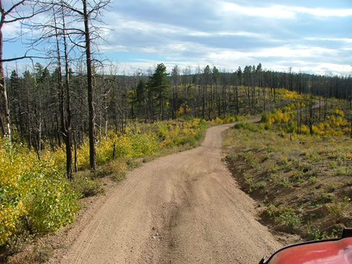
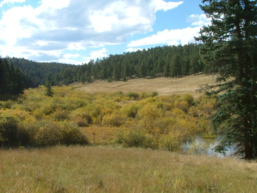
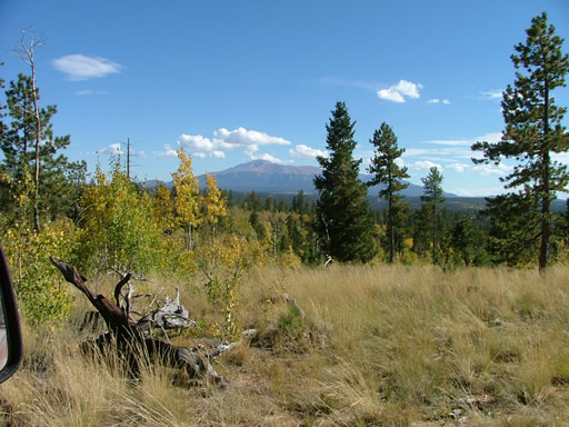
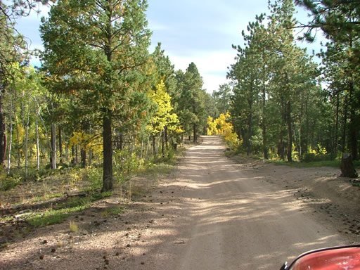
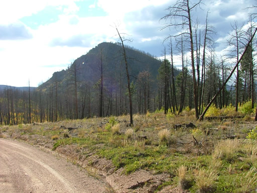
Once we got to Signal Butte Road, we saw the Hayman Fire burn. It must have stopped at the creek in this area. It looked like the rest of the terrain we had seen all day -- lots of tall, black, burned trees surrounded by short, yellow aspens. It was beautiful in an odd way. It was definitely the most interesting way to see the yellow trees.
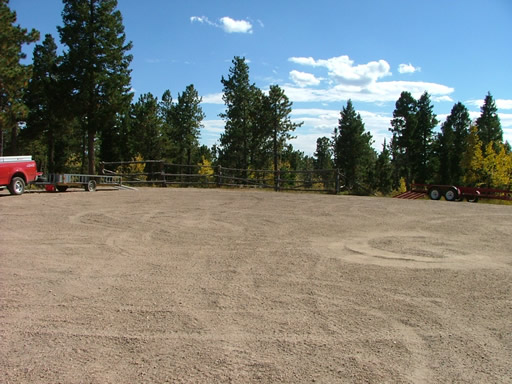
It wasn't long before we were back at the big parking area. We aired up there and reconnected, and then headed out. Some of us went to dinner in Woodland Park on the way home, and everyone got home early (compared to the times we usually get home, anyway).
It was a great, mellow finish to a very interesting day.

Reports from Other Days: 2
Use the arrows or dots to flip through the previews of the other reports for Phantom Creek. Click one of them to read more and see all of the photos from that day.