TrailDamage.com

Photos, videos and information about 4x4 trails in Colorado and Utah

  • Trails
    • Colorado
    • Utah
  • Reports
    • Featured Photos
    • Reports Calendar
  • Members
  • Search
  • FAQ
  • Community
  • Upcoming Events
  • Membership
  • Log In
  • Facebook
  • Instagram
  • RSS
  • Twitter
  • YouTube
  • Trails
    • Colorado
    • Utah
  • Reports
    • Featured Photos
    • Reports Calendar
  • Members
  • Search
  • FAQ
  • Community
  • Upcoming Events
  • Membership
  • Log In

Owl Creek Pass 140918

September 18, 2014 by Roger Ryken

Owl Creek Pass

Trail Run on September 18, 2014
Report and photos by Roger R., Trail Leader
View trail information for Owl Creek Pass

Roger R.
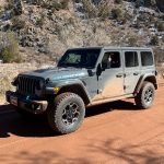
Gray 2021 Jeep Wrangler Rubicon 4xe
Walt S.
Gray 2022 Jeep Wrangler Unlimited Rubicon 392

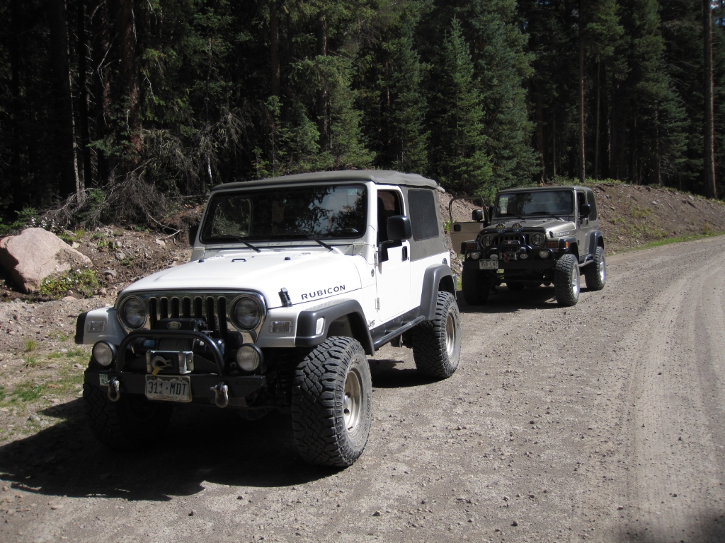
We were driving from Denver to Ouray, and we stopped for lunch at a great BBQ place in Gunnison along the way to the trail. In our haste to get to the Owl Creek Pass trailhead we forgot to gas up before leaving town. So we had to venture a couple of miles past the trailhead to the nearest gas station and double back. We hit the trailhead at about 1:30 in the afternoon, and we were really glad to get off the pavement. Walt suggested that we do the trail without airing down as he had done this trail previously and remembered the trail was pretty smooth. This trail will add a few miles to our trip, cutting off the corner of highway where Montrose sits. It would also add a bit of time to our trip to Ouray, but we had plenty of daylight remaining.

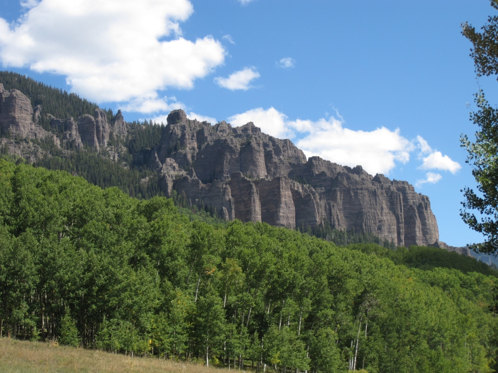
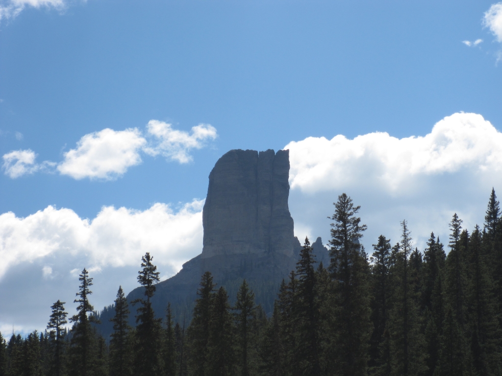
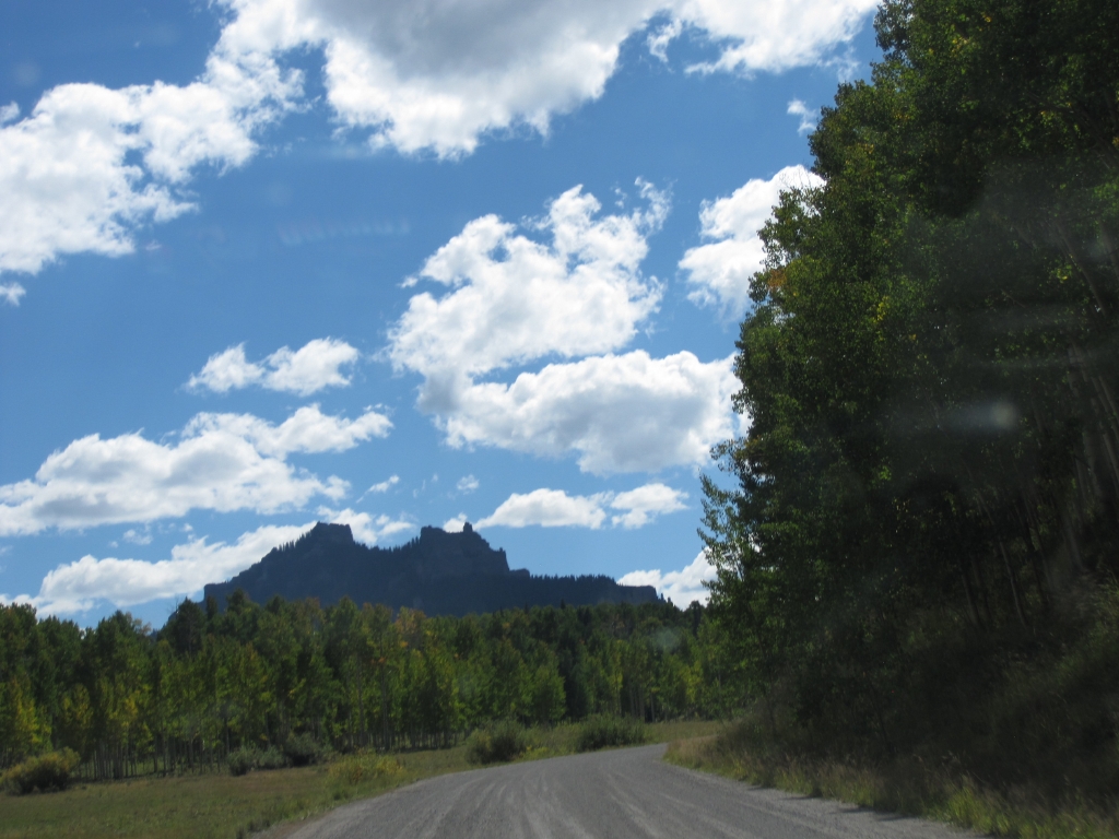
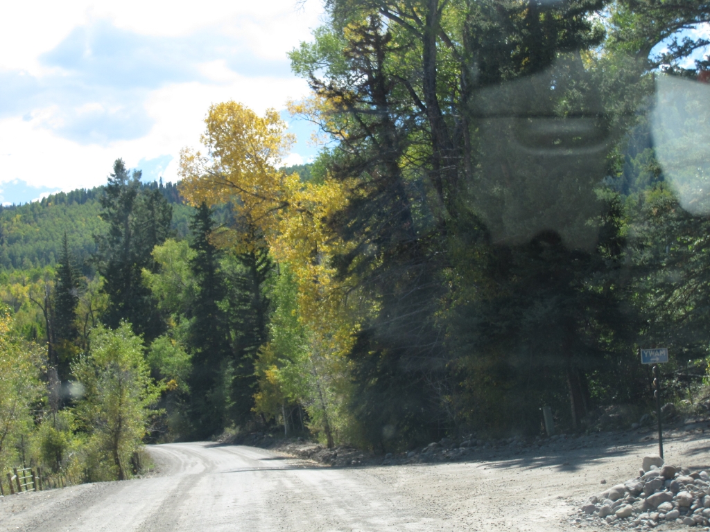
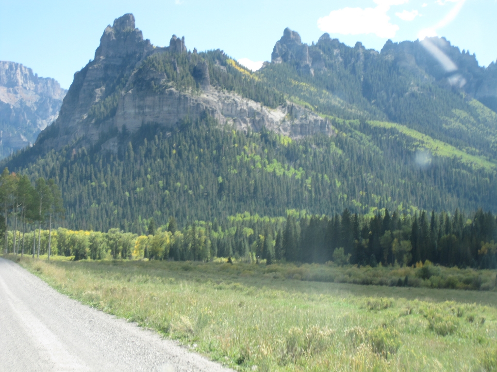
The trail wandered through a small, residential area but it wasn't long before houses gave way to open space and we could see Cimarron Ridge in the distance. The ridge is made up of spires, lined up like soldiers in a formation.

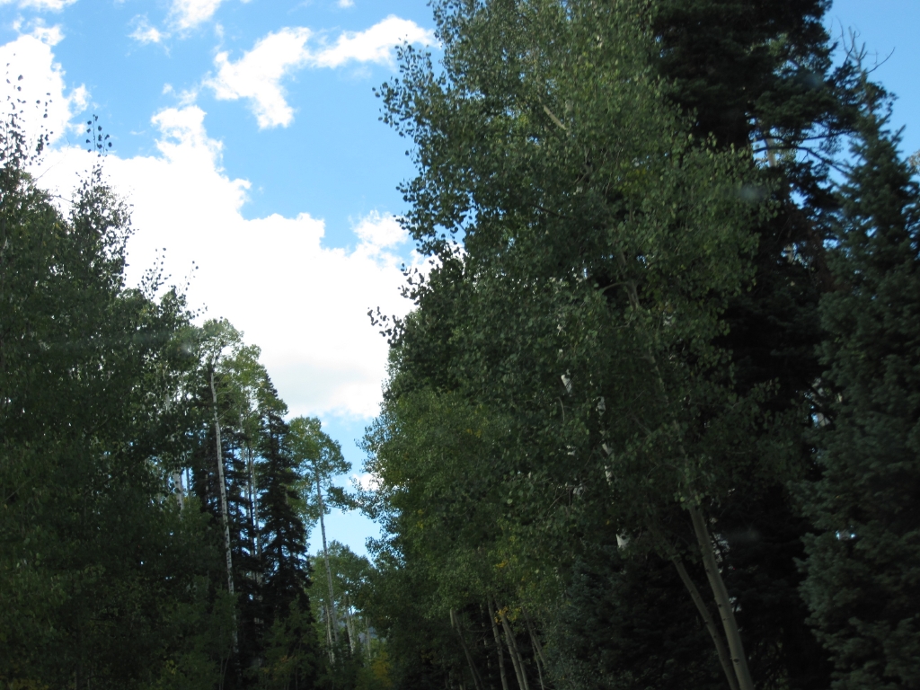
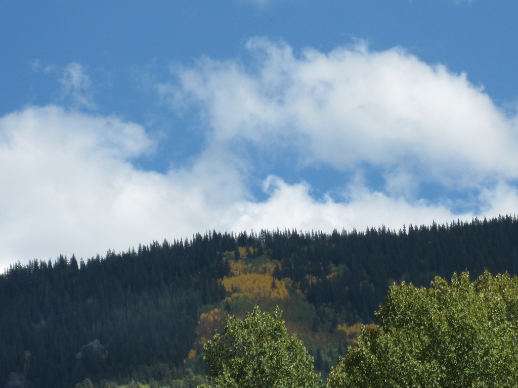
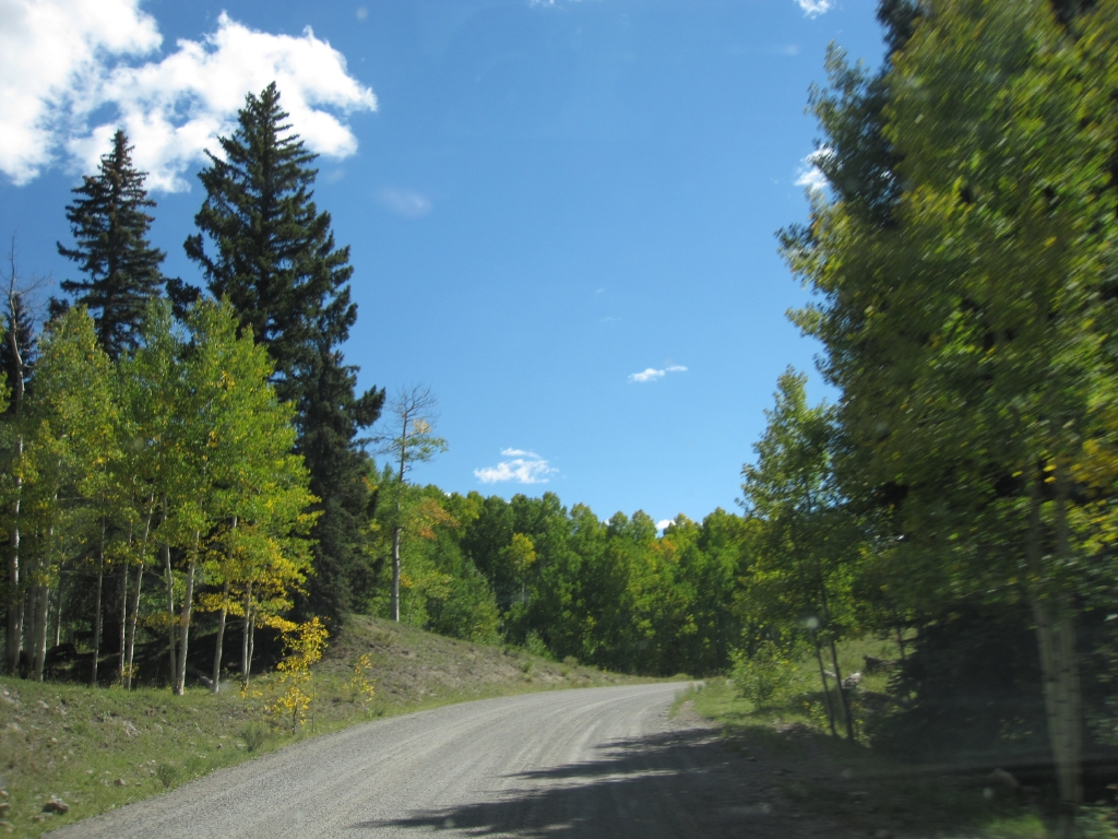
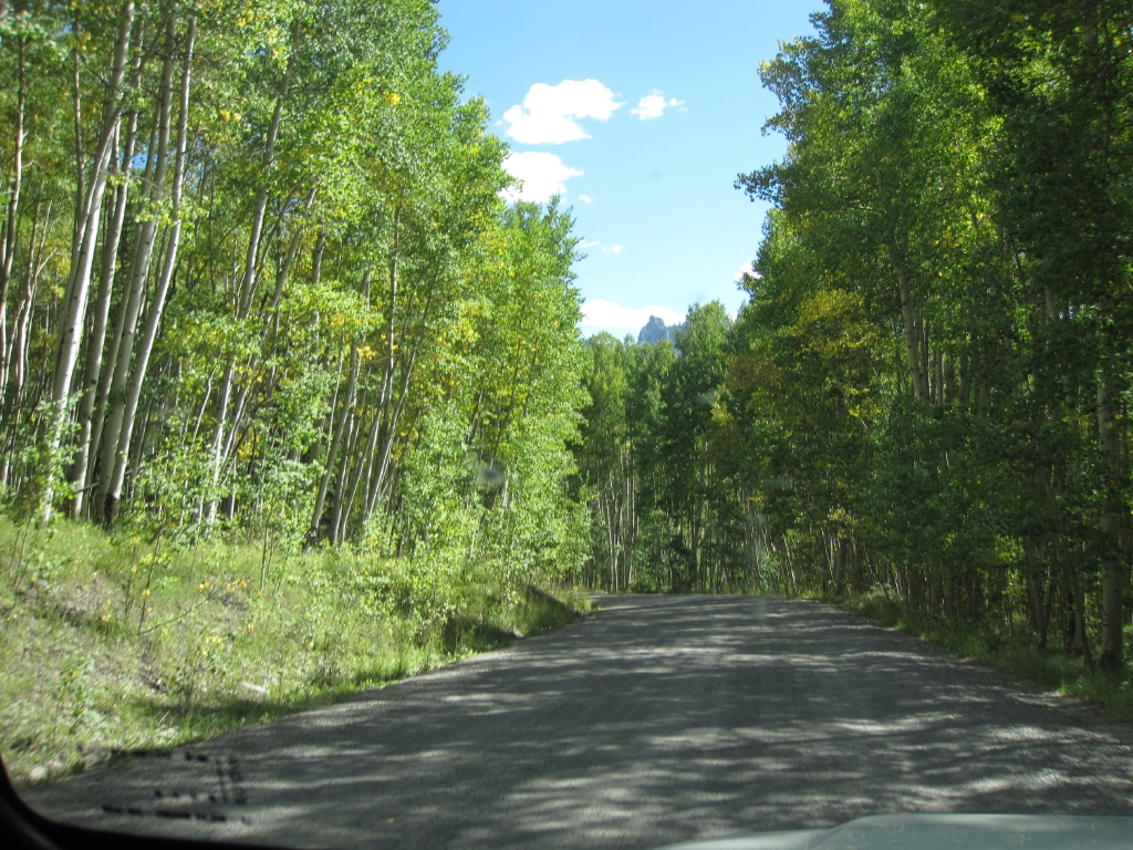
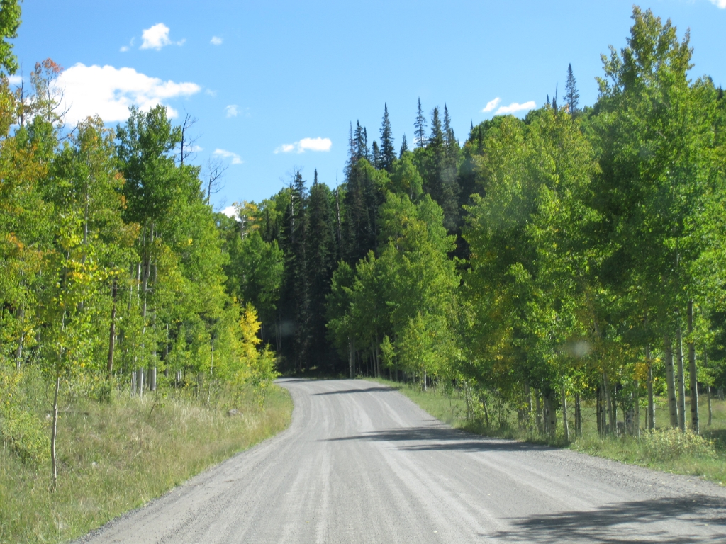
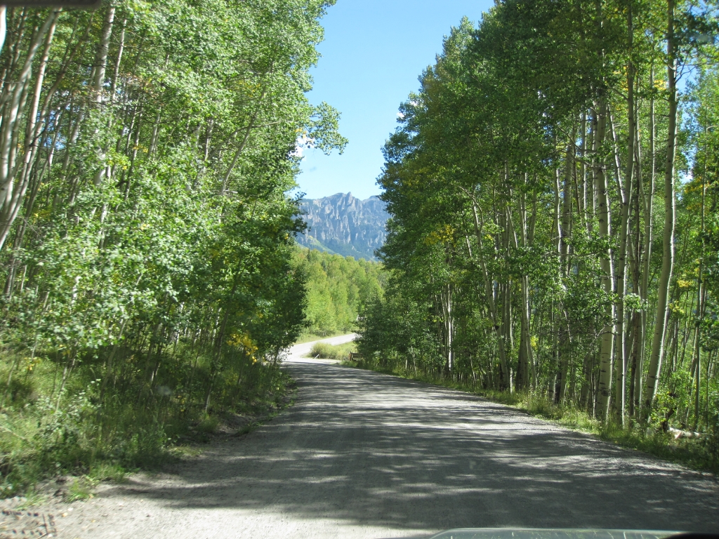
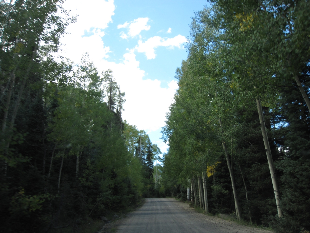
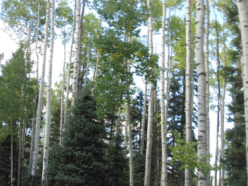
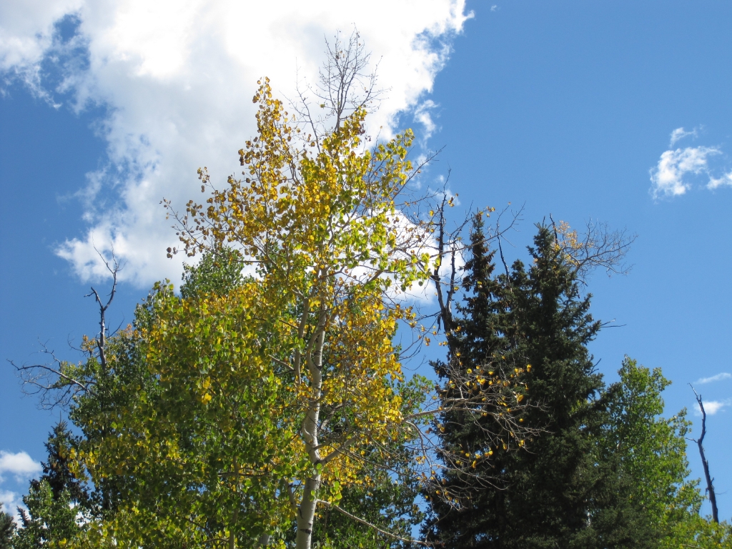
We meandered through groves of tall aspen trees and into meadows with views that took our breath away. The aspen immediately adjacent to the trail had barely started to turn but did provide a nice contrast with the beautiful blue skies. We could see several blotches of yellow aspen in the distance. In a week or so, the views of the aspens along this trail will indeed be breathtaking.

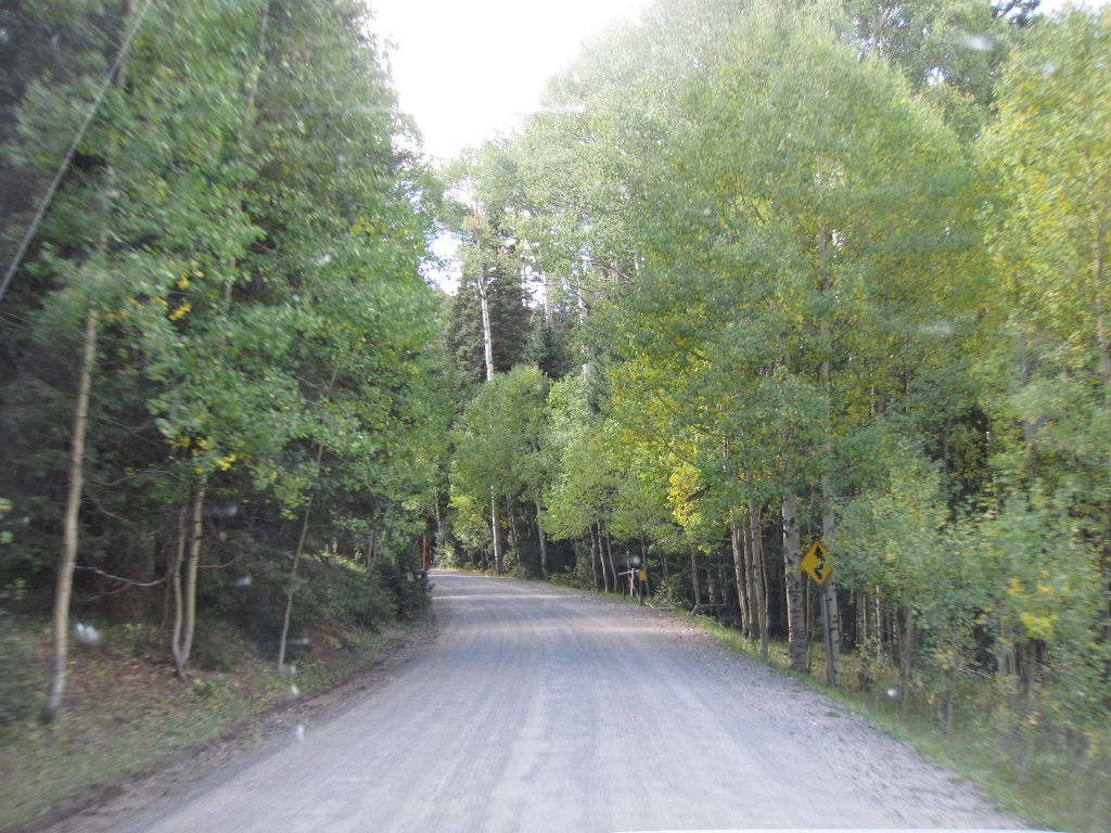
Soon we were into some switchbacks, mellow but frequent. We stopped at what appeared to be the summit, though there was no sign indicating anything of the sort. We began our descent and took in views of the valley below. After the descent, it wasn't long before we hit highway 550 and we made our way to Ouray.

With three days of wheeling ahead of us we were anxious to get started, but we would wait until tomorrow for another trail.
aspens_part_1
aspens_starting_to_turn
at_the_summit
blue_sky
cimmaron_ridge
color_in_the_distance
curve
green_aspens
impressive_view
inspiring_view
large_aspen_grove
meandering_trail
mellow_trail
mountains_in_the_distance
seasonal_gate
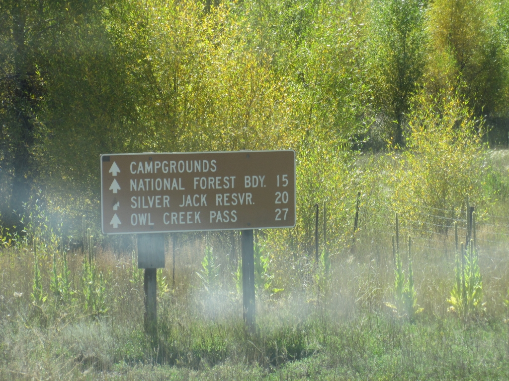
sign_at_the_trailhead
tall_aspen_along_the_trail
tree_tunnel
valley_below
wide_open_spaces

Report from a Different Day
August 26, 2008

Led by Monica I.
We’d already done Blue Mesa Cutoff and Alpine Plateau, but Owl Creek Pass was the one we were really looking…
Join Us!
If you aren’t a Member or Subscriber, you can’t see all of the content on this site. Get membership information to see why this site is best when you join and log in

Information for Subscribers

When you log in you’ll see more information here:

  • Recent Community Forum posts
  • Recent polls
  • Upcoming Events you can attend
  • Links to online users

© 2000-2026 · TrailDamage.com · Terms and Conditions · About · Contact
Trail information is only accurate on the date posted. Trails may have changed or closed since that date. Use this information for historical purposes only.
Contact the Forest Service or Bureau of Land Management for up-to-date trail information.