Ophir Pass
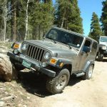
We had originally tried Imogene Pass but it was impassable due to snow blocking the road. We stopped in Silverton for lunch and saw a sign for Ophir Pass there. We asked in town and found out that the trail over the pass had been plowed and was open. So, with that, we figured we would try it.
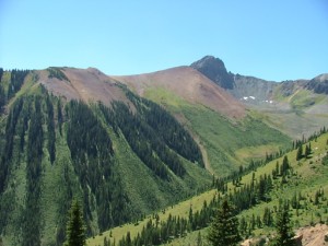
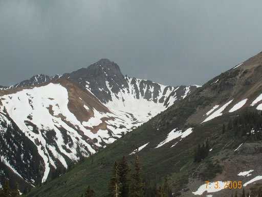
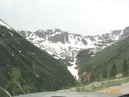
There is Forest Service sign for the turn off for the road so it was easy to find. The east side of the pass was very easy to drive. It was somewhat steep in areas, but otherwise there were no major obstacles. The road was wide enough for vehicles to pass without issue. The scenery was amazing -- everything was lush and green, with waterfalls and big snow bowls in the higher areas providing plenty of opportunities for beautiful photographs.
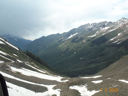
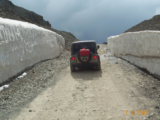
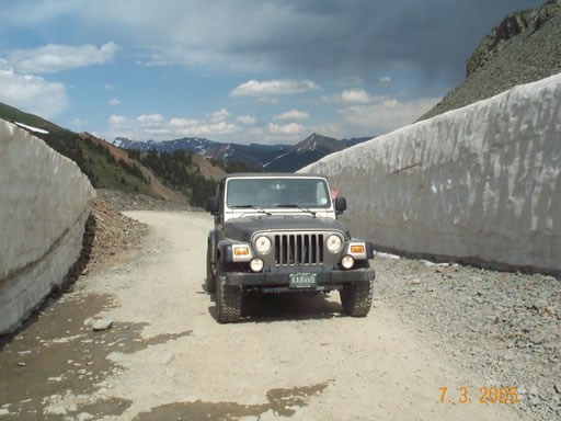
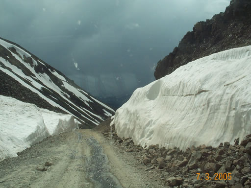
At the top of the pass there was still a considerable snow bank about 8 to 10 feet high. The view from up here was spectacular. It appeared that we were going to get rained on as there were some very dark and ominous clouds towards the west, so we didn't stay up there very long.
The road on the west side of the pass was considerably different that the east side and a little more difficult, but nothing that should be difficult for most SUVs. The first mile and a half was a narrow shelf road that is loose slate-like rock. Within the first half mile after coming down the pass there is a very sharp hairpin turn. Longer wheelbase vehicles would have a slightly more difficult time here, but shorter vehicles should not have an issue at all.
On the narrow portion of the road we came across someone coming up. Luckily it was a small vehicle. It was tight, but not a problem.
The rest of the drive was easy but the scenery was always beautiful. The town of Ophir has no services, and is mainly made of summer vacation homes and cabins.
The trail was very easy compared to others in the area, but very scenic.



Reports from Other Days: 4
Use the arrows or dots to flip through the previews of the other reports for Ophir Pass. Click one of them to read more and see all of the photos from that day.